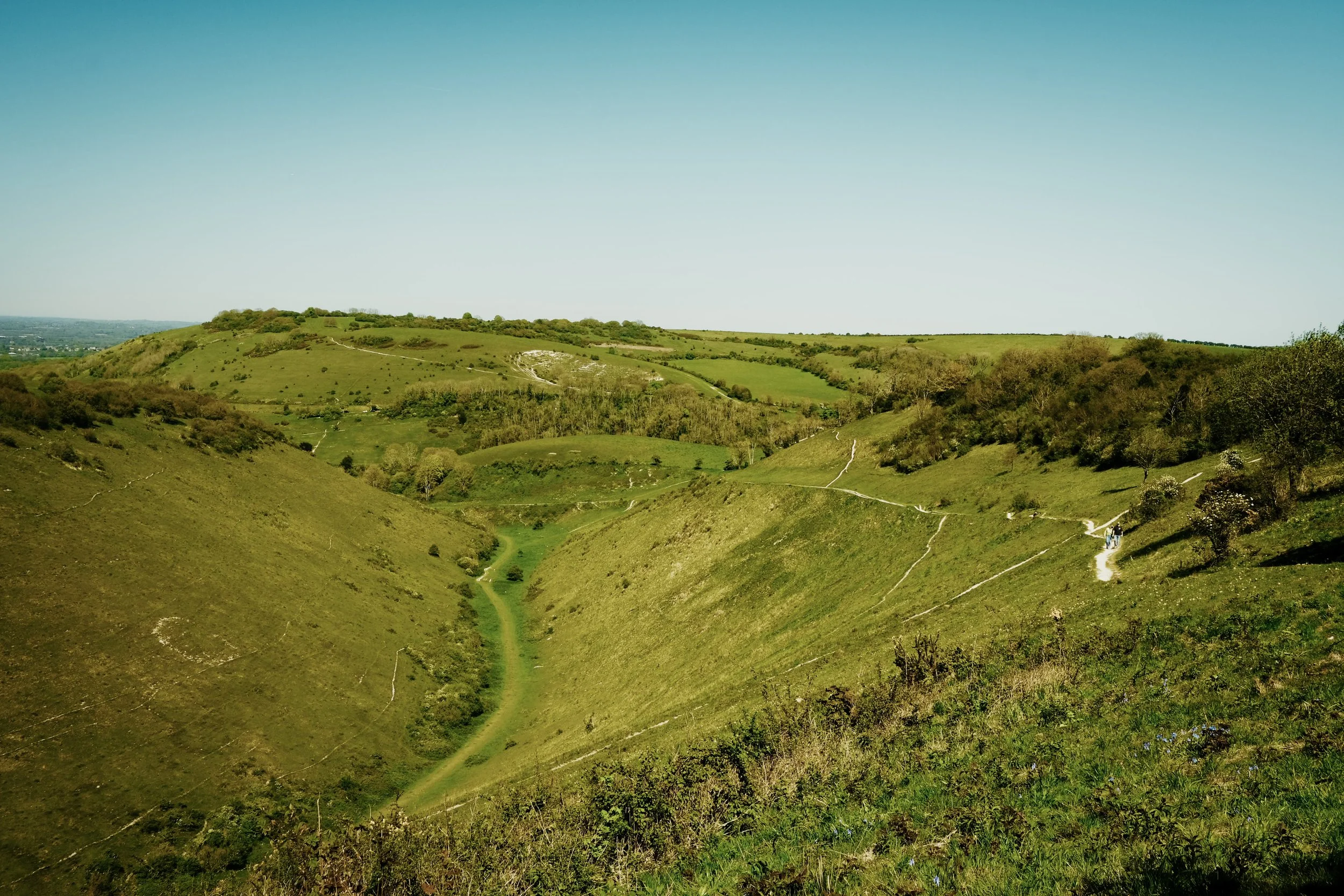
West Sussex · United Kingdom
Hassock to Shoreham-by-Sea
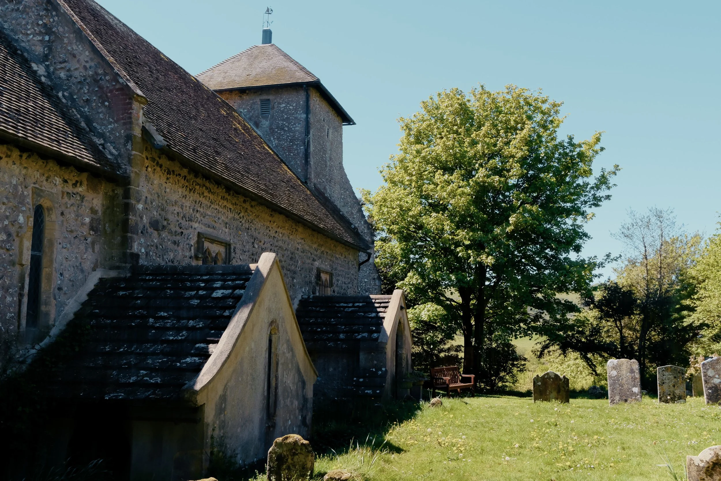
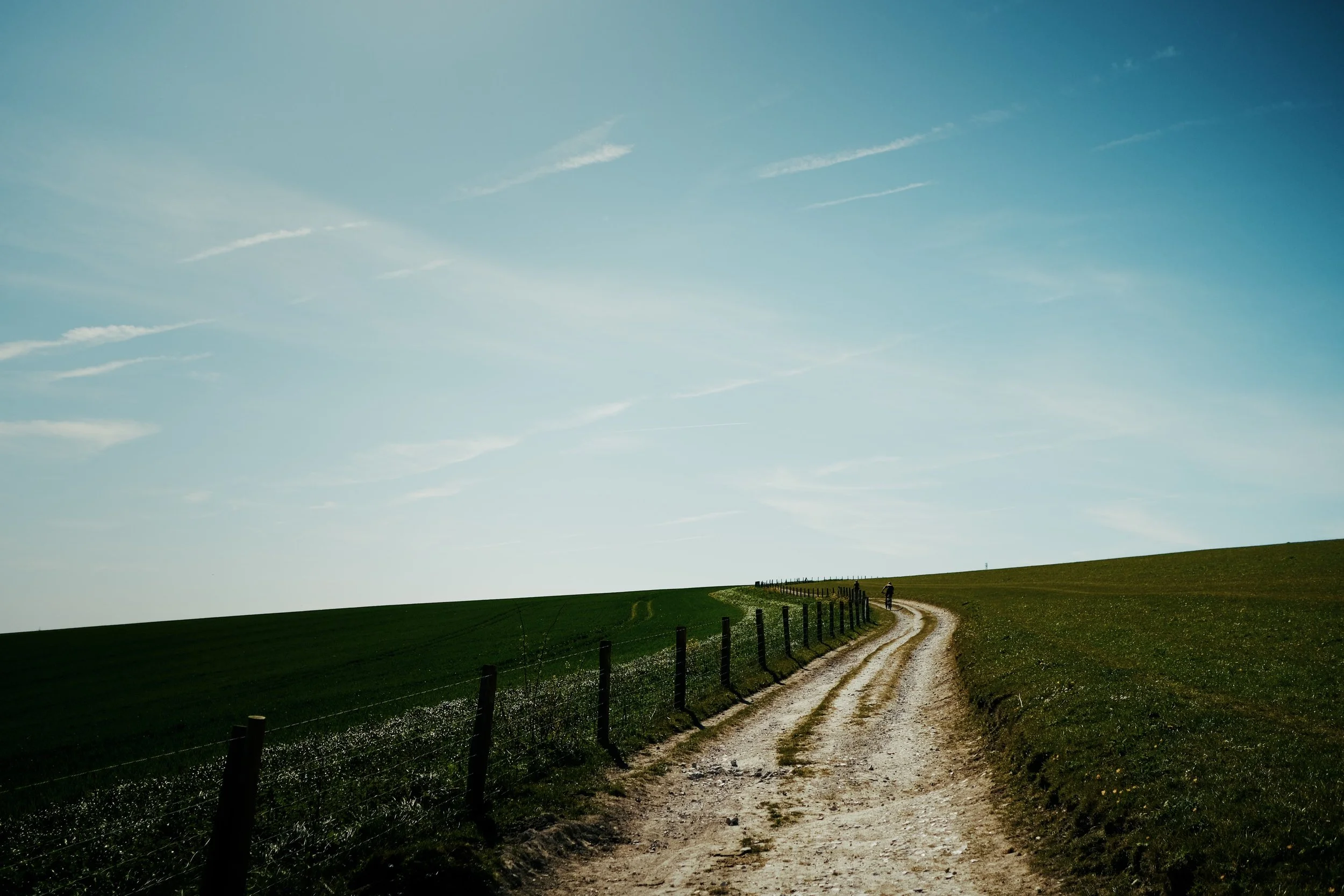
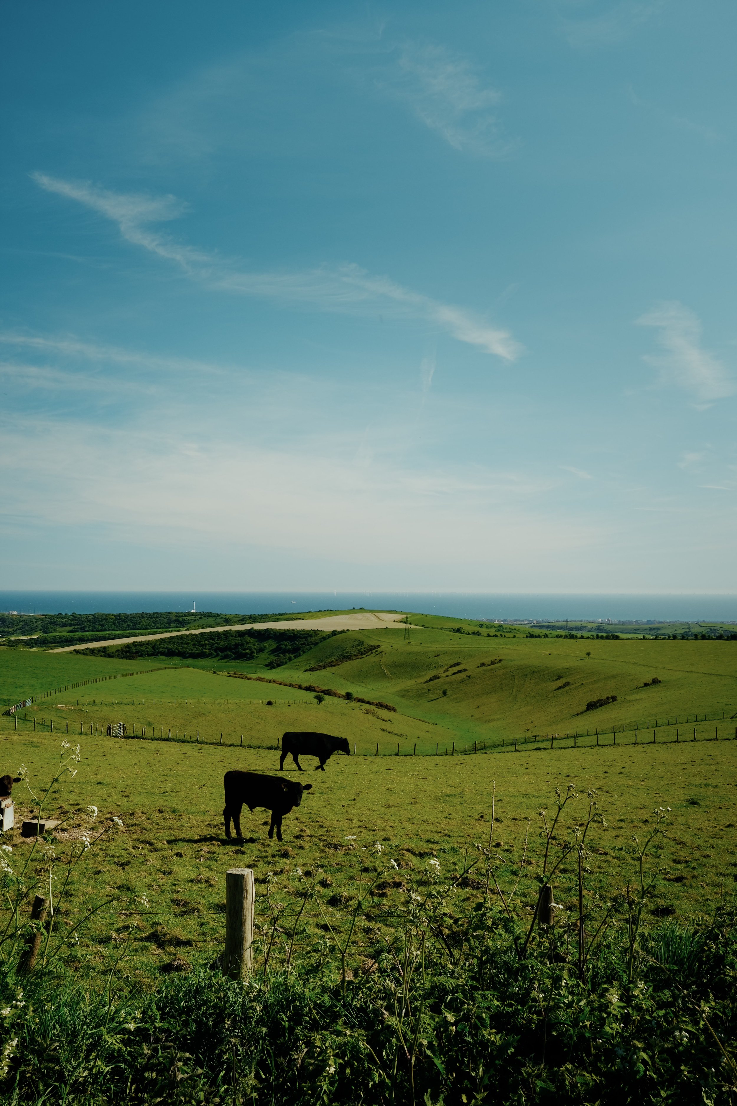
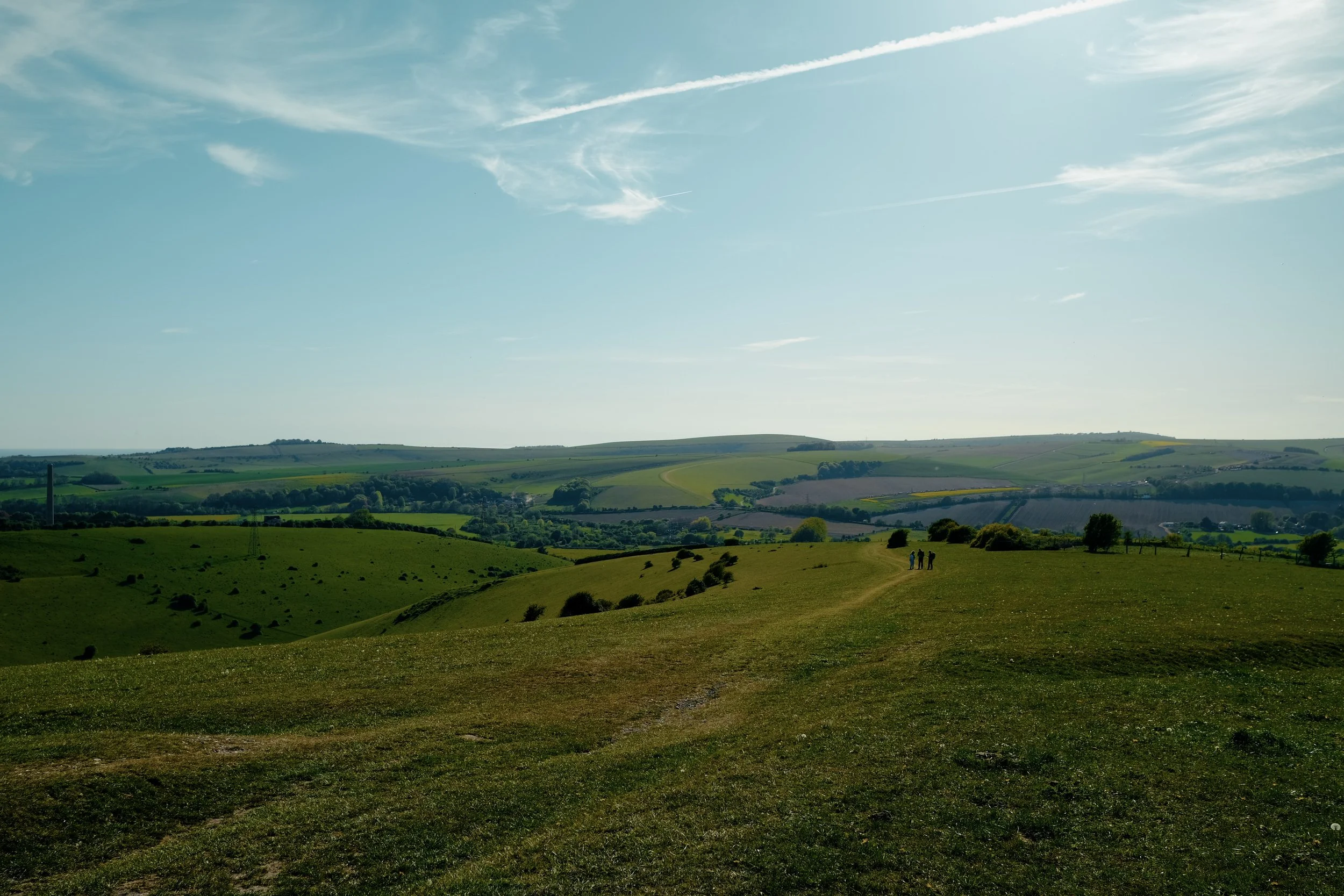
Just under an hour by train from London, this walk takes you from the rolling hills of the South Downs National Park to the coast, following historic trails, ancient paths, and some of the most stunning scenery in southern England.
Highlights include:
Follow sections of the iconic South Downs Way, one of England's most famous long-distance walking routes
Discover parts of the Downs Link, a scenic trail connecting the North Downs and South Downs through beautiful countryside
Experience the stunning chalk grasslands and open landscapes around Devil's Dyke
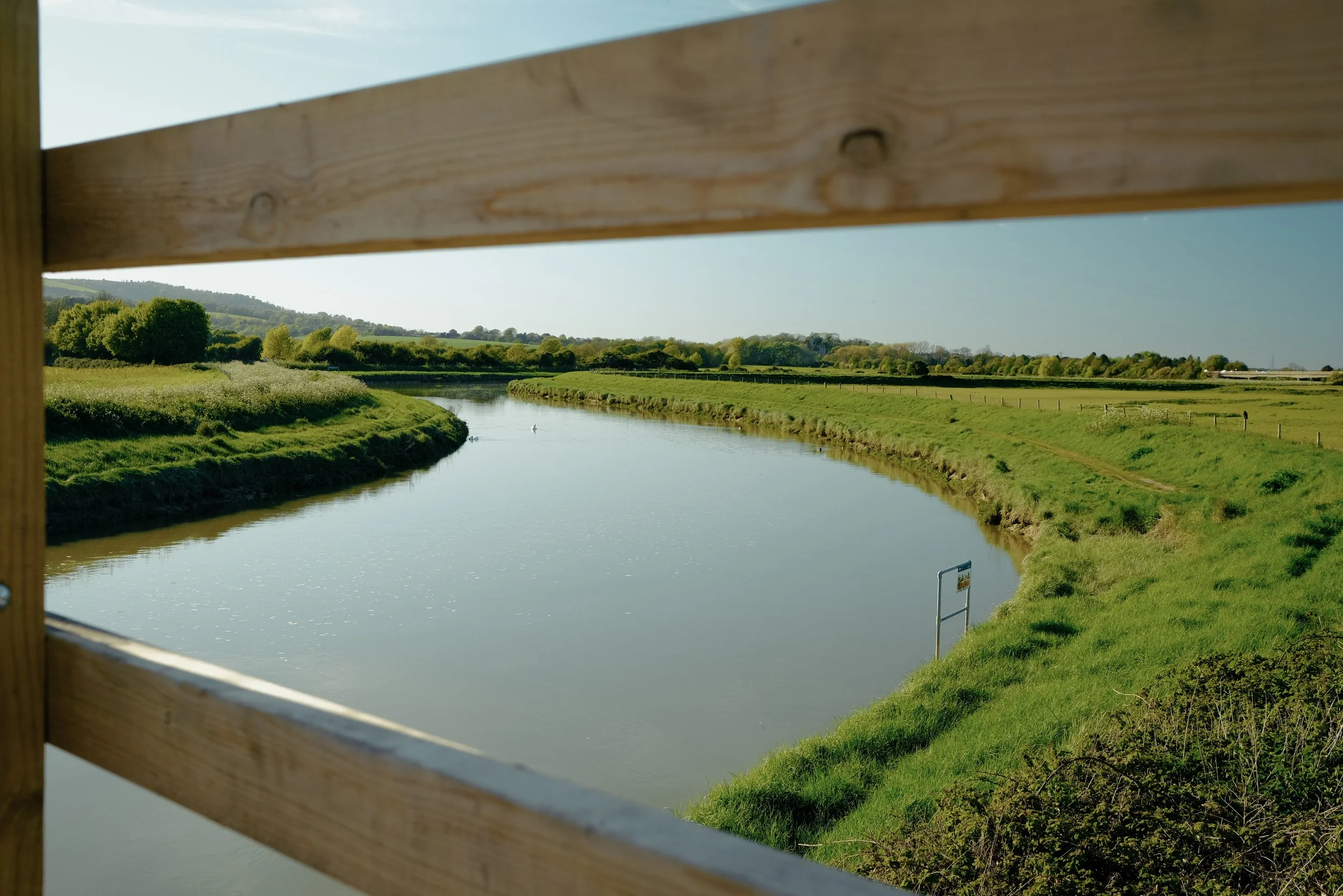
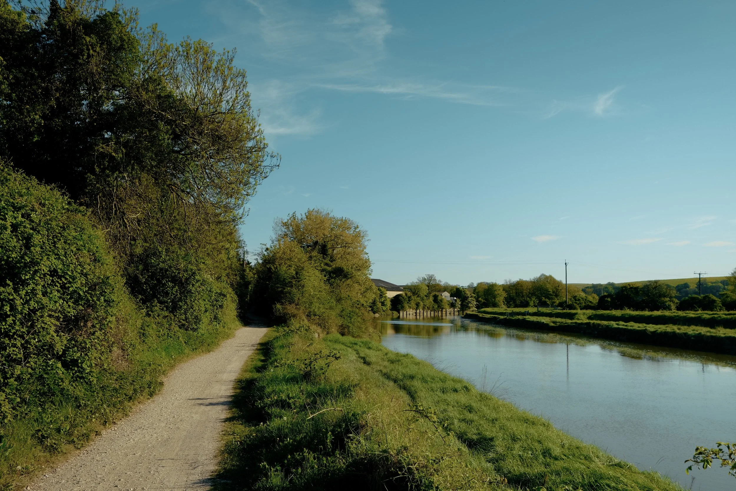
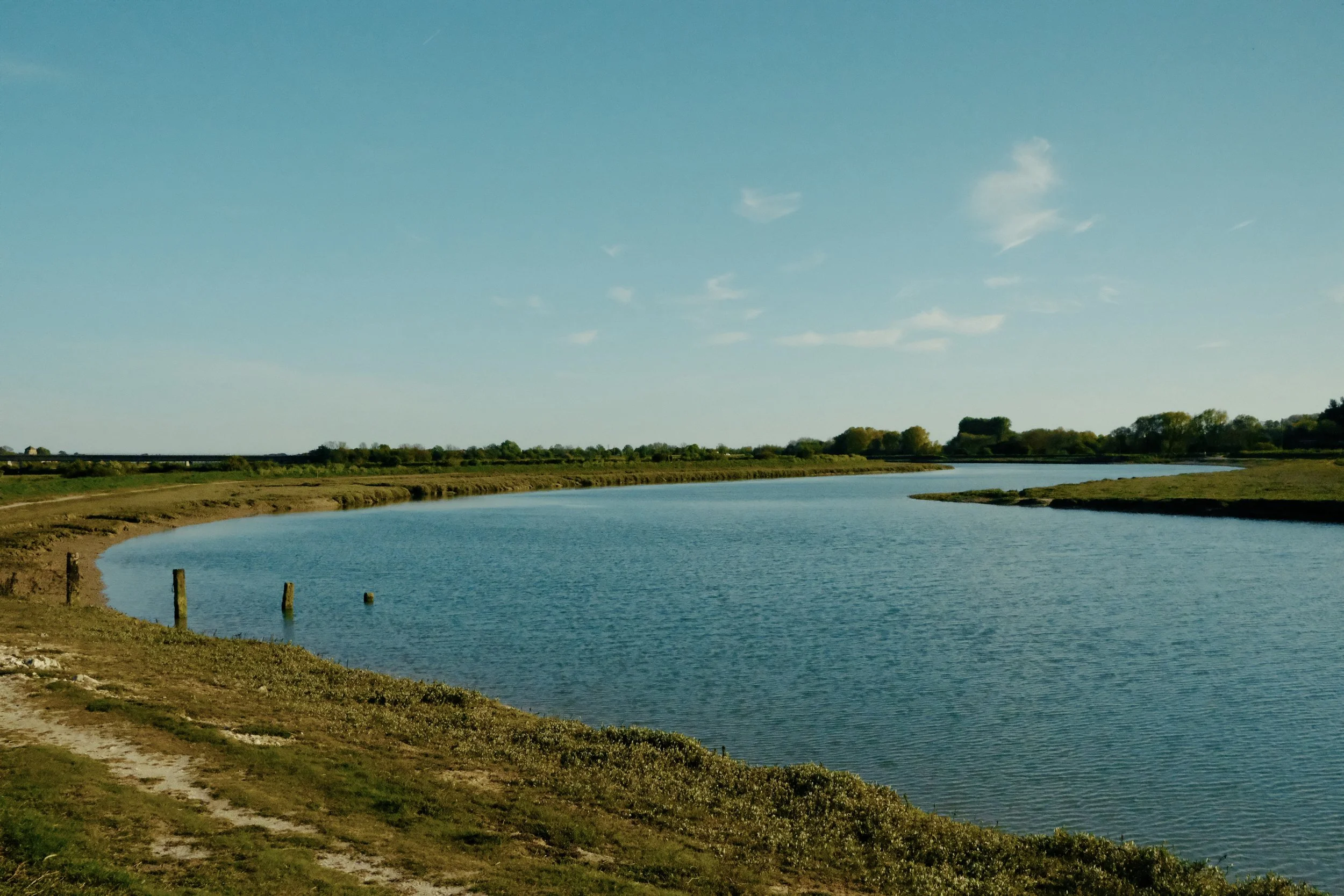
Follow the peaceful River Adur as the route descends towards the coast and Shoreham-by-Sea
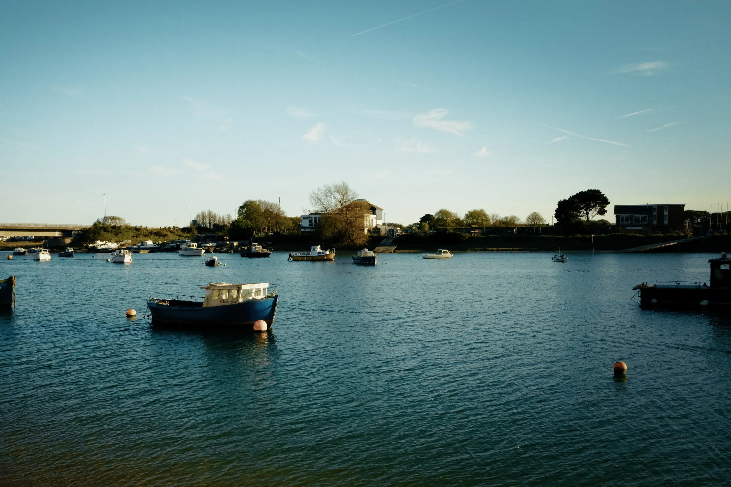
Finish in Shoreham-by-Sea, a historic harbour town with riverside walks, coastal views, and plenty of charm
ACTIVITY OVERVIEW
📏 Distance
xxxkm/xxmi
⏱️ Duration
xxx hours
📈 Elevation
x,xxxm/xxxft
🗓 Best Season
Late xxx – September
ESTIMATED COSTS
🚌 Transfers
~xx EUR
🚡 Lifts Passes
~xx EUR
🎟️ Entrance Fees
~xx-xx EUR per day


The Route
⚠️ The maps provided on this website are intended as a general guide only. Conditions, routes, and features may change at any time. Always rely on your own judgement and seek local or professional advice if possible.
🧭 Navigation Tips
Download offline maps before you go - cell signal is unreliable.
Be familiar with key safety locations and emergency shelters in case you need to bail part way.
Check weather and trail conditions before starting.
About the Trail
xhr · x.xkm · xxxm ascent
Traverse the Fanes plateau, a vast high-altitude meadow dotted with marmots and wildflowers.
Traverse the Fanes plateau, a vast high-altitude meadow dotted with marmots and wildflowers.
Highlights and Top Tips
Tips to go here
Getting to the Trail Head
🚌 Airport Transfer
Prebook Airport transfer is great combination of value and convenience as it provides a direct service to town. Popular operators include shuttle spain transfers, canary shuttle or hoppa.
~€10-€15 · 1 hour
🚎 Public Buses
The public buses operated by Tiadhe are the most economical but does take more time as there are not direct services. You will need to catch line Line #3 to capital, Puerto del Rosario, and then change to catch Line #6 to Corralejo. Tickets can be purchased directly on the bus.
€4-€5 · 1.5-2 hours
🚕 Taxis
Taxis are always an option for privacy and convenience but does come at a cost. A one way trip will set you back between 60 to 90 EUR depending on time of day and number of bags.
€60-€90 · 40 min
🚕 Ride Sharing
🚫 Ride sharing services such as Uber and Bolt are not available in Fuerteventura.
🚎 Transfer Tips
<INSERT DISCOUNTS HERE>
<APPS>
<LINK TO GOOD GUIDES>
<MULTI DAY PASSES OR GROUP TICKETS>
Food Options
🥐 Breakfast option 1
A popular local bar serving traditional Spanish breakfasts including tostadas and simple plates.
€1-€10
☕ Lunch option option 2
A casual spot serving simple breakfast and dishes like tostadas, café con leche, and fresh juice.
€1-€10
🍽️ Dinner option 3
Small minimart with all the standard snack and goodies.
€1-€10
🛒 Random option 4
Small minimart with all the standard snack and goodies.
€1-€10
👩🏻🍳 Self cater
Getting Home
🚌 Airport Transfer
Prebook Airport transfer is great combination of value and convenience as it provides a direct service to town. Popular operators include shuttle spain transfers, canary shuttle or hoppa.
~€10-€15 · 1 hour
🚎 Public Buses
The public buses operated by Tiadhe are the most economical but does take more time as there are not direct services. You will need to catch line Line #3 to capital, Puerto del Rosario, and then change to catch Line #6 to Corralejo. Tickets can be purchased directly on the bus.
€4-€5 · 1.5-2 hours
🚕 Taxis
Taxis are always an option for privacy and convenience but does come at a cost. A one way trip will set you back between 60 to 90 EUR depending on time of day and number of bags.
€60-€90 · 40 min
🚕 Ride Sharing
🚫 Ride sharing services such as Uber and Bolt are not available in Fuerteventura.
Not sure on what to bring?
The complete long-distance
hiking kit list
Everything you need to pack — from blister-prevention basics to gear that's keeps you safe and comfortable on the trail.
Terms of Use
A quick but important note for all visitors: we do our best to share high-quality, accurate information, but it’s always possible that we’ve missed something or that conditions have changed. All GPS tracks (GPX files and maps) and route suggestions are meant to be used as general guidelines—not exact instructions.
Enjoy the Content?
If any of my guides have helped you plan a trip and you’re feeling a little bit generous, consider a small donation to help keep the content coming.