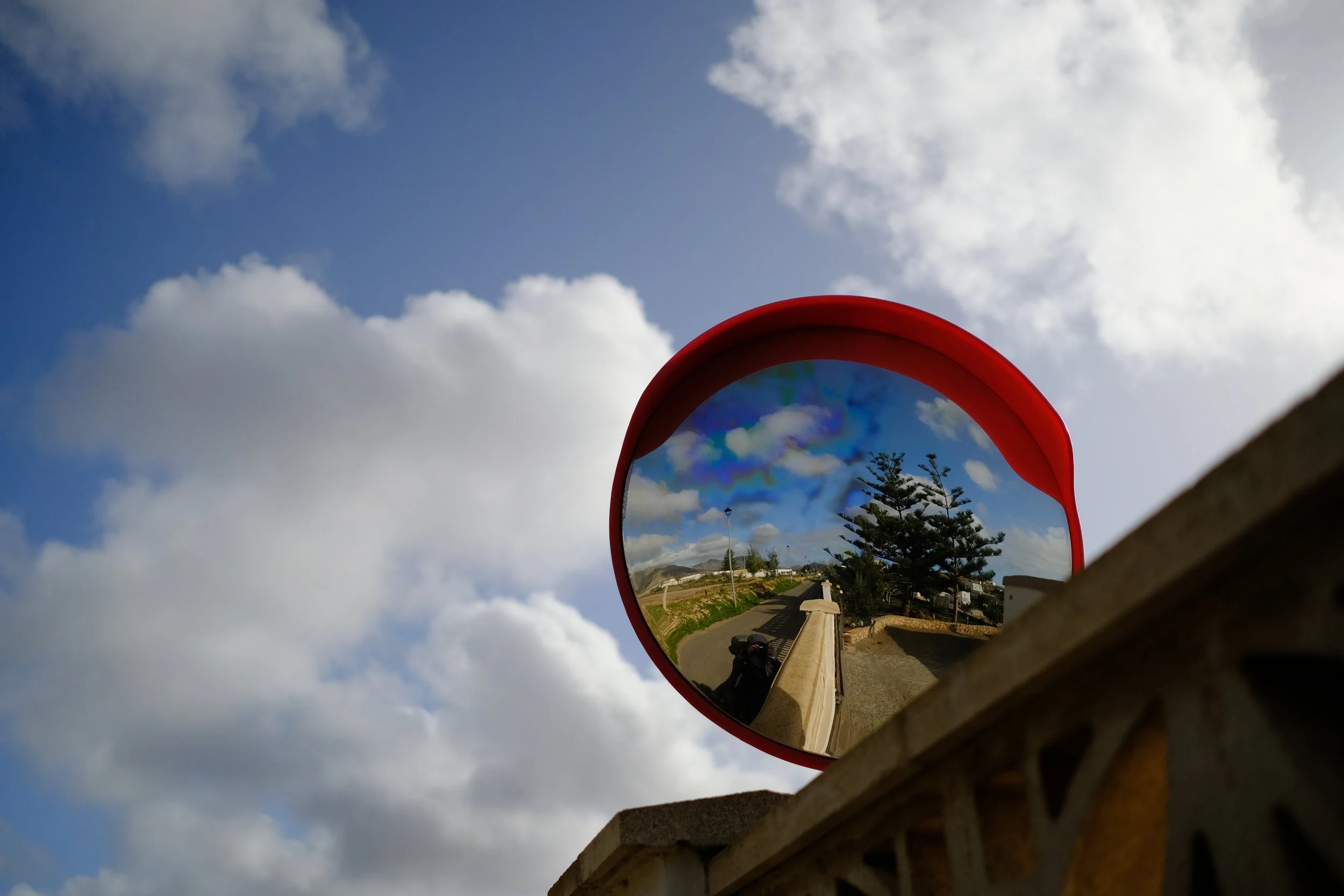
Fuerteventura · Canary Islands
Hiking and camping part of the GR131 in Fuerteventura in 6 Days
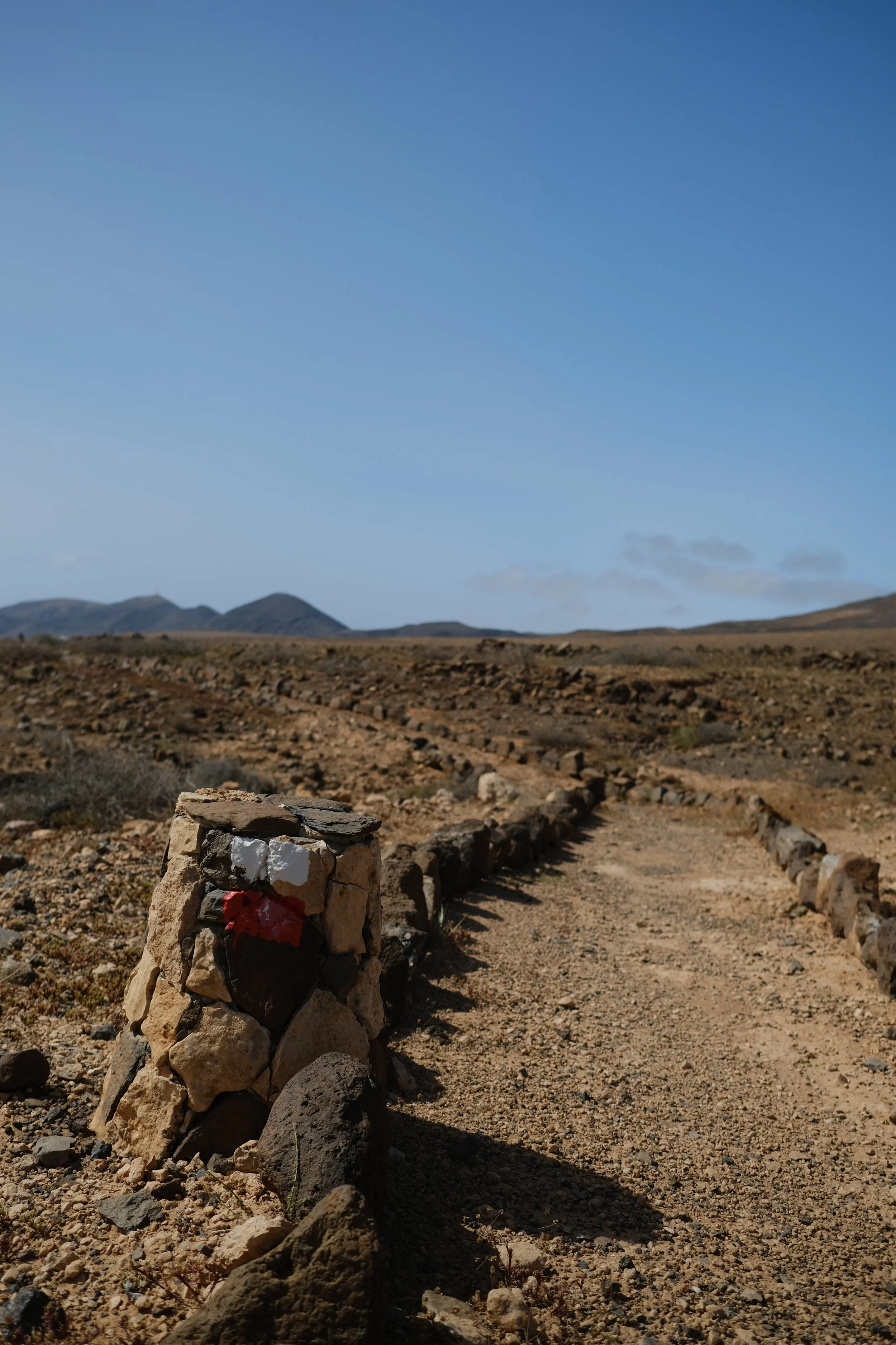
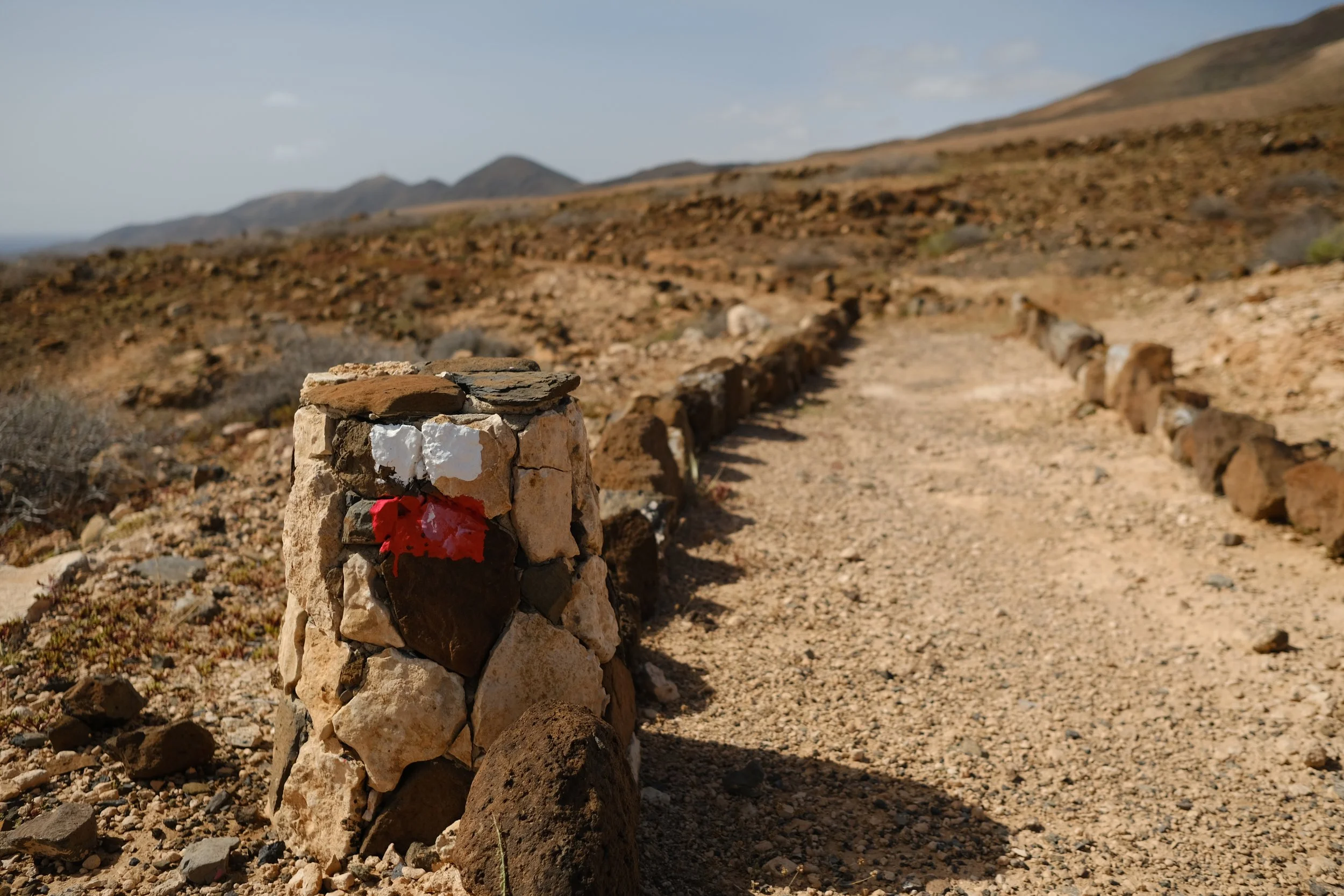
The GR131 on Fuerteventura — locally called Camino Natural de Fuerteventura — is a spectacular long-distance trail that stretches north to south across the island, from the dunes of Corralejo to the rugged headlands of Punta de Jandía. Along its route, hikers experience volcanic craters, lava fields, desert plains, windswept ridges, and wide Atlantic beaches. In total the Fuerteventura section is approximately 150 to 164 km of trail, typically completed in around 6 to 9 depending on pace and daily distances.
ACTIVITY OVERVIEW
📏 Distance
134km/83mi
⏱️ Duration
6 days
⛰️ Highest point
690m/2,263ft
📈 Elevation
2,620m/8,596ft
🗓 Best Season
October – April
ESTIMATED COSTS
🚌 Transfers
~30 EUR
⛺ Pitches
~0 EUR
🍦 Food
~20-30 EUR per day

What to Expect
on the GR131 on
Fuerteventura
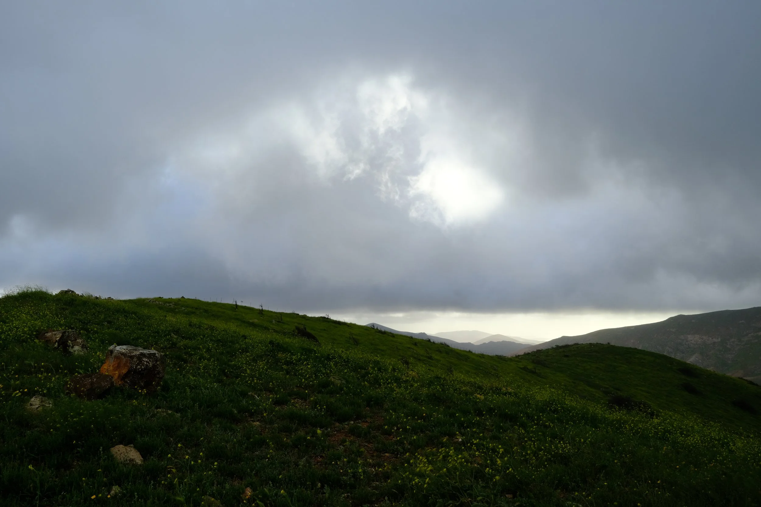
The GR131 on Fuerteventura promises wide-open terrain, volcanic geology and long distances between shade. But do keep in mind that this is not a lush trail, but it’s still deeply atmospheric, especially at sunrise and sunset.
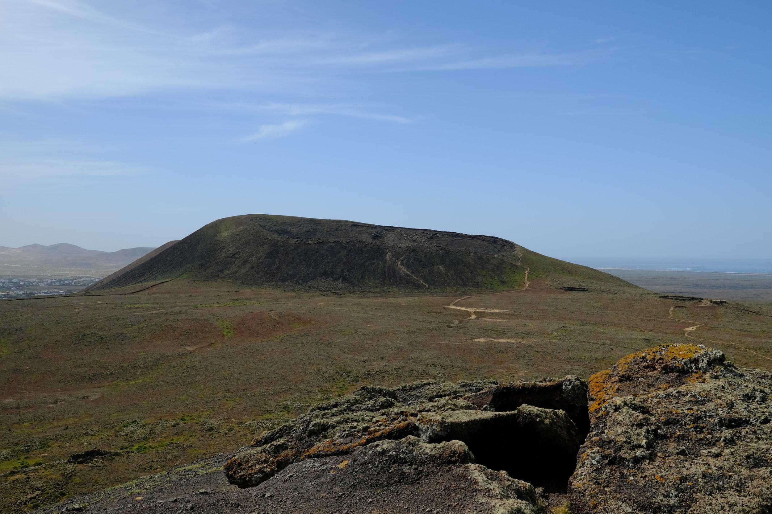
🌋 Calderón Hondo and Northern Volcanic Cones
Well-preserved volcanic craters provide an immediate introduction to the island’s geology, with black lava, red scoria, and expansive northern views.
🌋 Dunes and Lava Fields near Corralejo
Pale sand dunes contrast sharply with dark lava flows, showcasing the unique overlap of desert and volcanic landscapes near the coast.
⛰️ Views of Sacred Mount Tindaya
Rising alone from the plains, Tindaya is spiritually significant and visible across multiple stages, acting as a constant landmark through the north and centre of the island.
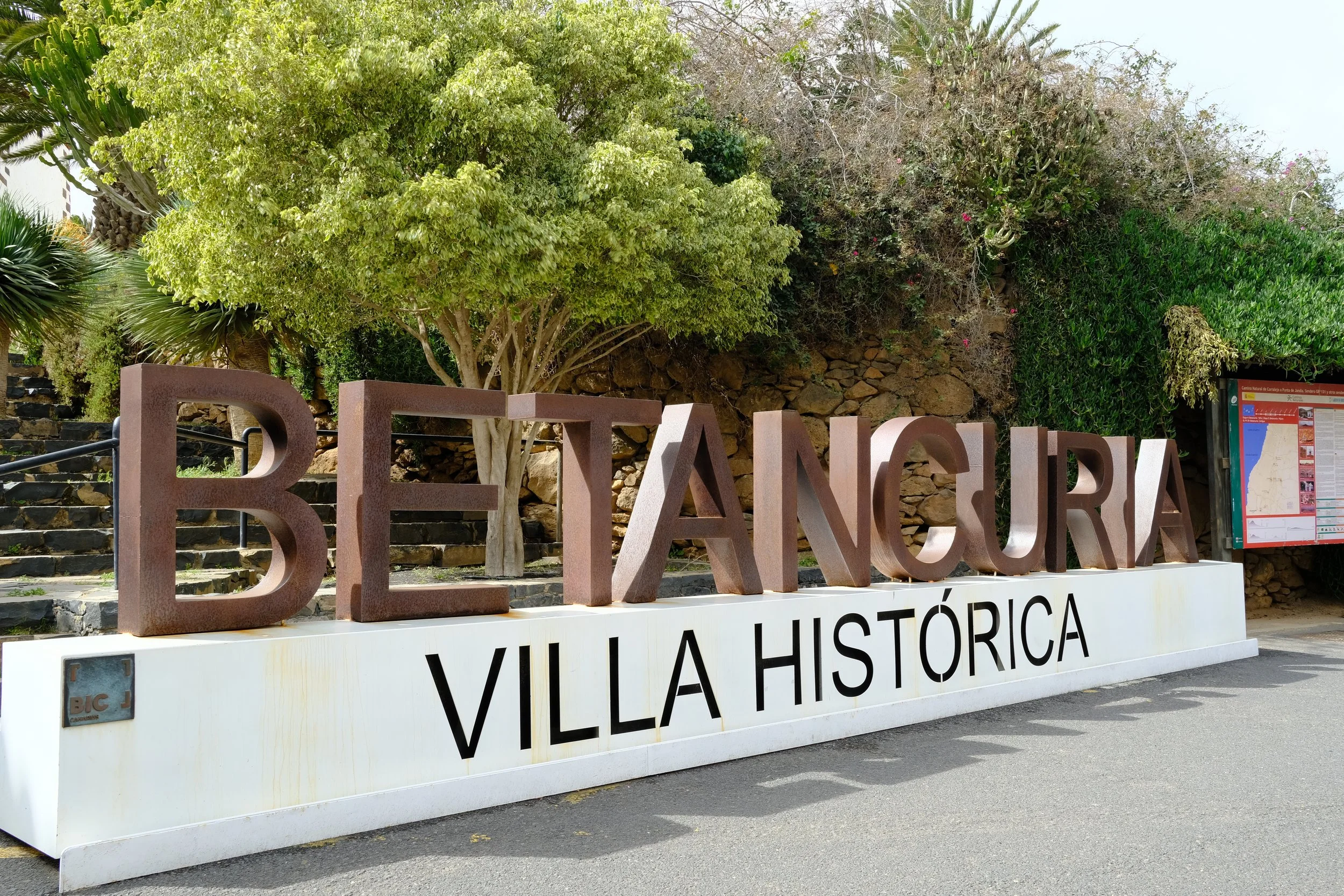
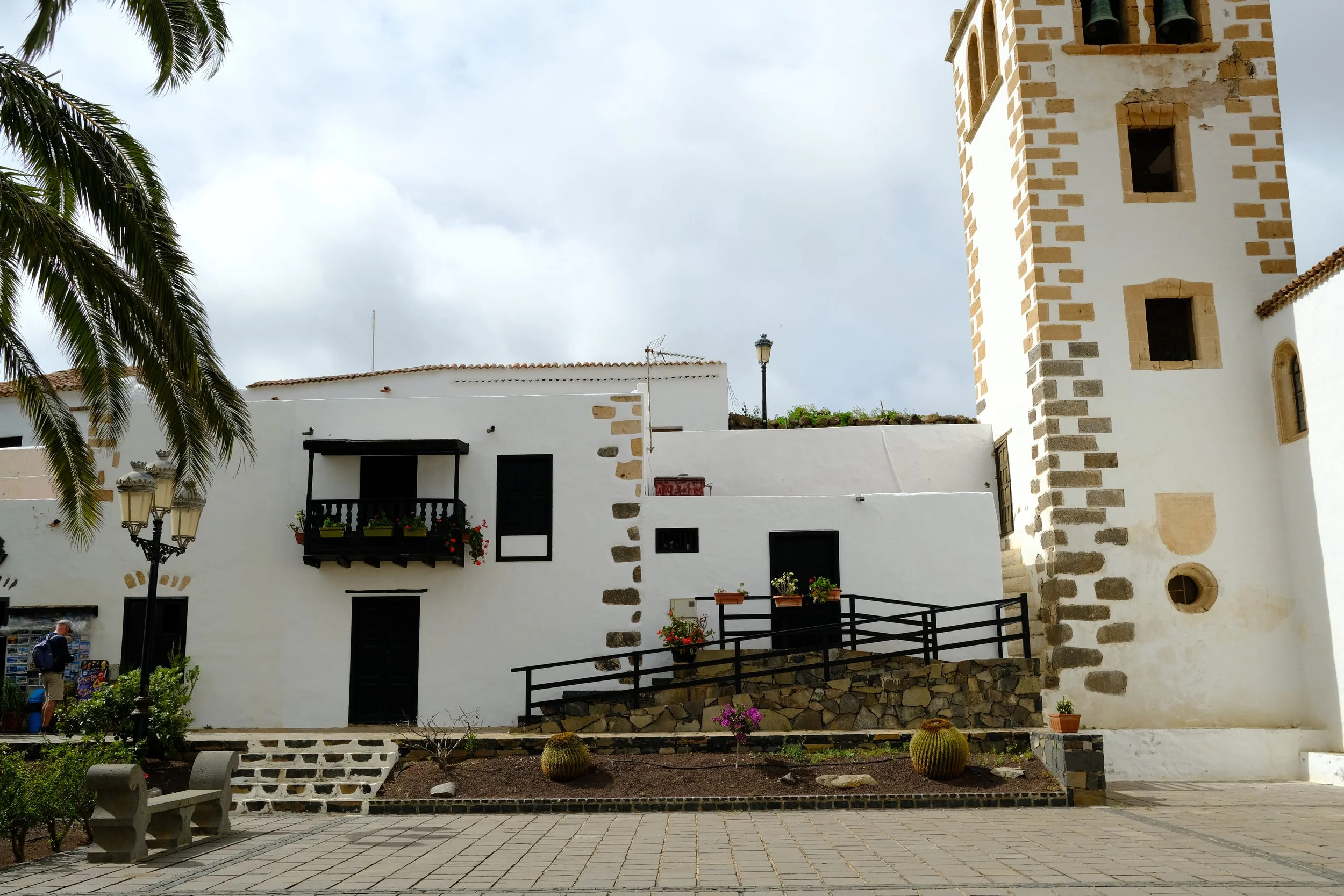
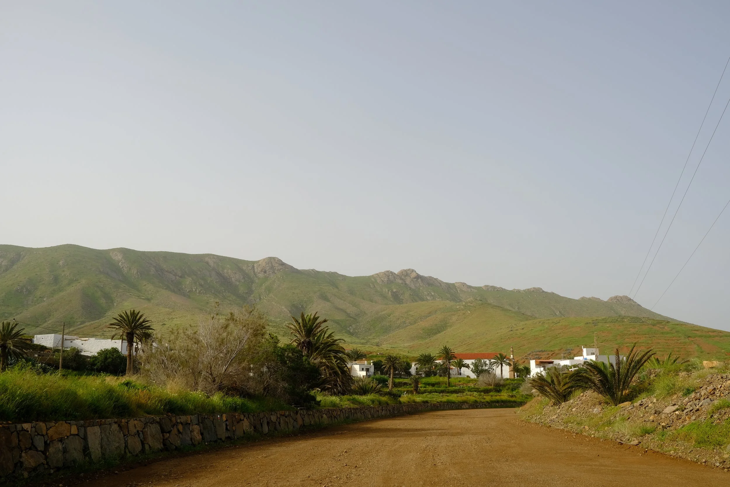
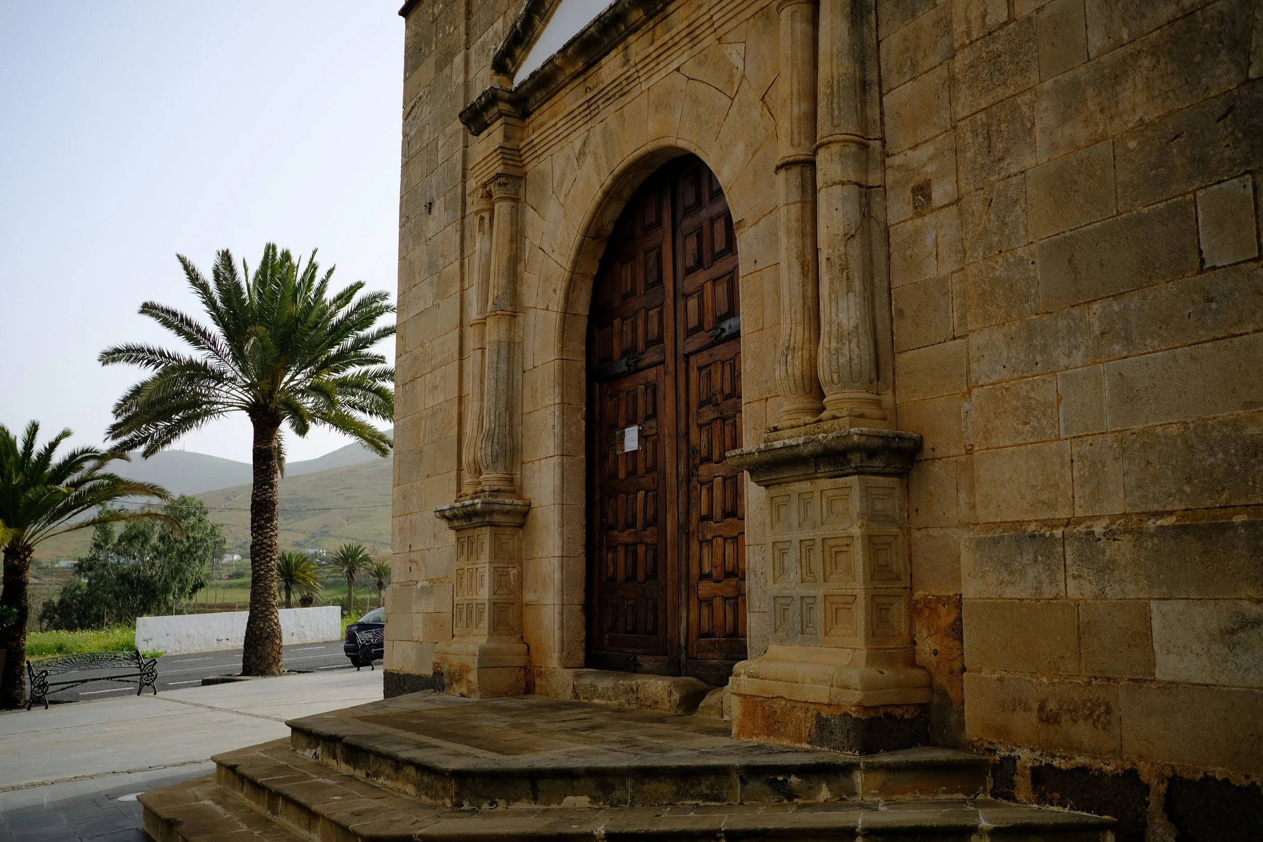
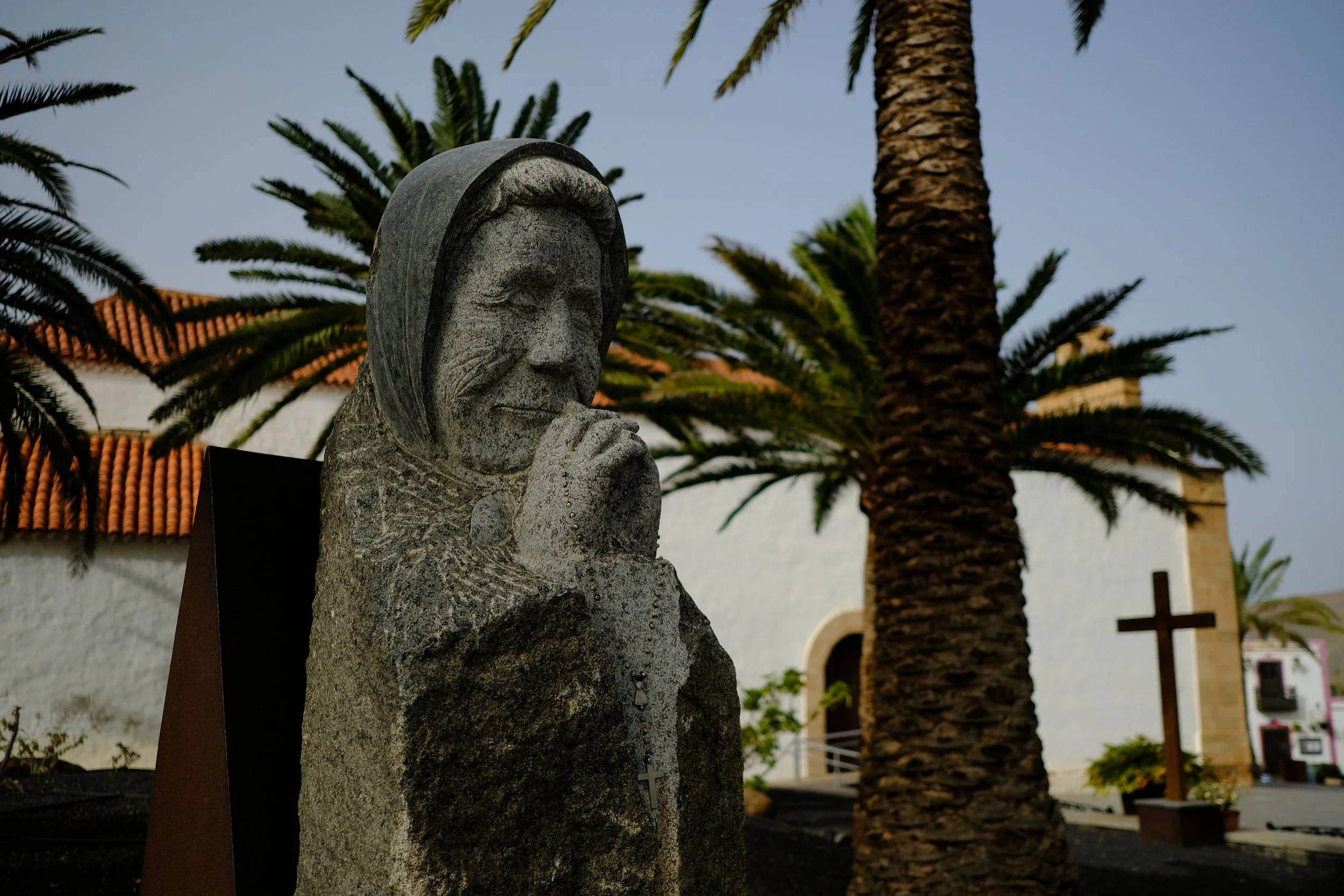
🏛️ Betancuria – Historic Island Capital
Set in a sheltered valley, Betancuria offers palm trees, stone buildings, and a rare sense of greenery — a welcome contrast to the surrounding arid terrain.
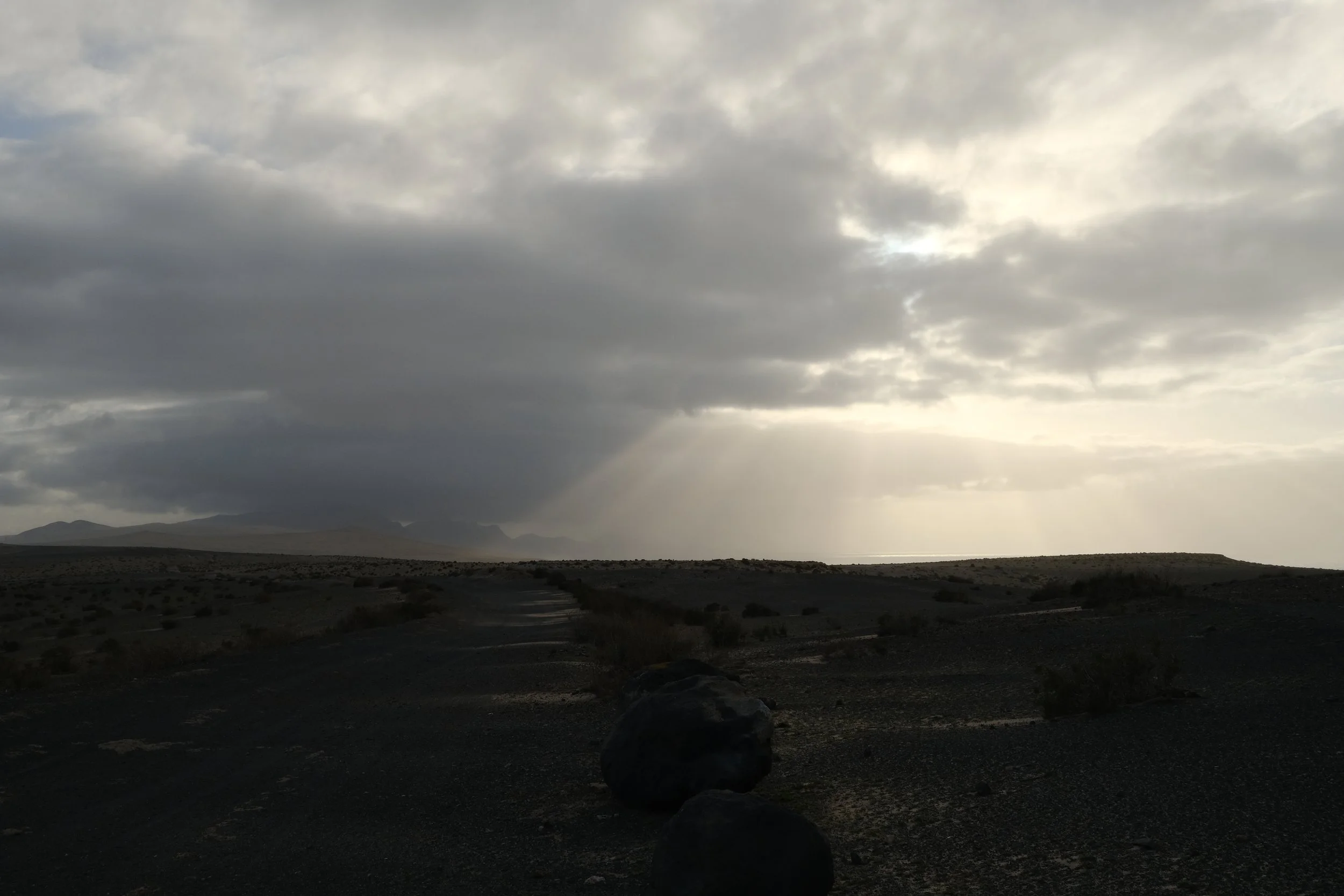
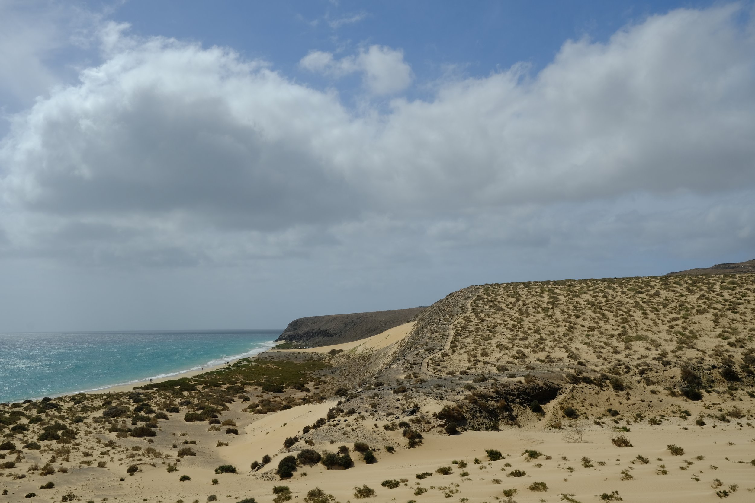
🌊 West Coast Approaches near La Pared
Stronger winds, cliffs, and distant surf signal a shift to a more rugged coastal landscape, especially striking in late afternoon light.
🌵 El Jable near La Pared
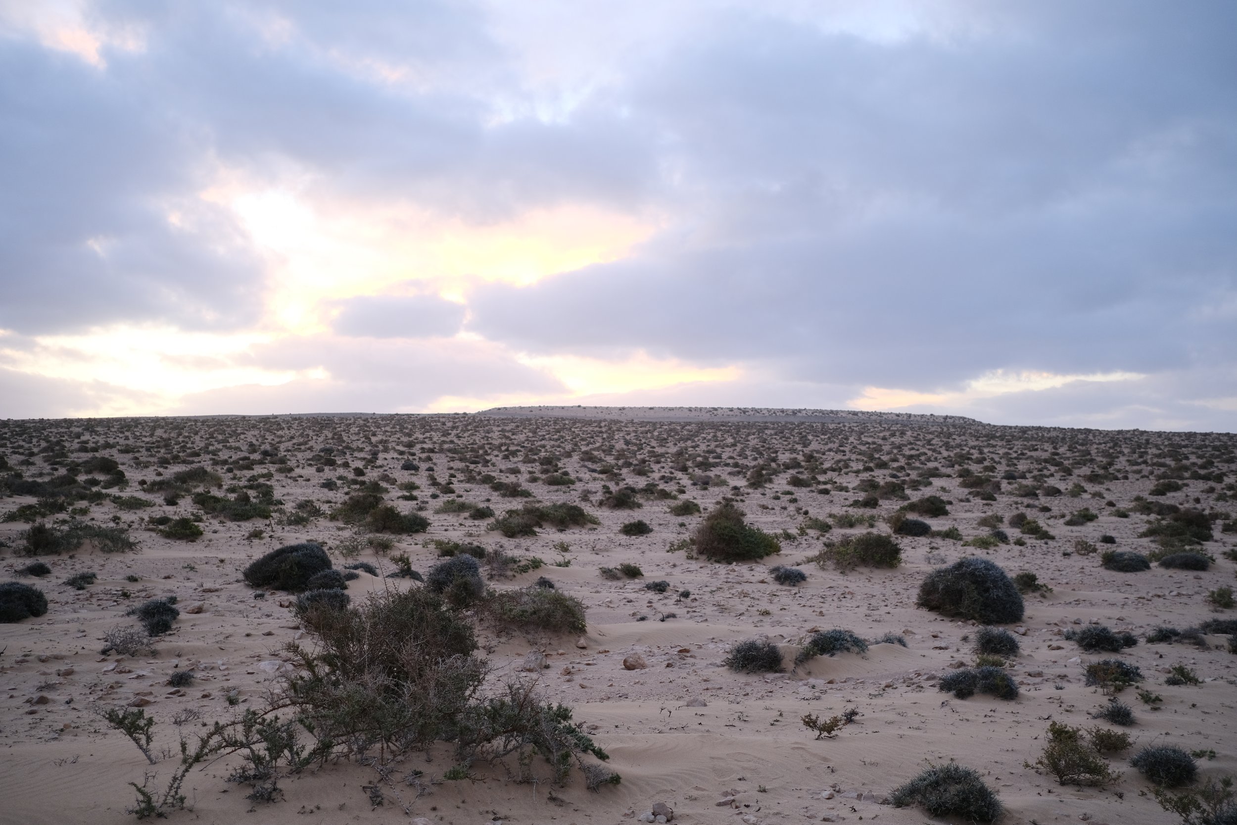
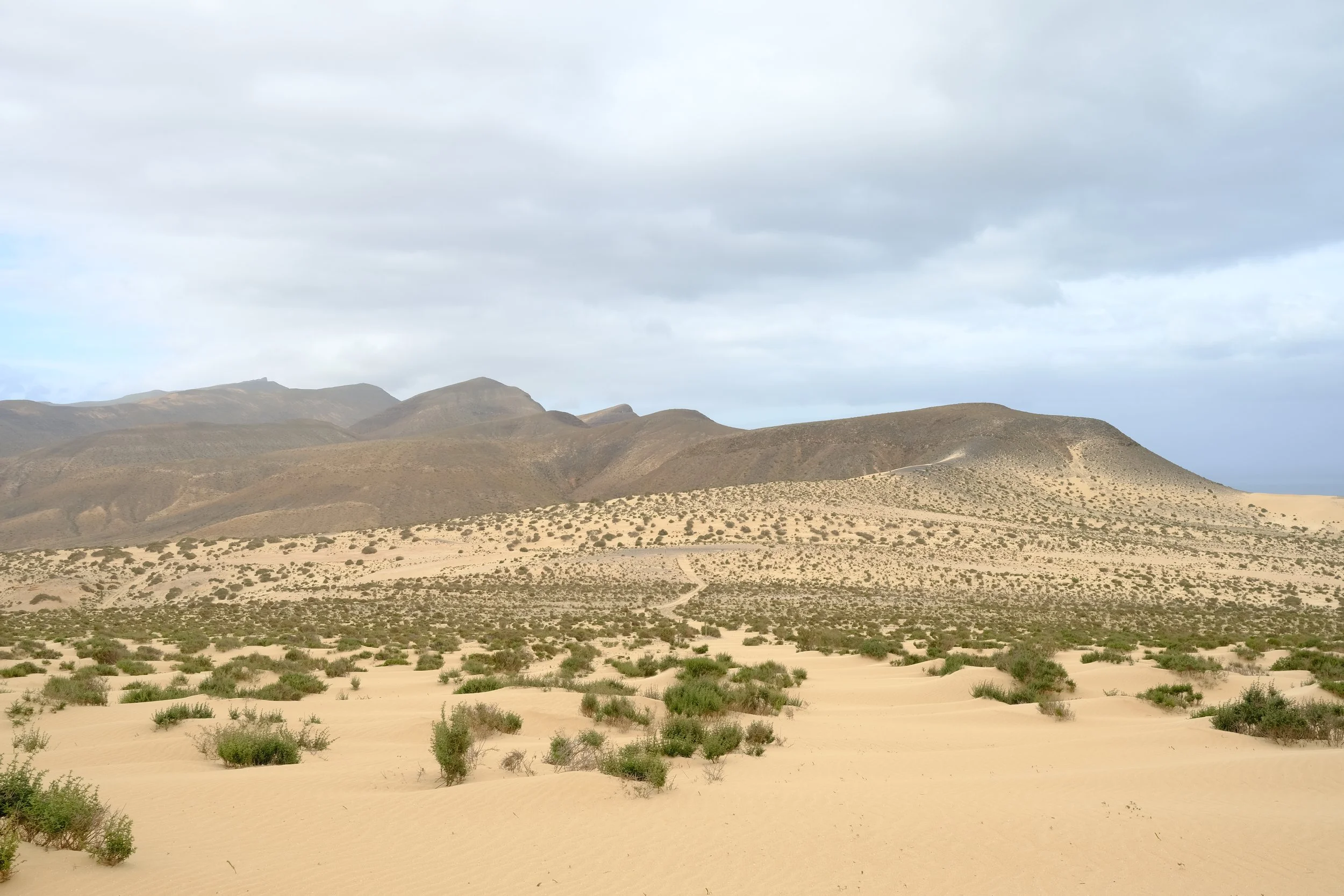
Avast, sandy desert-like plain stretching across the heart of southern Fuerteventura. Its rolling dunes, sparse vegetation, and wide-open spaces give hikers a true sense of isolation and the island’s wild, windswept beauty.
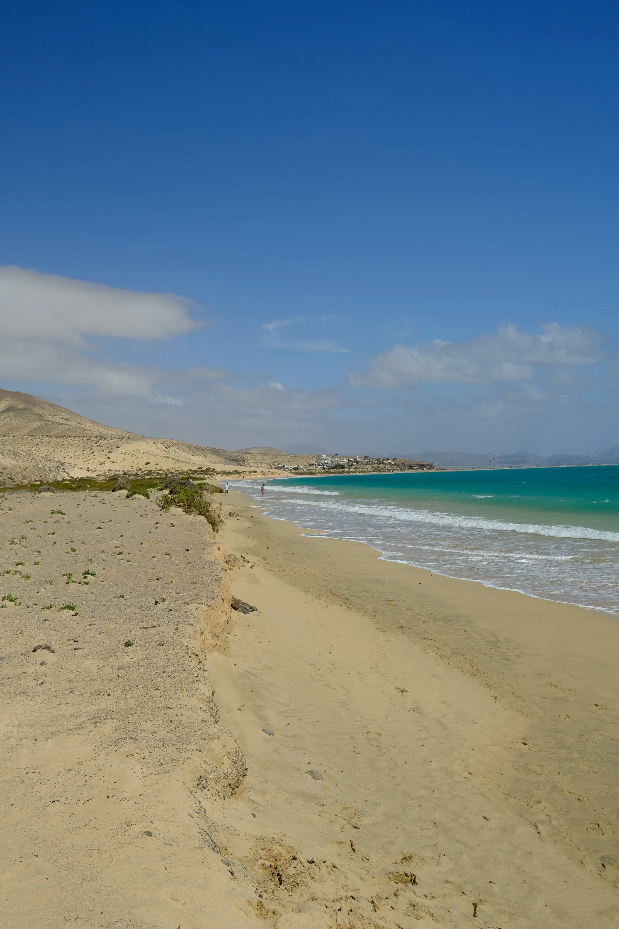
🏝️ The Beach Walk into Morro Jable
A long coastal approach offers one of the most satisfying finishes of the hike, as the town gradually comes into view along the shoreline.
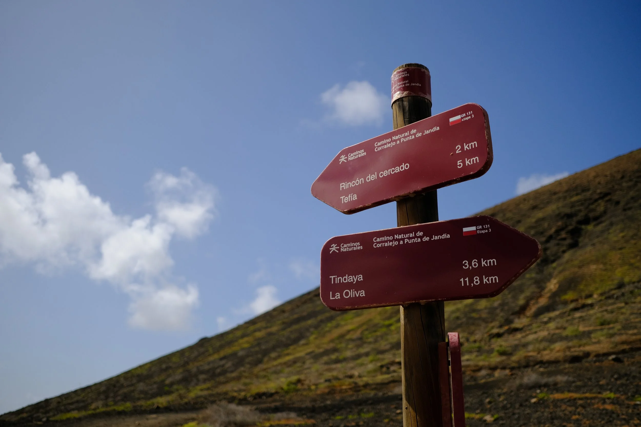
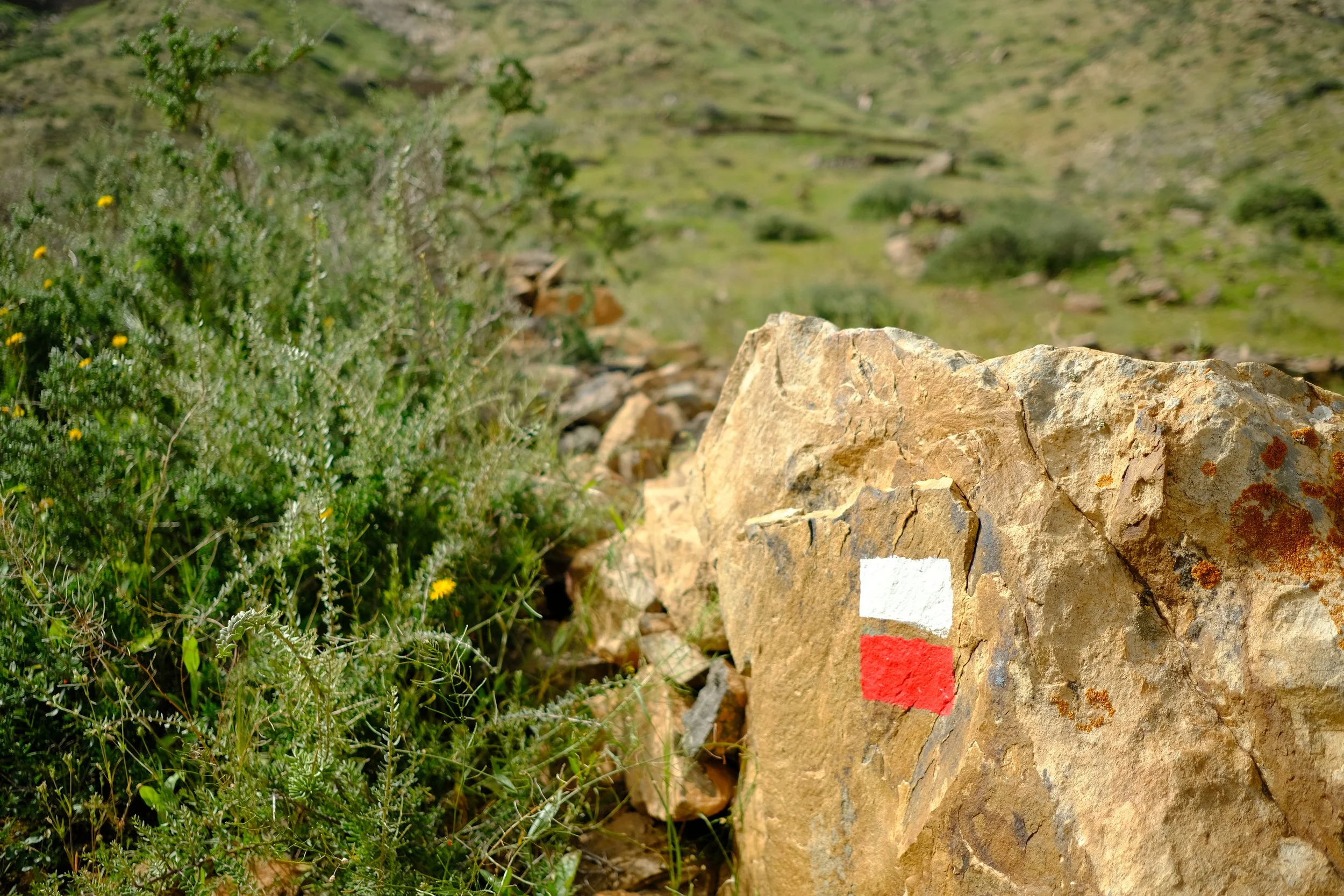
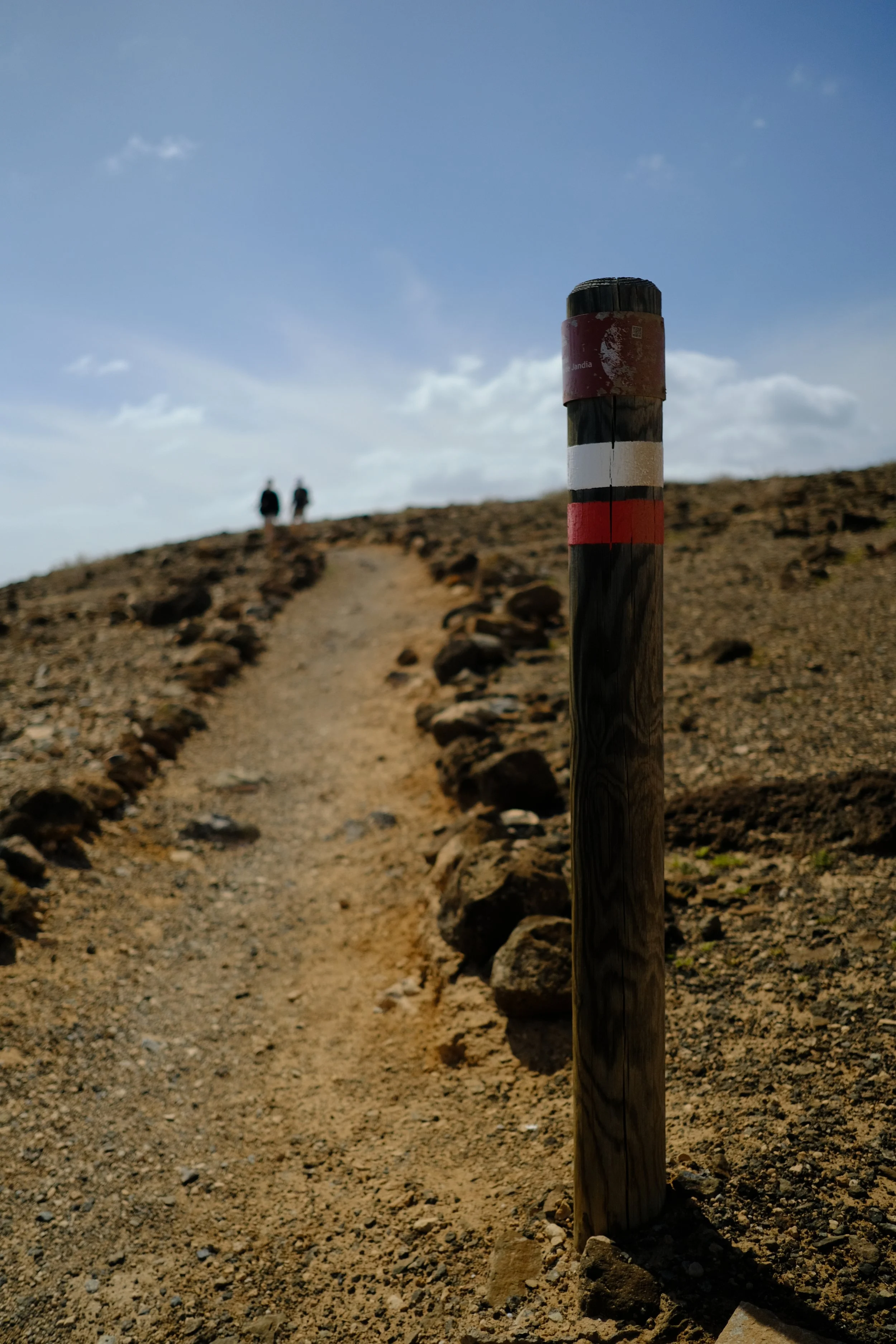
🗺️ Trail Map & Navigation
Full route overview with key waypoints and navigation information.
⚠️ The maps provided on this website are intended as a general guide only. Conditions, routes, and features may change at any time. Always rely on your own judgement and seek local or professional advice if possible.
🧭 Navigation Tips
Download offline maps before you go — cell signal can be unreliable.
Note water locations and emergency shelter options for each stage.
Check weather and trail conditions the evening before each stage.
Day-by-Day Breakdown
Everything you need to know for each stage
Preparation in
Corralejo
0
Getting to Fuerteventura
✈️ Fly
Fuerteventura has one major airport and is a respectable 4 to 4.5 hour flight from London.
€60-€150
Transport to Corralejo
🚌 Airport Transfer
Prebook Airport transfer is great combination of value and convenience as it provides a direct service to town. Popular operators include shuttle spain transfers, canary shuttle or hoppa. Please cater up to 2 hours for this option as the transfers needs to make a stop for each passenger.
~€10-€15 · 1-2 hours
🚎 Public Buses
The public buses operated by Tiadhe are the most economical but does take more time as there are not direct services. You will need to catch line Line #3 to capital, Puerto del Rosario, and then change to catch Line #6 to Corralejo. Tickets can be purchased directly on the bus.
€4-€5 · 1.5-2 hours
🚕 Taxis
Taxis are always an option for privacy and convenience but does come at a cost. A one way trip will set you back between 60 to 90 EUR depending on time of day and number of bags.
€60-€90 · 40 min
🚕 Ride Sharing
🚫 Ride sharing services such as Uber and Bolt are not available in Fuerteventura.
Where to Stay
🏨 Hotels and Hostels
There are plenty of hotels and hostels which can be booked by all the popular online travel agent sites such as Booking.com, Expedia and Airbnb.
Hostels / guesthouses: 30 to 60 EUR
Budget hotels: 60 to 90 EUR
€30-€90
🏕️ Campsites
🚫 Sadly, there are no campsites available
Stocking Up on Supplies
Gas can be bought from local hardware stores known as ferretería. You might have to check a few as stock is limited.
€5-€10
⚠️ I couldn’t find any screw threaded camping gas. I could only find the Campingaz brand but it uses a proprietary connector instead the usual screw thread.
A popular Spanish supermarket chain known for its affordable prices and wide product range. Largest supermarket but it is a fair way out of town. Handy if you’re staying in the southern parts of Corralejo.
A spacious, full-service grocery store offering a wide range of fresh foods and international products. Located near the northern beaches.
Very large supermarket located in the northern part of town and tucked slightly away from the main street.
🚫 There are no outdoors stores in Corralejo.
If you have forgotten something really important, there is a Intersport store at the Centro Comercial Las Rotondas back in the capital Puerto del Rosario. Best way to get there is by the local bus (Line 6 from Corralejo).
Things to Do
🏄♀️ Water Sports
The consistent winds and clear waters make Corralejo a mecca for water sports. You can book lessons and rent equipment for surfing, windsurfing, kitesurfing, scuba diving, and jet-skiing from various local schools and centres.
🛍️ Shopping
The main street has many surf shops and general stores, or visit shopping centers like Centro Comercial Las Palmeras and Villa Comercial El Campanario.
🚶 Wander Old Town
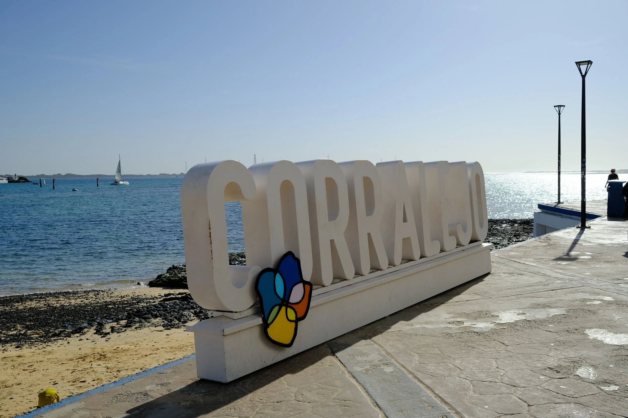
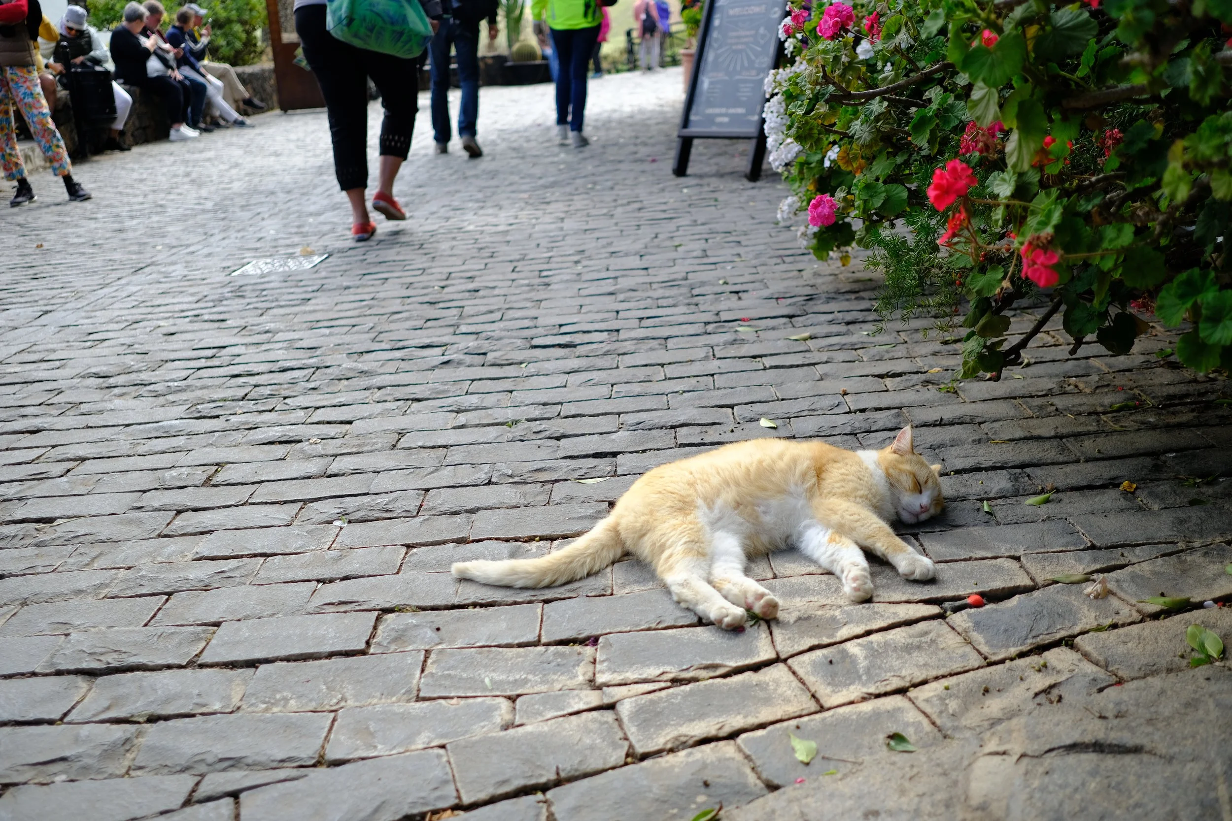
Corralejo’s old town has colorful streets, oceanfront cafés, small plazas, and live music at night.
Corralejo to
La Oliva
1
6hr · 19km · 430m ascent
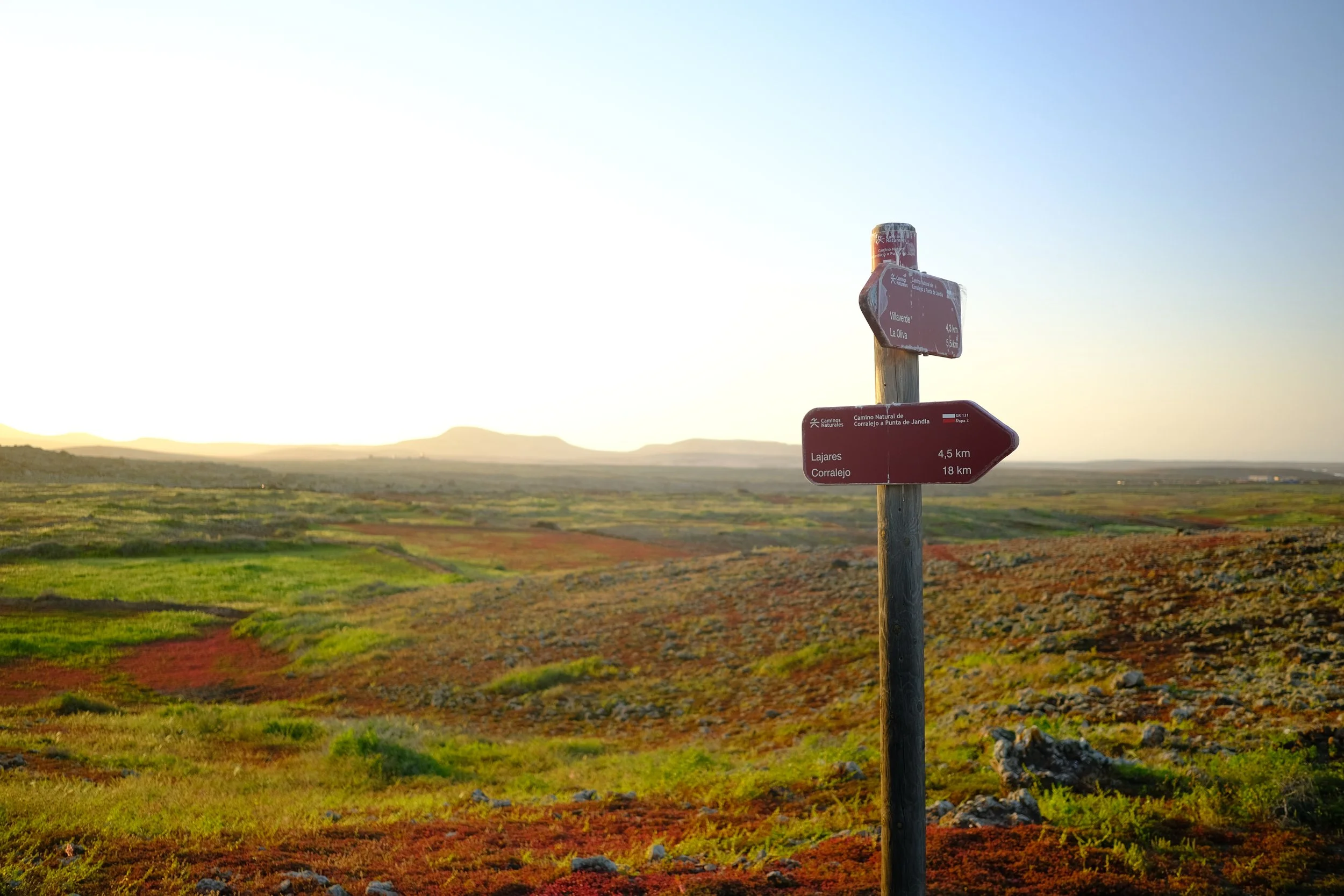
The stage from Corralejo to La Oliva is a gentle, scenic warm-up crossing open volcanic landscapes with constant views of Lanzarote behind you. It’s an easy, relaxed introduction to the GR131, ending in the quiet, traditional village of La Oliva.
Top Tips
Start early to beat the heat and bring lots of water.
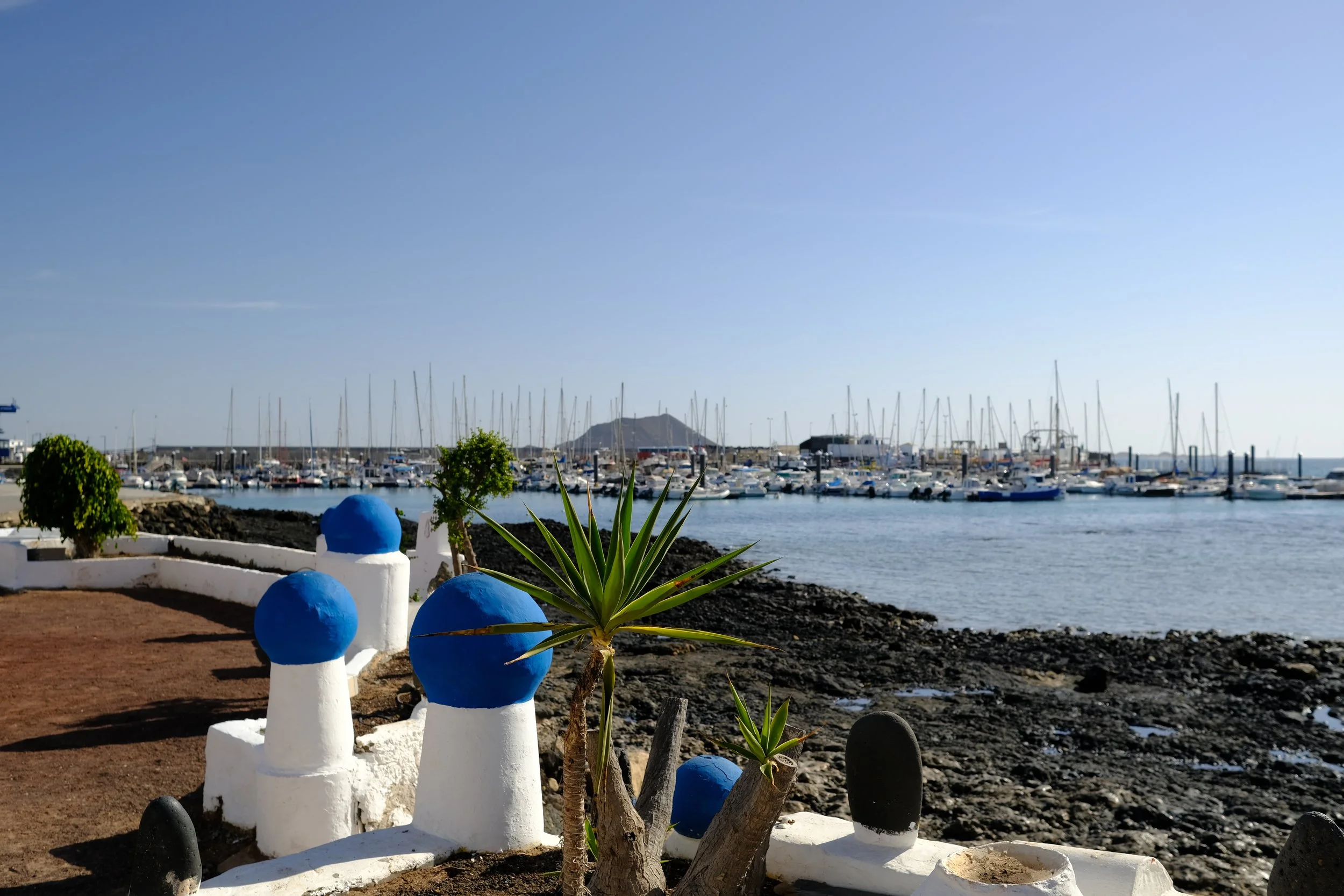
Enjoy walking around the marina area in the morning and take in the amazing views of Isla de Lobos.
Take you time to explore the stunning Calderón Hondo and say hello to the local squirrels.
Resupply on bottled water at the local supermarket in Lajares.
Food Options
☕ Solyvibes Italian cafè & bakery
A small, Italian inspired local café offering tostadas, pastries and great coffee at a excellent price.
€1-€10
A cosy local bakery known for fresh pastries, good coffee, and simple breakfast plates at great prices. Located on the main shopping street.
€1-€10
🍽️ ALMA BRUNCH
A bright, modern brunch spot serving smoothie bowls, pancakes, fresh fruit plates, and good vegetarian options. Located right on the main shopping street.
€10-€20
A tiny, budget-friendly eatery specialising in fresh handmade empanadas with a mix of classic and creative fillings.
€1-€10
A relaxed café-restaurant offering a mix of Spanish and international comfort food, from salads and sandwiches to daily specials.
€10-€20
Large supermarket with bake goods and bottled water making it a great place for a resupply.
€1-€10
A well-loved local spot serving hearty Canarian dishes, grilled meats, and simple daily menus at very affordable prices.
€10-€20
👩🏻🍳 Self cater
Campsite
🌲 Wildcamp near La Oliva
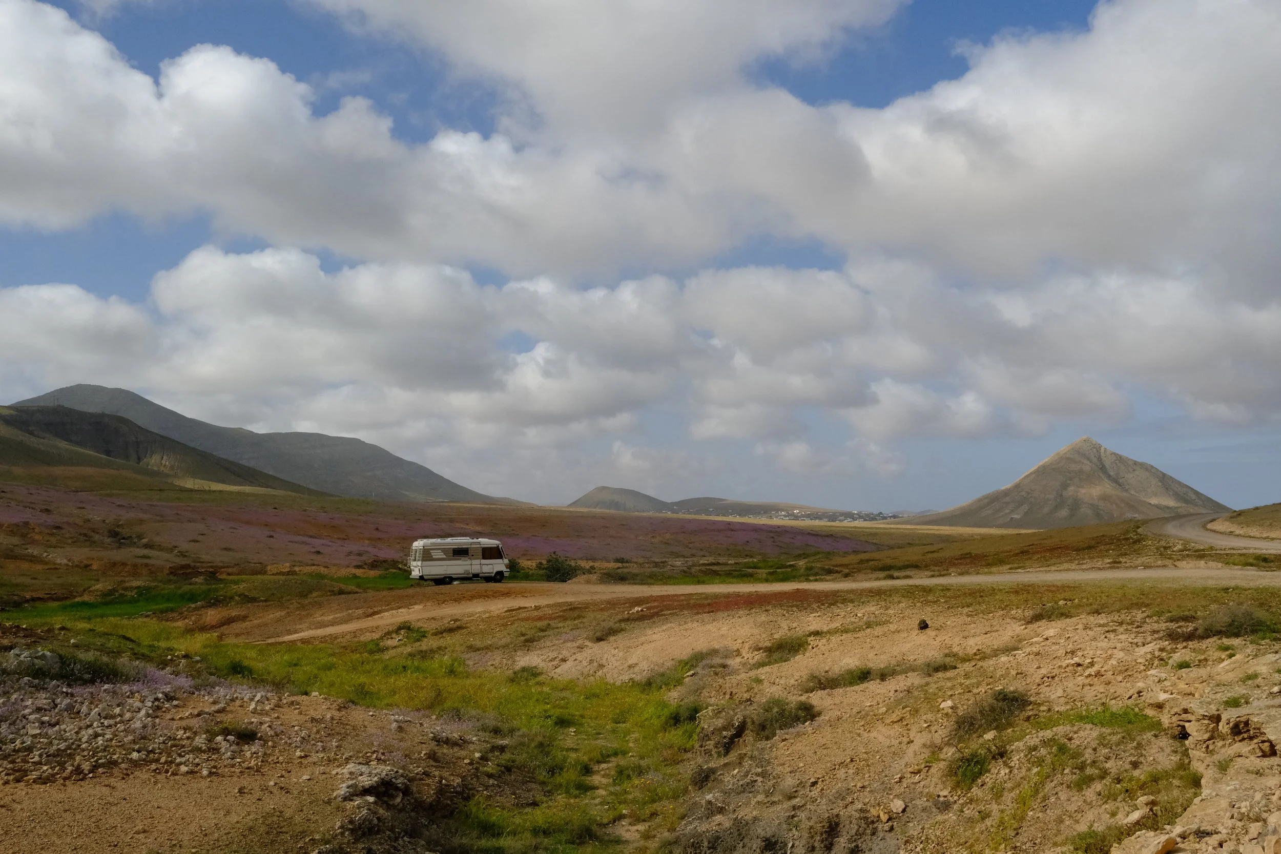
La Oliva to
Tefia
2
6.5hr · 24.8km · 220m ascent
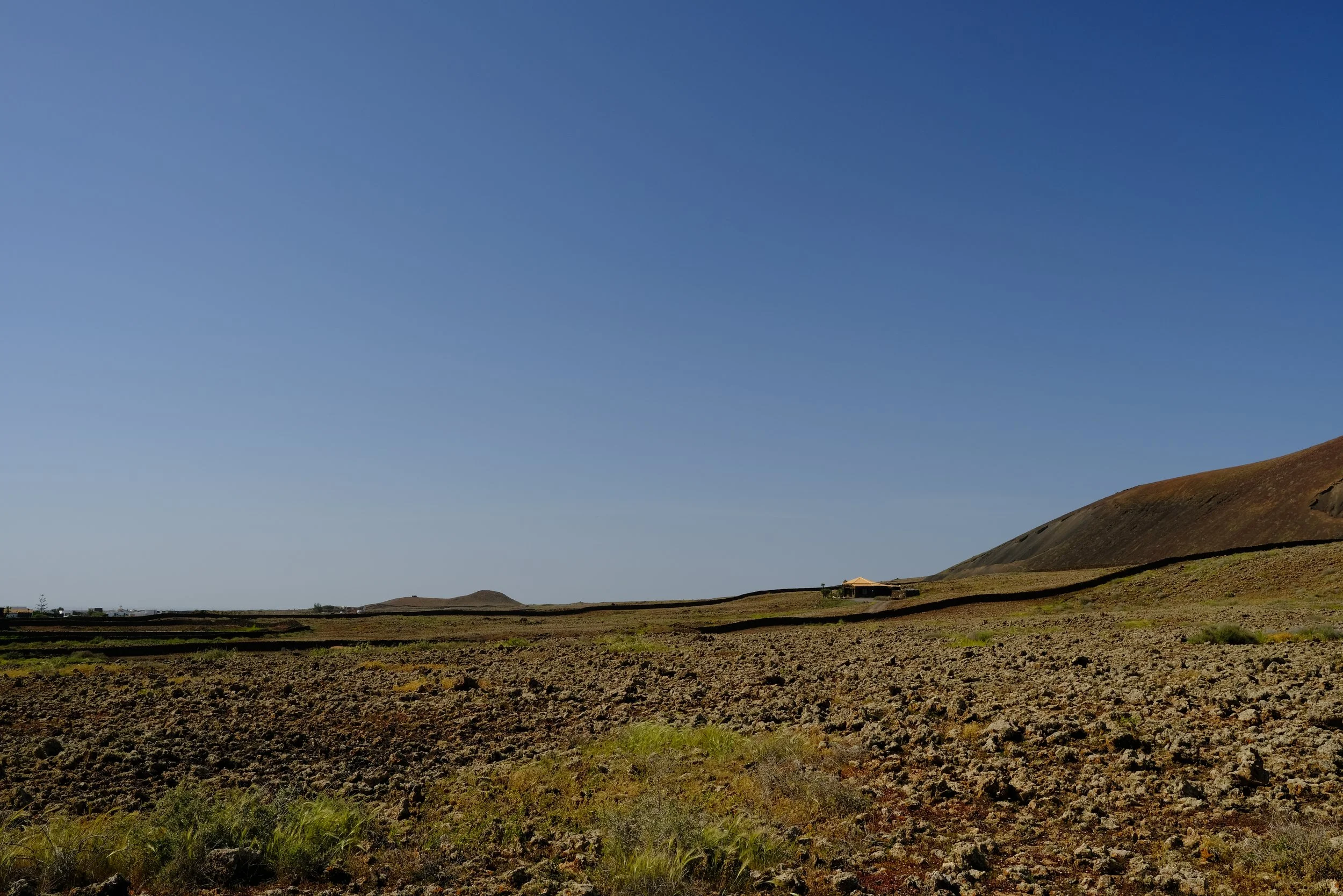
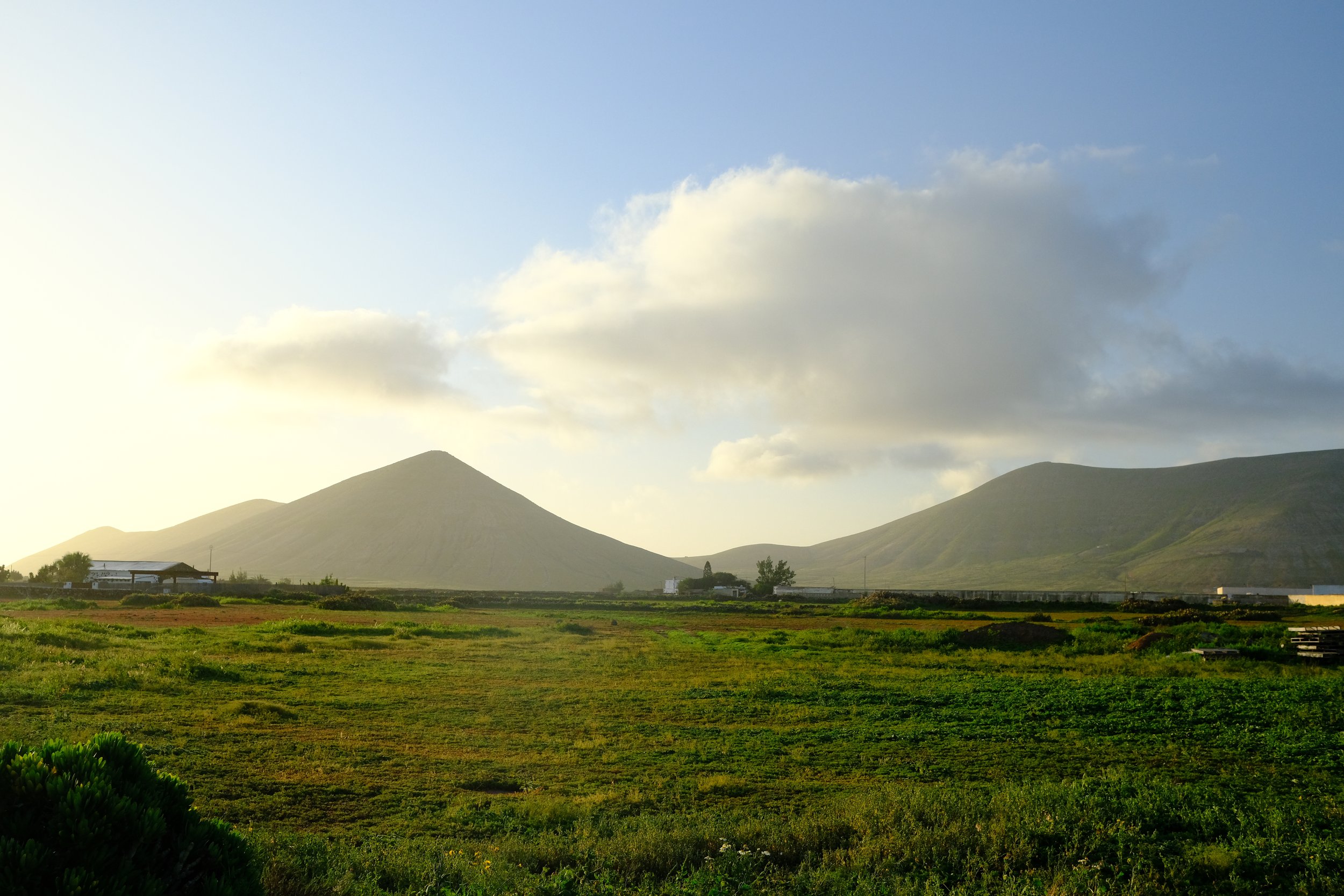
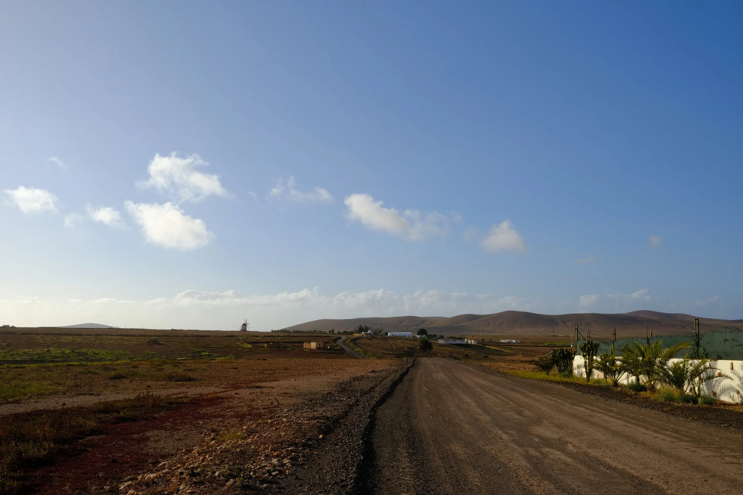
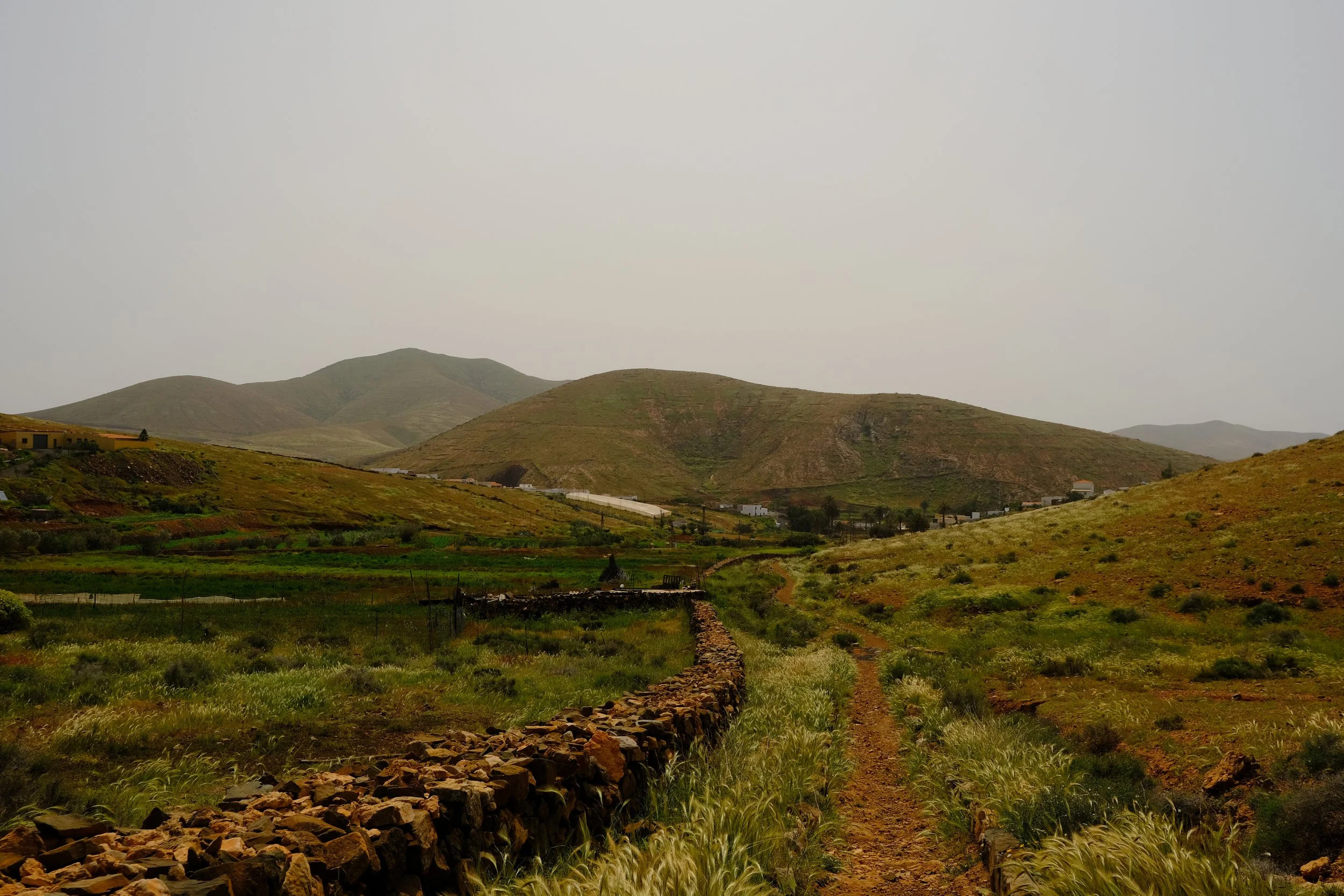
The route from La Oliva to Tefía follows a gentle route across Fuerteventura’s quiet inland plains. With minimal elevation gain, the trail passes old farmsteads and traditional windmills that give the landscape a rustic, timeless feel. The clear highlight of this stage is the approach to Montaña de Tindaya, whose striking silhouette and cultural significance make it one of the island’s most memorable landmarks.
Top Tips
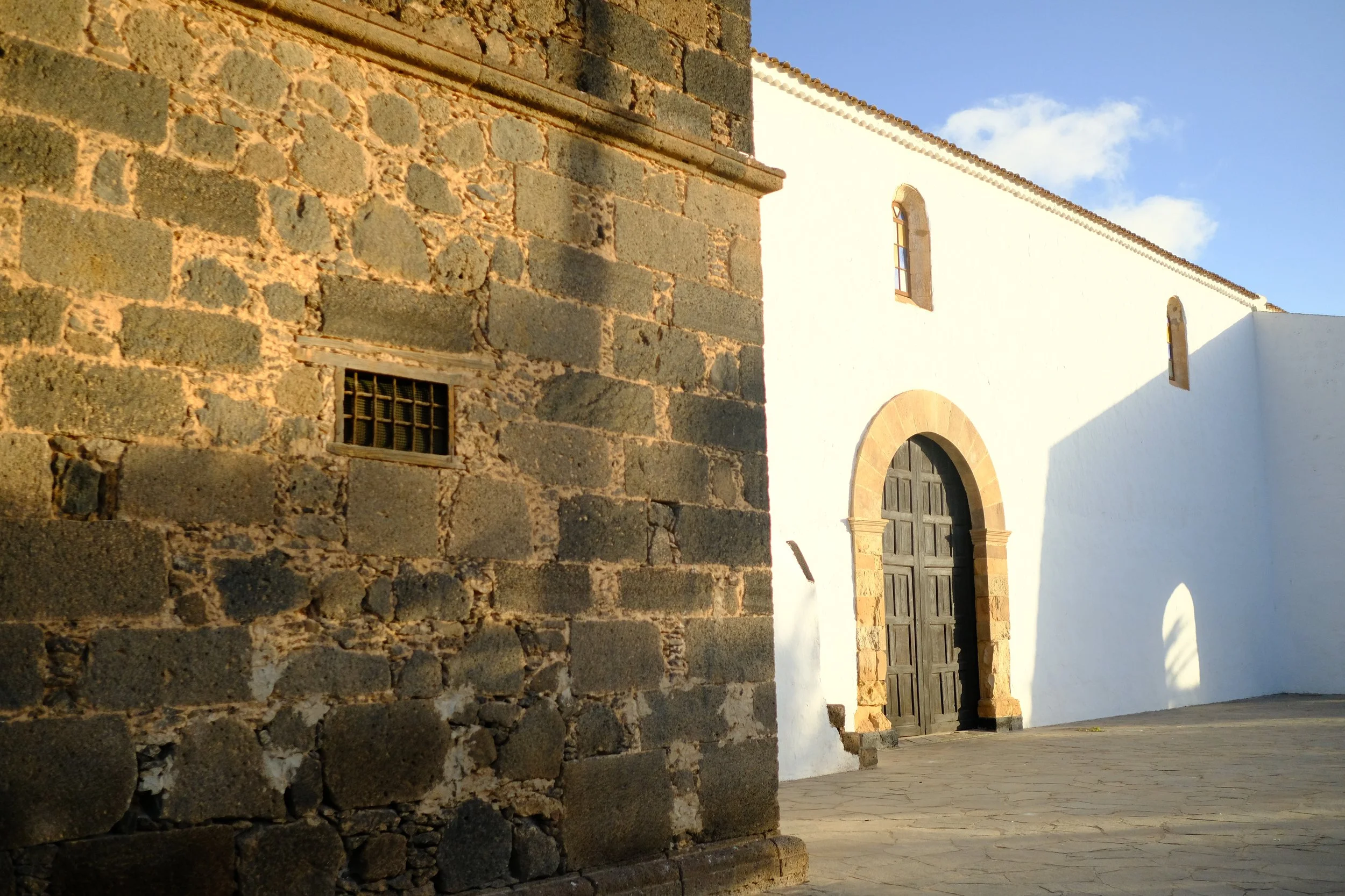
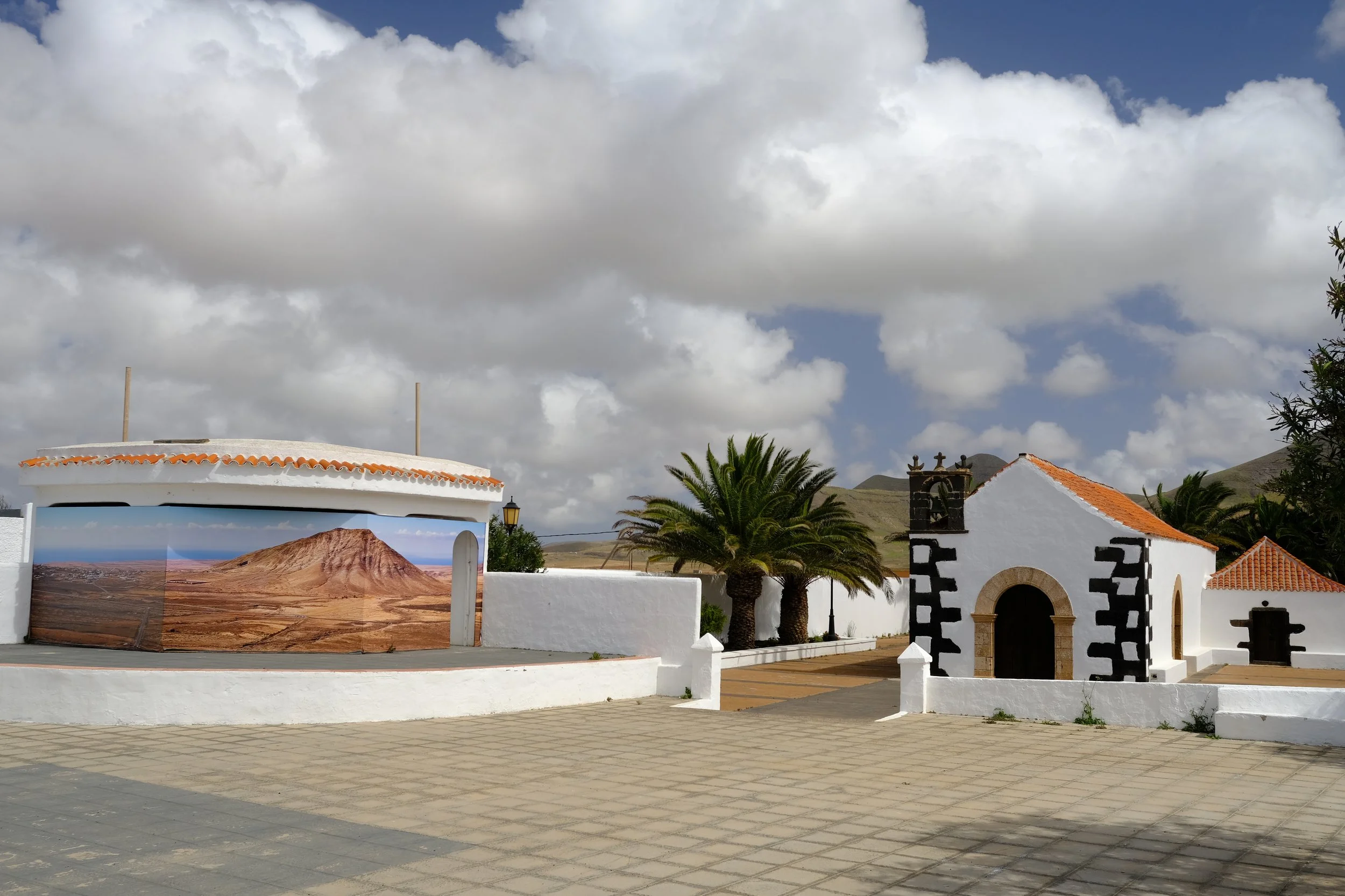
La Oliva is a cute small town and home to one of the largest churches on the island; Nuestra Señora la Candelaria Church.
You can keep water carries to a minimal as water can be bought from minimarkets in both La Oliva and Tindaya.
Although Tefía Cantina Social officially opens at 18:00pm, they were more than accomodating to people arriving a little earlier making it a great place to have a snack before heading out for the night.
Food Options
Conveniently located serving very low‑cost breakfast items, coffee, and simple pastries.
€1-€10
Bakery with fresh bread, pastries, and affordable breakfast buys — great for take‑away sandwiches.
€1-€10
One of the best‑reviewed spots with a strong local reputation for hearty lunch plates. Opens at 13:00pm which might be a little late.
€1-€10
Another local local bar & café serving Spanish lunch staples (sandwiches, simple plates, tapas).
€1-€10
A small, budget‑friendly café in town with coffee, light bites, sandwiches, and simple lunch options. Accepts cash only.
€1-€10
A recently opened, small local tapas bar with a friendly atmosphere and affordable Spanish dishes such as bocadillo and sandwiches. Plenty of facilities and a great place to take a break before the final section of the day.
€1-€10
Campsite
🌲 Wildcamp near Tefía
Tefia to
El Pinar
3
5hr · 16km · 670m ascent
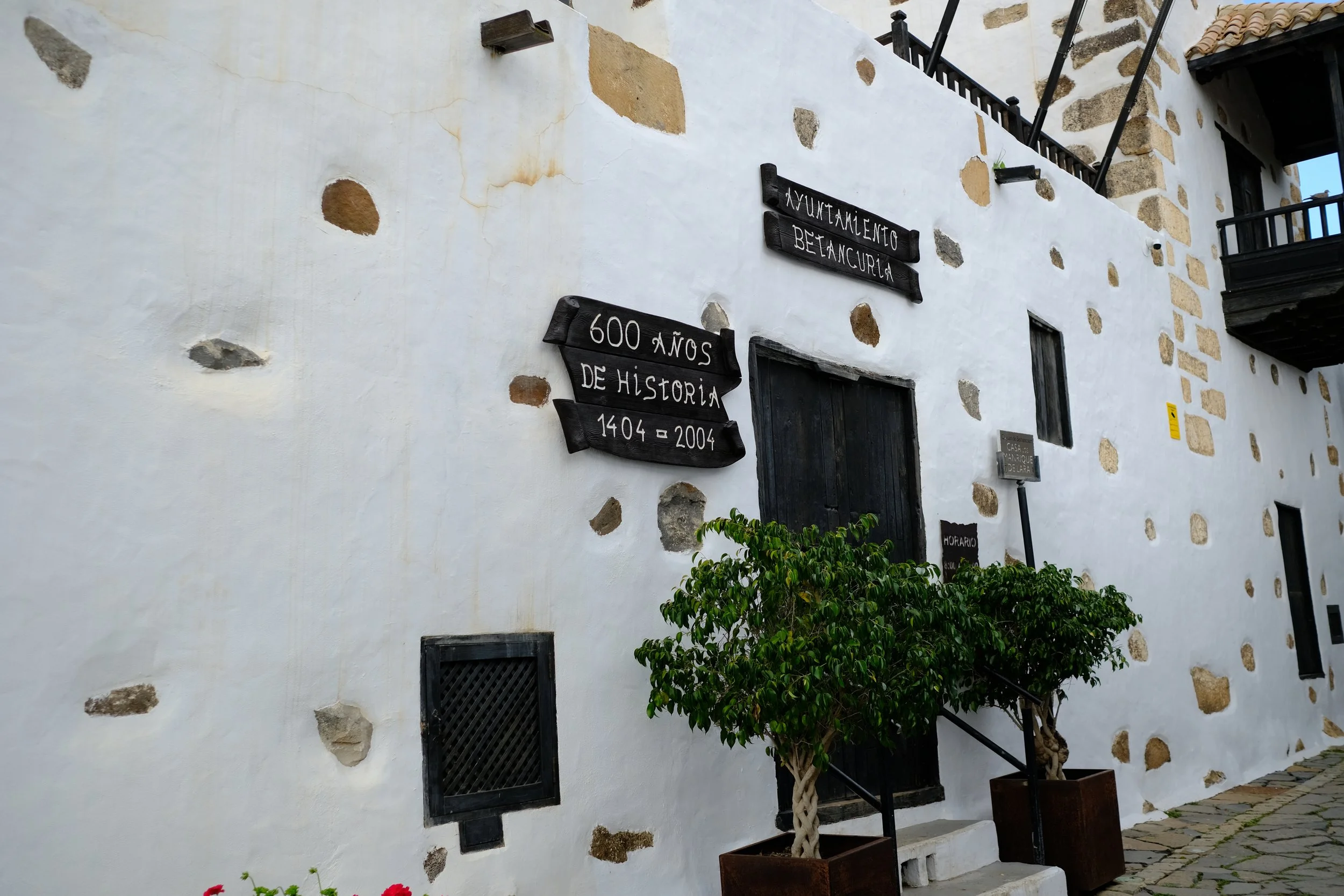
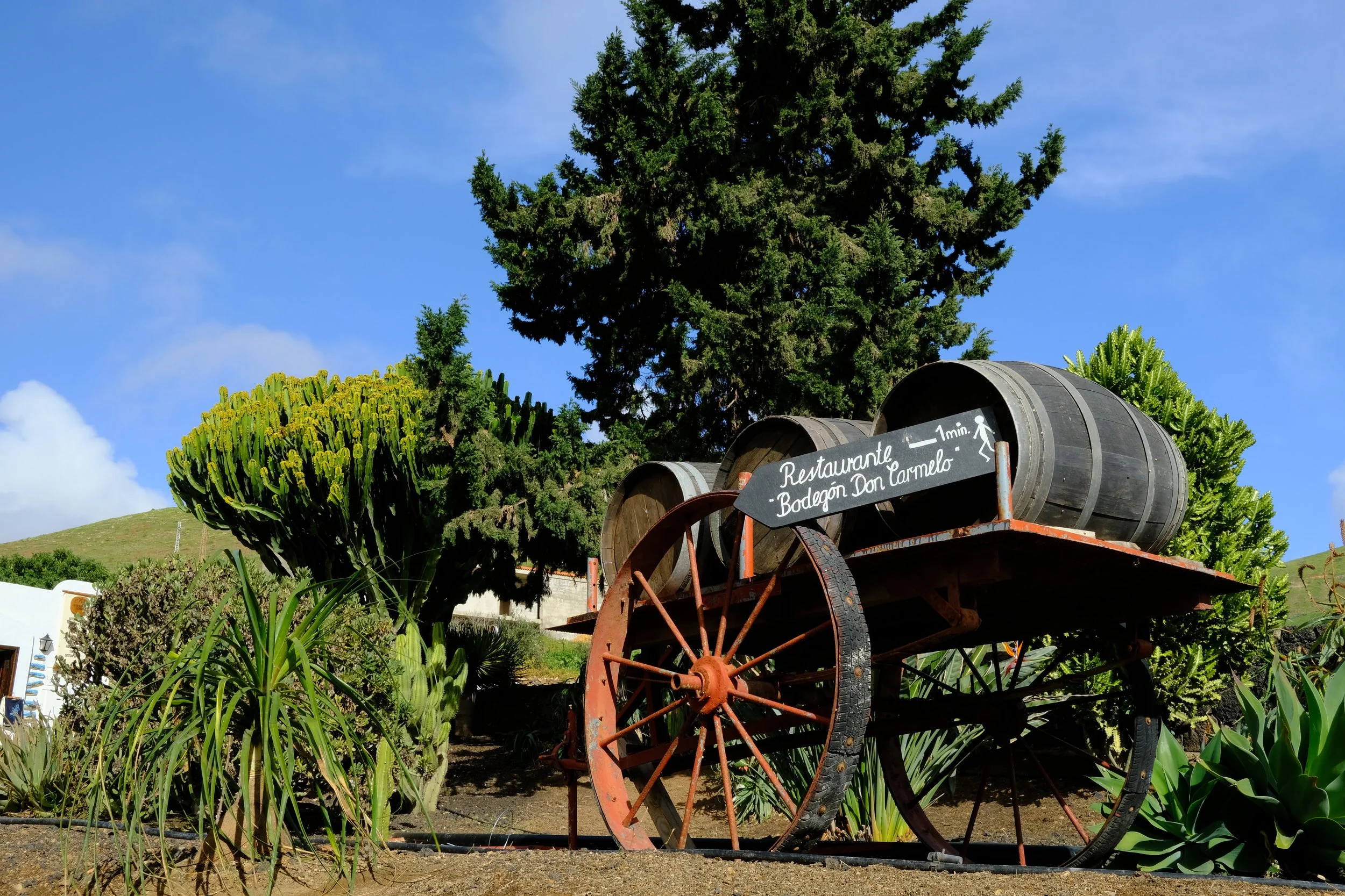
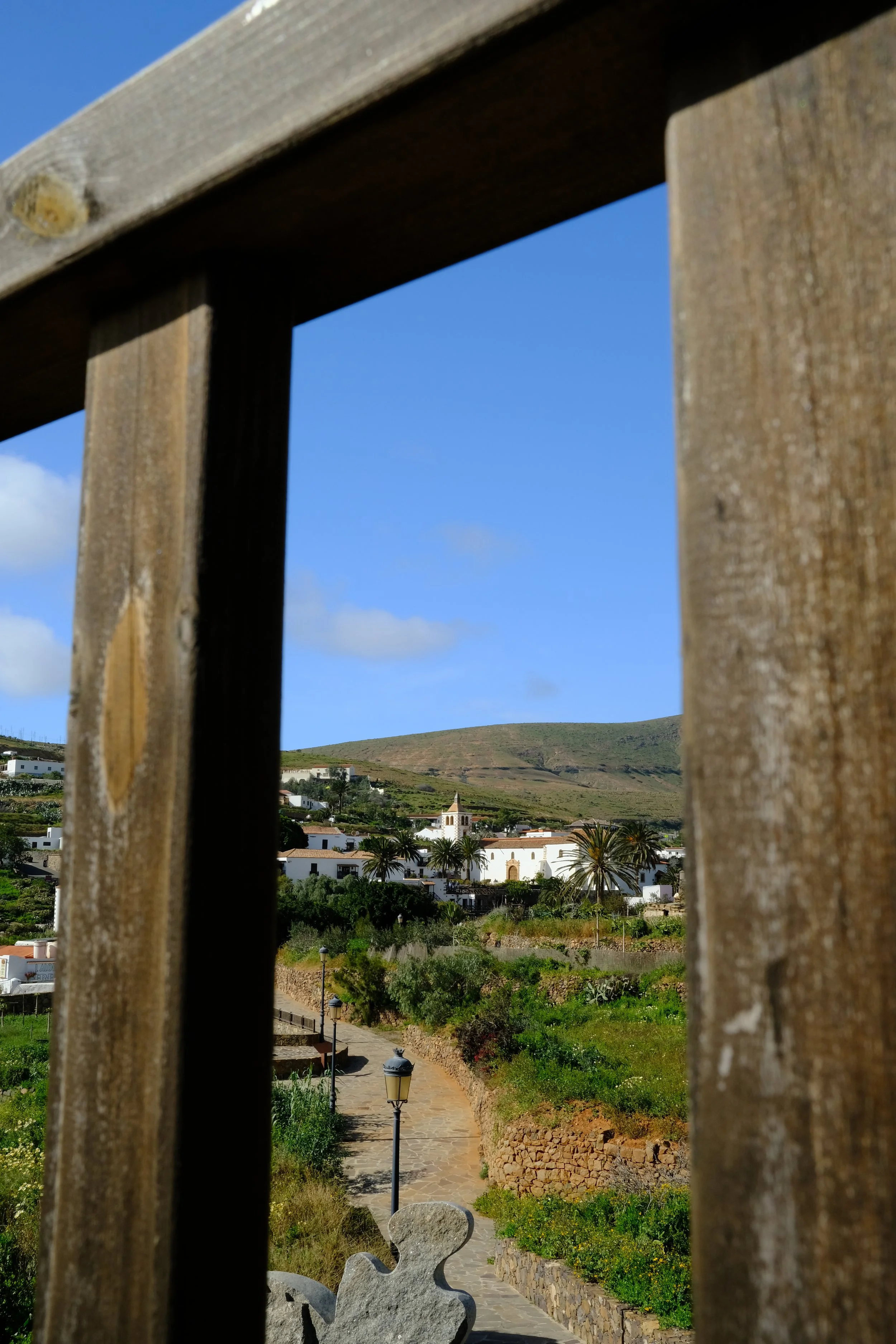
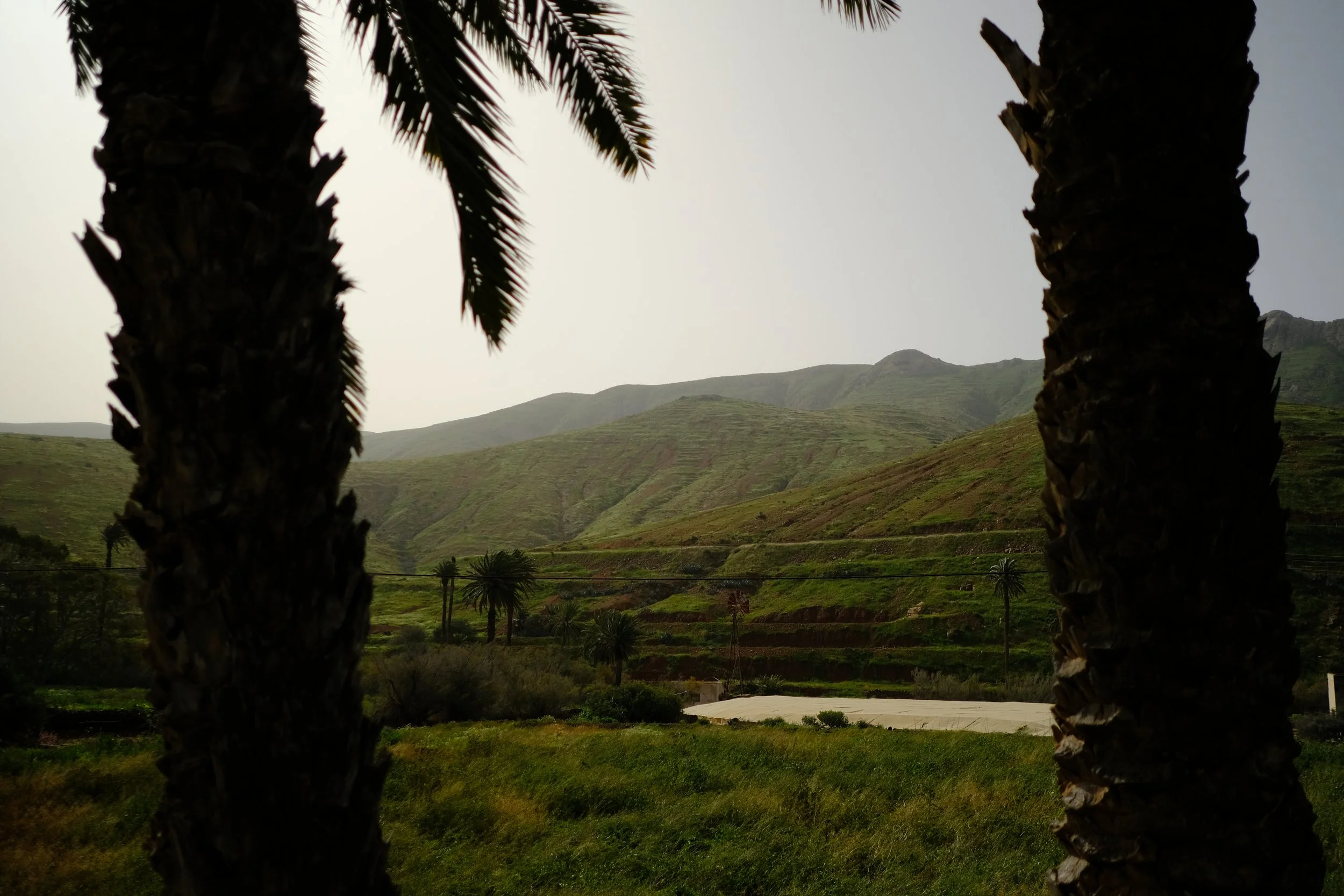
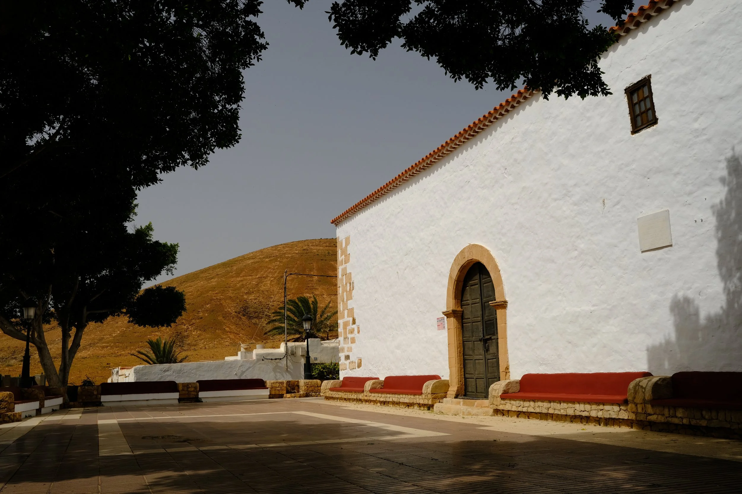
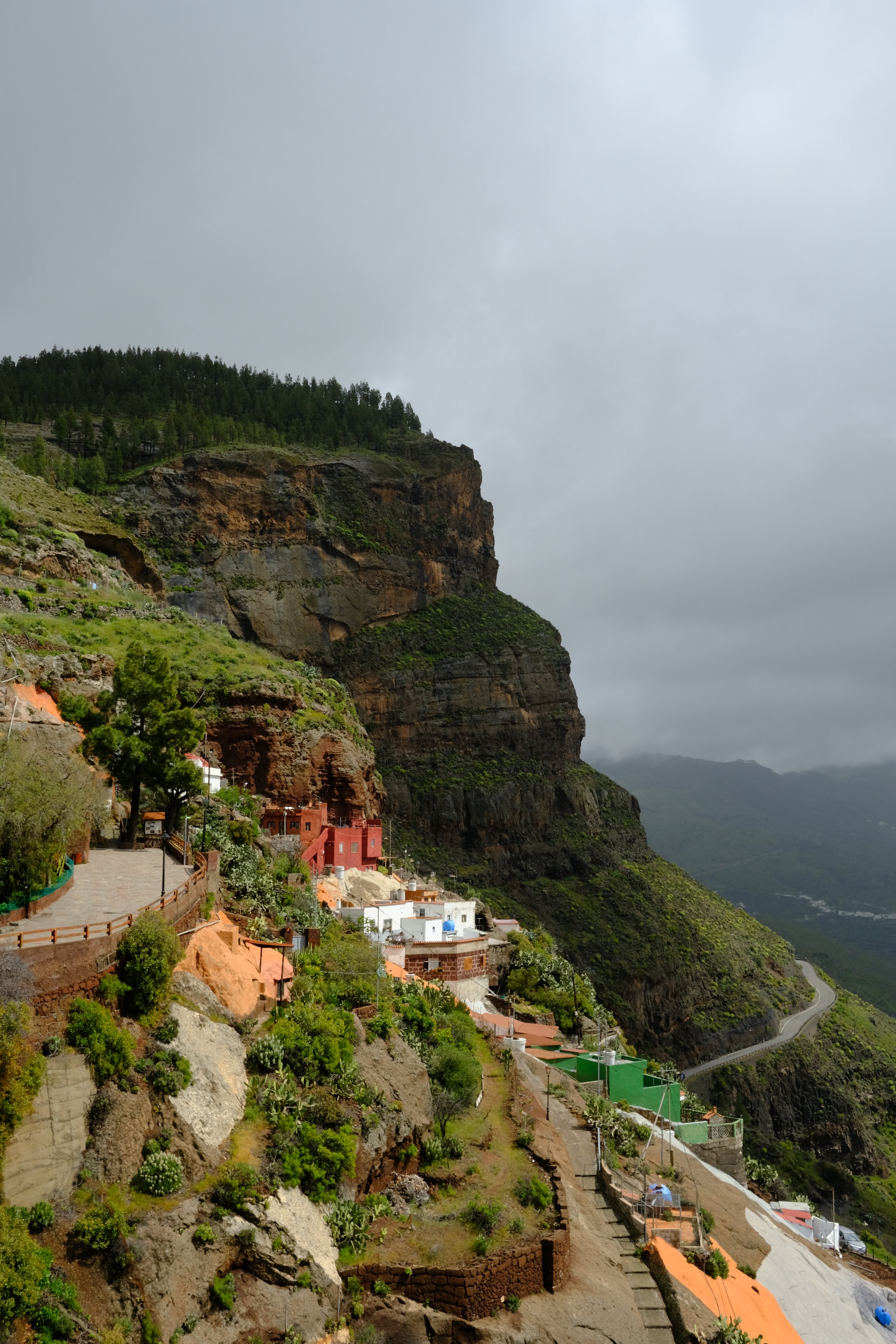
The walk from Tefía to El Pinar takes you from calm rural flats into more rugged, rolling terrain as the island’s central mountains begin to rise around you. Along the way, you’ll pass through Betancuria, the island’s former capital—a charming village and the perfect place to slow down, grab a bite, and enjoy the historic surroundings.
Top Tips
The former capital, Betancuria, is a lovely place to slow down and take it easy.
Resupply on bottled water in Betancuria before continuing. While the tap water at El Pinar Barbacoa is technically safe to drink, it tends to be heavily chlorinated and not very pleasant. It’s a good idea to carry enough water for around 6 hours of hiking, covering the evening and the following morning.
El Pinar Barbacoa (Castillo de Lara Recreation Area) provides great facilities such as toilets and water. However, it is only open between 10:00am and 18:00pm where rangers/staff strictly enforces this rule.
Food Options
The first option on the trail, this quiet local bar serving traditional Spanish snacks including tostadas and bocadillos.
€1-€10
A little further down, this casual spot serving simple breakfast and dishes like tostadas, café con leche, and fresh juice.
€10-€20
🍽️ La Sombra
Popular restaurant known for blending Spanish and Mediterranean influences and very energetic vibe.
€10-€20
Great cafe underneath giant trees serving a mix of Spanish and Mediterranean food.
€10-€20
A quieter, casual spot but still close by serving traditional Spanish plates and tapas.
€10-€20
👩🏻🍳 Self cater
Campsite
🌲 Wildcamp near El Pinar Barbacoa
El Pinar to
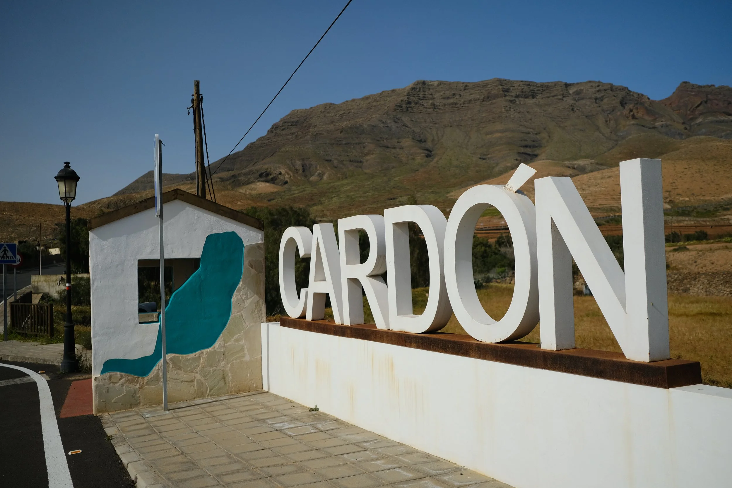
Cardon
4
7hr · 24km · 620m ascent
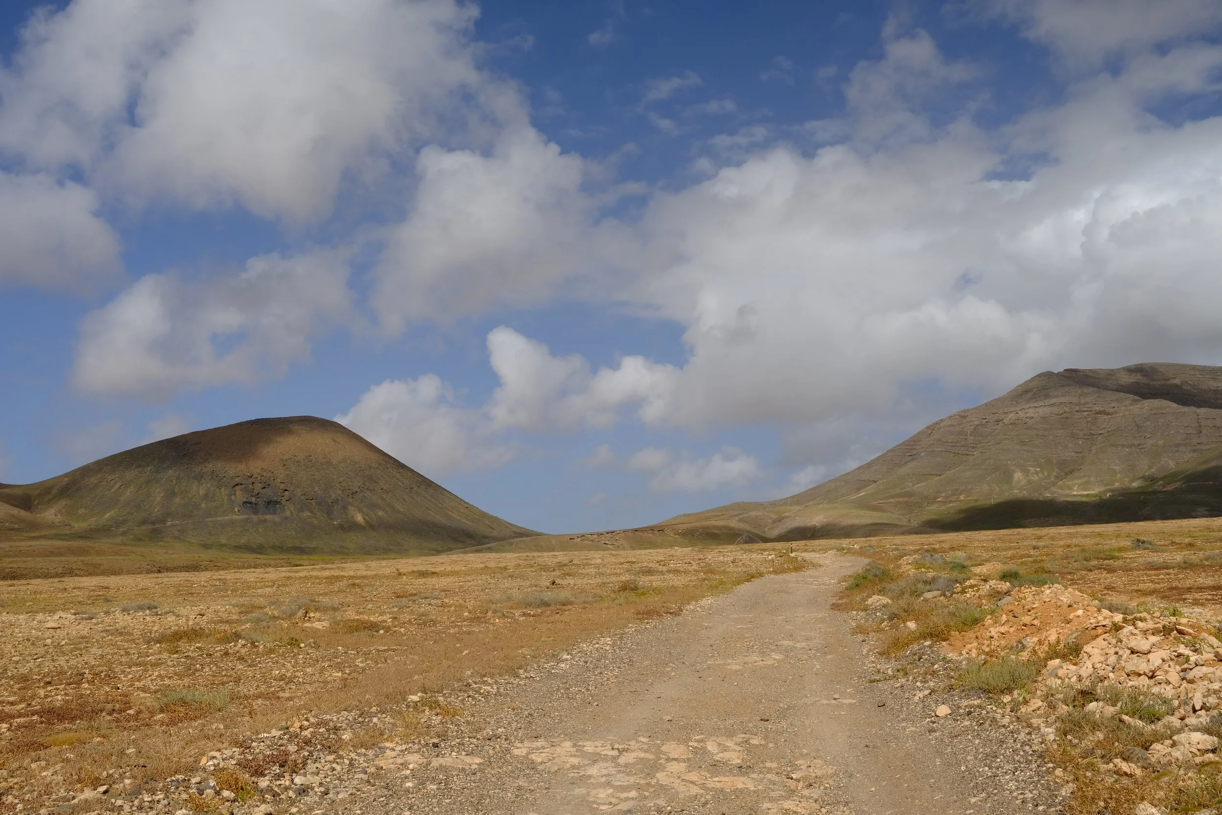
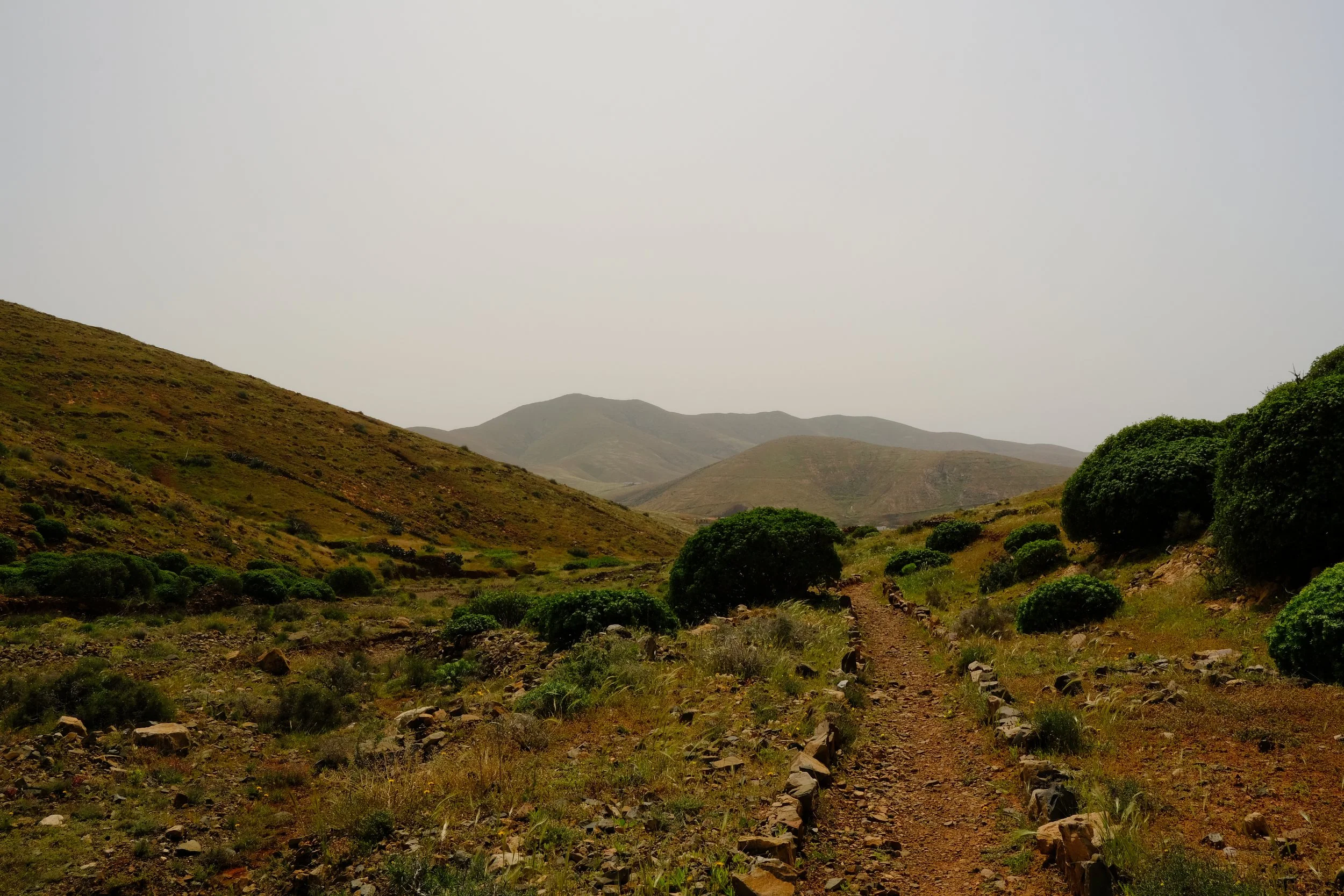
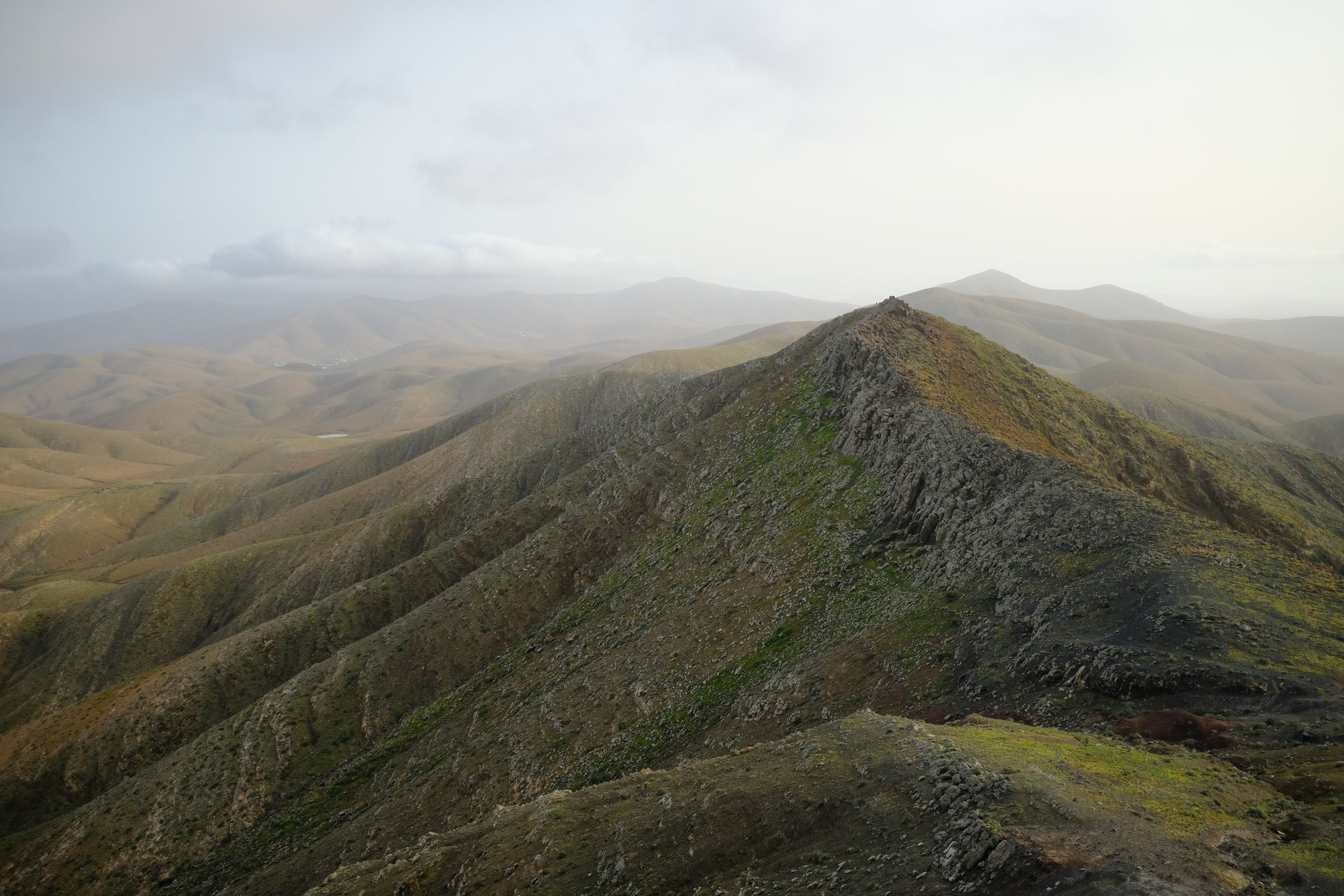
The stretch from El Pinar to Cardón is a rewarding stage that gradually descends from the highlands into a more rugged volcanic landscape. As you head south along the GR131, the distinctive shape of Montaña de Cardón slowly appears ahead, guiding you toward the end of the day’s walk. Along the way you’ll enjoy wide open views, quiet valleys, and big skies.
Top Tips
El Pinar Barbacoa has running drinkable water but it is a bit overly chlorinated. I opted to fill up on bottled water from Betancuria instead .
Ensure you have a decent self catered breakfast as it is a good 4 hours before you get to Pájara for lunch.
The small park in area just outside Guayarmina Café is a great place to get out of the sun and have a little break.
Resuppy on water at the local supermarket in Pájara. Enough to last about 7 hours of hiking, covering the evening and the next morning.
The stretch after Pájara is one of my favourite sections of the GR131 in Fuerteventura—think 360° views, dramatic landscapes, and the chance to watch the sun slowly set over the horizon. Do be careful though as it is very exposed.
Food Options
👩🏻🍳 Self cater
A bustle cafe with plenty of outdoor seating serving toastadas, bocadillos, smoothies and coffees.
€1-€10
A popular traditional Spanish bar serving light inexpensive lunch, perfect for a break. Both indoor and outdoor seating are available.
€1-€10
☕ Ca Luisa
A friendly coffee shop and café near Pájara’s main plaza serving sandwiches, bocadillos and pastries.
€1-€10
👩🏻🍳 Self cater
Campsite
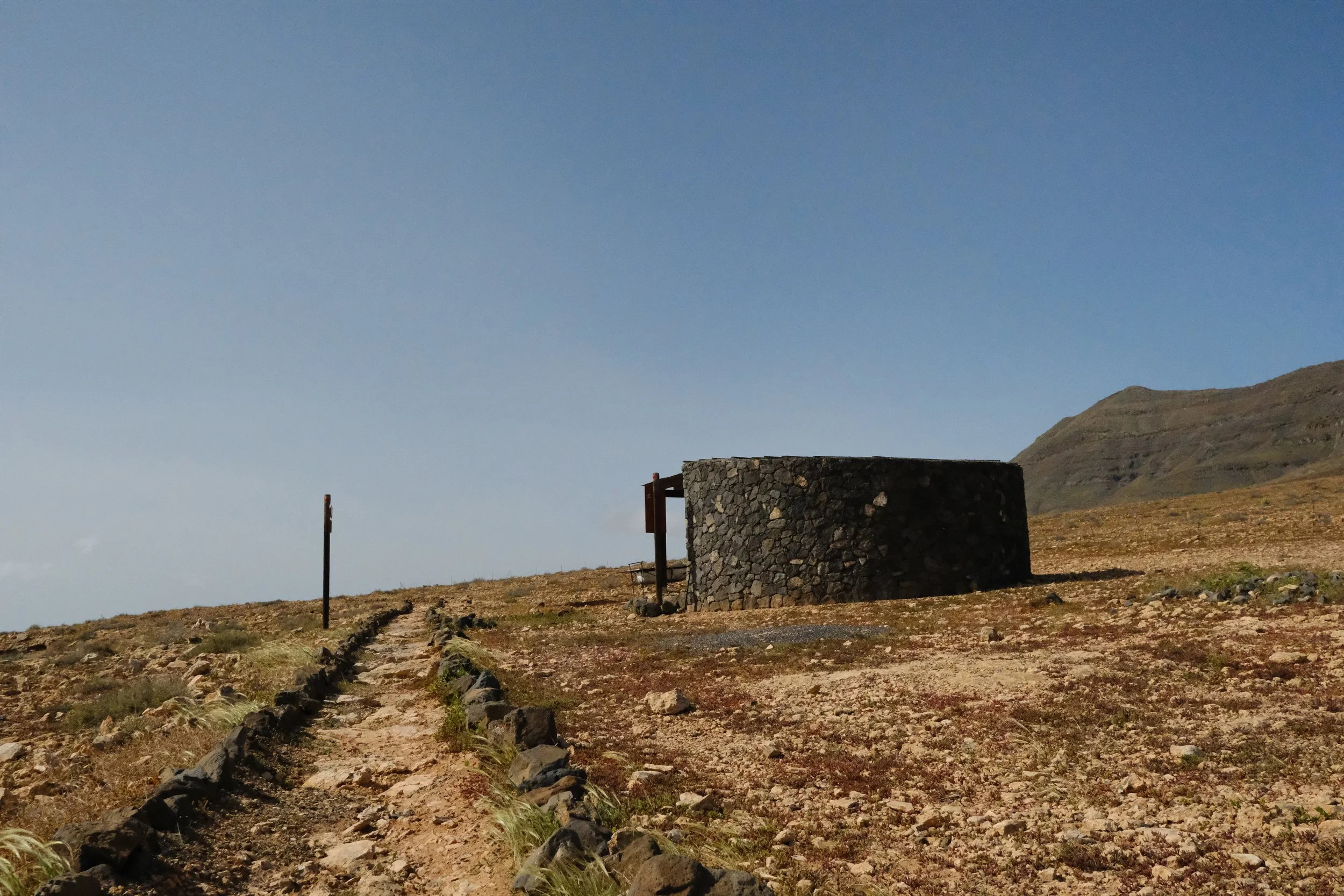
🌲 Wildcamp a few kilometers before Cardon.
Cardon to
El Jable
5
6hr · 21.8km · 290m ascent
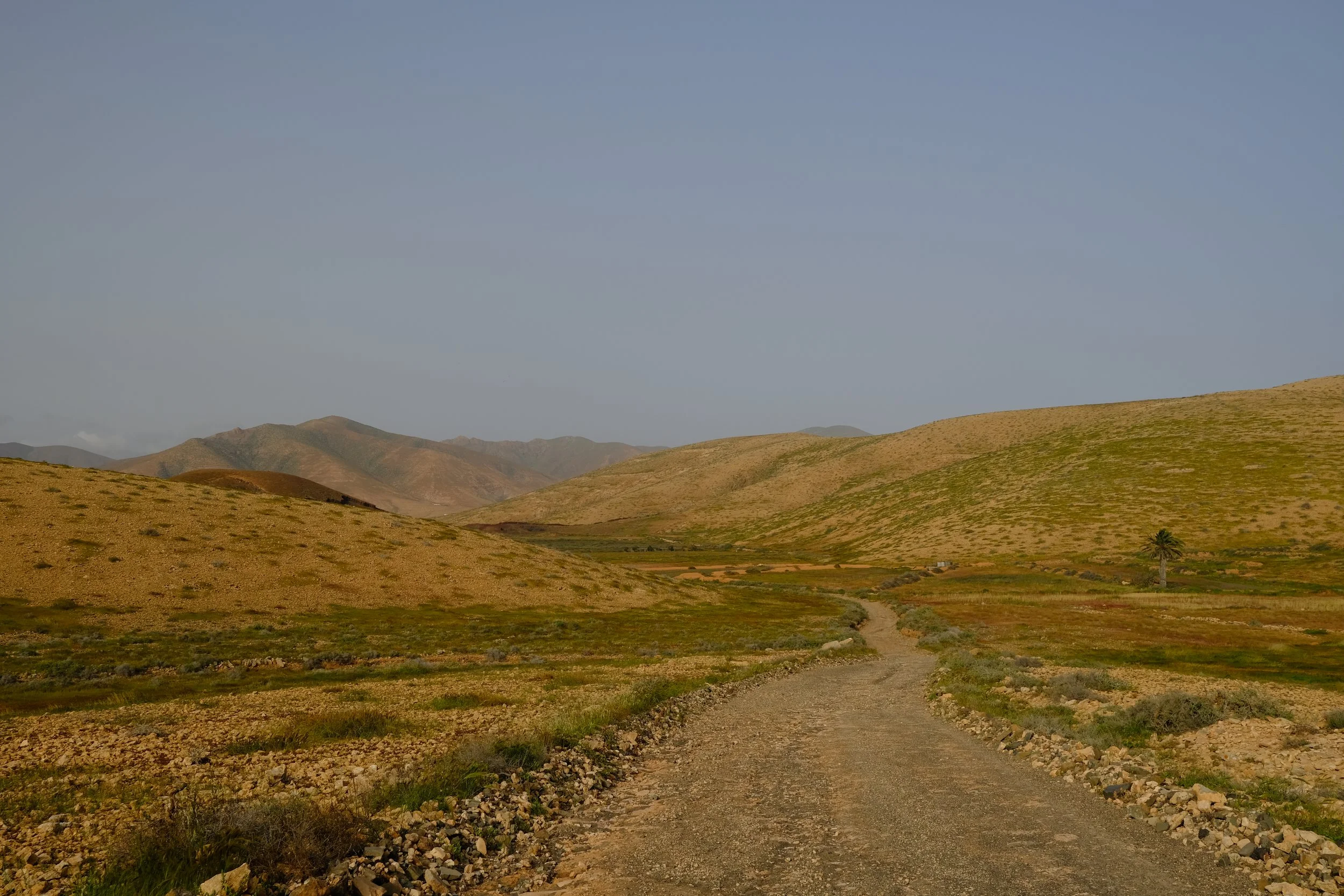
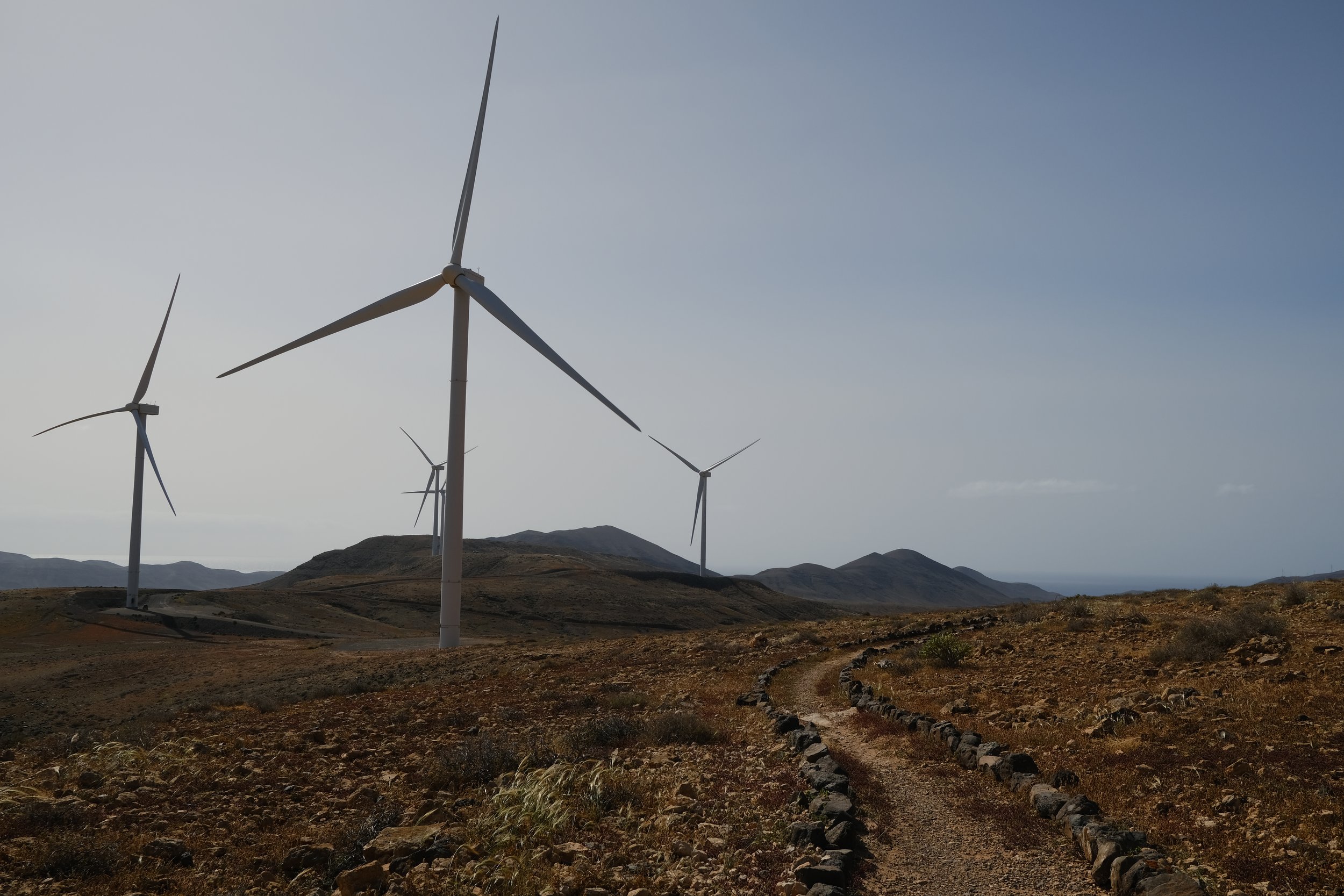
The section from Cardón to El Jable is a gentle, scenic transition from volcanic foothills into wide, open plains. Leaving the dramatic profile of Montaña de Cardón behind, the trail opens into soft rolling terrain, earthy colours, and farmland areas. It’s a calmer, easier stage with plenty of wide-sky views and a relaxed, steady rhythm that leads you toward the southern dunes.
Top Tips
The mountain pass on the approach to Cardon can be very windy. Be extra careful and take it easy.
The trail leading into La Pared involves quite a bit of road walking, mostly on sealed and industrial roads. It’s unfortunately one of the less scenic stretches of the route.
The desert section known as “El Jable” between La Pared and Jandia is spectacular and out of this world. Definitely a highlight of the GR131.
Food Options
👩🏻🍳 Self cater
A highly-rated local café serving sandwiches, fresh pastries, coffee drinks, and simple café plates
€1-€10
🍽️ Sabor
A local bistro-style spot for casual meals such as sandwiches, salads and grilled dishes.
€10-€20
A popular beachfront restaurant offering Spanish dishes, including burgers and grilled items.
€10-€20
👩🏻🍳 Self cater
Campsite
🌲 Wildcamp in El Jable
El Jable to
Morro del Jable
6
7hr · 25km · 300m ascent
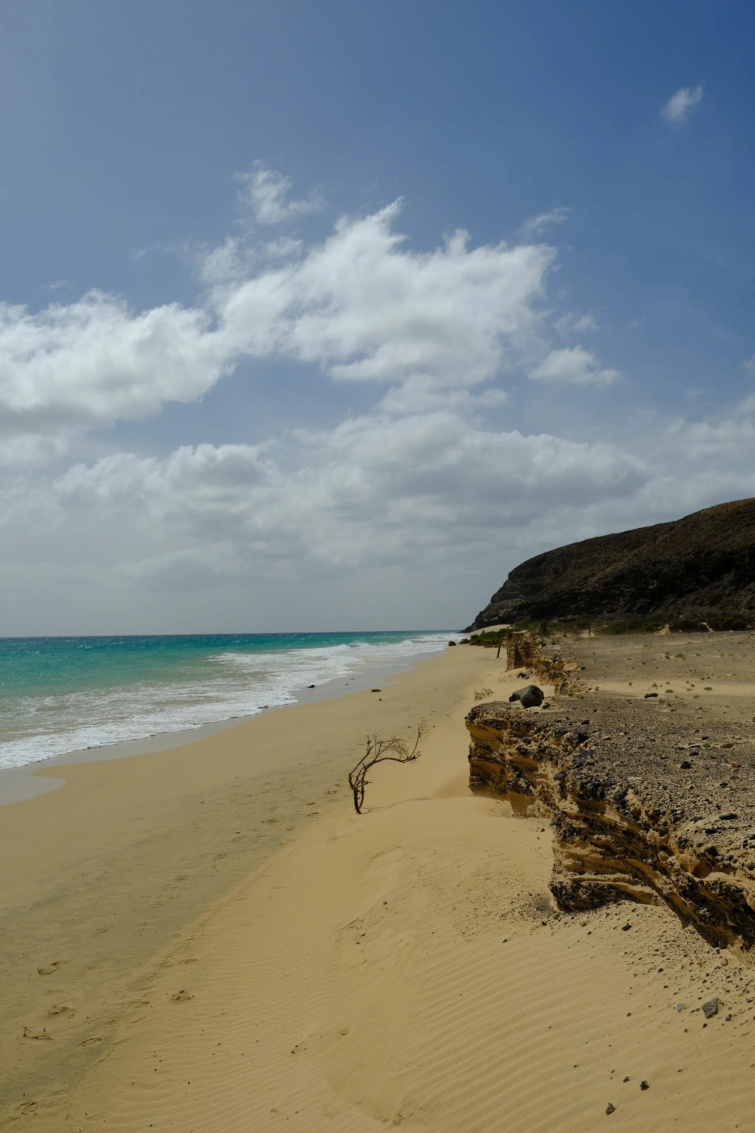
The final day from El Jable to Morro Jable is a long but rewarding finish, taking you from quiet inland desert to the sunny southern coast. Expect long stretches of white sand beaches, turquoise water, and the lively seaside town of Morro Jable—the perfect place to celebrate the end of your GR131 journey.
Top Tips
El Jable is surreal but due to being located on the narrowest part of the island, it can be very windy.
Although, the official GR131 path goes up and down over the cliffs, it is much more fun to stay on the beach. Just be cautious of the tides making some section impassable.
There are plenty of restaurants and bars in the town center which caters for all budgets and preferences.
Food Options
👩🏻🍳 Self cater
A beachside restaurant-bar, conveniently located on Playa de Mal Nombre simple, serving sandwiches, burgers, and snacks.
€10-€20
One of the most popular local spots in Morro Jable for affordable tapas and small plates, ideal for a casual lunch or dinner.
€10-€20
A crowd-pleasing choice right in the heart of town serving proper burgers.
€10-€20
Popular with the locals, this Café dinner serves budget mains and located away from the busy streets.
€1-€10
Campsite
🏨 Hotels and Hostels
There are plenty of hotels and hostels which can be booked by all the popular online travel agent sites such as Booking.com, Expedia and Airbnb.
Hostels / guesthouses: 40 to 80 EUR
Budget hotels: 80 to 100 EUR
€40-€80
🏕️ Campsites
🚫 Sadly, there are no campsites available
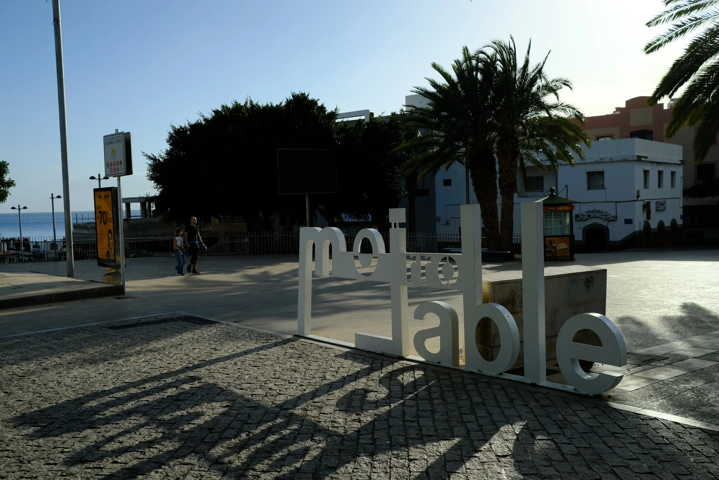
Unwinding in
Morro Jable
N
Relax
Morro Jable is a relaxed seaside town at the southern tip of Fuerteventura, known for its long golden beaches, calm turquoise water, and warm, welcoming vibe.
Top Tips
Make sure to eat heaps to aid in recovery. Especially fresh fruits and vegetables which is quite scares on the trail.
Getting an ice cream from Coco Banana is non-negotiable.
In Morro Jable
🛍️ Morro Jable Promenade
Stroll along this broad, pedestrian-friendly promenade that runs beside Playa del Matorral, lined with shops, cafés, and ocean views. It’s ideal for an easy post-hike wander, sunset walk, or relaxed morning coffee with sea breezes.
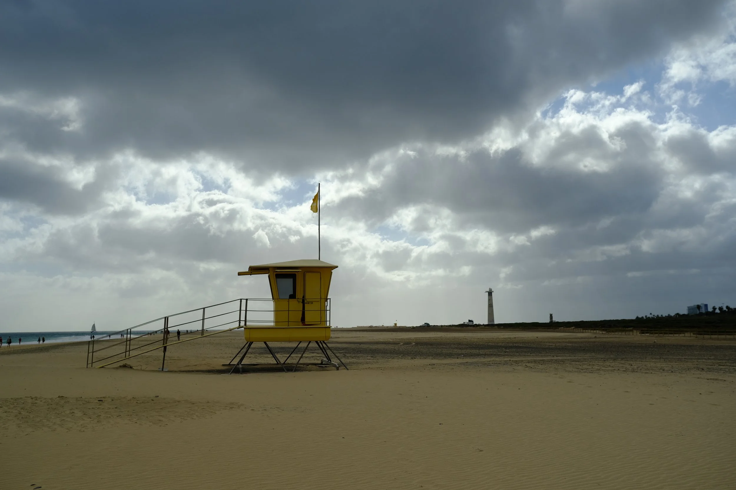
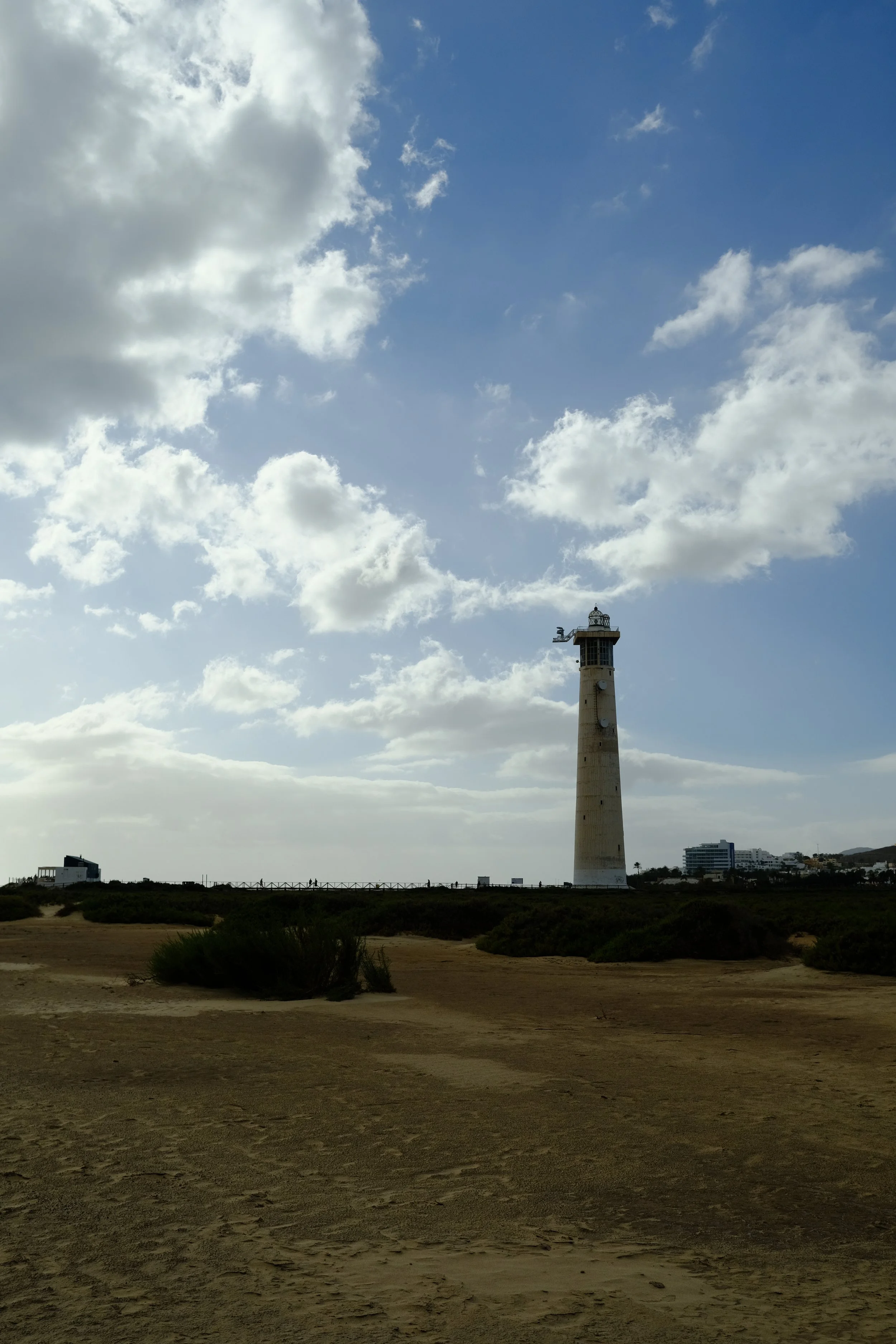
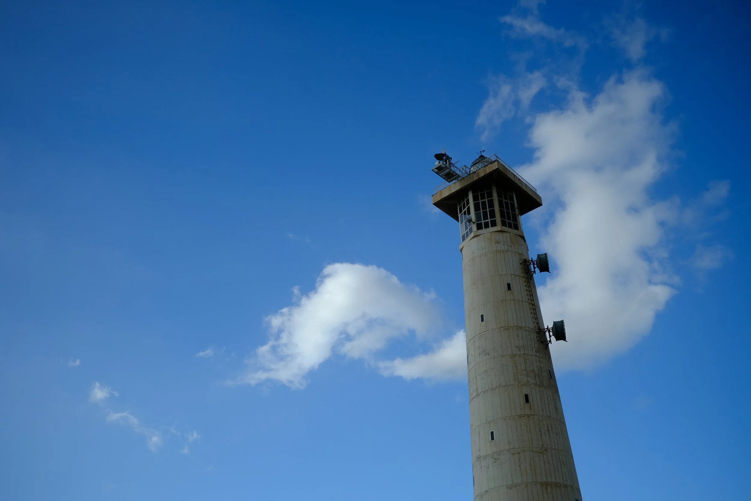
🌅 Morro Jable Lighthouse — Faro de Morro Jable
This striking lighthouse juts out at the edge of the beach and is a landmark for the town. Many consider this the end of the shorter version of the GR131.
🏝️ Playa del Matorral (Morro Jable Beach)
One of the longest white-sand beaches on the island, this stretch is perfect for swimming, sunbathing, or trying out water sports like windsurfing, paddle boarding, and kayaking. The calm, clear waters and lifeguards on duty make it great for a chill or active day by the sea.
Going Home
🚌 Airport Transfer
Prebook Airport transfer is available by Popular operators include canary shuttle, hoppa or shuttle spain transfers.
~€20-€30 · 1 hour
🚕 Taxis
Taxis are always an option but a one way trip will set you back between 55 to 80 EUR depending on time of day and number of bags.
€55-€80 · 1 hour
🚕 Ride Sharing
🚫 Ride sharing services such as Uber and Bolt are not available in Fuerteventura.
Continuing On
⛴️ Ferry to Gran Canaria
If you’re doing the next leg of the GR131, you can catch a ferry Fuerteventura to Gran Canaria which takes about 2 hours. There are multiple daily sailings, with the earliest departure around 06:00am and the last around 18:00pm.
The main ferry operators for this route are Fred. Olsen Express and Naviera Armas and prices range between 50 to 70 EUR depending on the day. It is best to book this in advance for the best deal.
Note: Ensure that you select the non-resident so that you get the right ticket as the ferries operators have special discounts which are available to residents only.
Other bits of Useful Information
All the things which might have been missed.
🏕️ Wild Camping
Wild camping is officially prohibited in the Canary Islands, but many hikers practice discreet bivouac following Leave-No-Trace principles to bridge wilderness stages where official accommodation is absent.
🚰 Water
The island is very dry, so you won’t find natural water sources along the trail. It is best up in each town before you leave (usually 3–4 litres is enough).
Please note that on the Canary Islands, tap water comes from desalinated sea water. This often has poor taste and high mineral content. Although it is perfectly drinkable, the locals opt to get store bought water which is very affordable on the islands.
🍔 Map of Food Spots
Finding great places to eat while on the trail can sometimes be tricky, so I’ve put together all my recommendations in a Google Maps list called
It includes places I’ve personally visited as well as others that are highly rated by the local community.
💶 Cash
Most places along the trail—supermarkets and larger restaurants—accept card payments, so it’s easy to manage expenses without carrying much cash.
The only spots that typically require cash are the small, traditional Spanish-style bars in the quieter towns. To give some perspective, I started the trip with €100 and ended with about €70 left, even while eating out at least once a day.
💩 Toilets
Public toilets (known locally as baños públicos) are fairly limited along the trail. Larger towns such as La Oliva, Betancuria, and Pájara have a few facilities, and you’ll also find some near the beaches as you approach Morro Jable. In practice, though, it’s easiest to rely on local bars and restaurants, where using the bathroom is generally fine if you stop for a drink or snack.
📶 Phone Reception
Phone reception along the trail is generally quite good. Since you pass through one or two towns each day, you’ll usually have signal for most of the route. The only place where reception can be a bit patchy is in the more remote mountain pass between Pájara and La Pared.
Helpful Links
FuerteventuraGuide (fuerteventuraguide.com)
Great resource explaining how to get from the airport to Corralejo
Lotus Eaters Travel (lotuseaters.travel)
Awesome resource and the source of information I used to plan my trip.
WAW Travel (waw.travel)
Another good source for practical stages, distances and tips.
AllTrails (alltrails.com)
Great for gpx files and exact route information.
Capture the Atlas (capturetheatlas.com)
For the list of all legal campsites in Fuerteventura.
Not sure on what to bring?
The complete long-distance
hiking kit list
Everything you need to pack — from blister-prevention basics to gear that's keeps you safe and comfortable on the trail.
Terms of Use
A quick but important note for all visitors: we do our best to share high-quality, accurate information, but it’s always possible that we’ve missed something or that conditions have changed. All GPS tracks (GPX files and maps) and route suggestions are meant to be used as general guidelines—not exact instructions.