Trip Report - Tour du Mont Blanc 2026
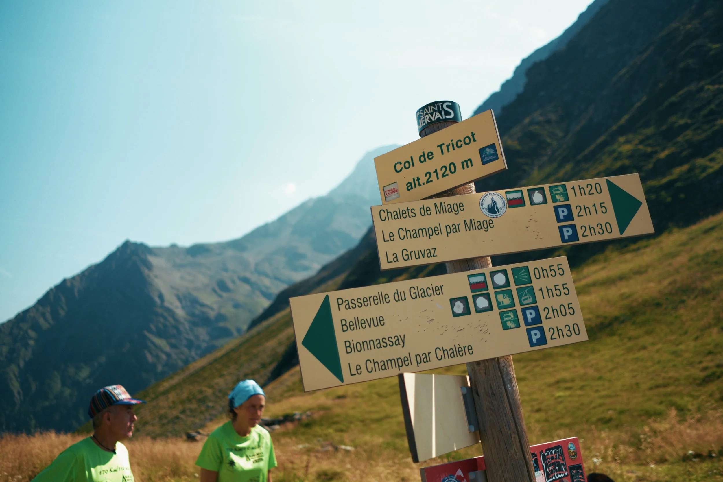
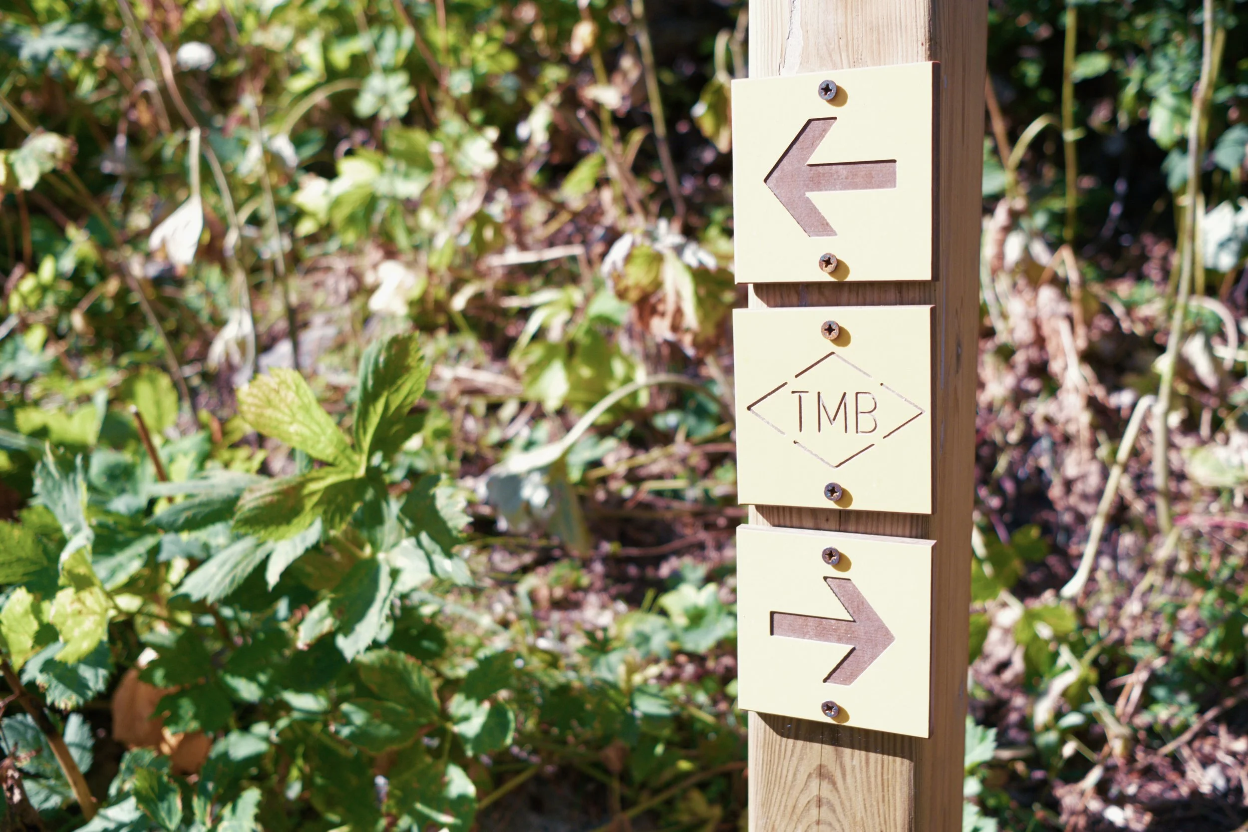
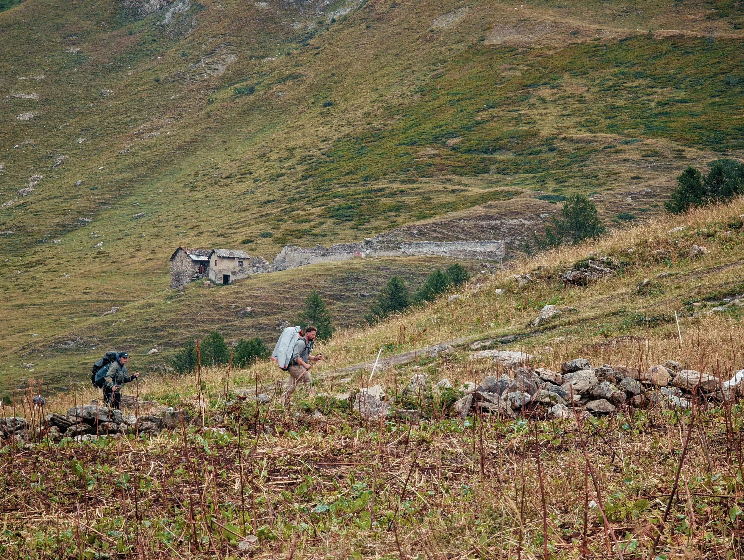
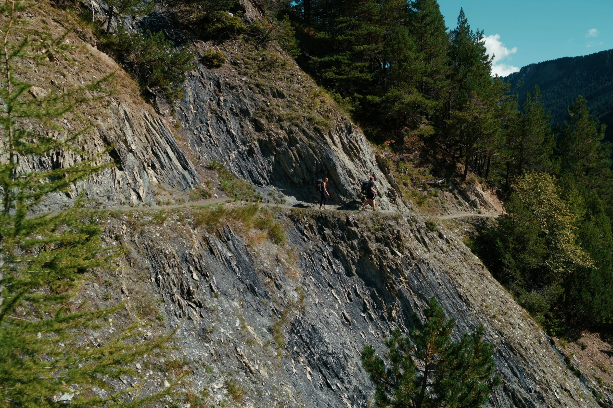
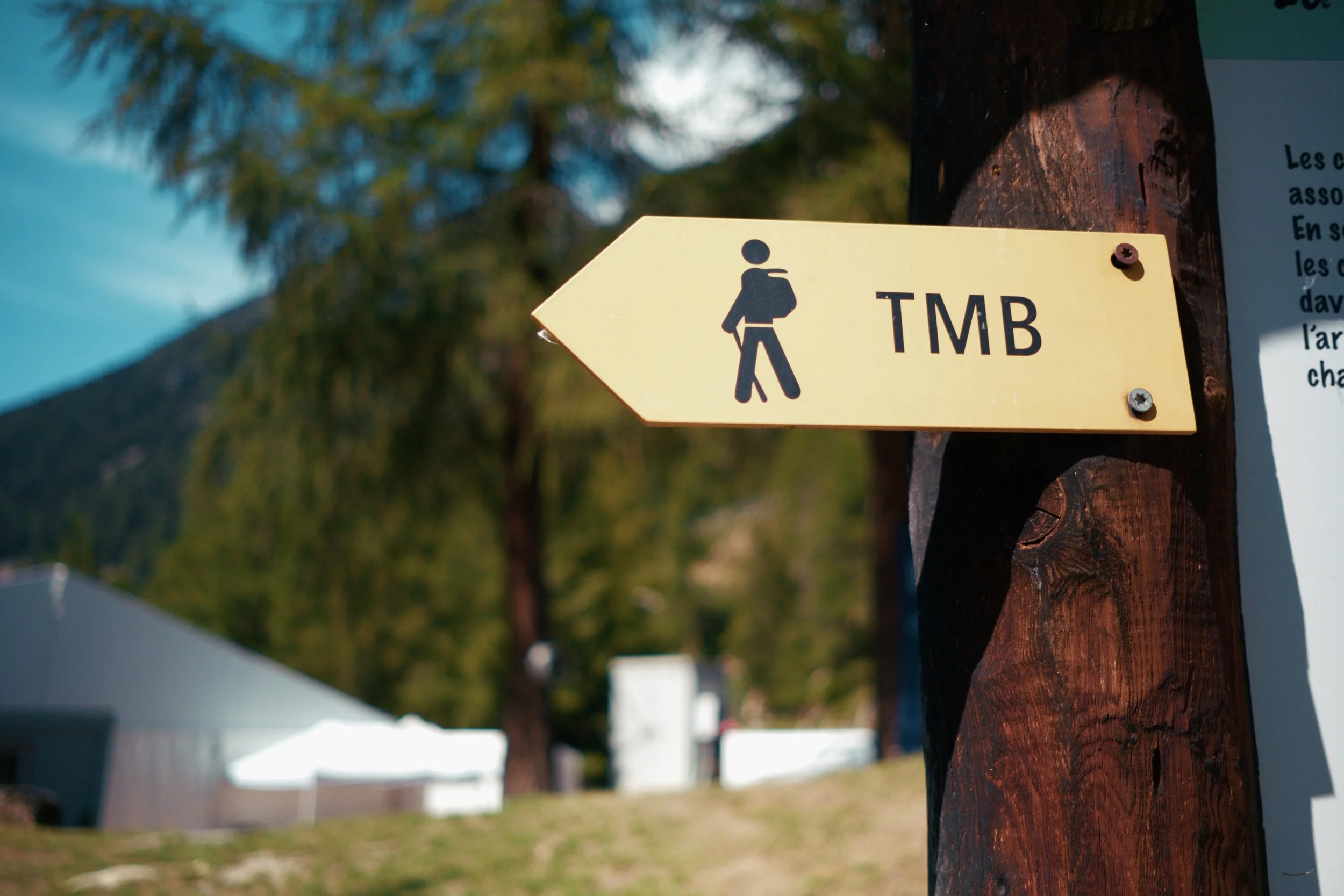
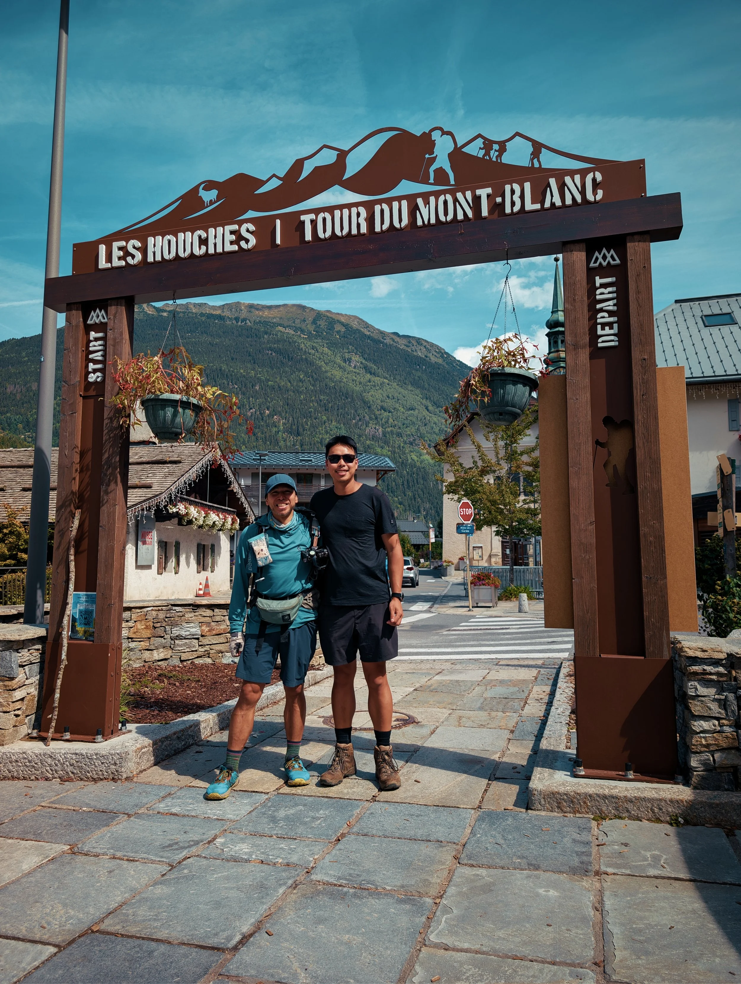
Another quick post of my trip in August to the Tour du Mont Blanc (tmb). This was my 5th time there and I can safely say, it is still on the top of my list for nature and social vibes. For this trip, I went with one other friend and we completed the tour in 11 days. Below are some key points and findings:
✈️ Airport Transfers - I used the Omio app to book transfers from Geneva to Chamonix on Swiss Tours. There are other providers there too at different times and they all vary in price.
🔥 Camping Gas - I got mine at Technical Extreme Chamonix. You can also get gas at other sporting stores like Decathlon and Smell but just double that you are getting the right connection type for your stove.
💧Water - Super easy and accessible. All rifugios and campsites have clean drinkable water. The only exception to this is at La Flegere where you will need to use a filter as their water is not controlled.
🚿 Showers - With the introduction of showers at Les Chapieux, you can pretty much have a shower every day except for the wildcamp spot at La Flegere.
🚽 Toilets - No need to do any wild poos as you will have access to a toilet at some point each day. The only “danger” time is at La Flegere when the rifugio closes at 10pm and reopens in the morning. During this time, campers will be unable to use the toilets.
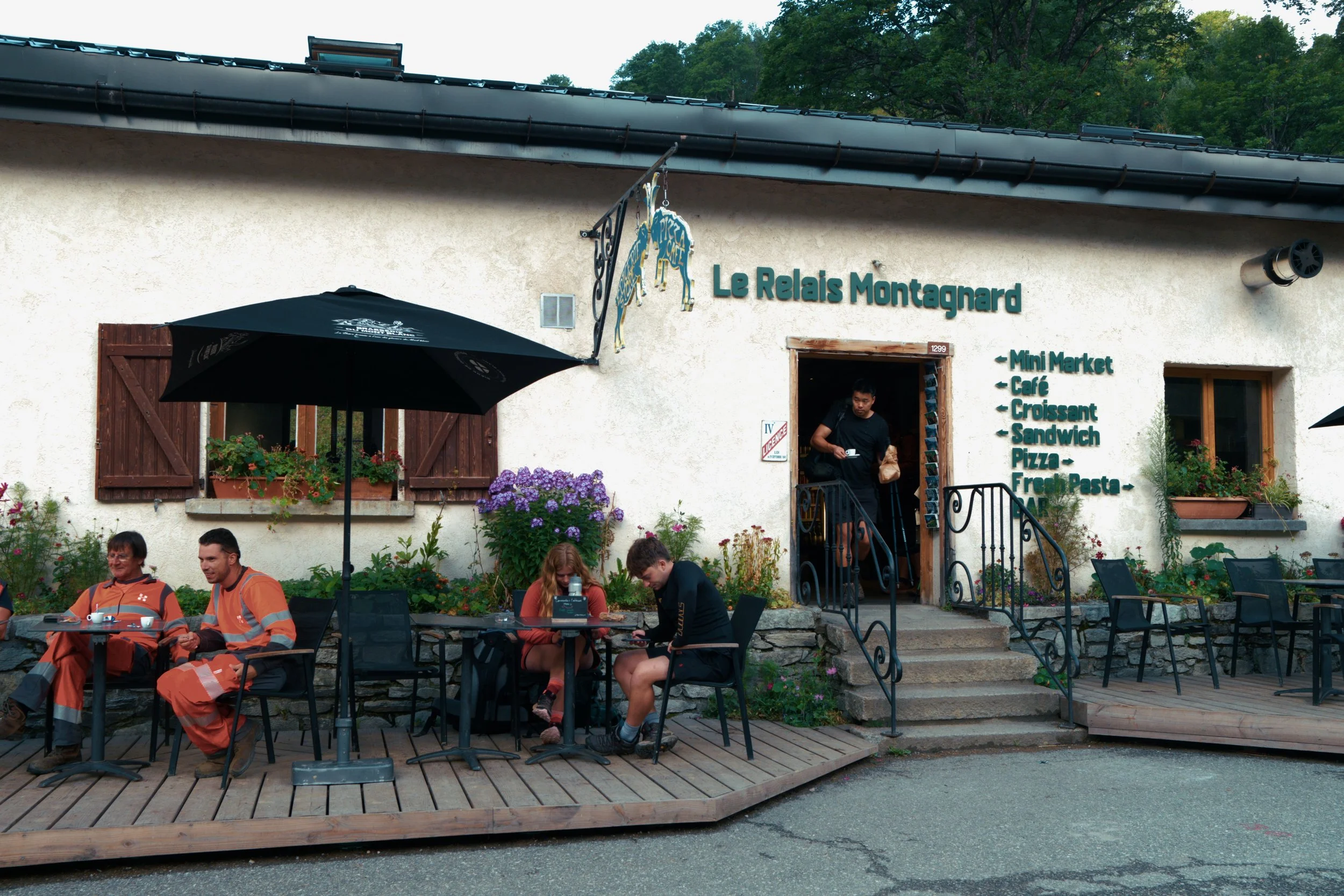
🍕Food - Definitely eat at all the rifugio the best experience. Just keep in mind that lunch is usually served between 11:30am and 15:00pm so planned accordingly. If you’re on more of a budget, you can also stock up at the supermarkets as generally, you won’t go more than 2 days without passing one.
💶 Card and Cash - Almost all places accept cards with the exception is the rifugio at Lac Blanc. I would still carry 50 EUR or so as backup money in case the POS machines are down which can happen during bad weather.
📱Phone Reception - Reception was quite good along the trail.
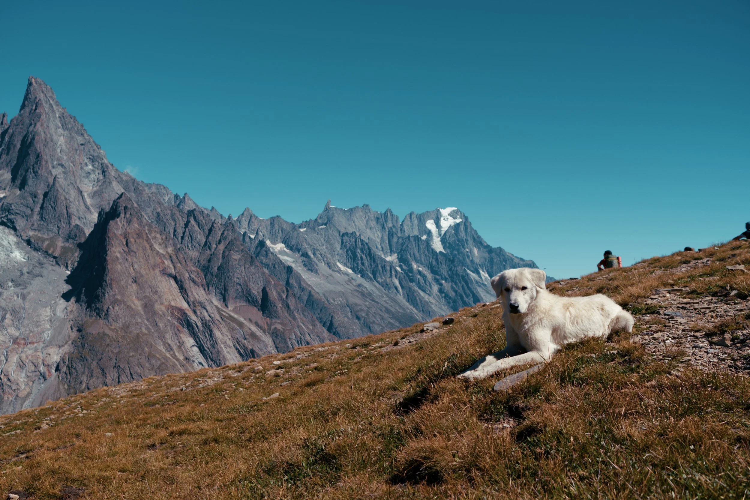
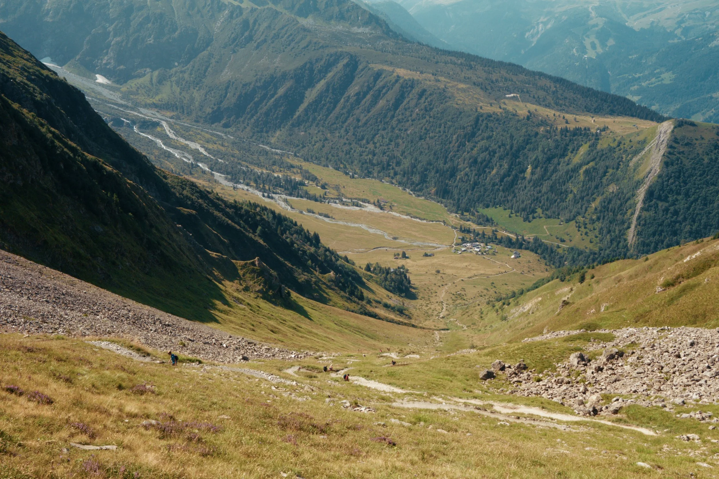
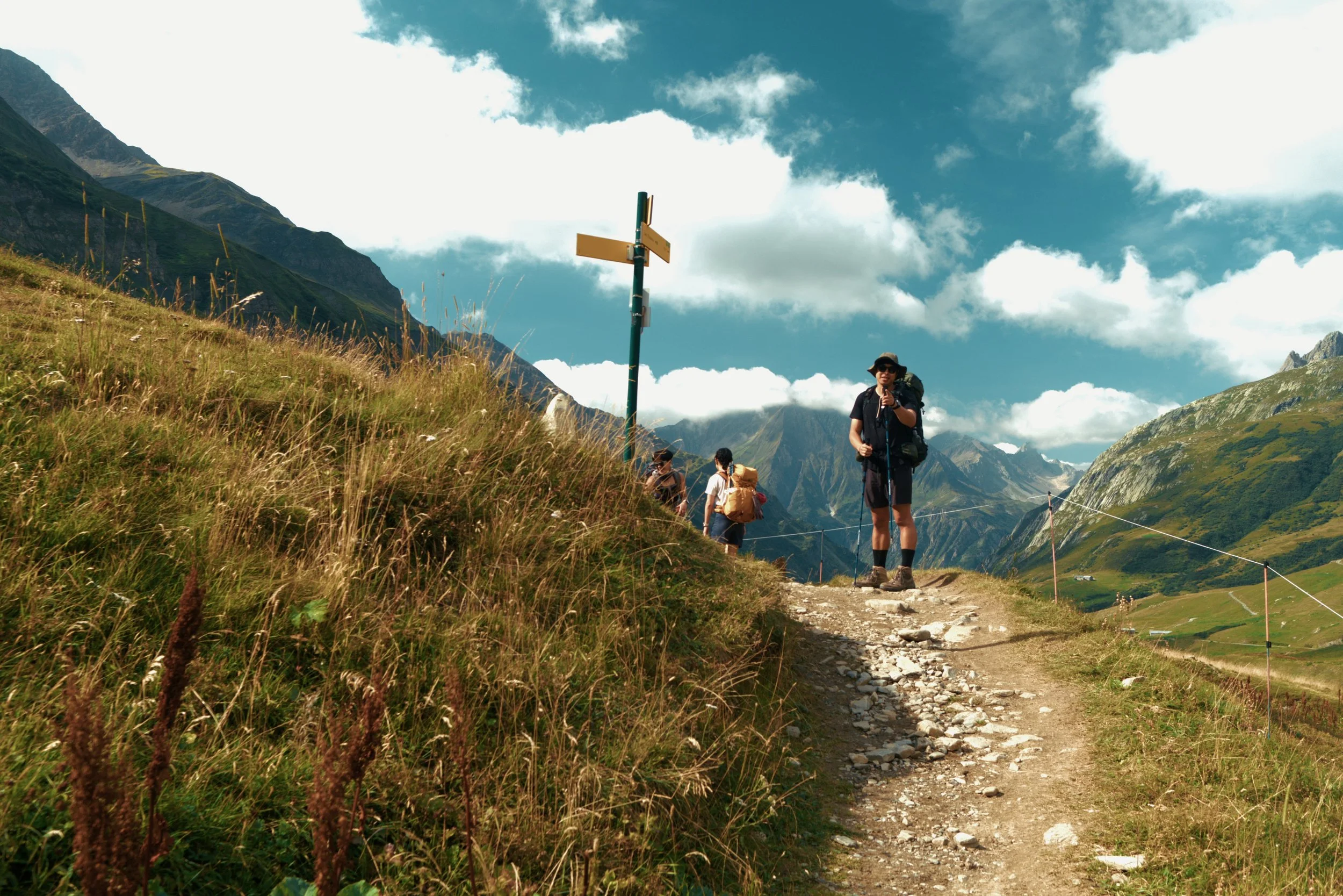
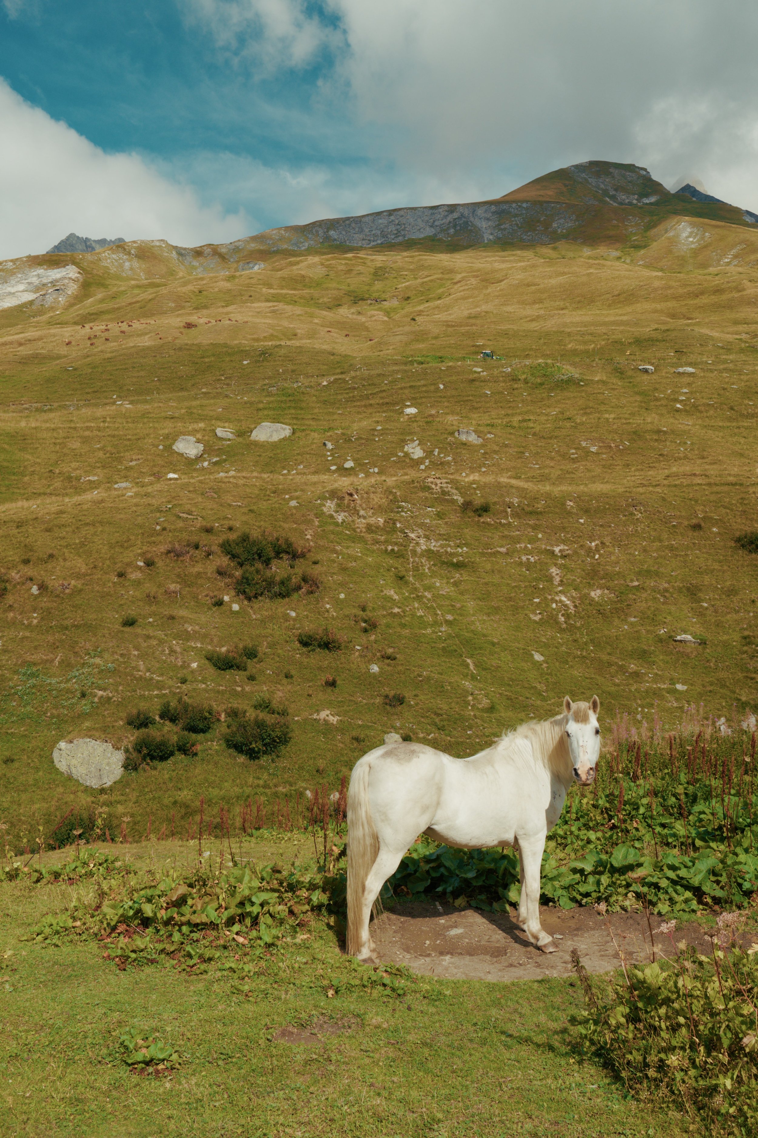
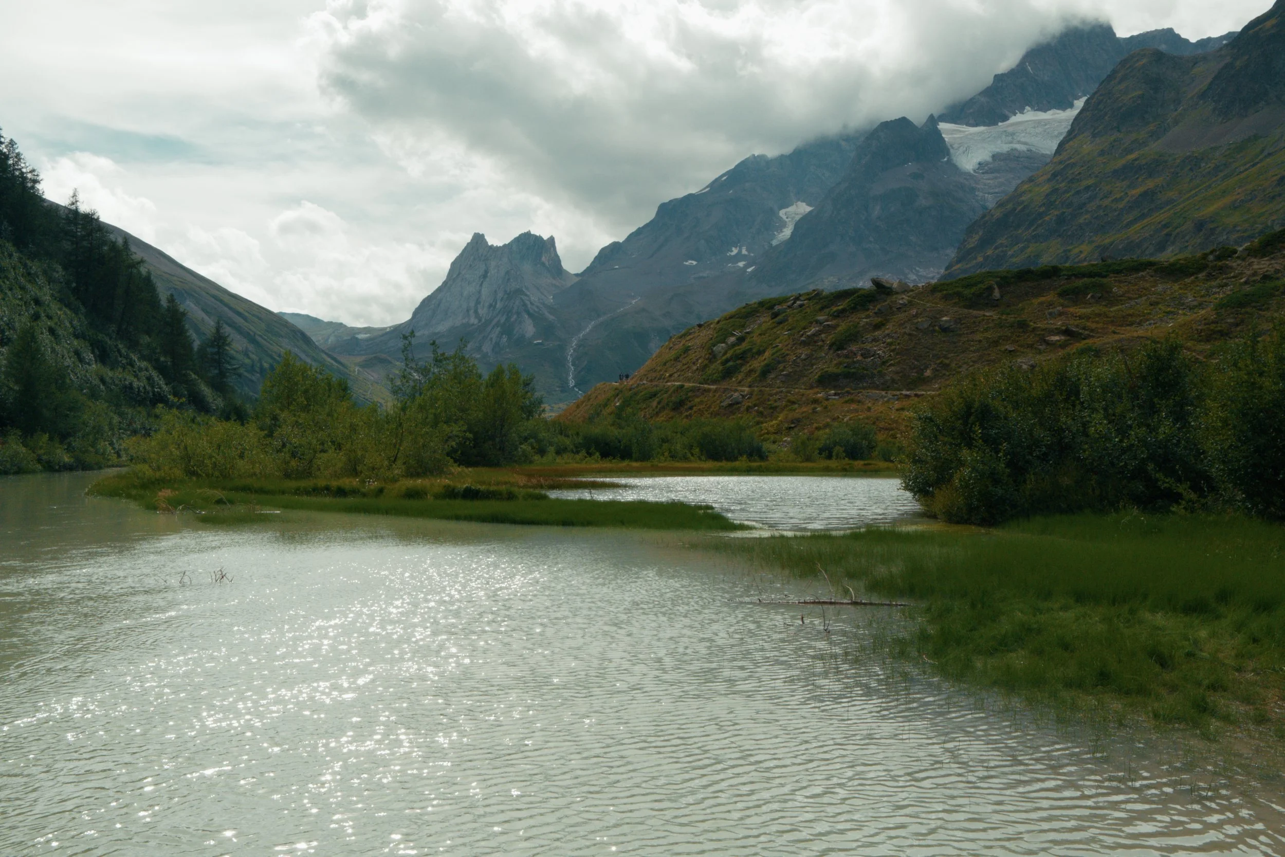
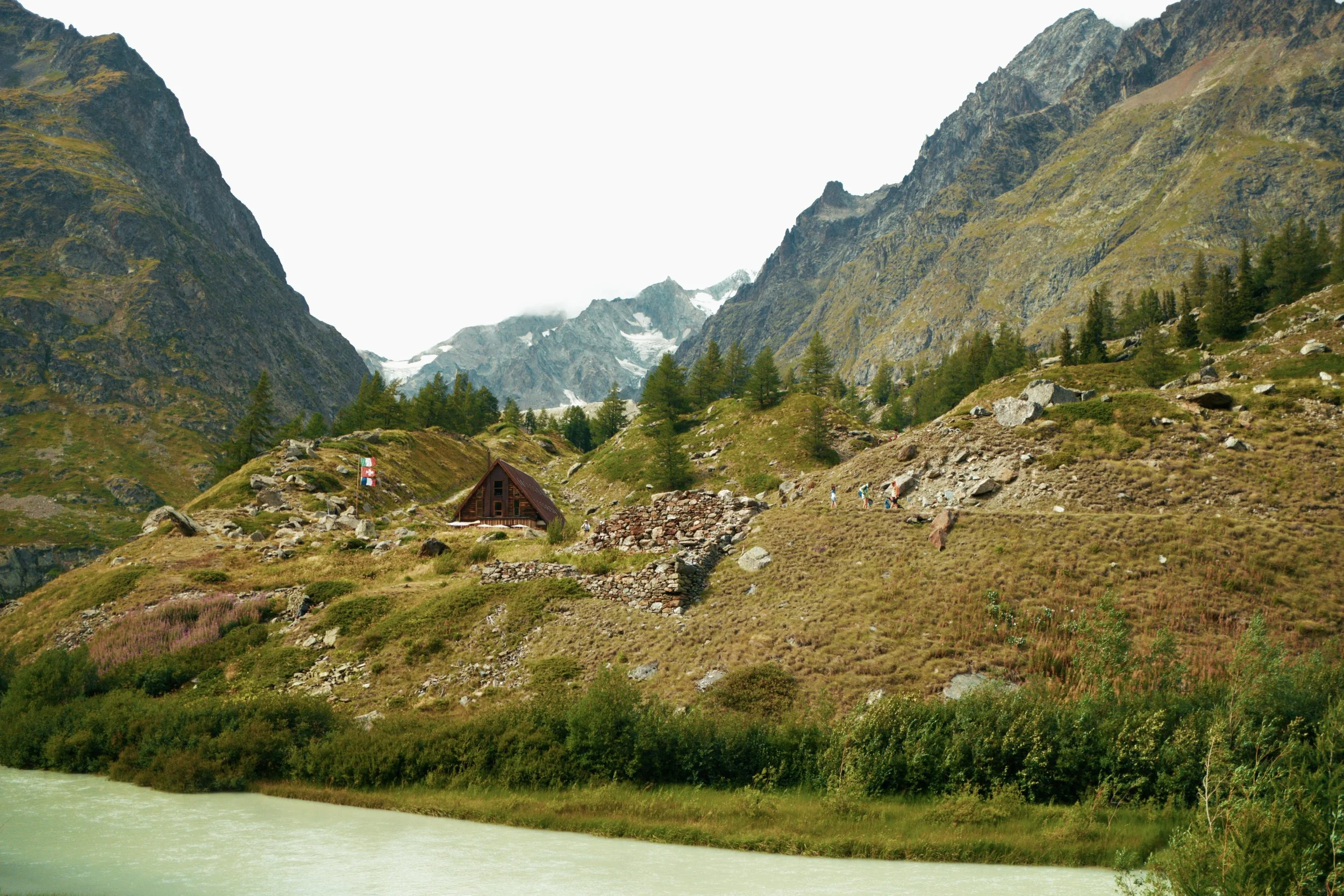
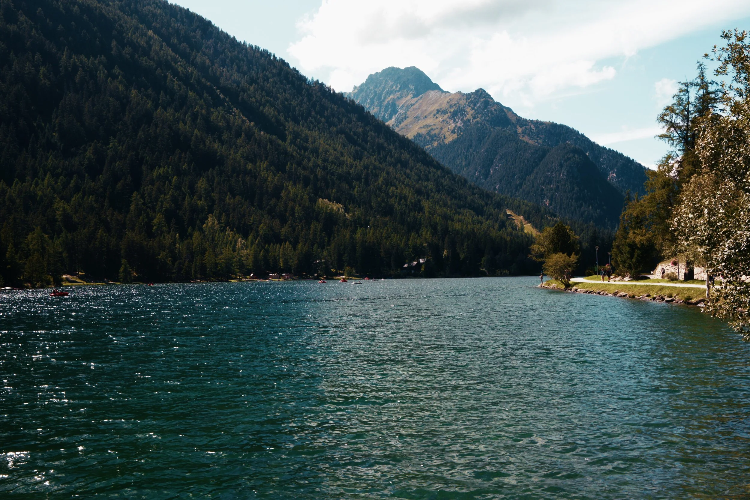
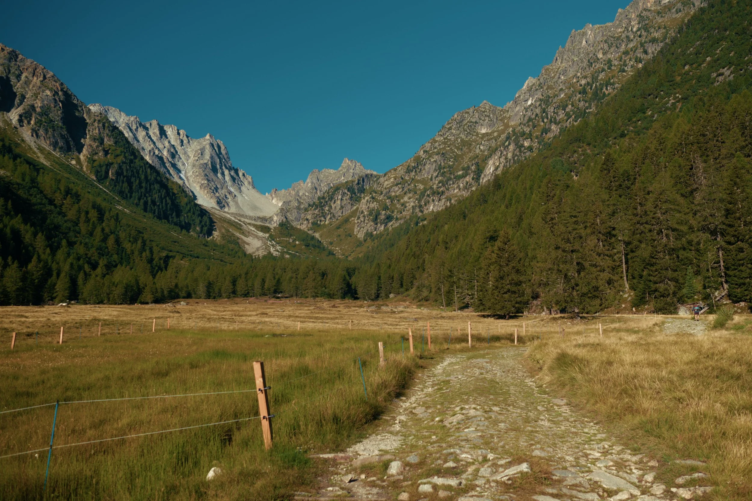
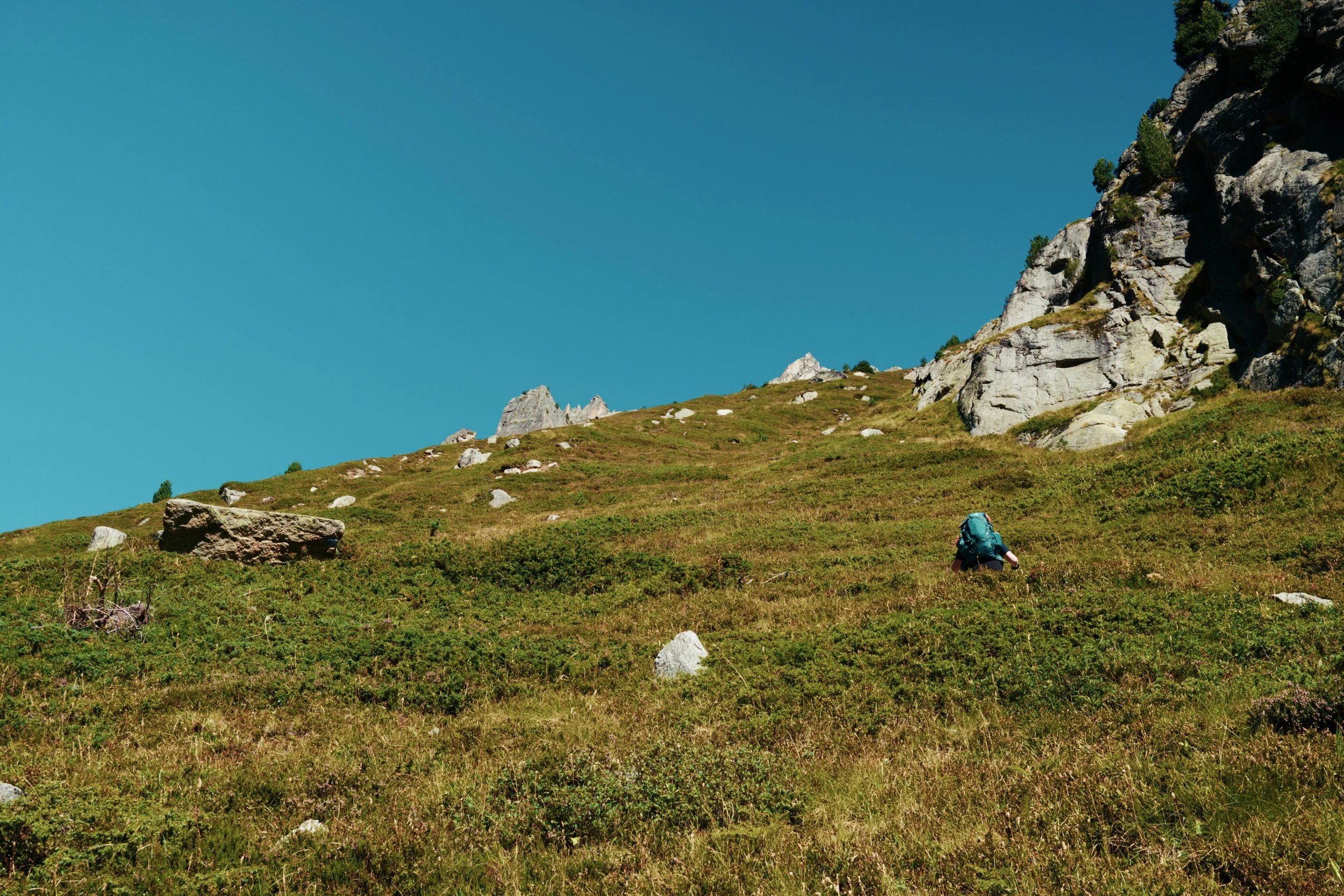
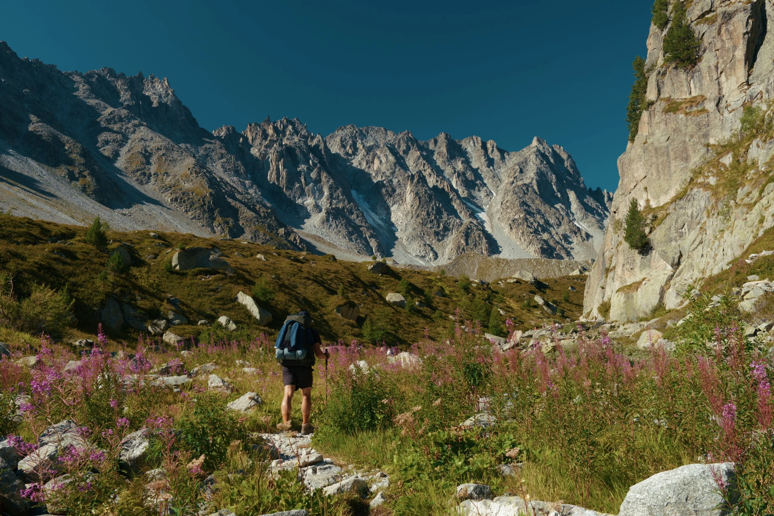
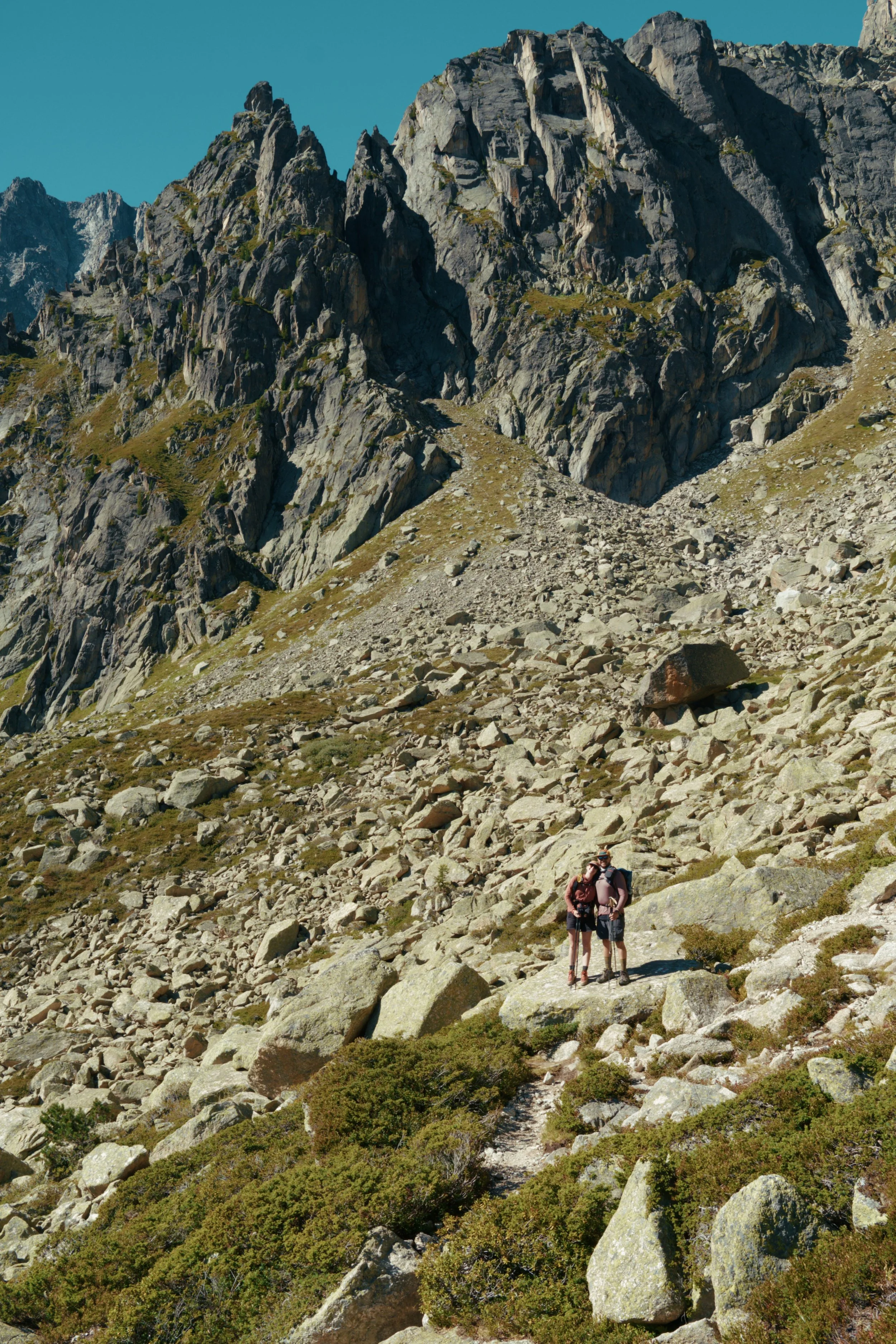
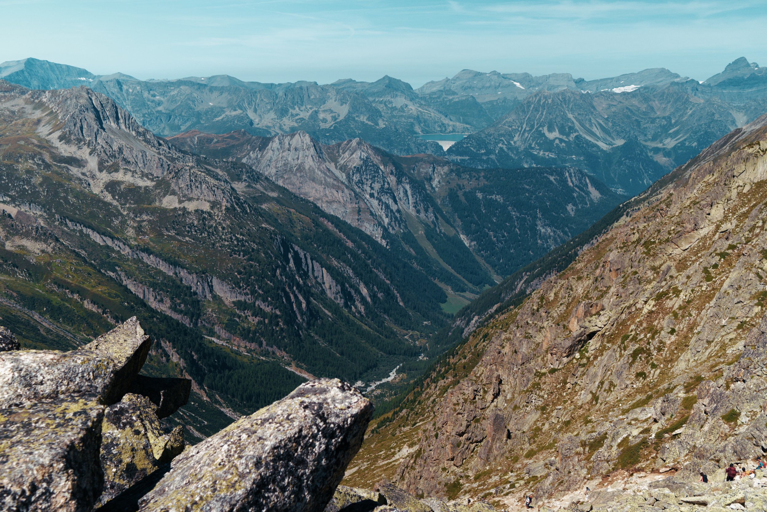
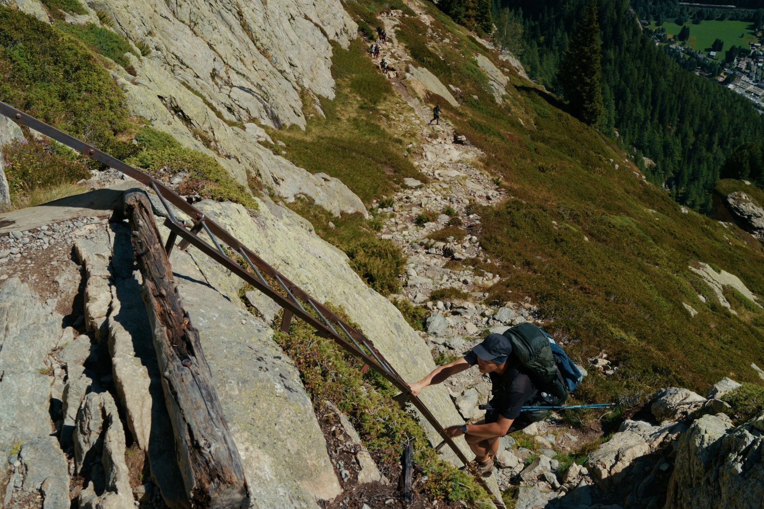
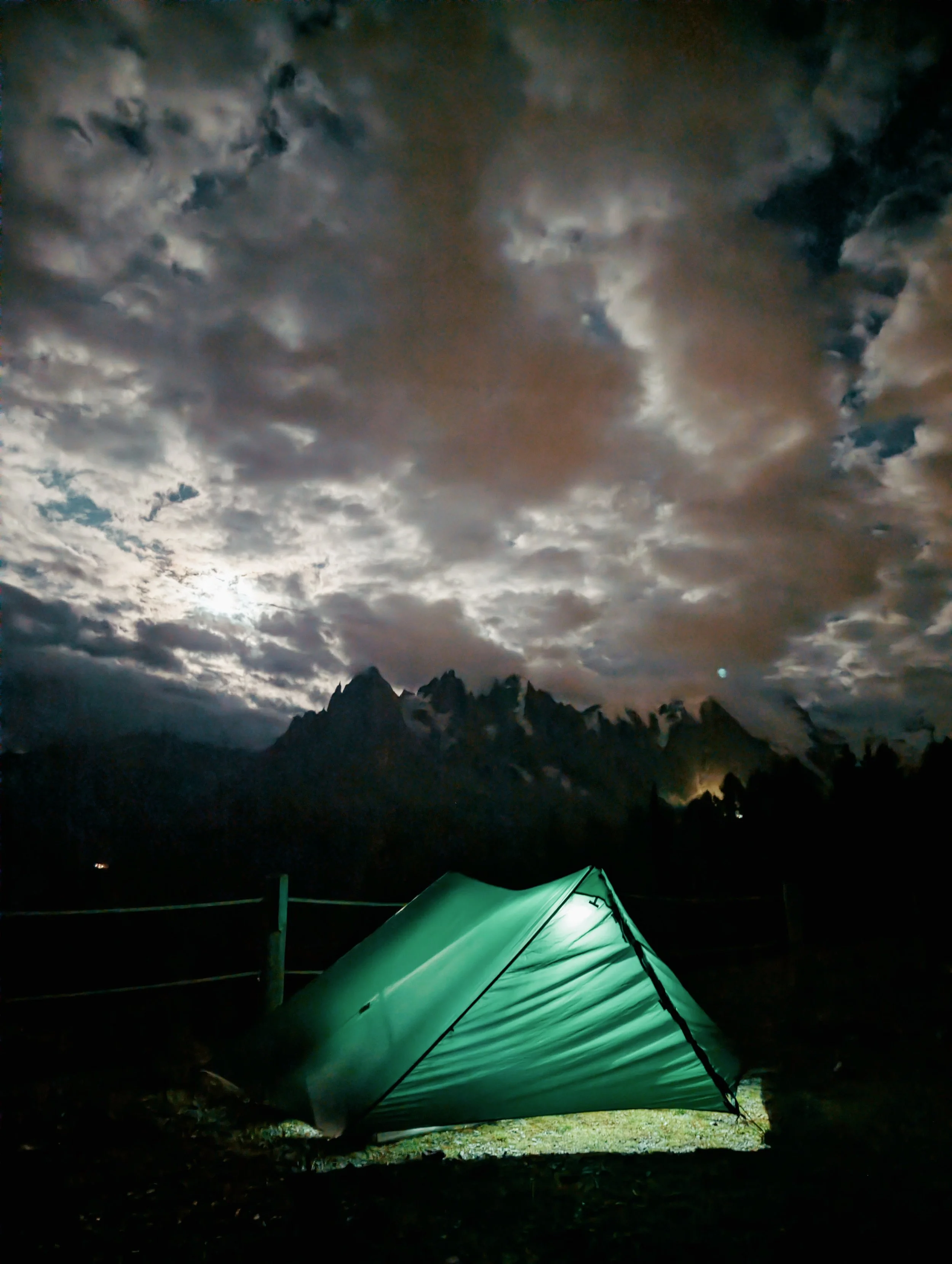
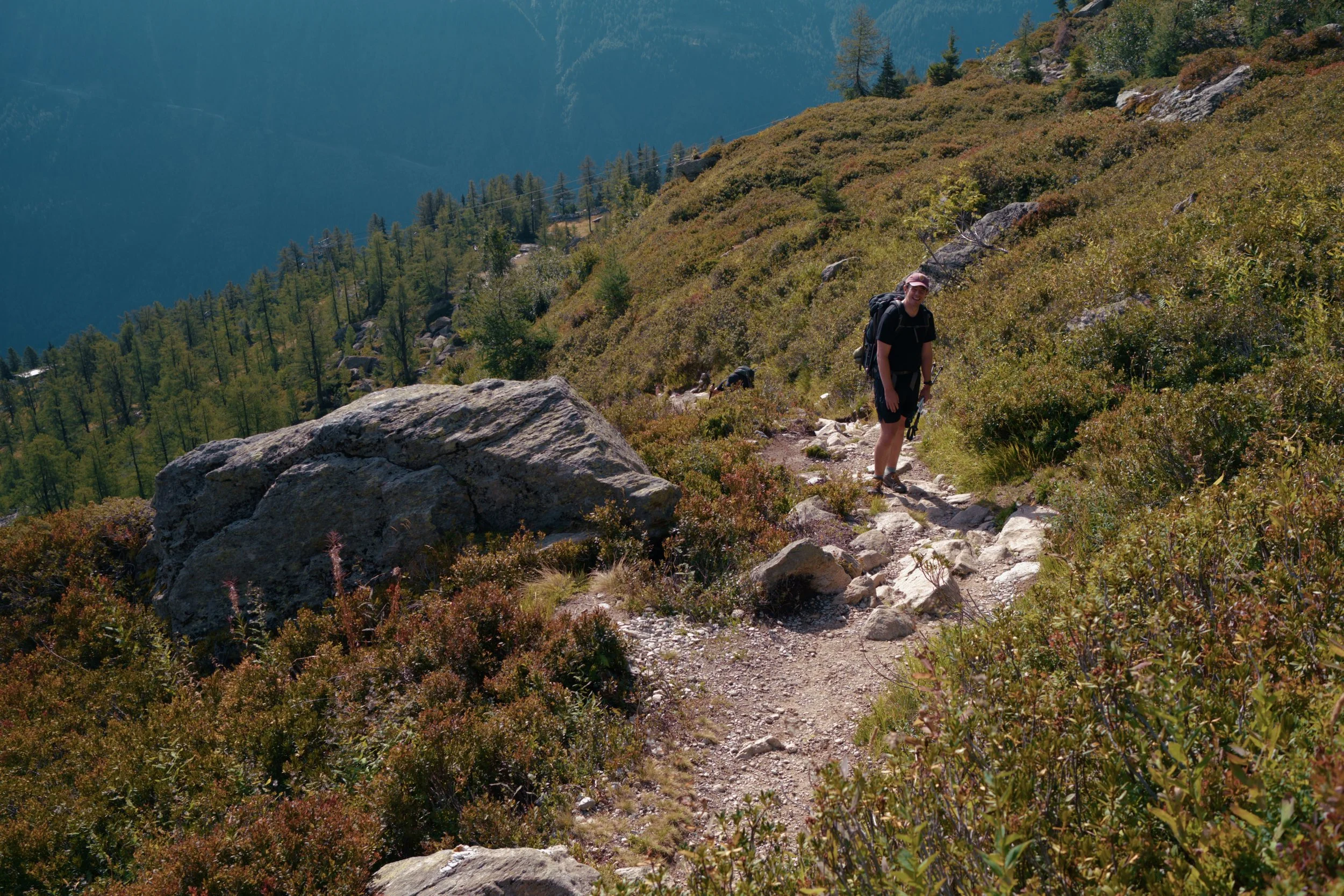
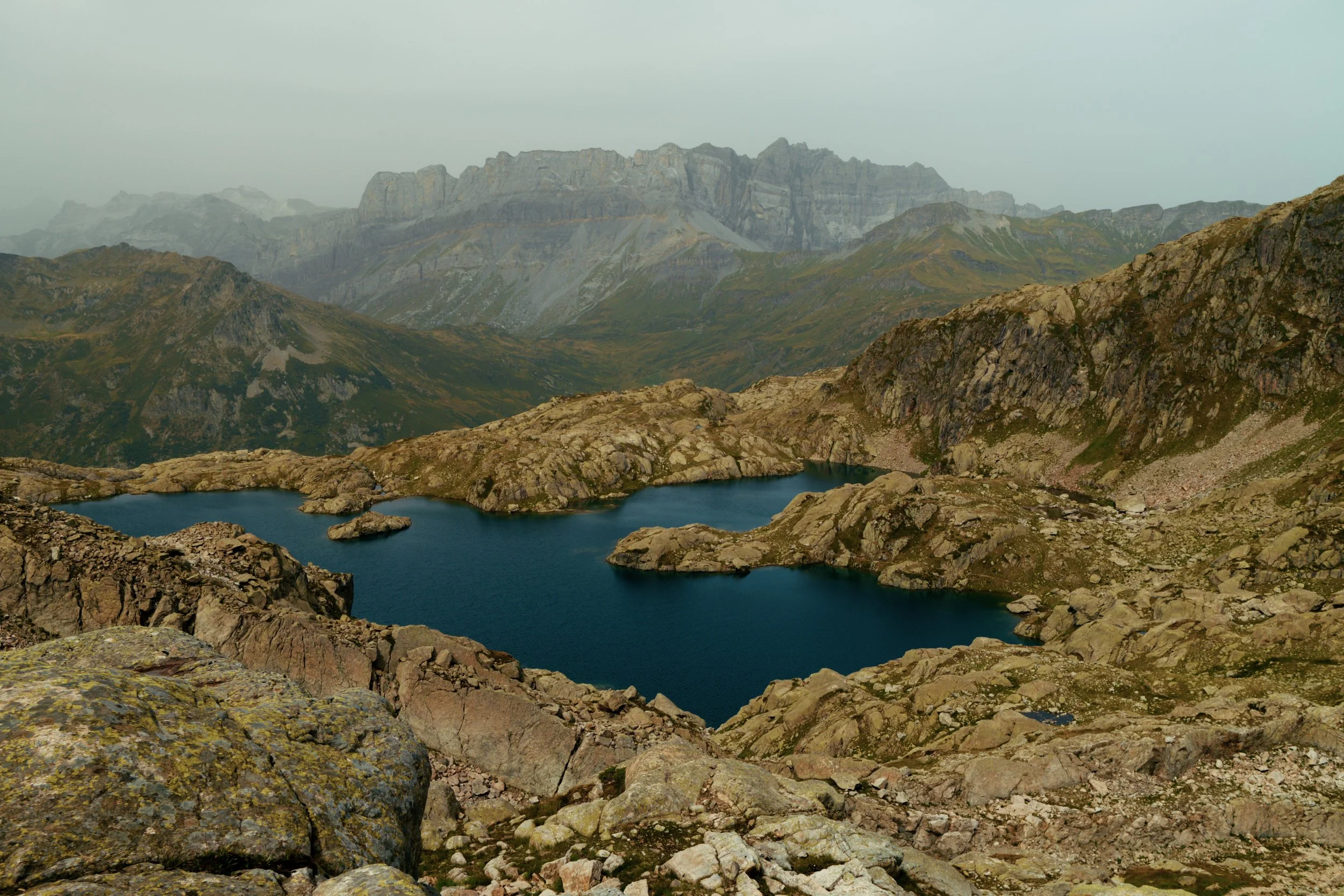
🌲 Scenery - You won’t be disappointed. Snowtop mountains, dramatic cliffs, glacial lakes, cute towns, amazing alpine forest and just generally, good vibes.
❌ Unexpected closures - Refuge de la Croix du Bonhomme was closed for renovations.
🏃 UTMB - The ultramarathon festivities kicked off in the last week of August. While that brings larger crowds and busier trails, the atmosphere is fantastic.
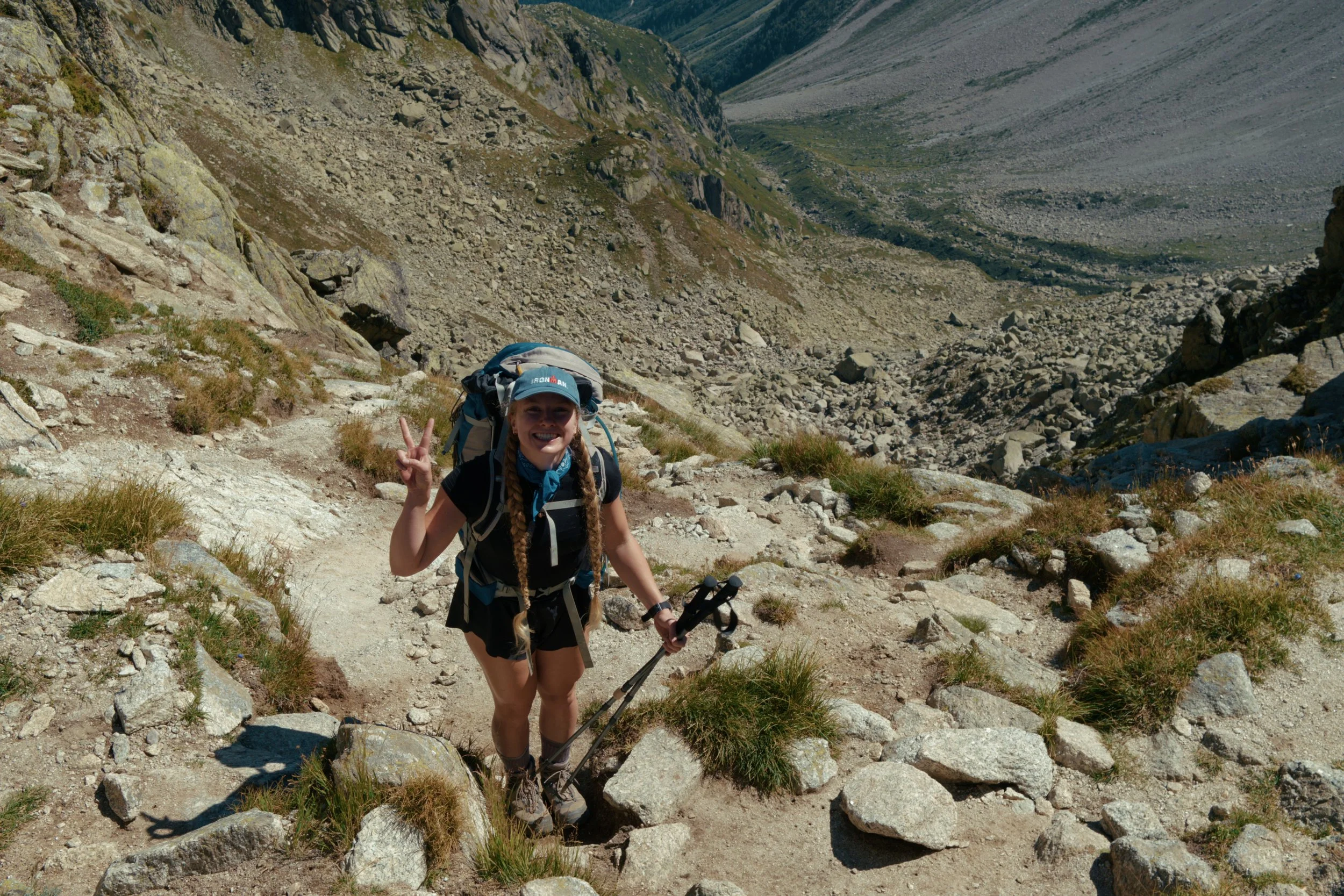
🤗 Social tip - Greet fellow walkers on the trail. The TMB is one of the most social long-distance routes in the world, where you’ll meet people from all sorts of backgrounds.
For a more detail breakdown of the trip along with photos, maps (GPX) and a stage-by-stage itinerary check out the following guide:
That’s it for now! With summer drawing to a close I’ll be hanging up my boots for a while, though I’ll still get out for shorter local trips around the UK - and I’m already planning for an even bigger 2027. Stay tuned!
Trip Report - Solo hiking the Alta Via 1 in the Dolomites
Hi All!
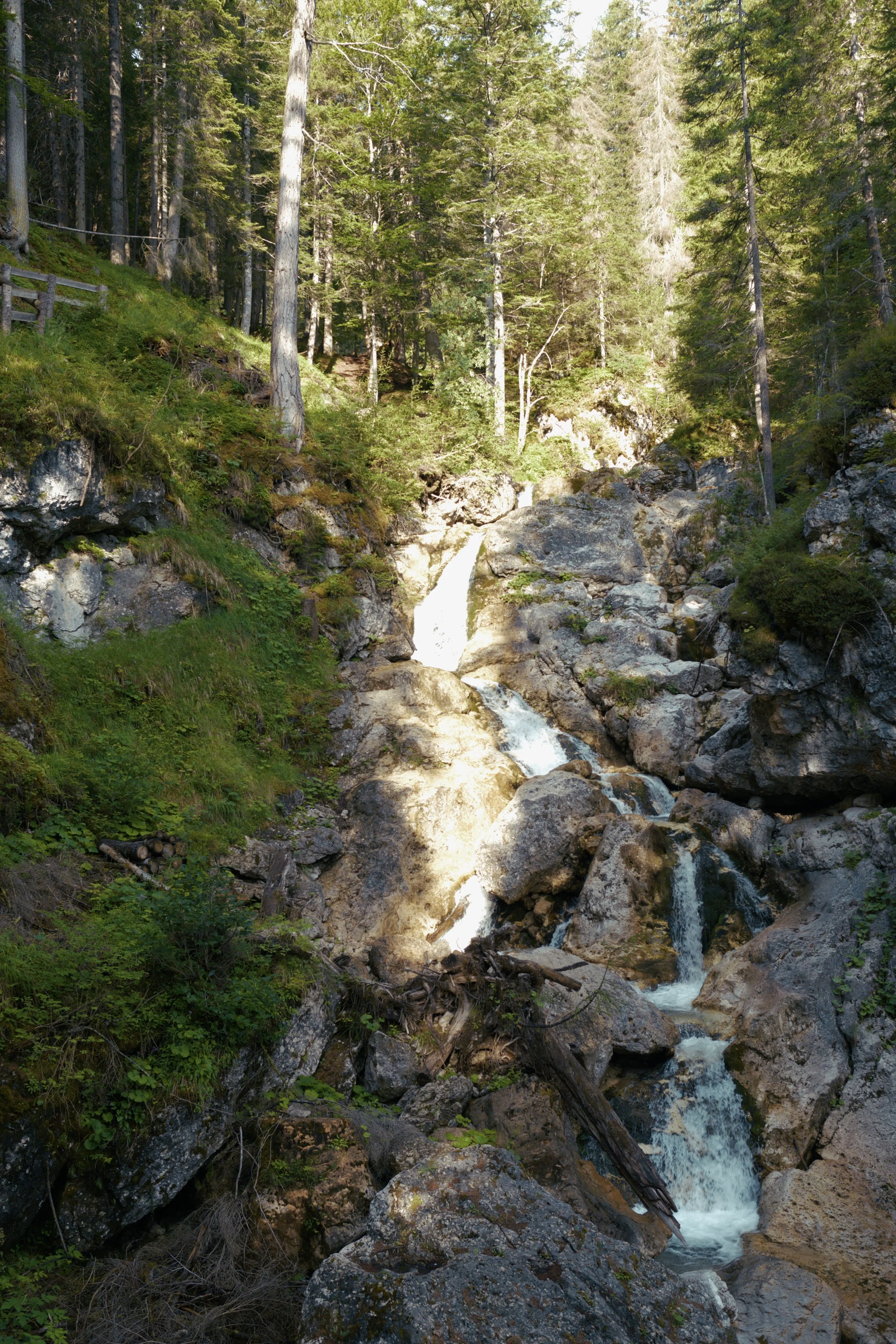
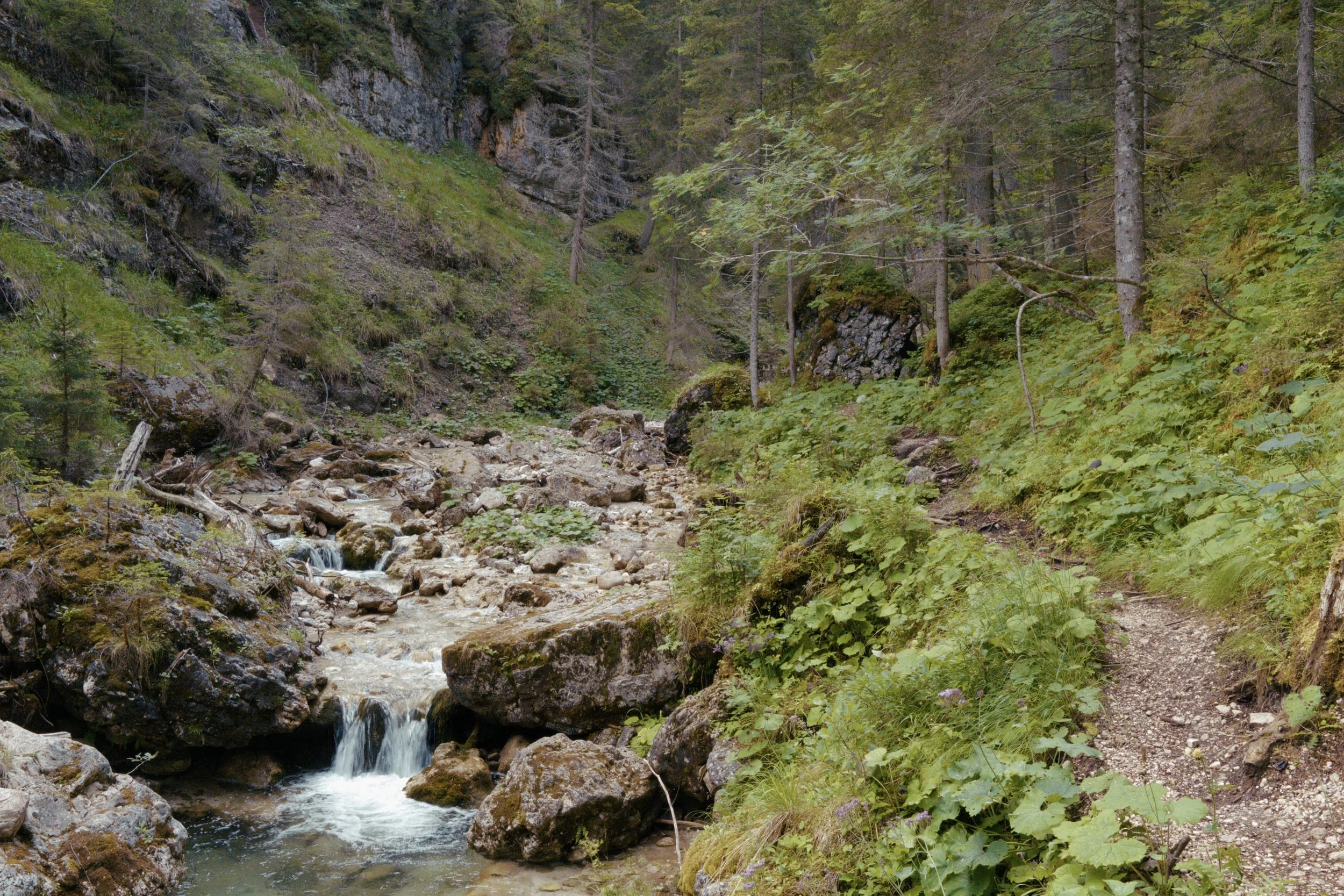
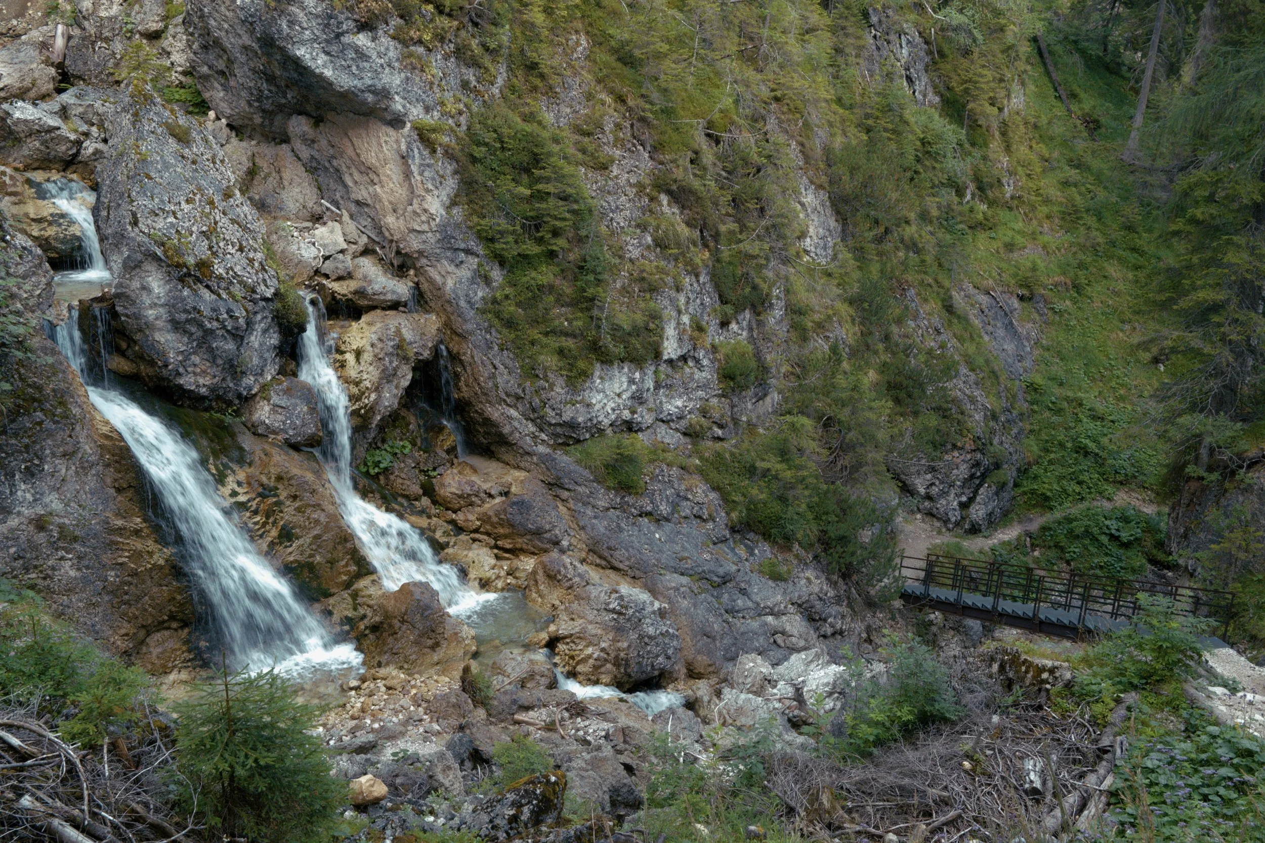
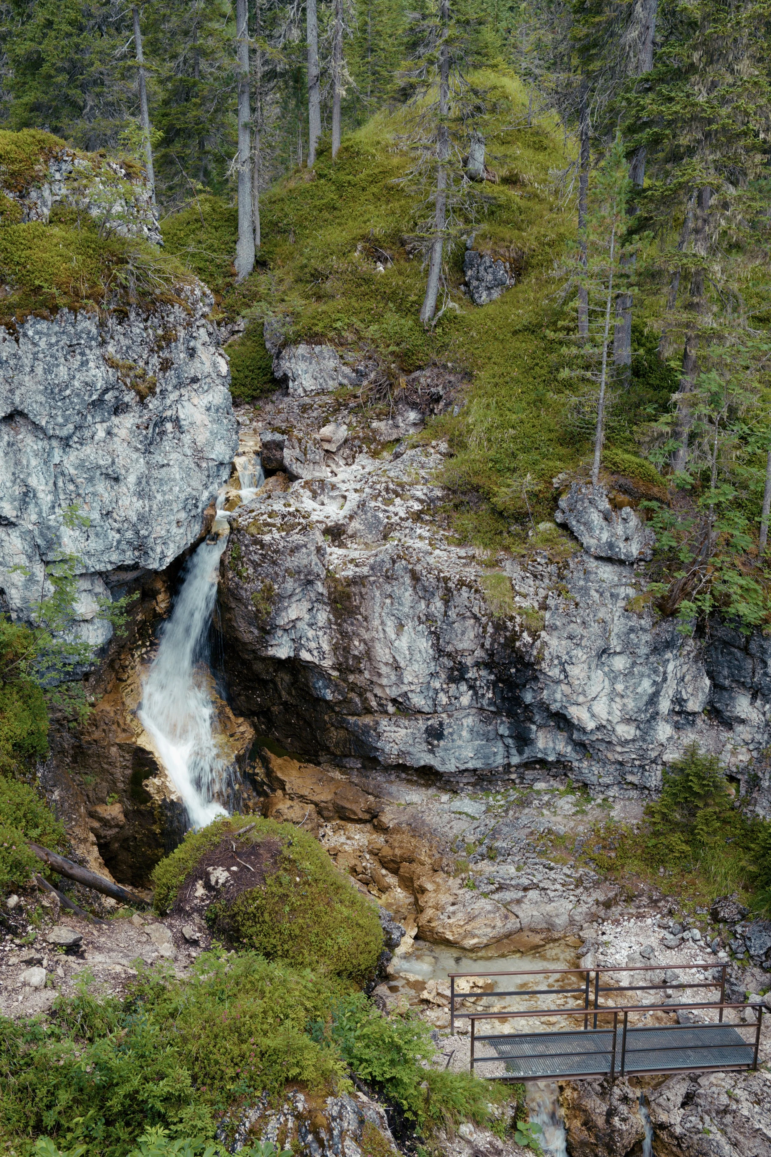
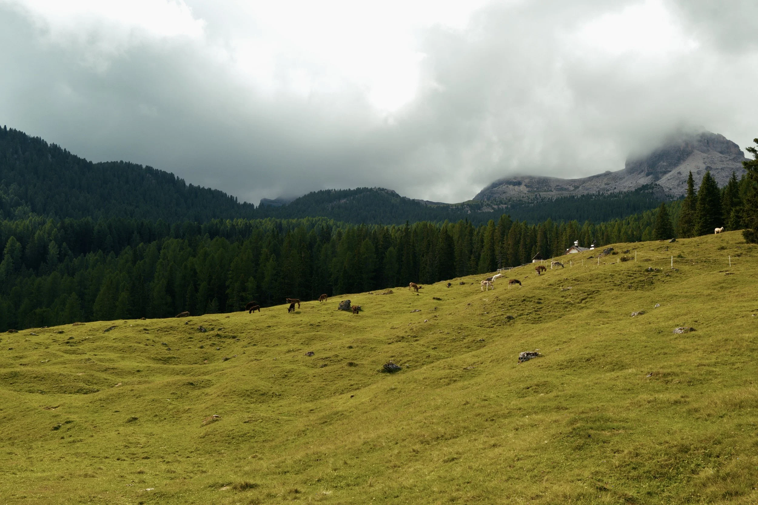
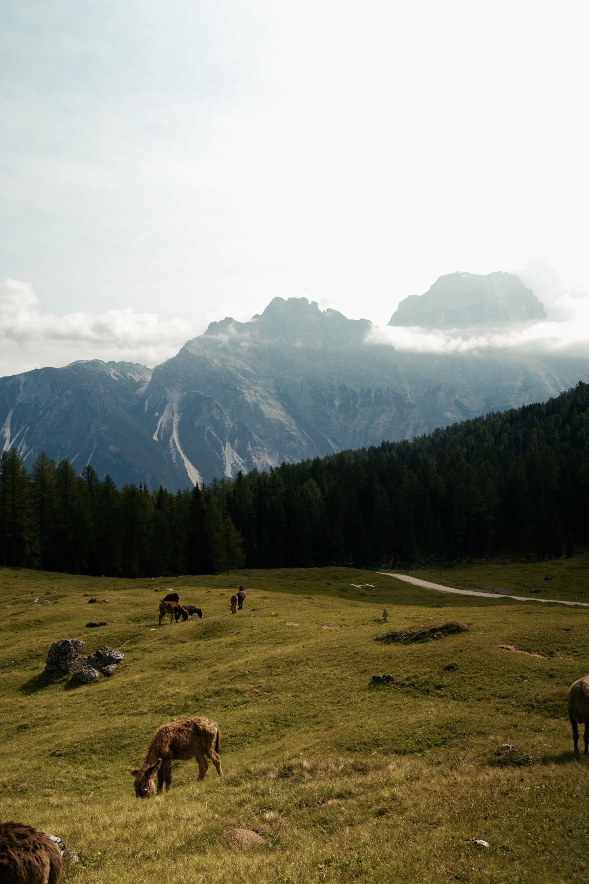
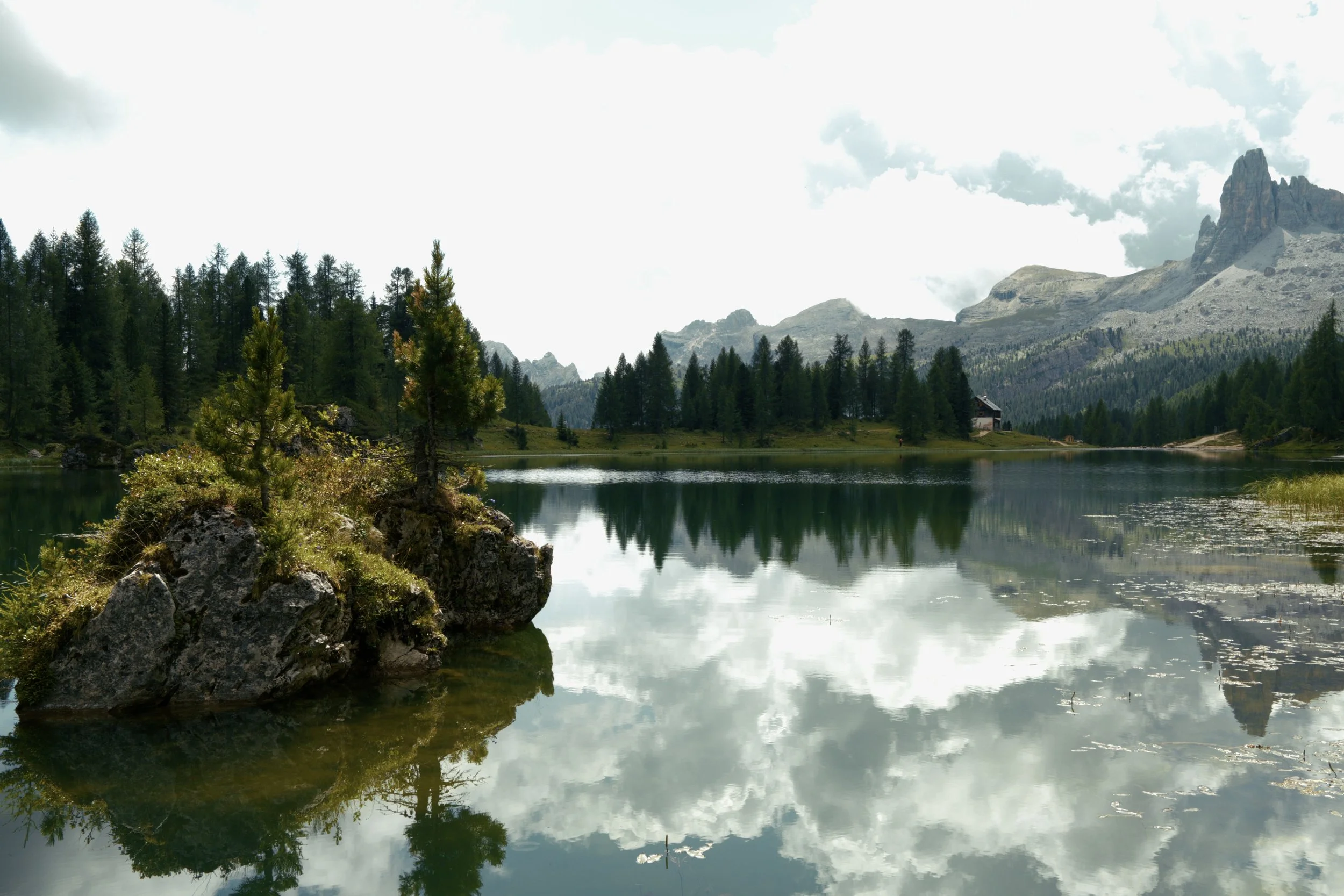
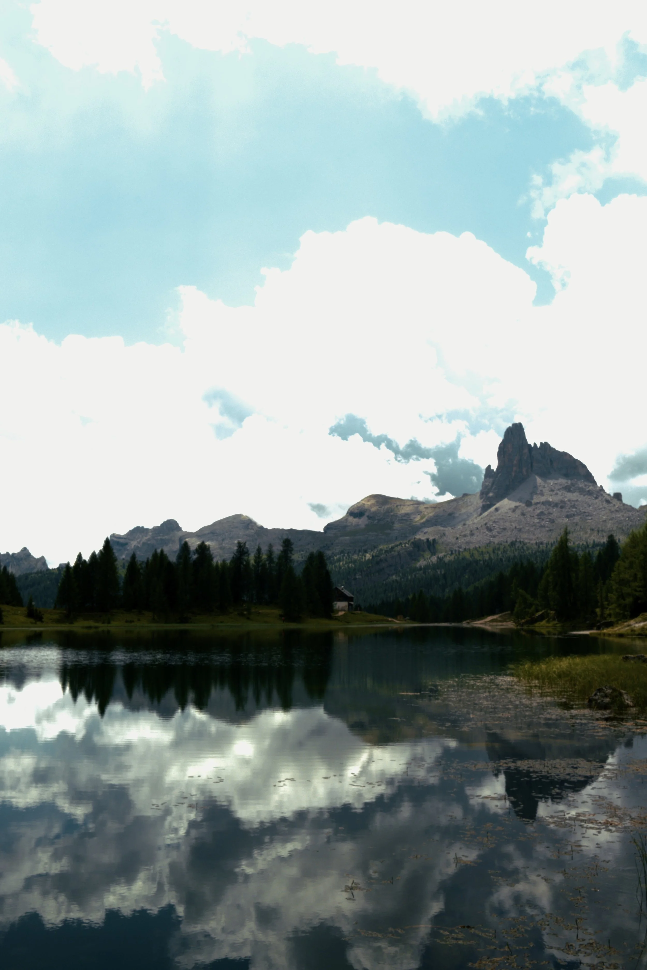
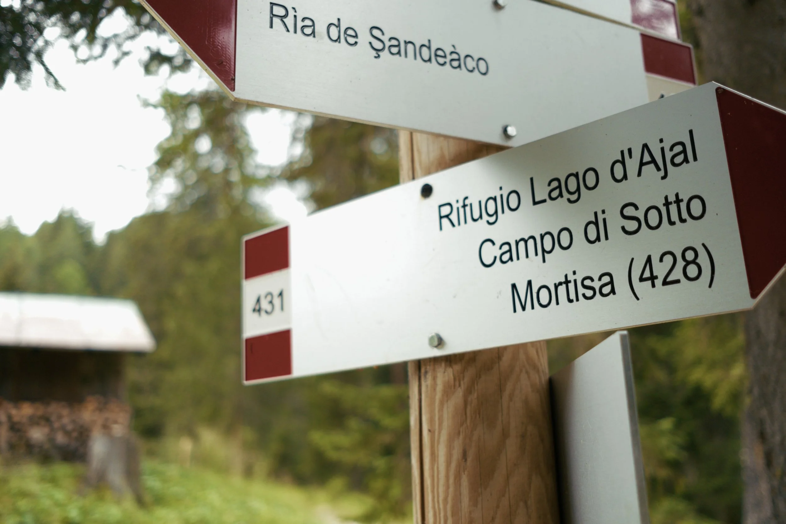
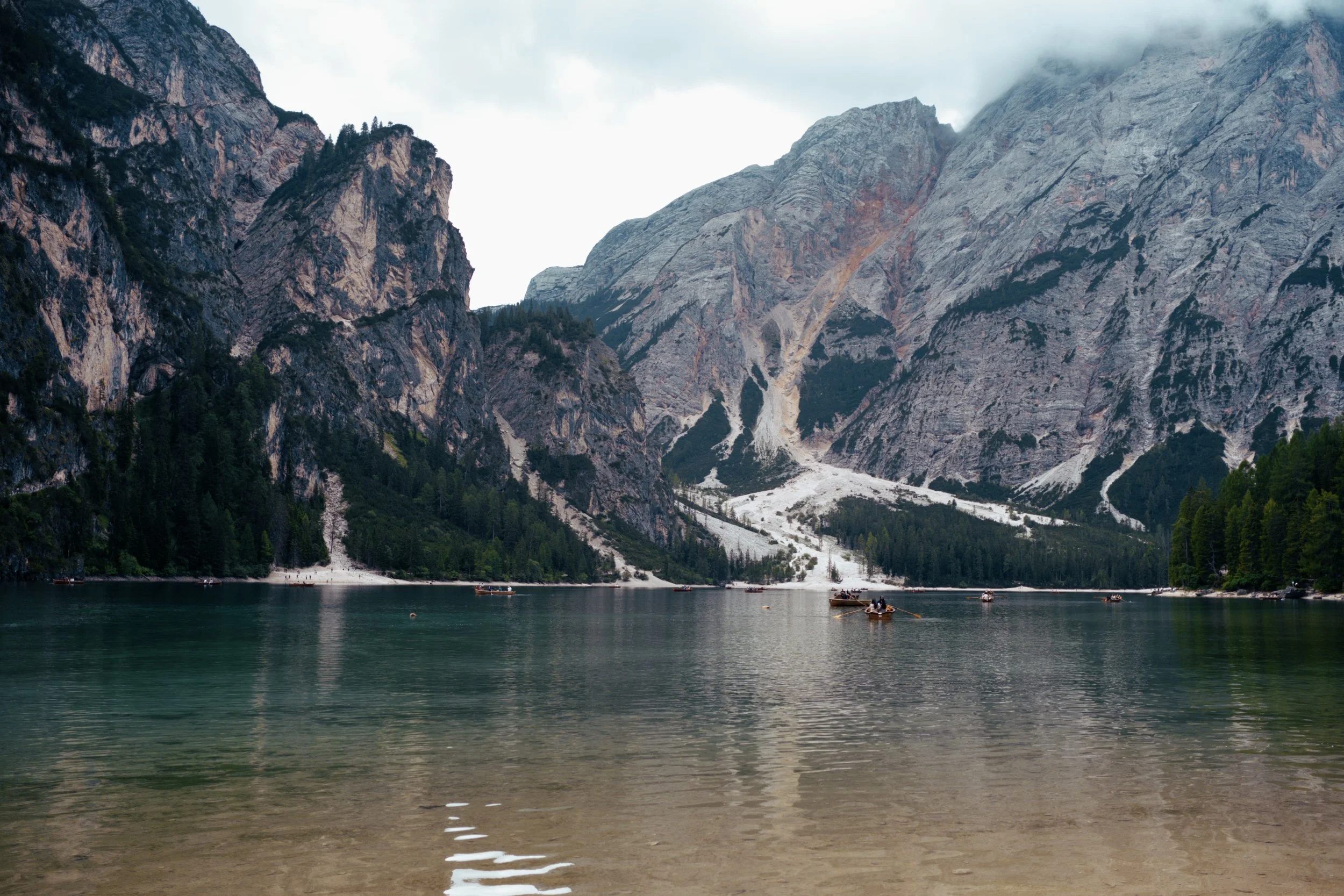
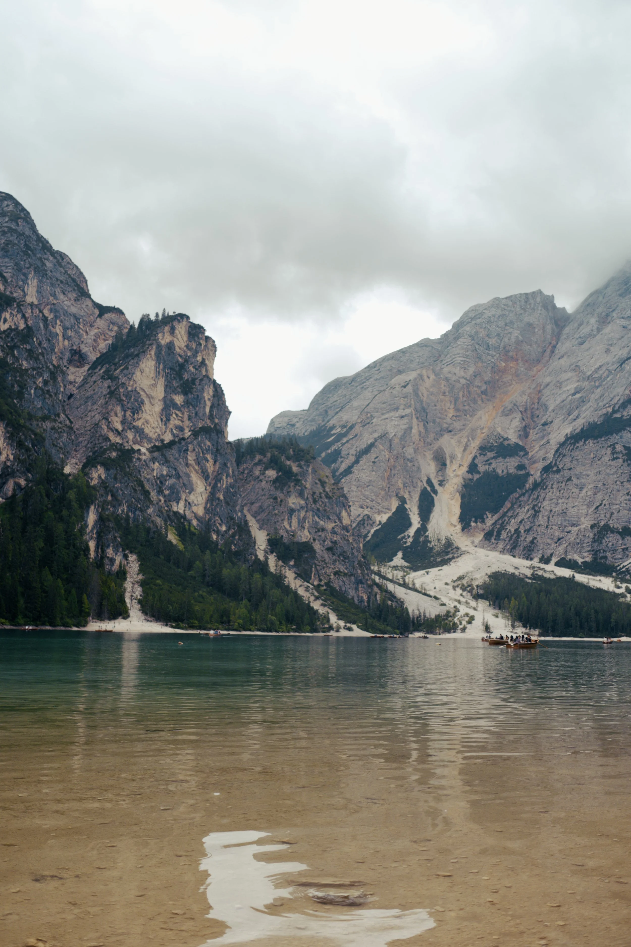
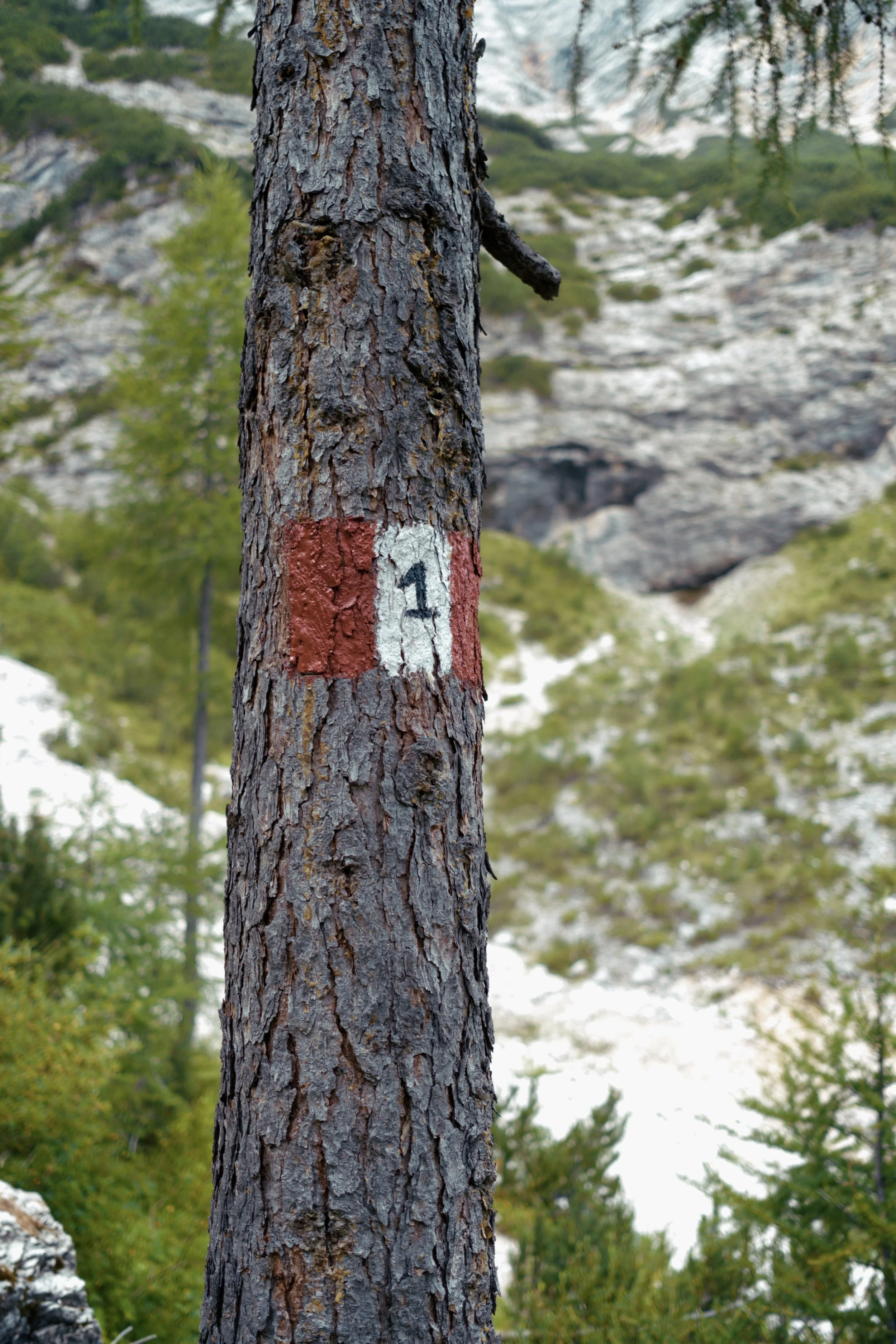
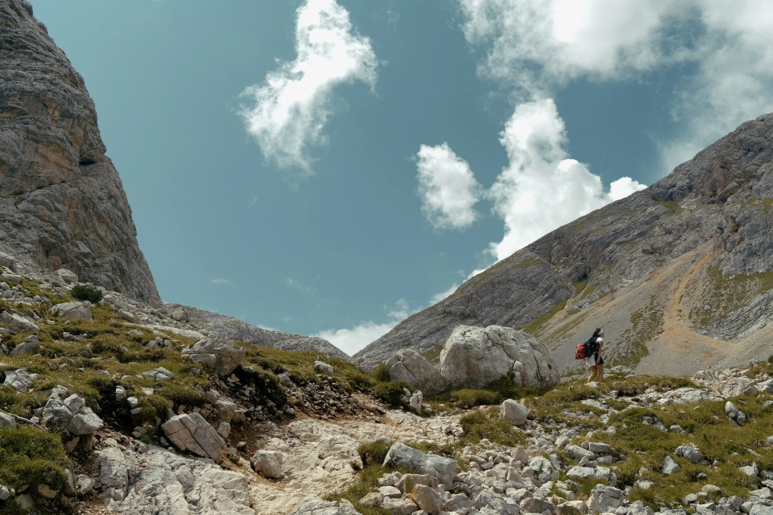
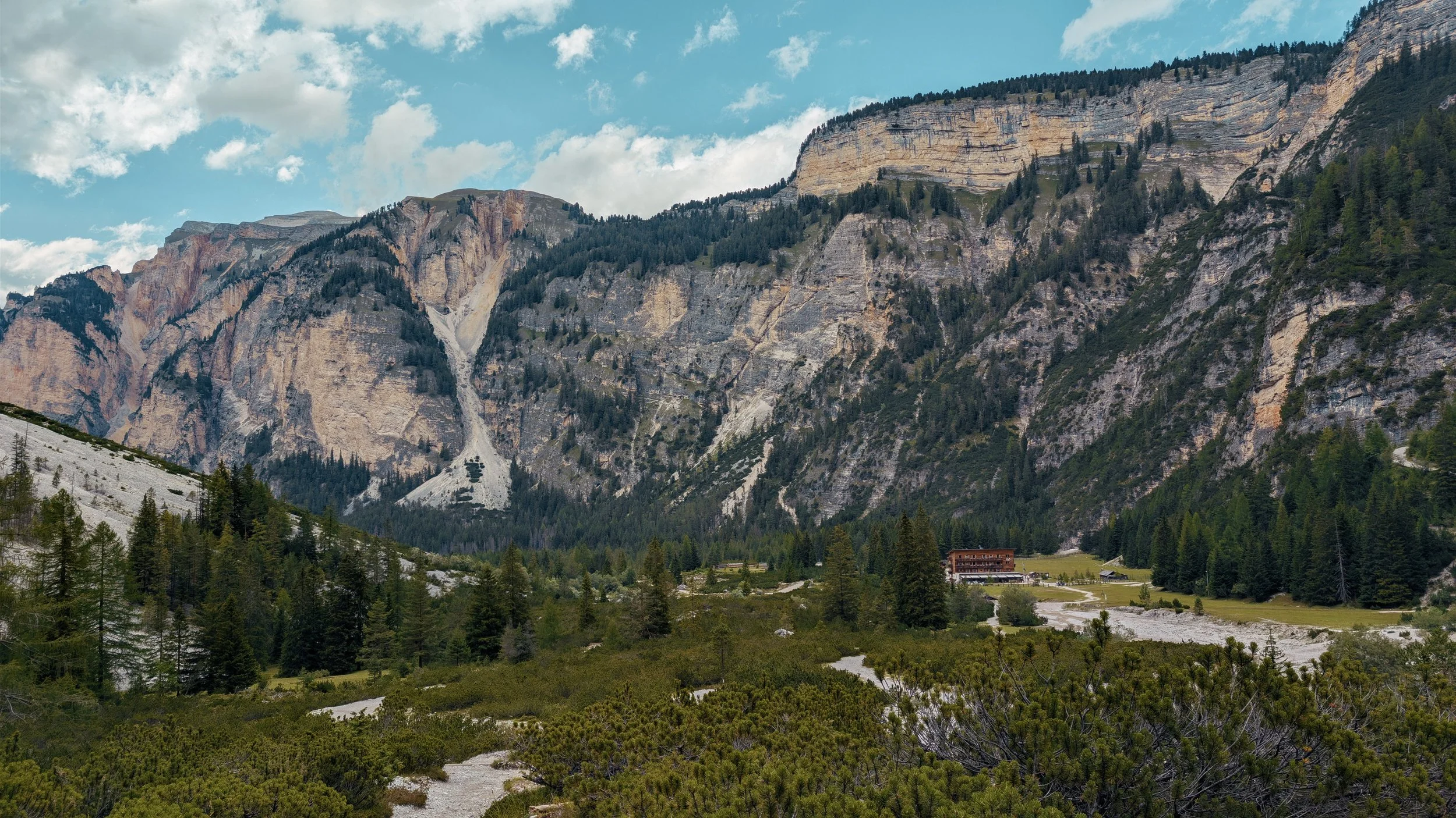
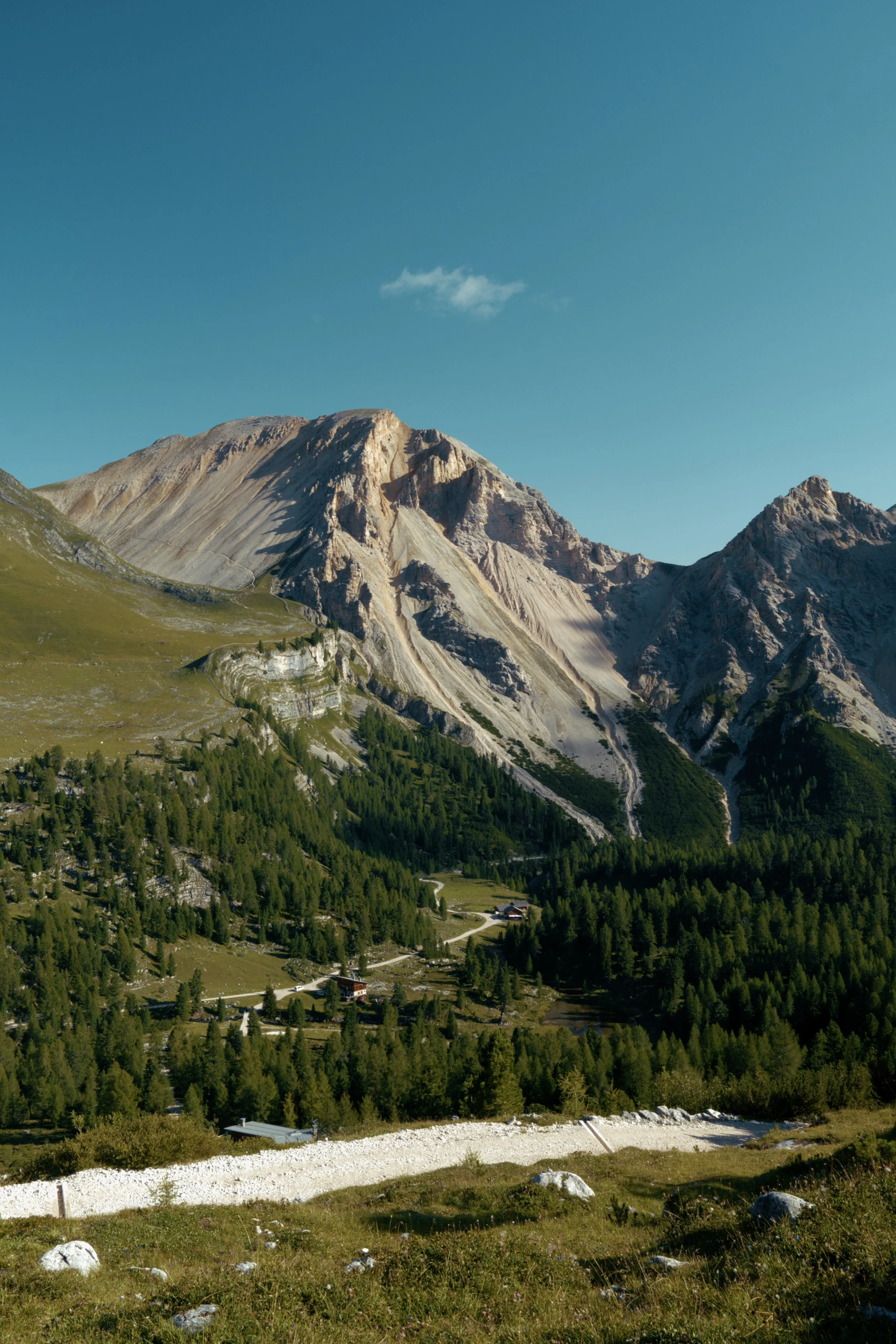
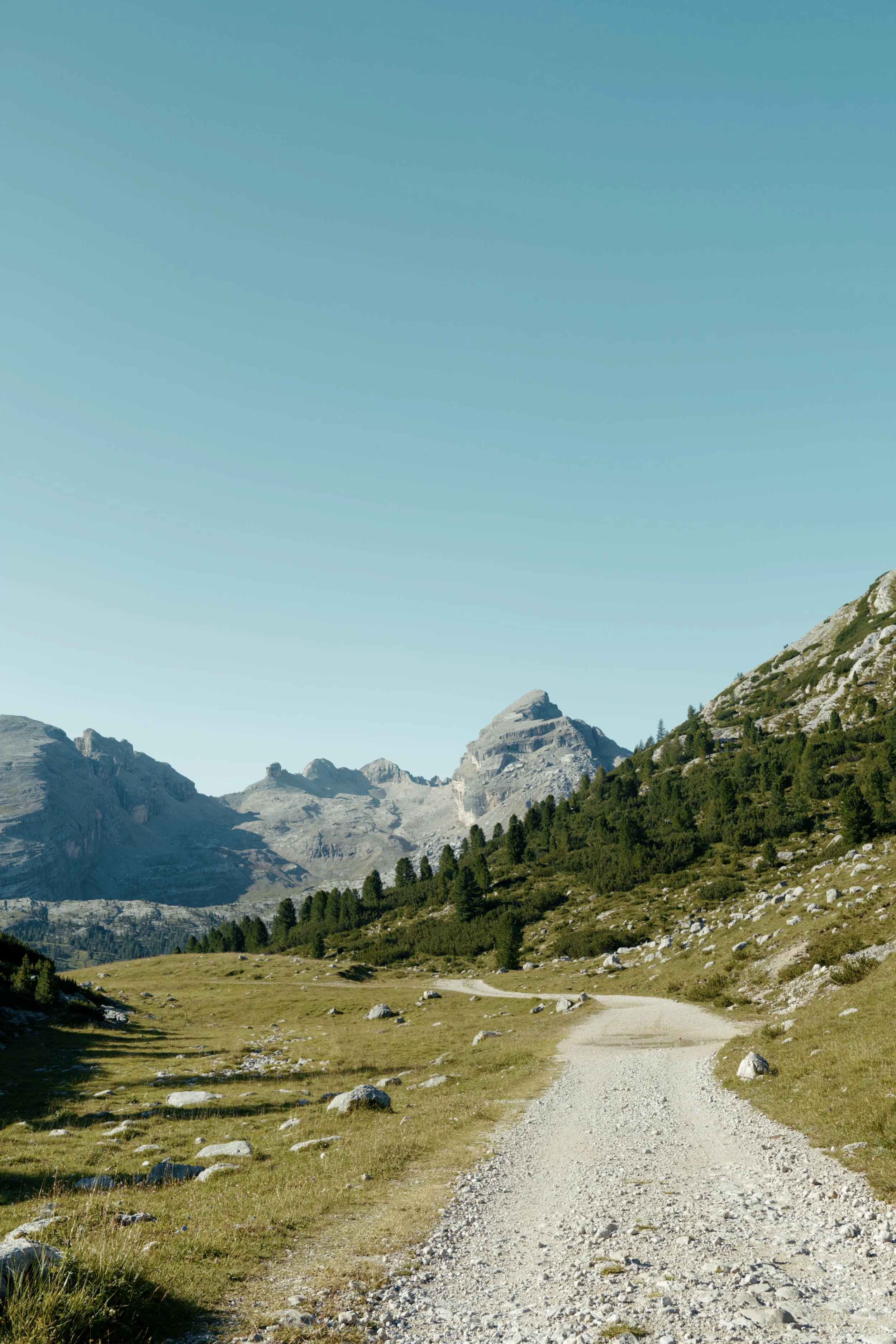
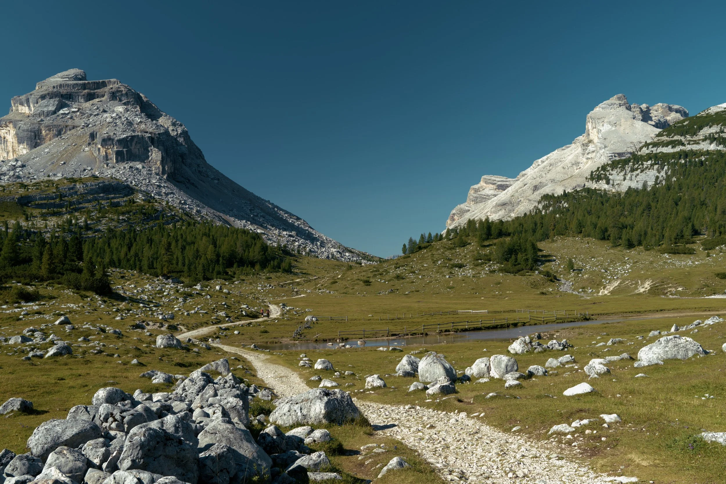
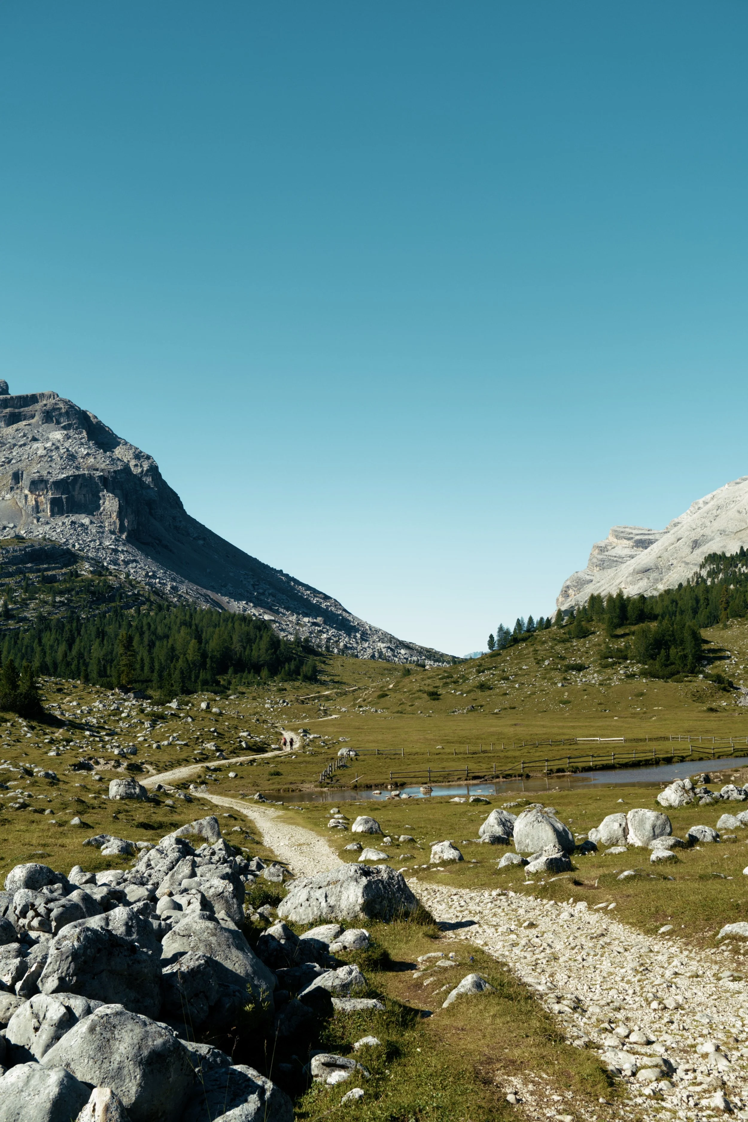
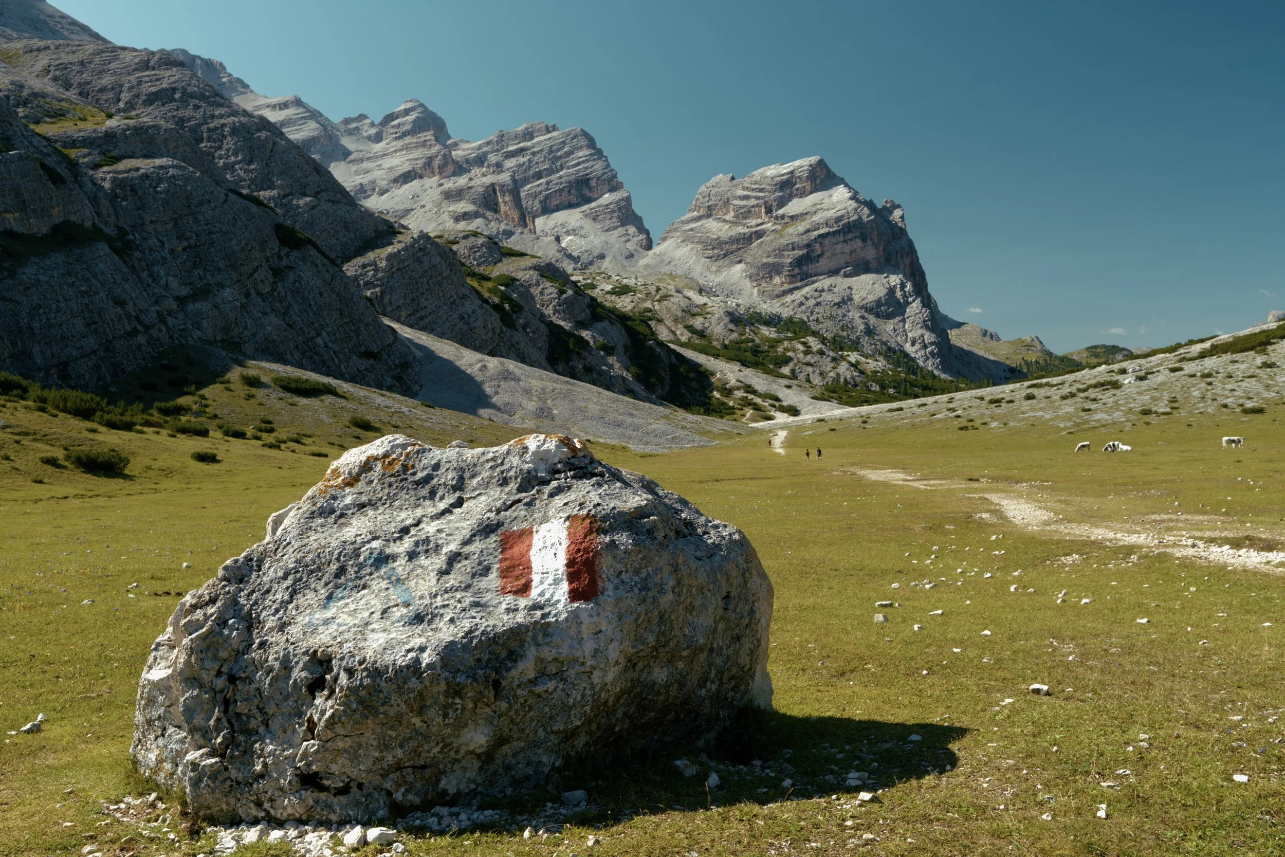
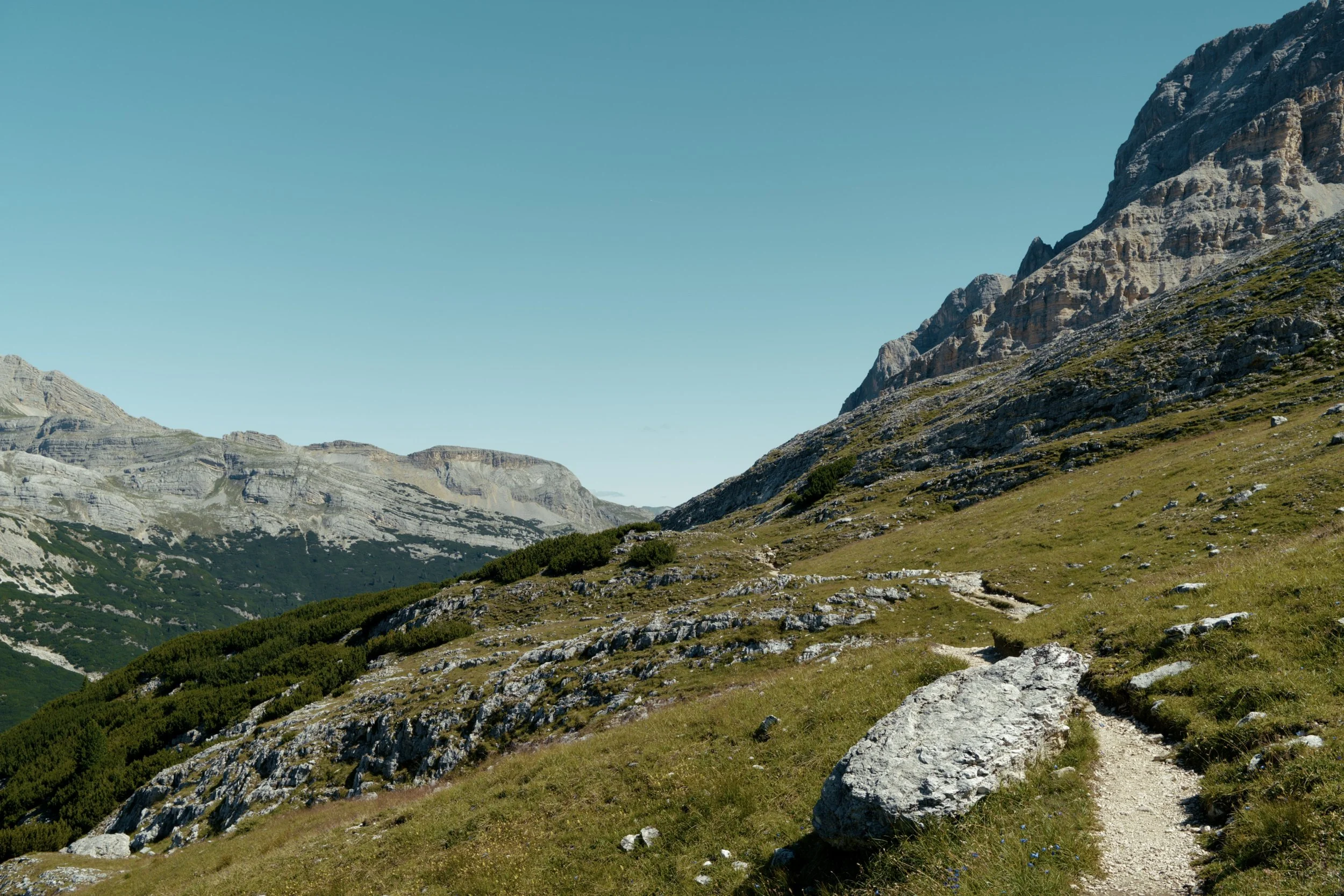
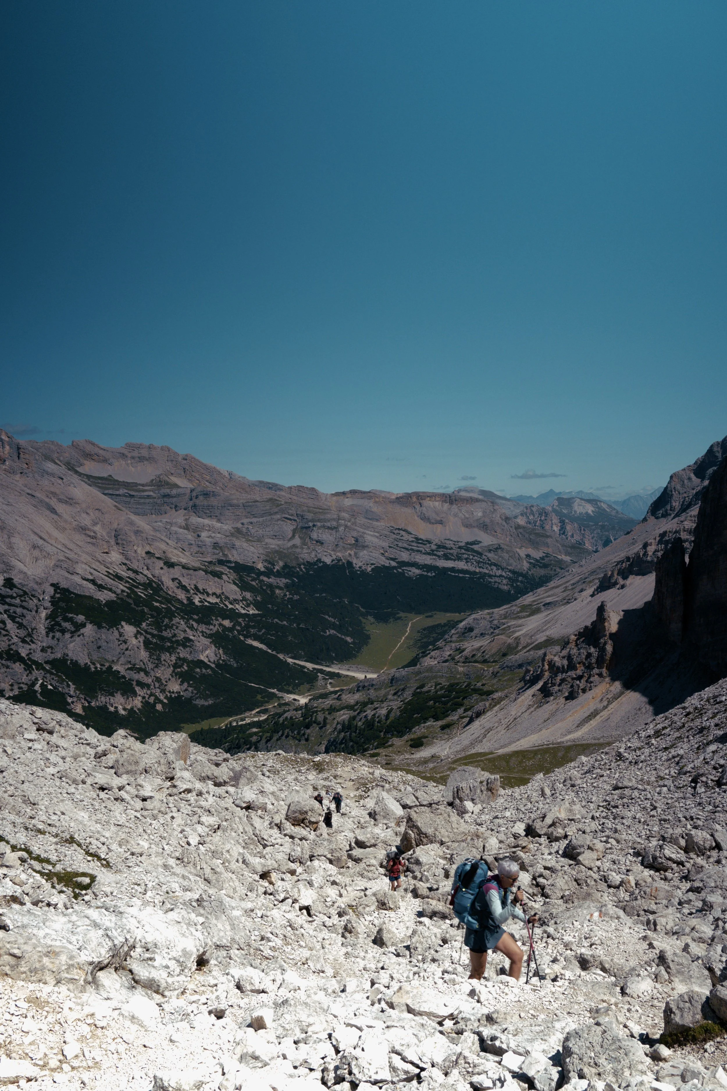
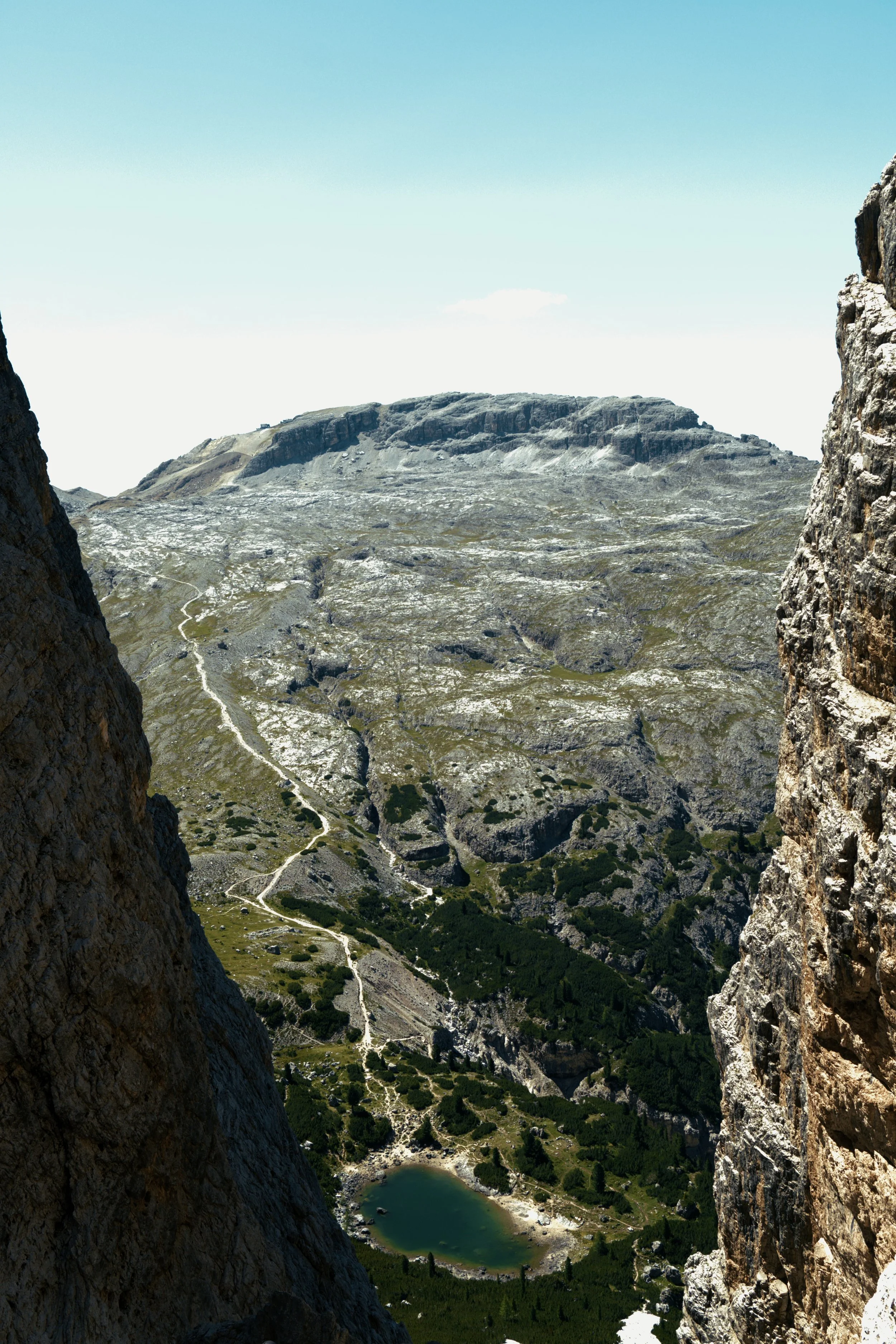
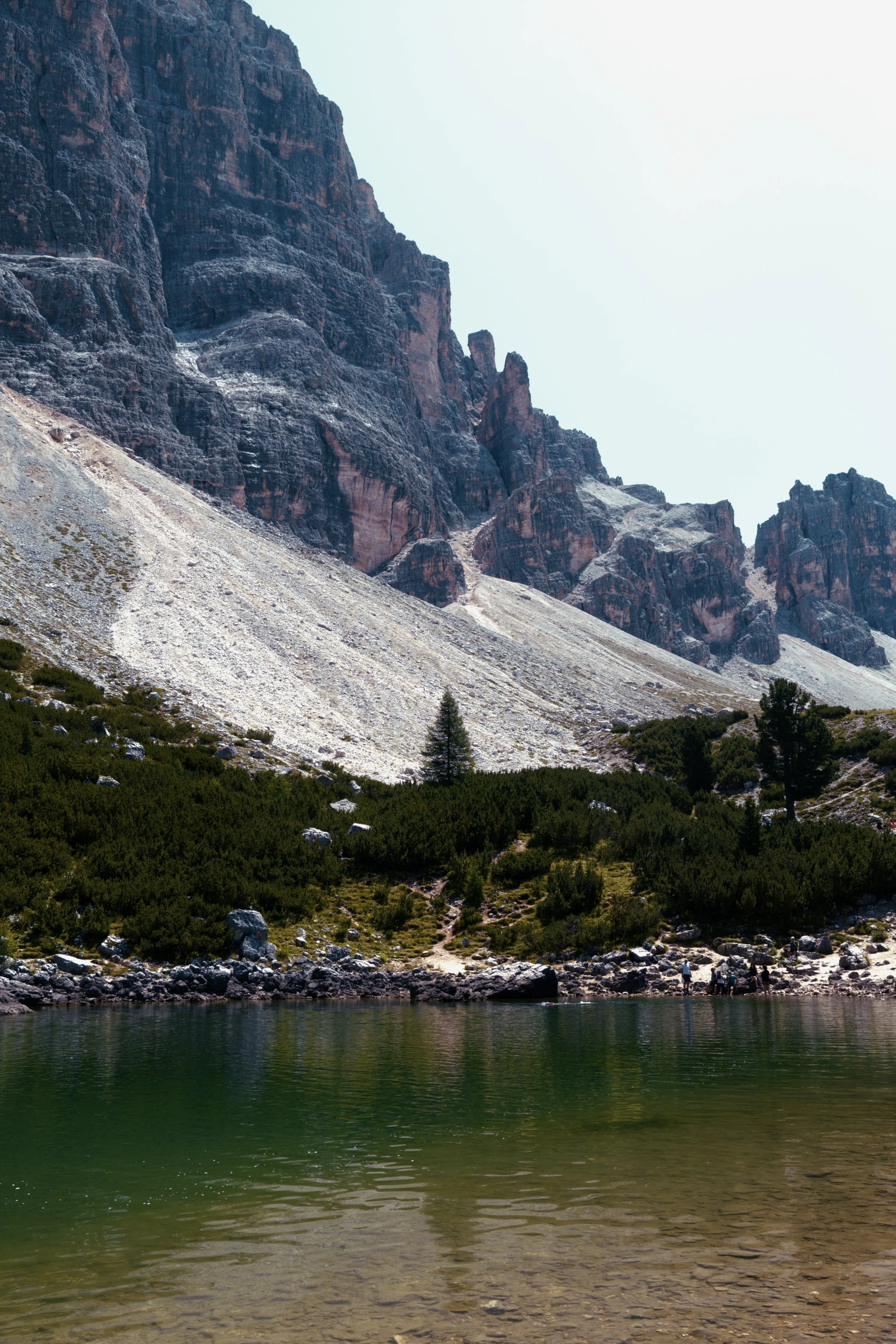
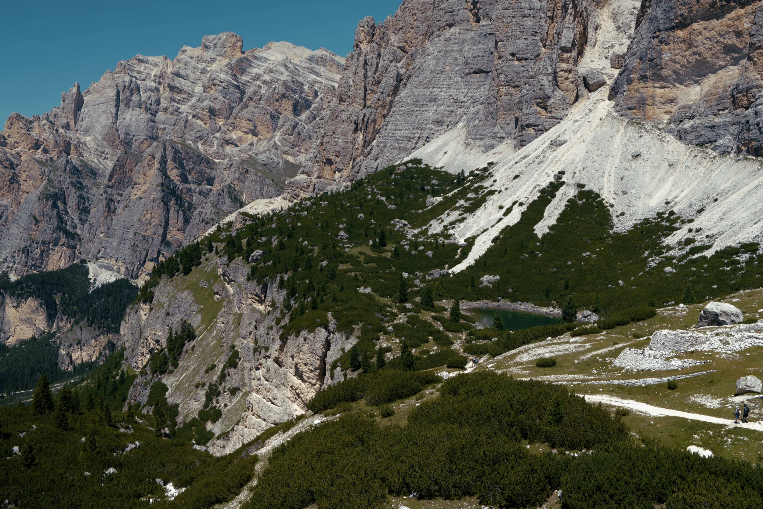
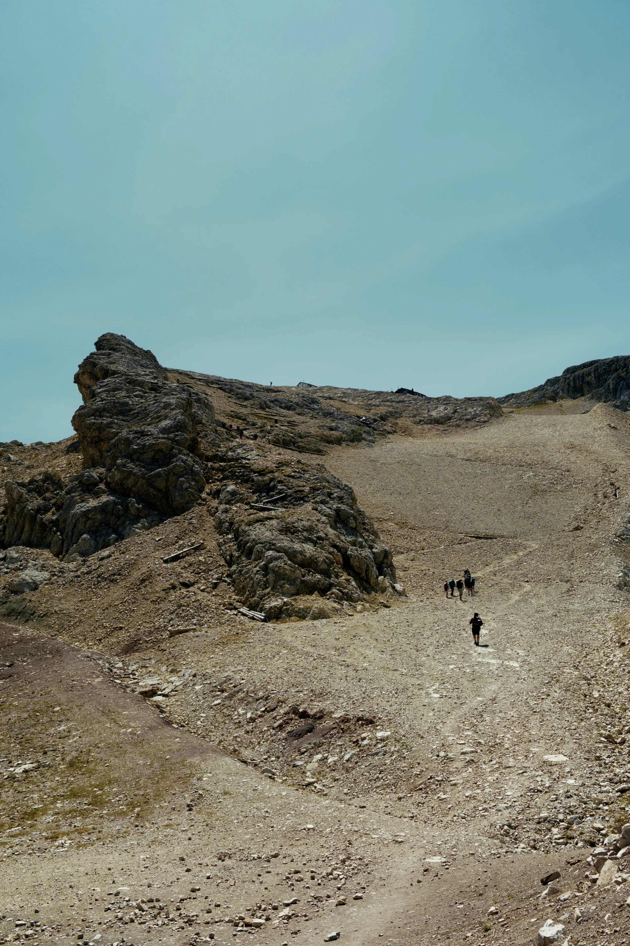
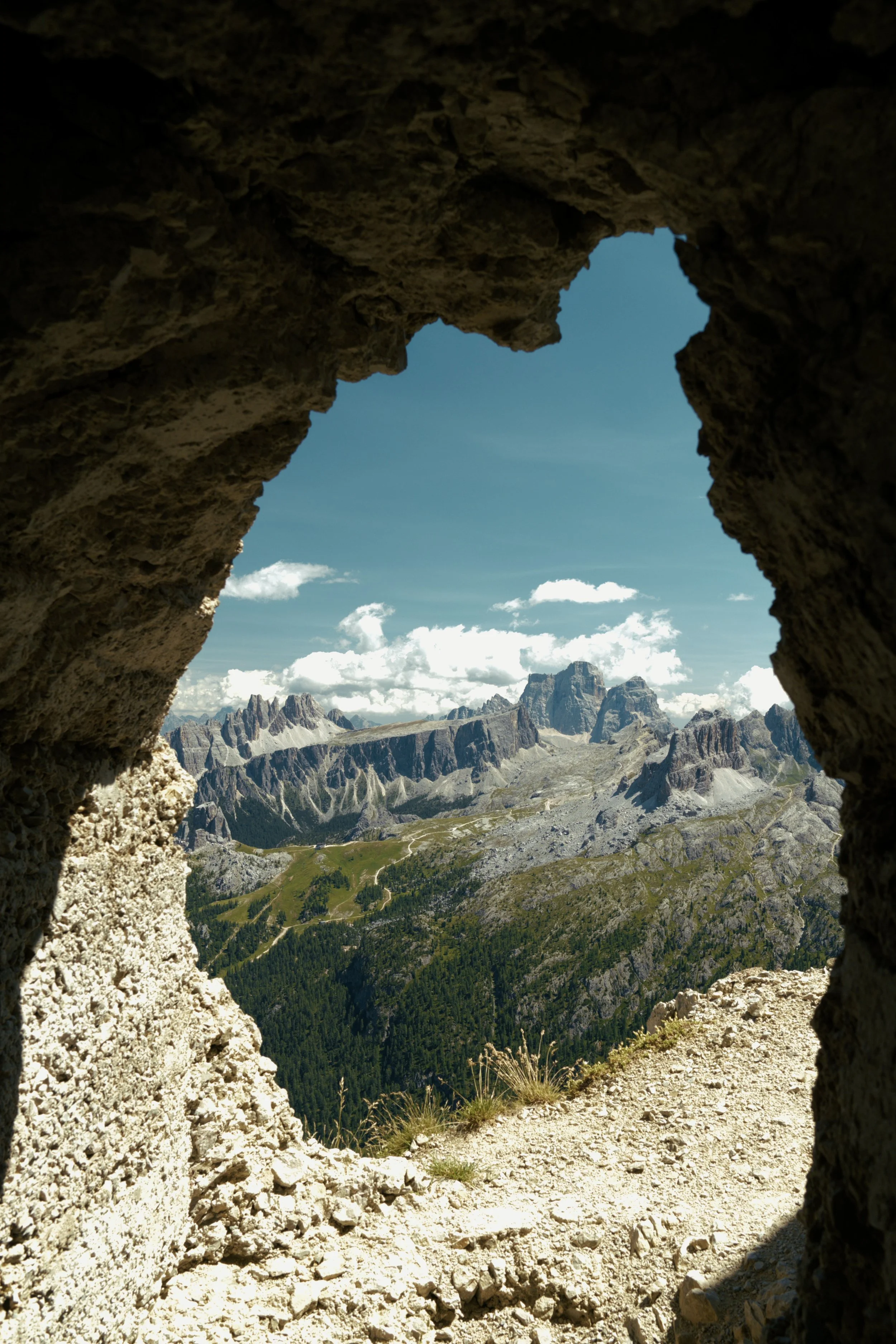
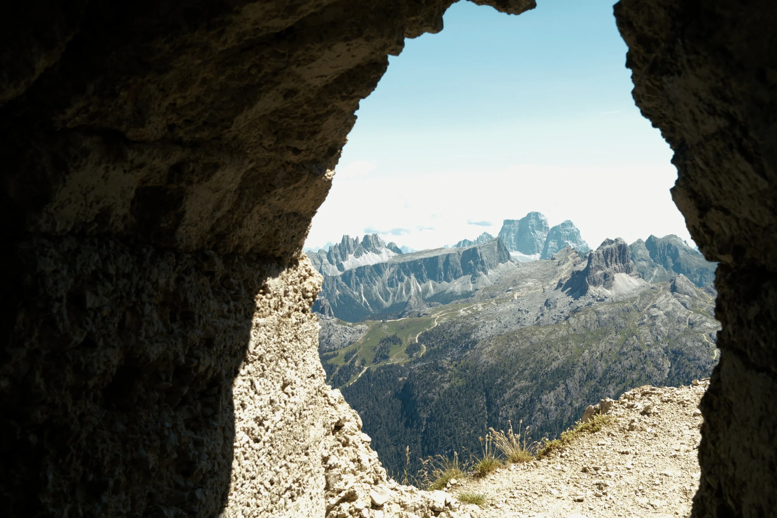
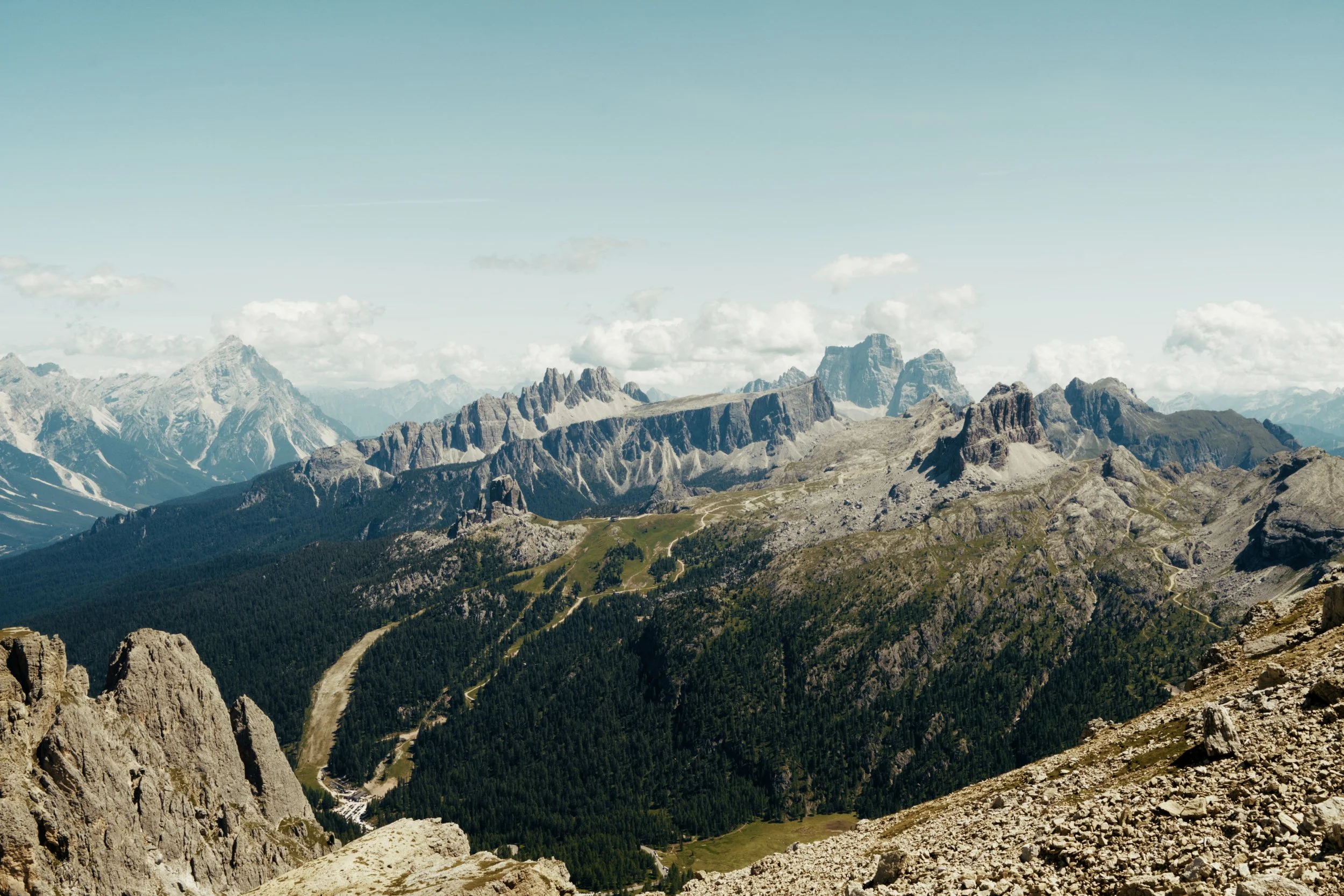
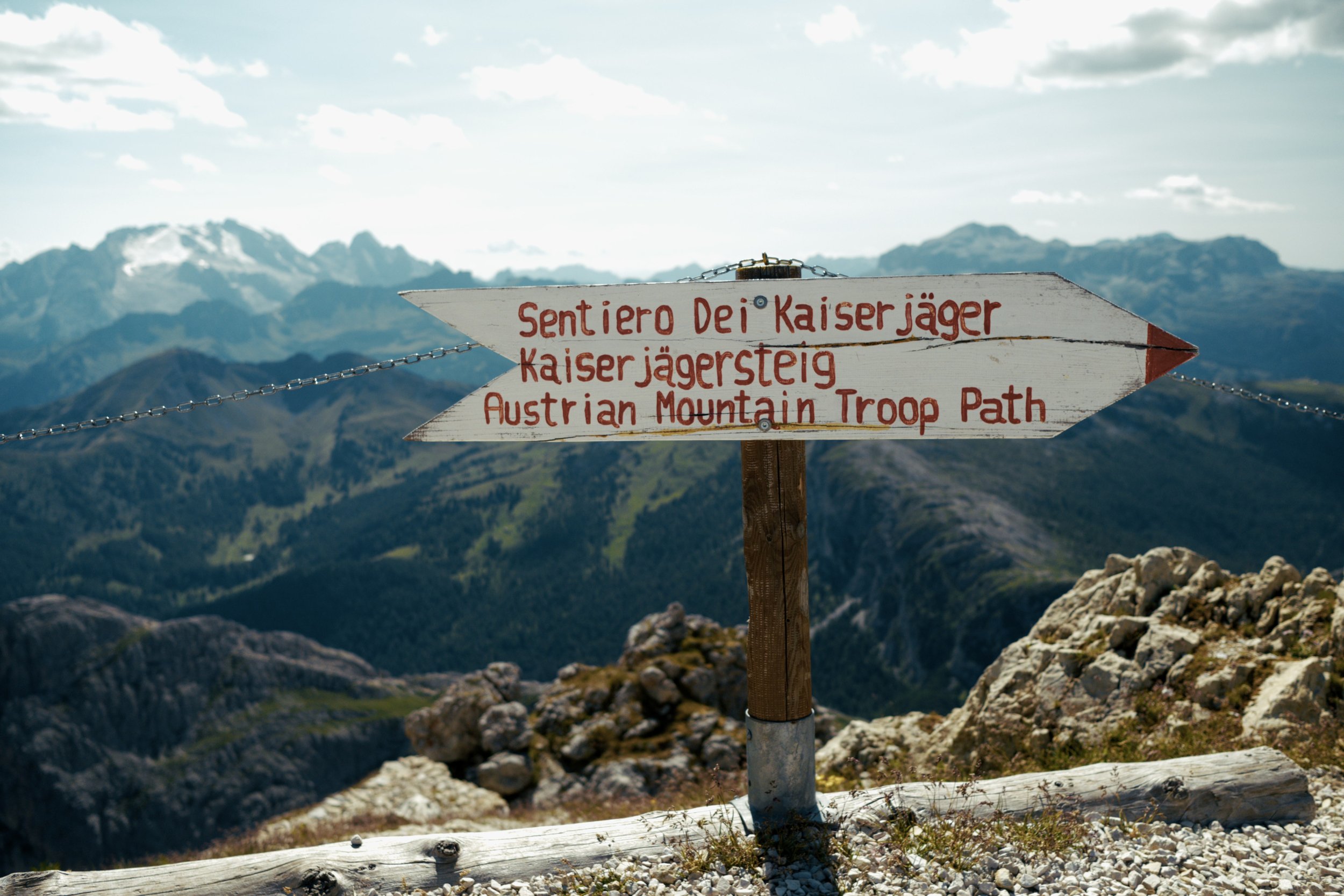
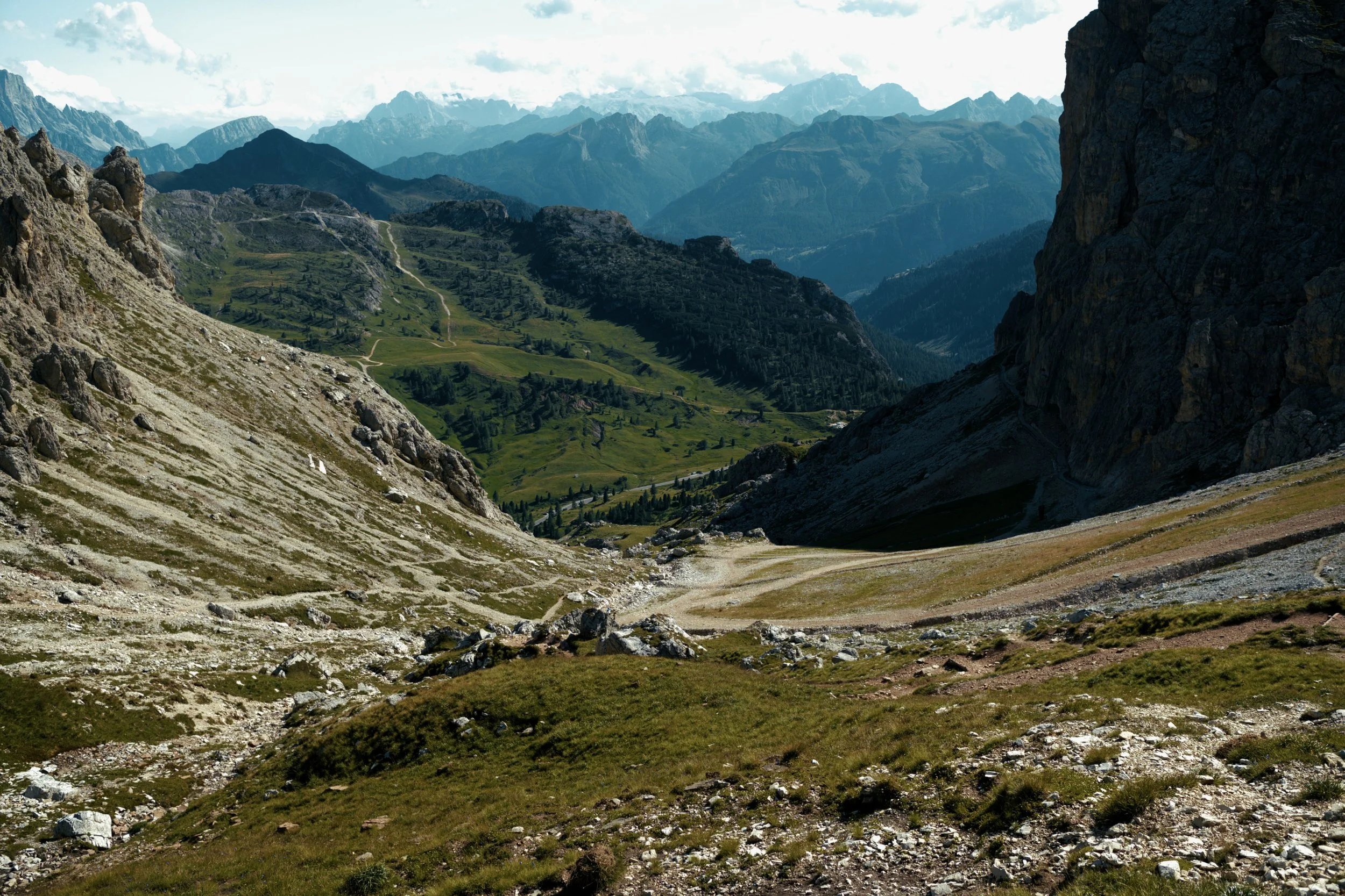
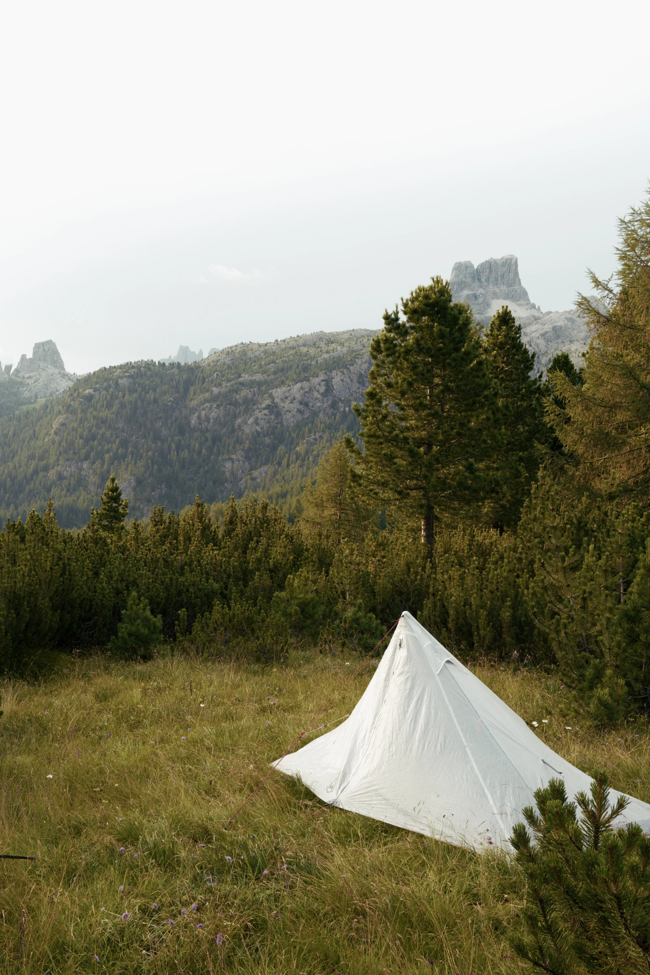
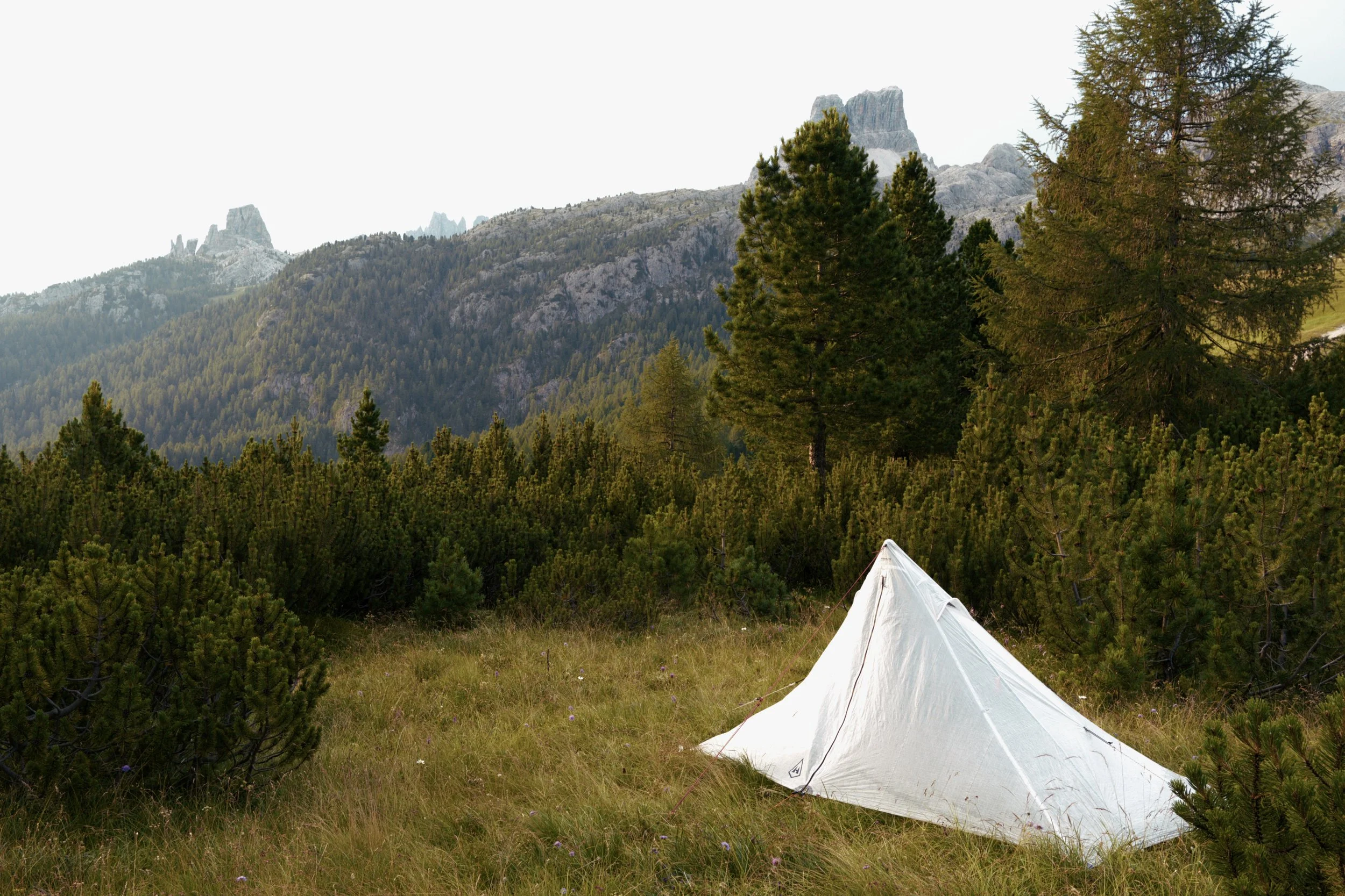
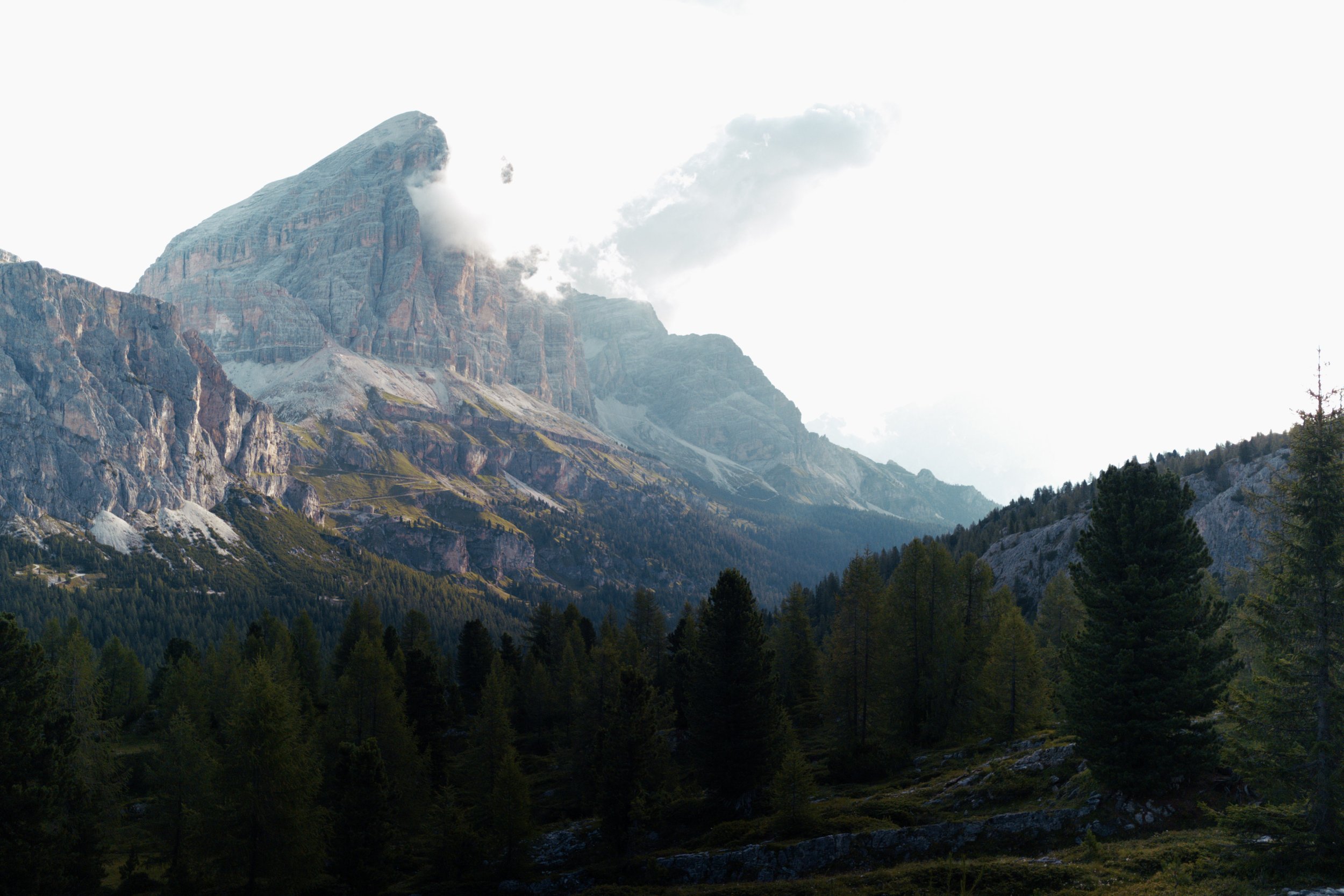
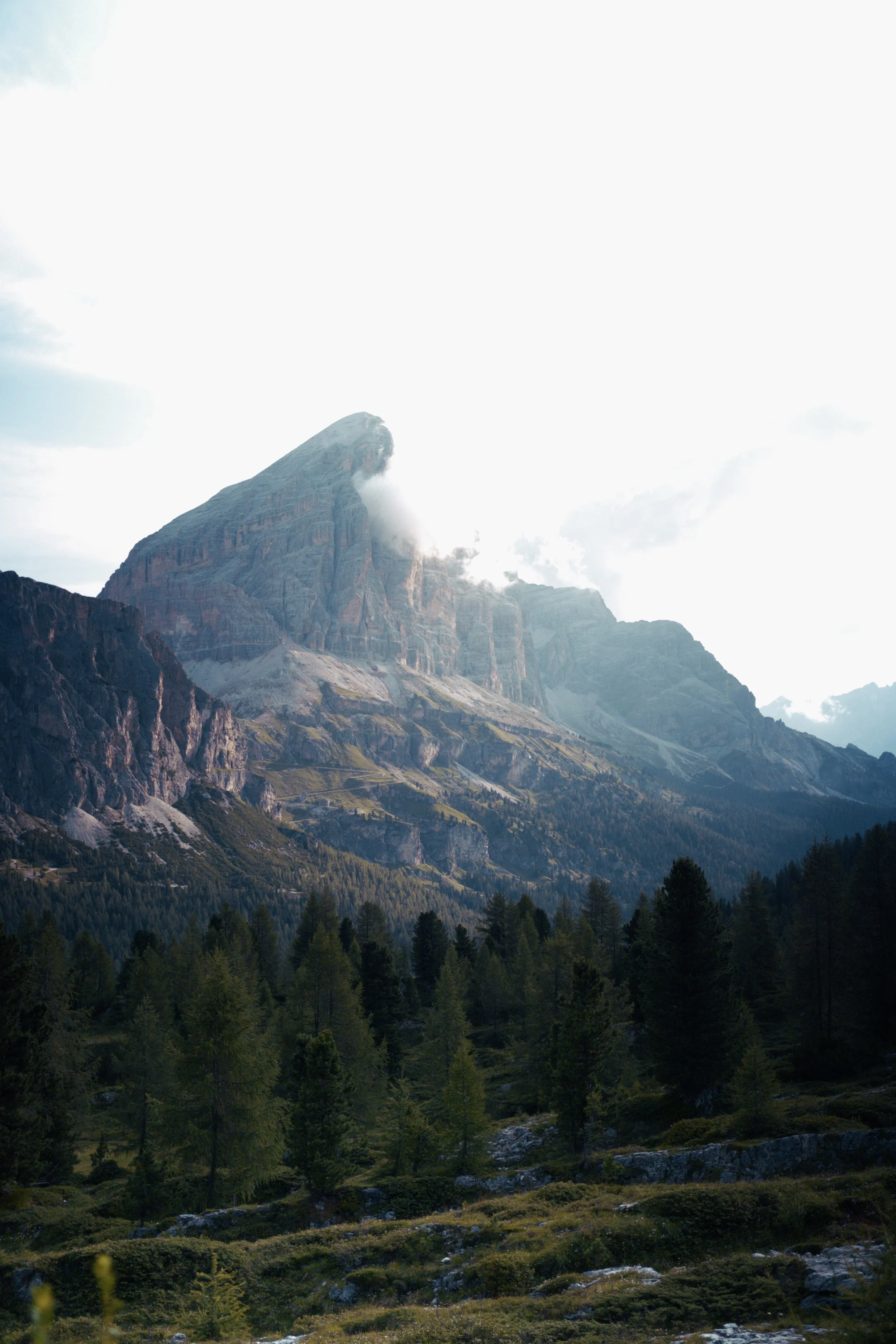
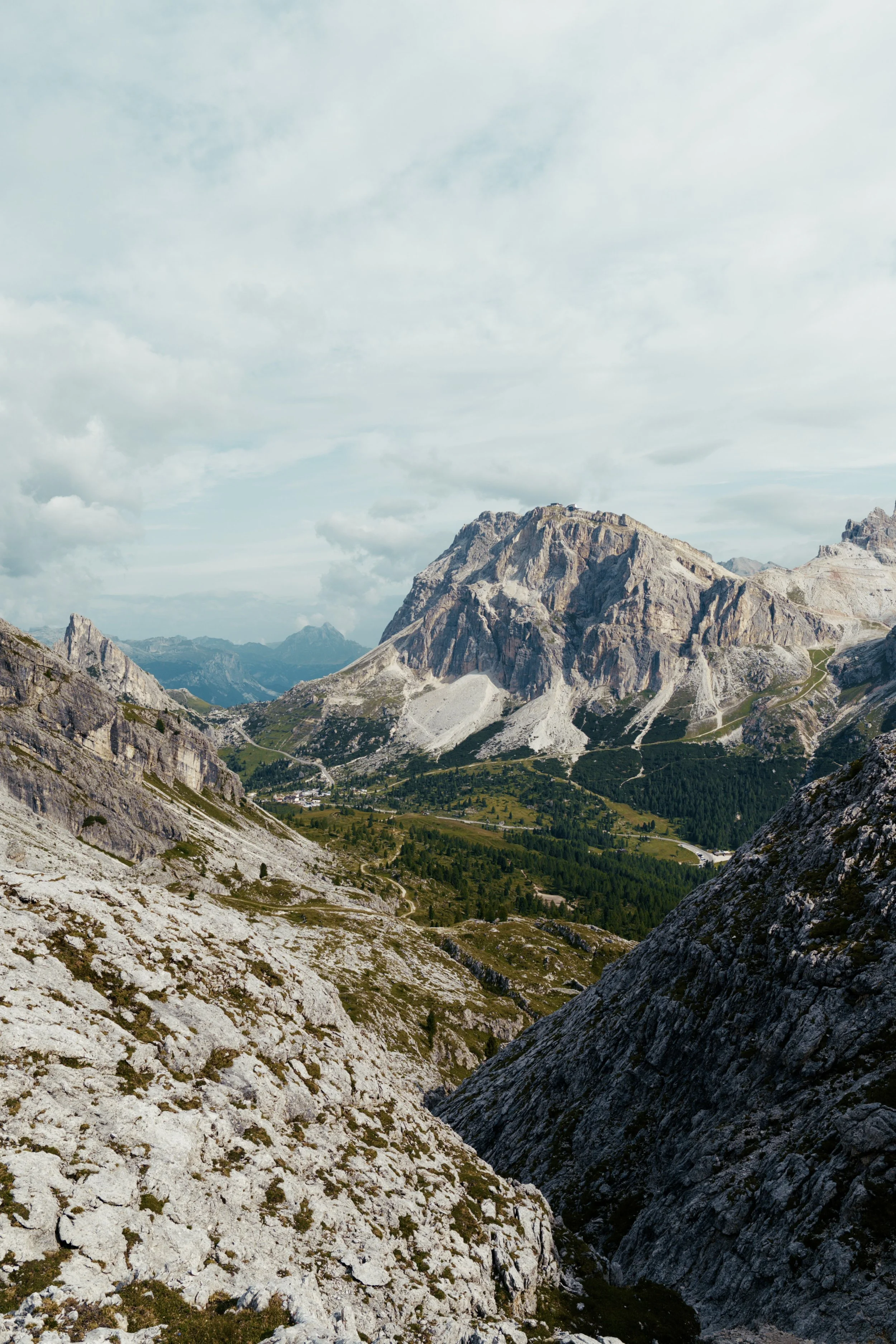
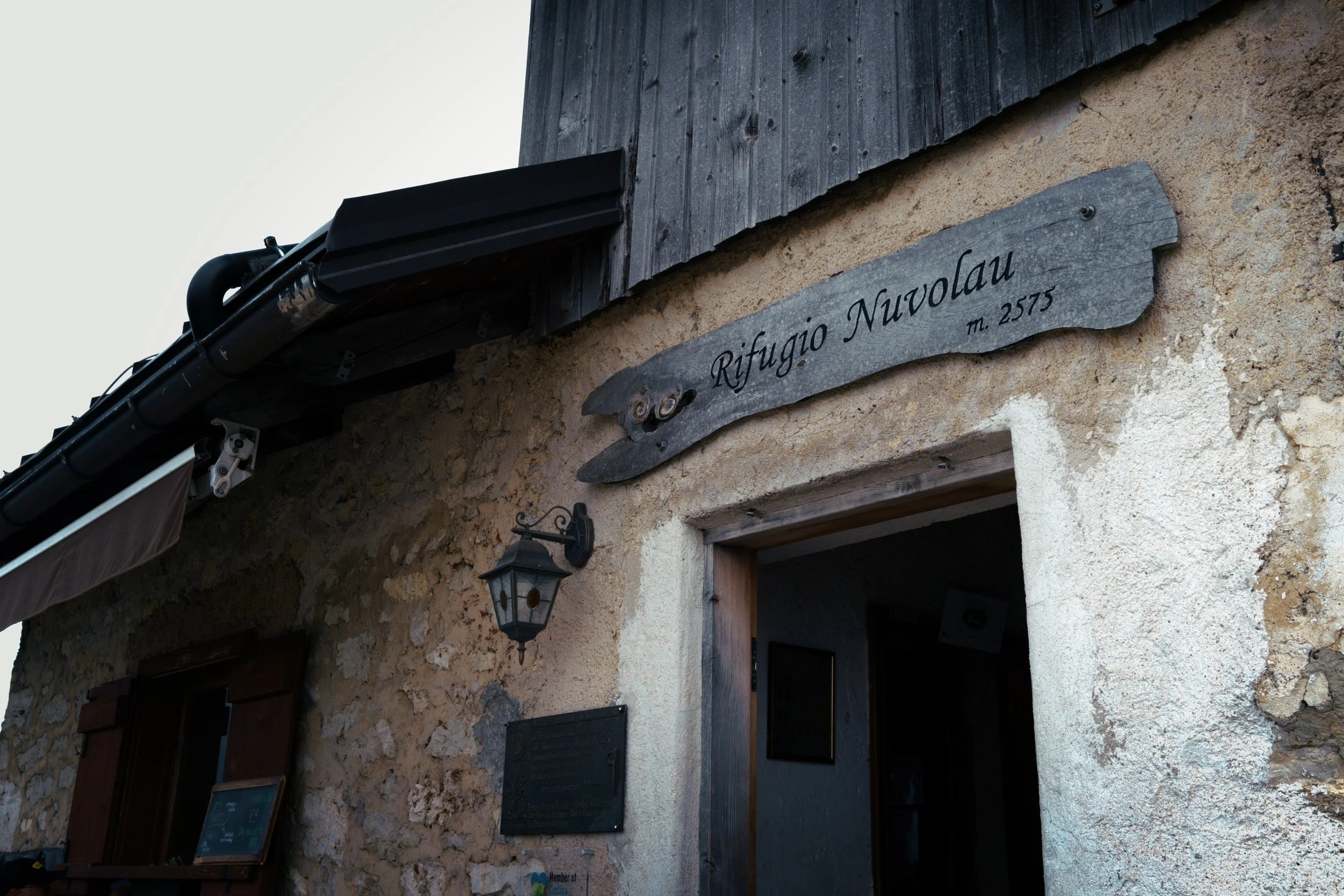
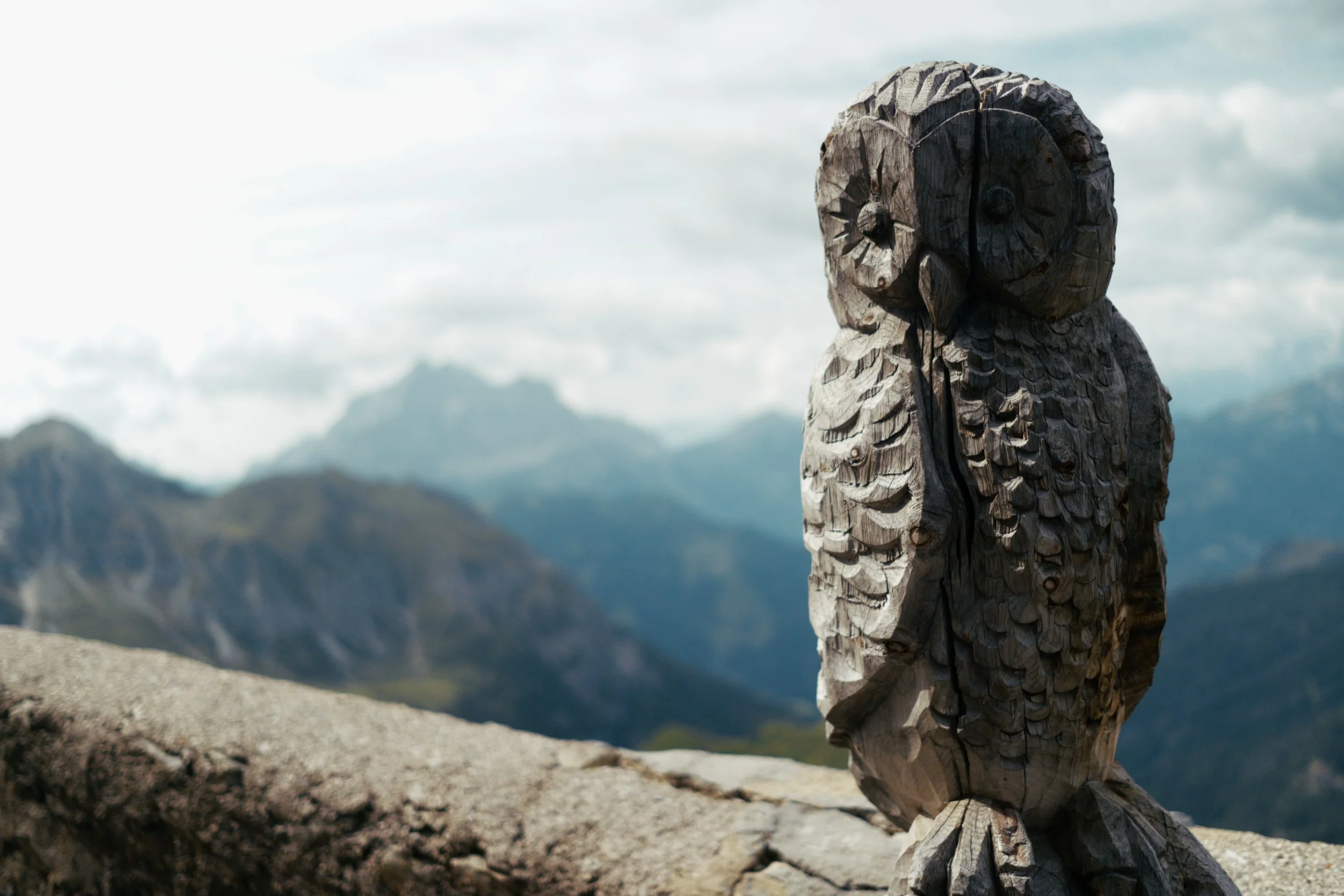
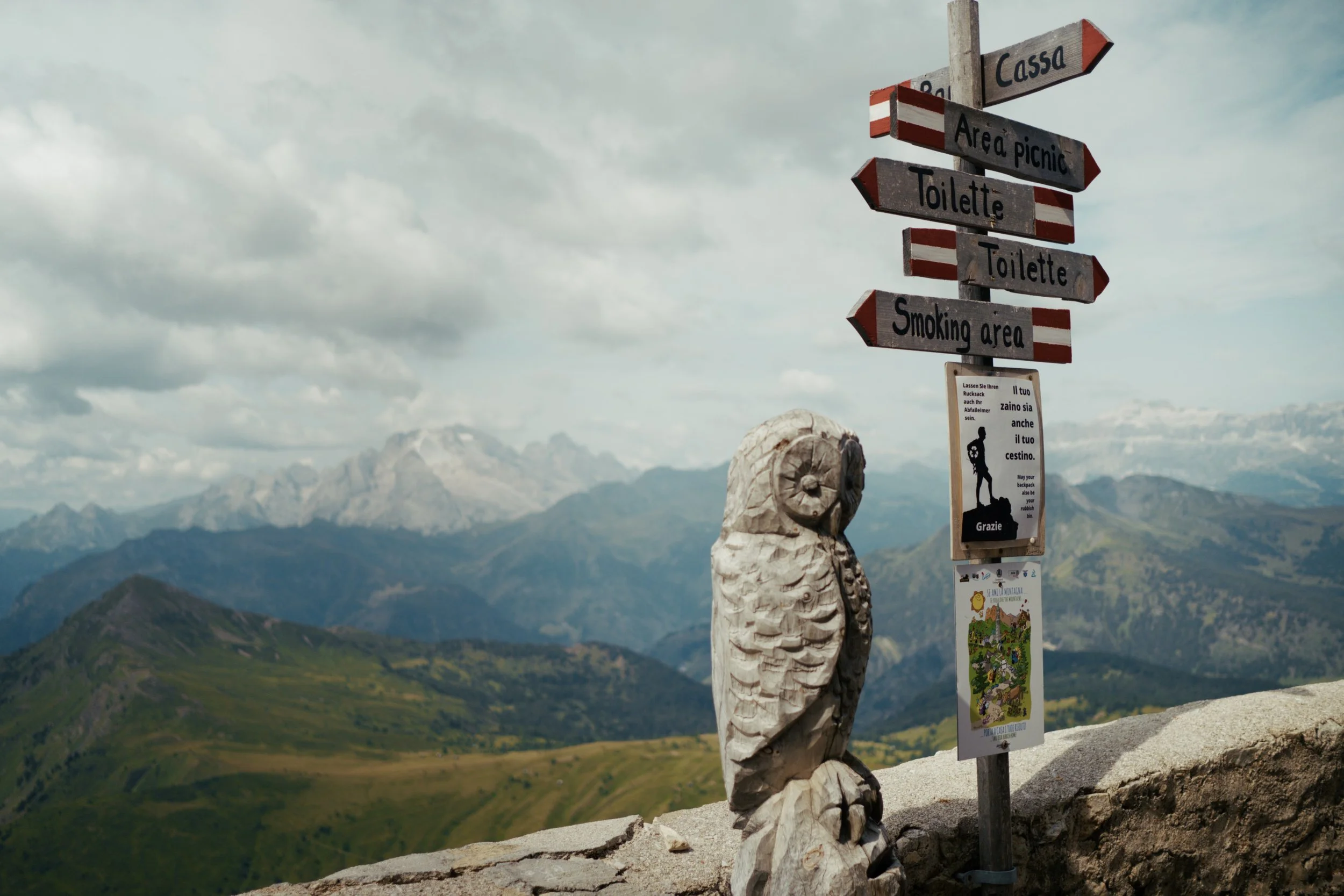
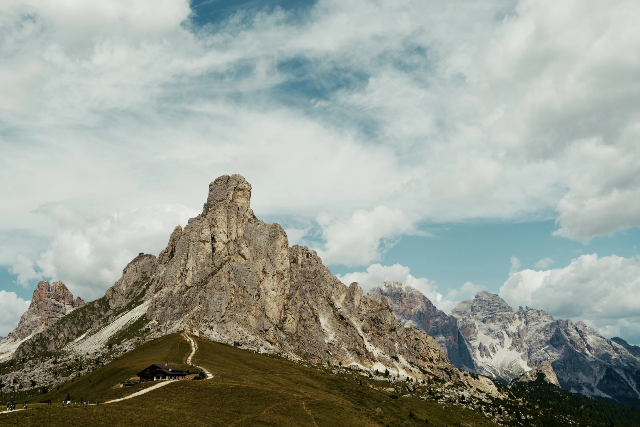
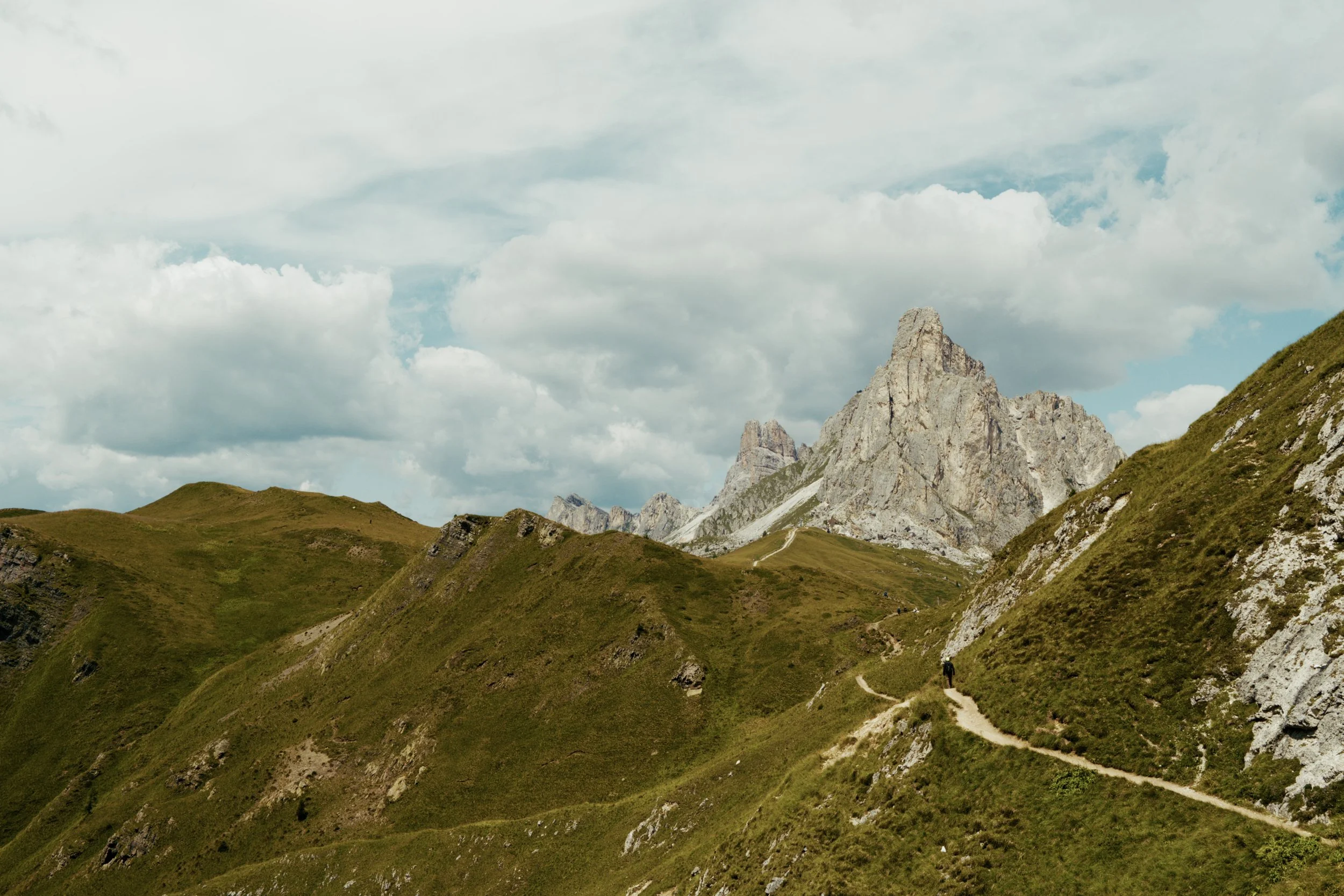
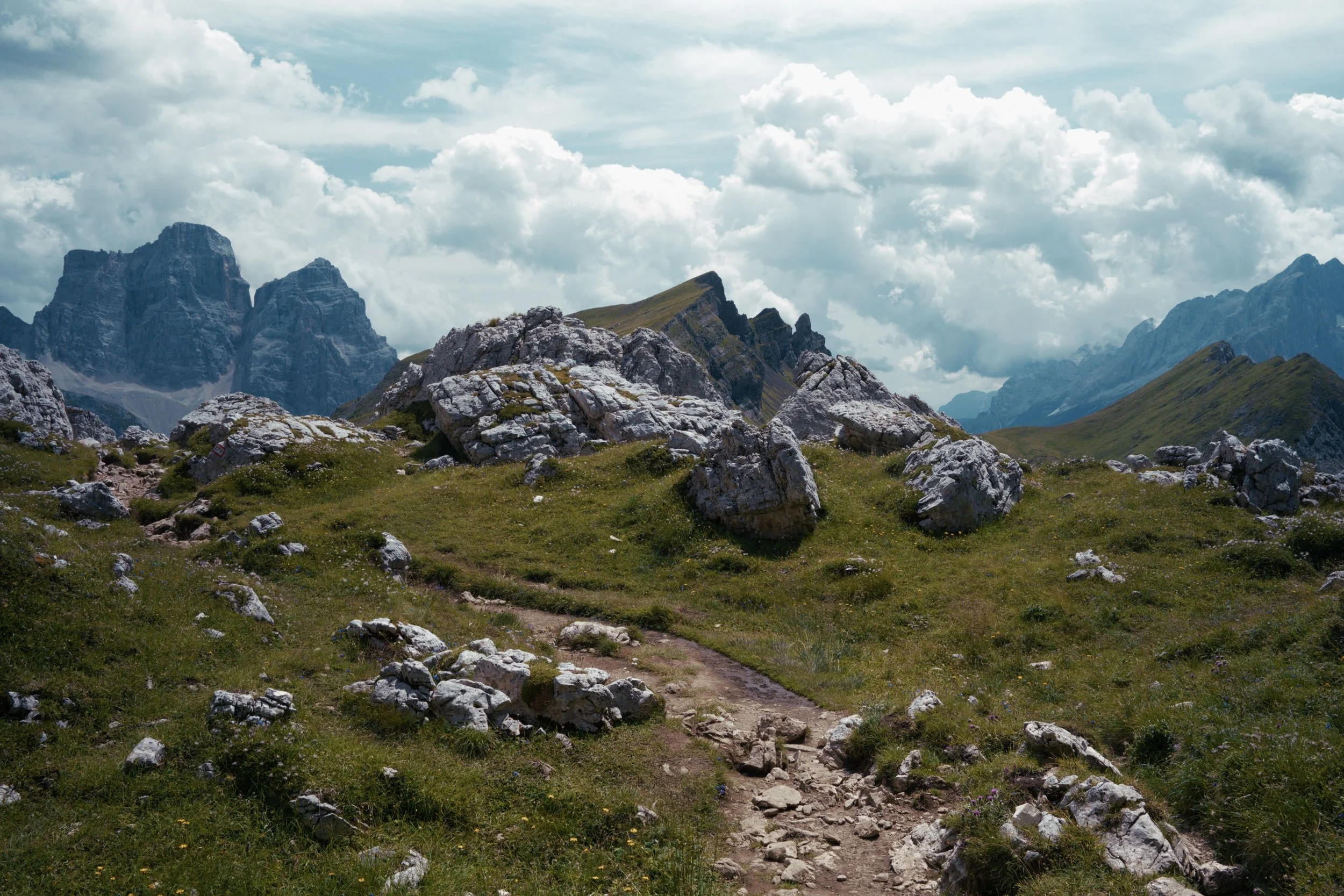
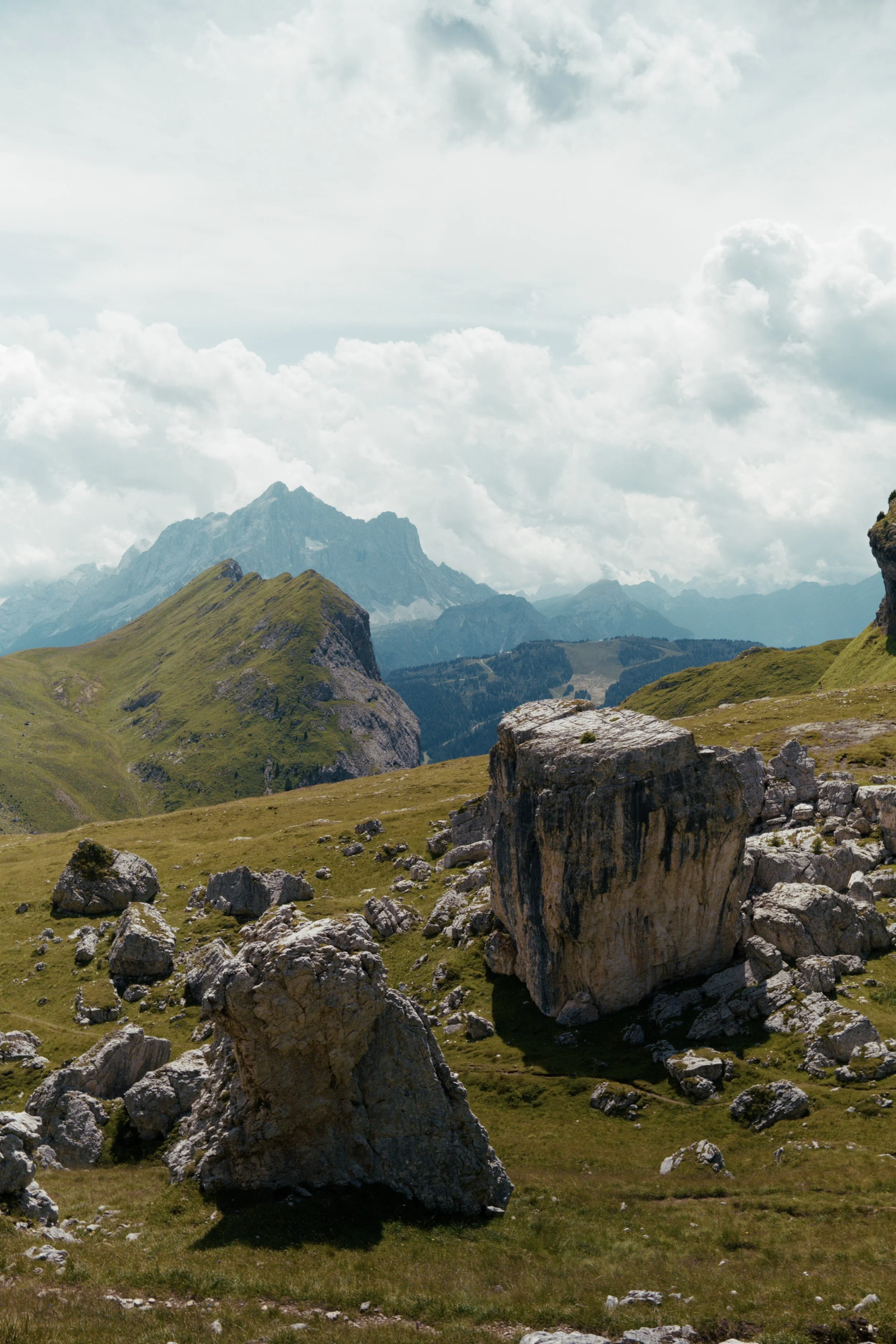
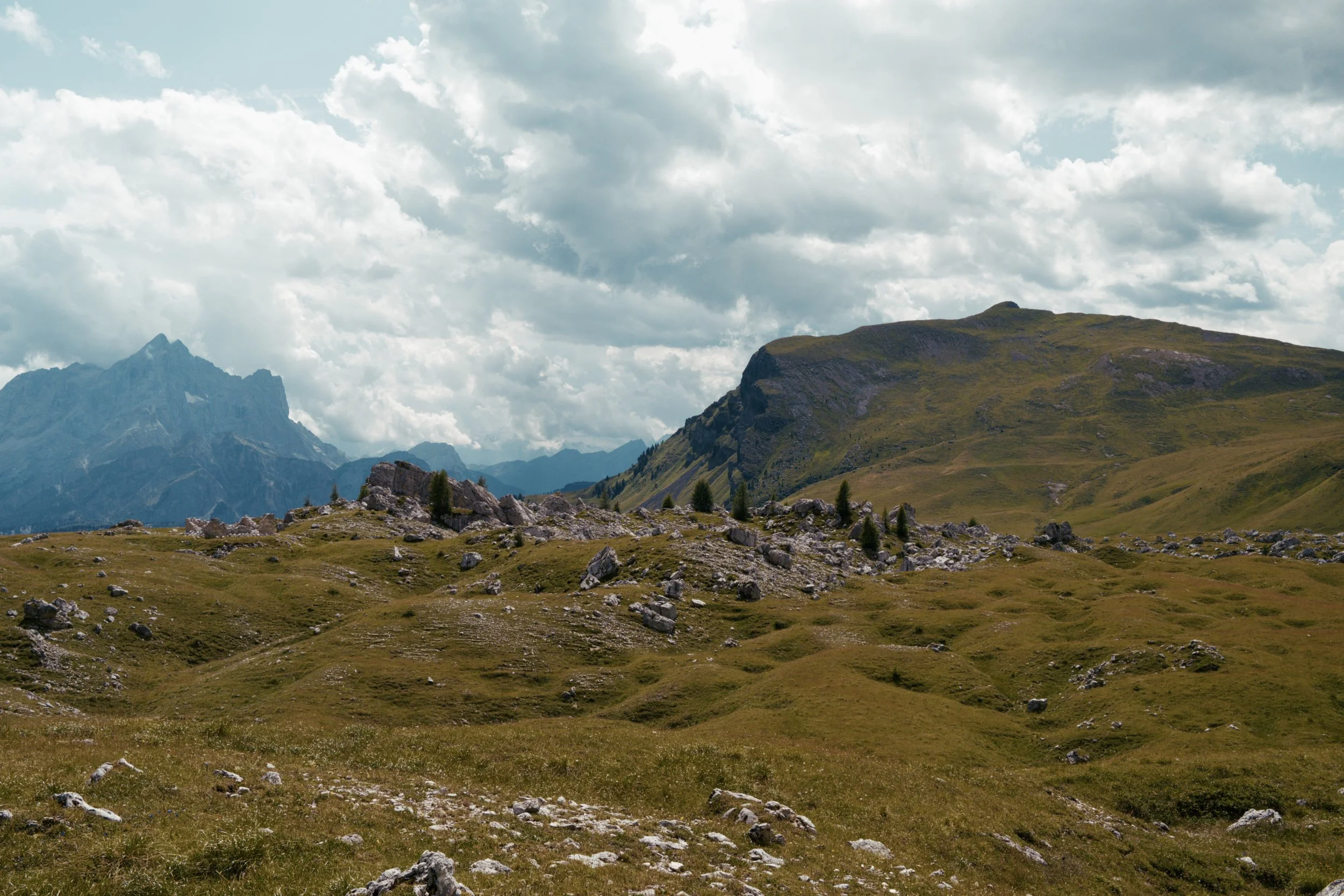
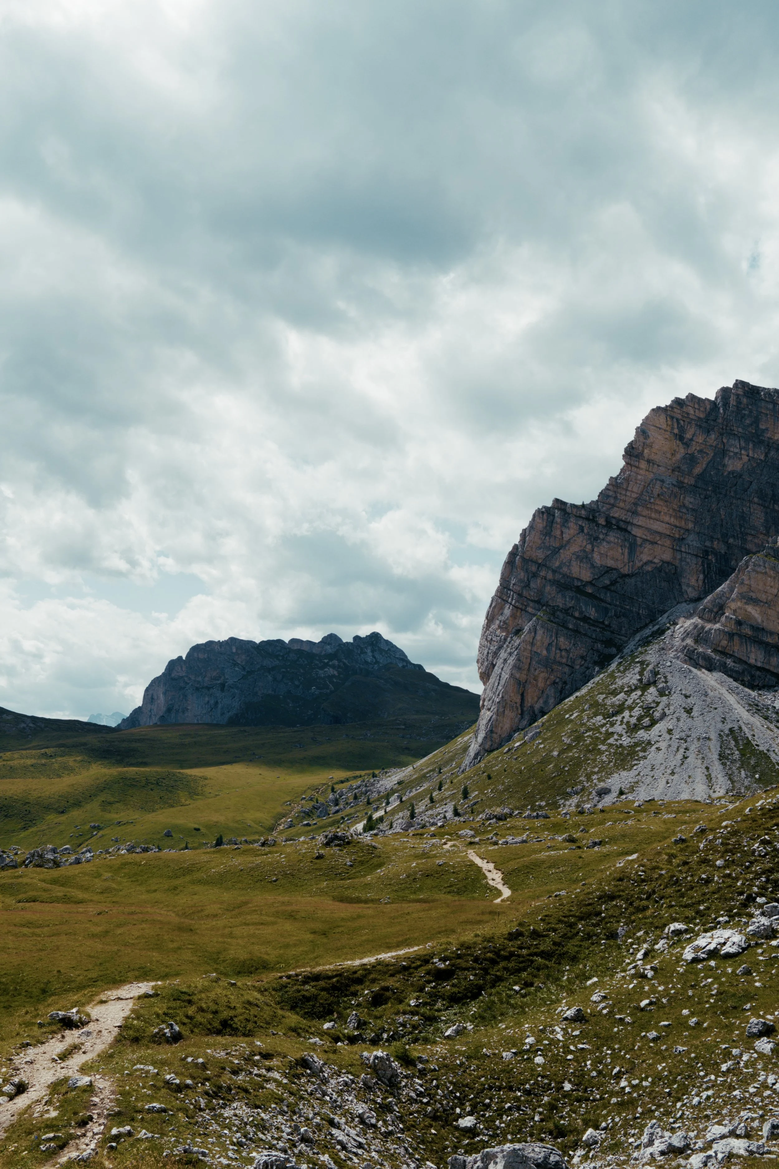
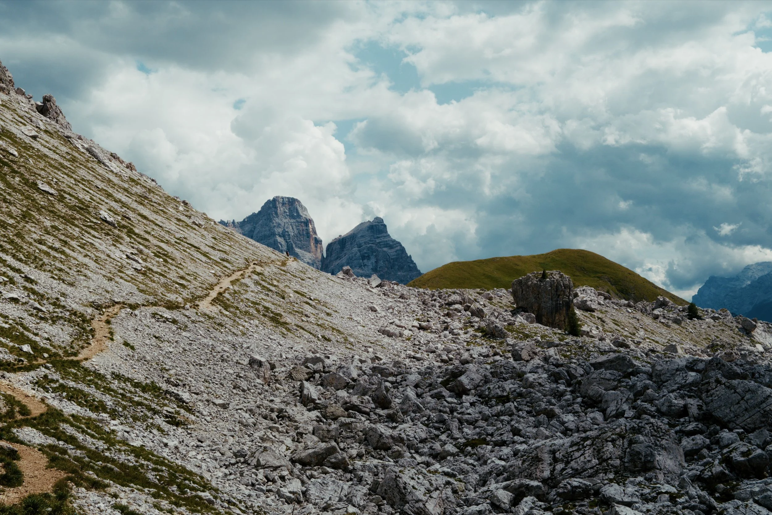
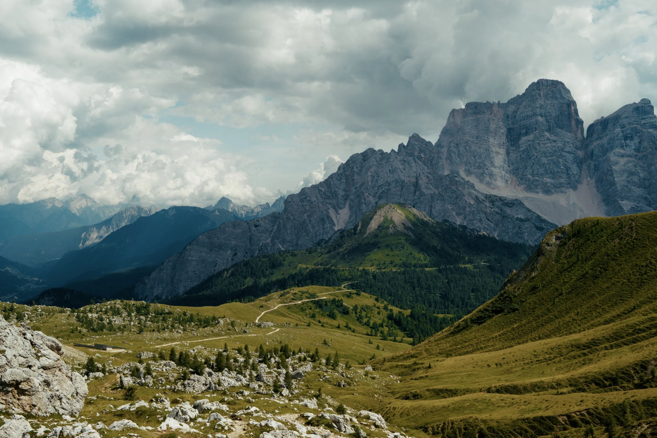
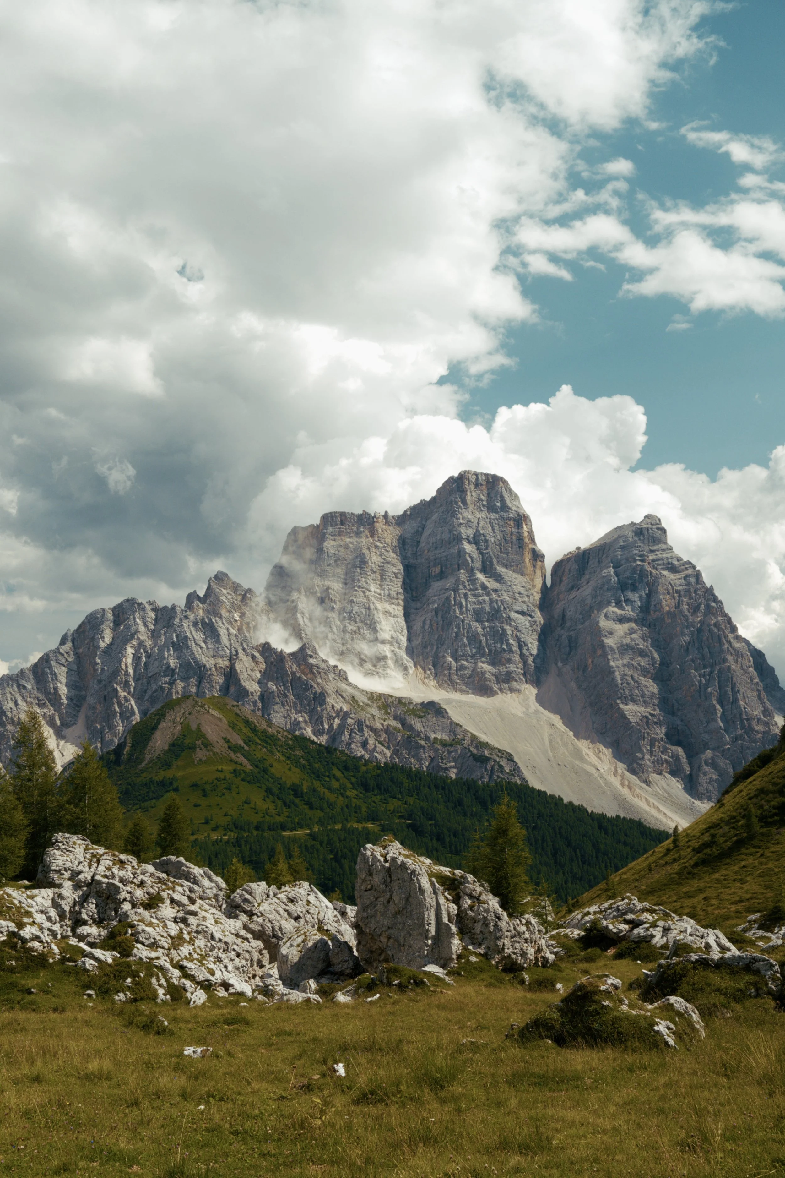
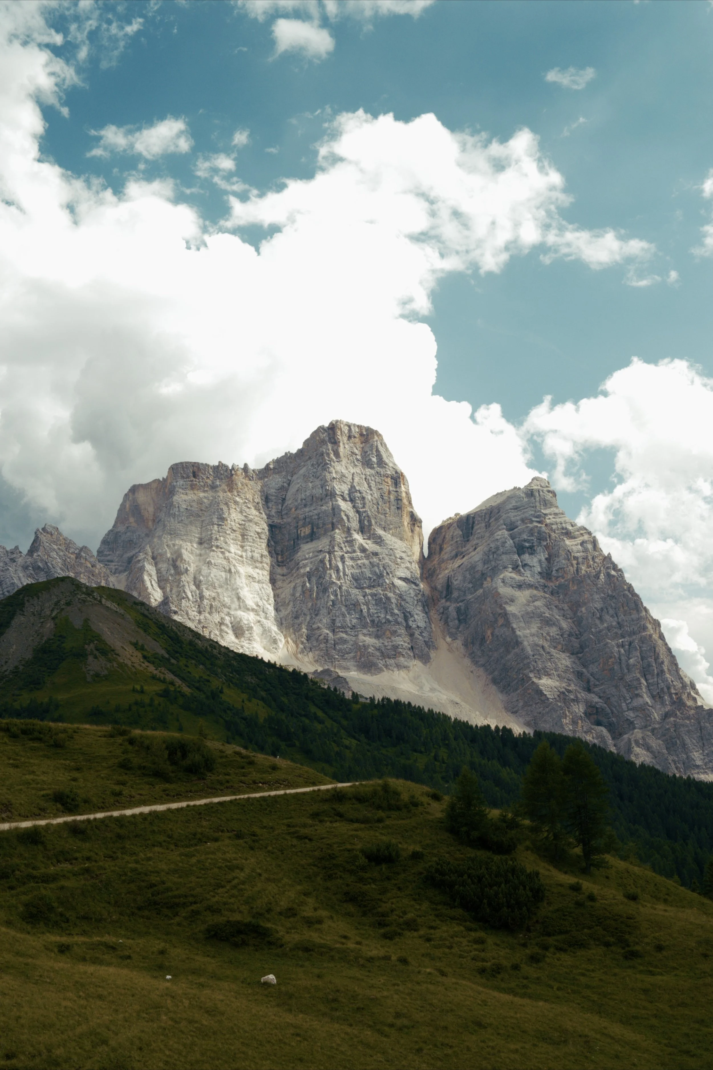
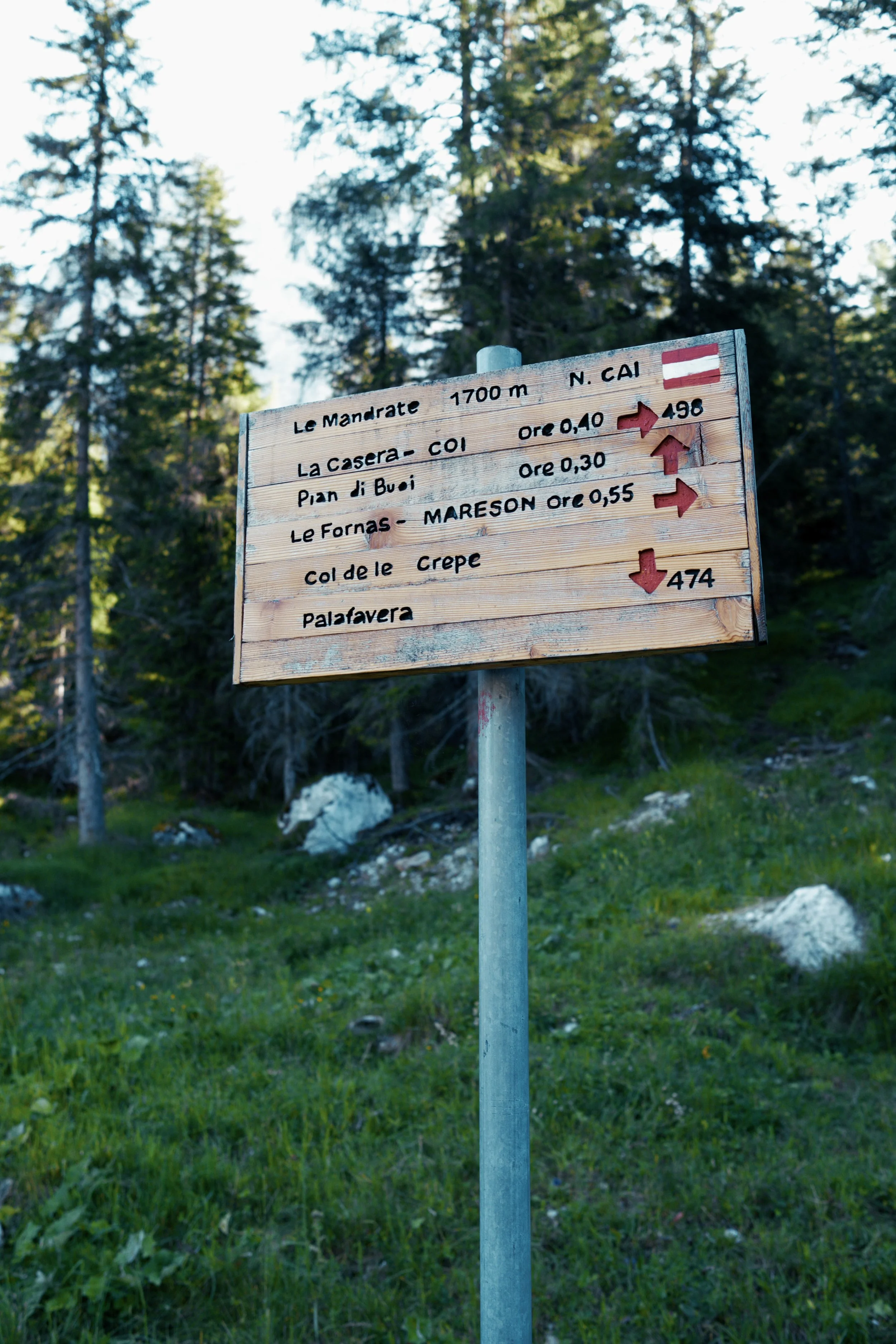
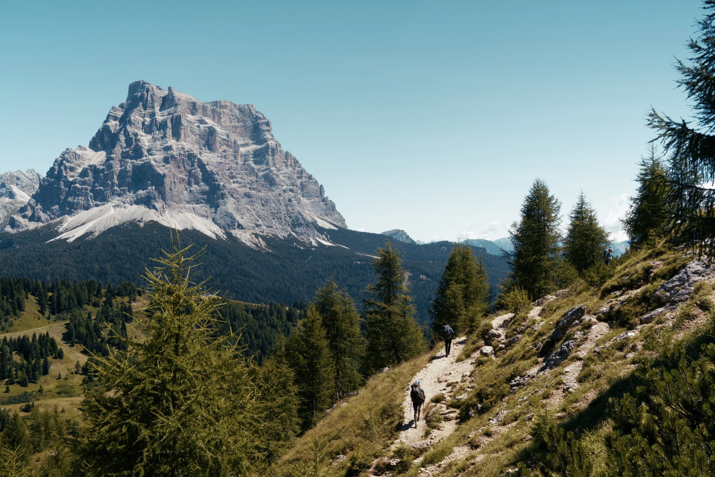
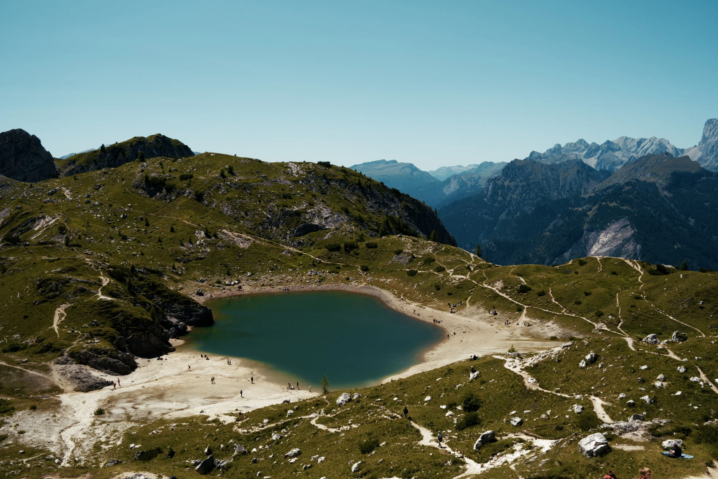
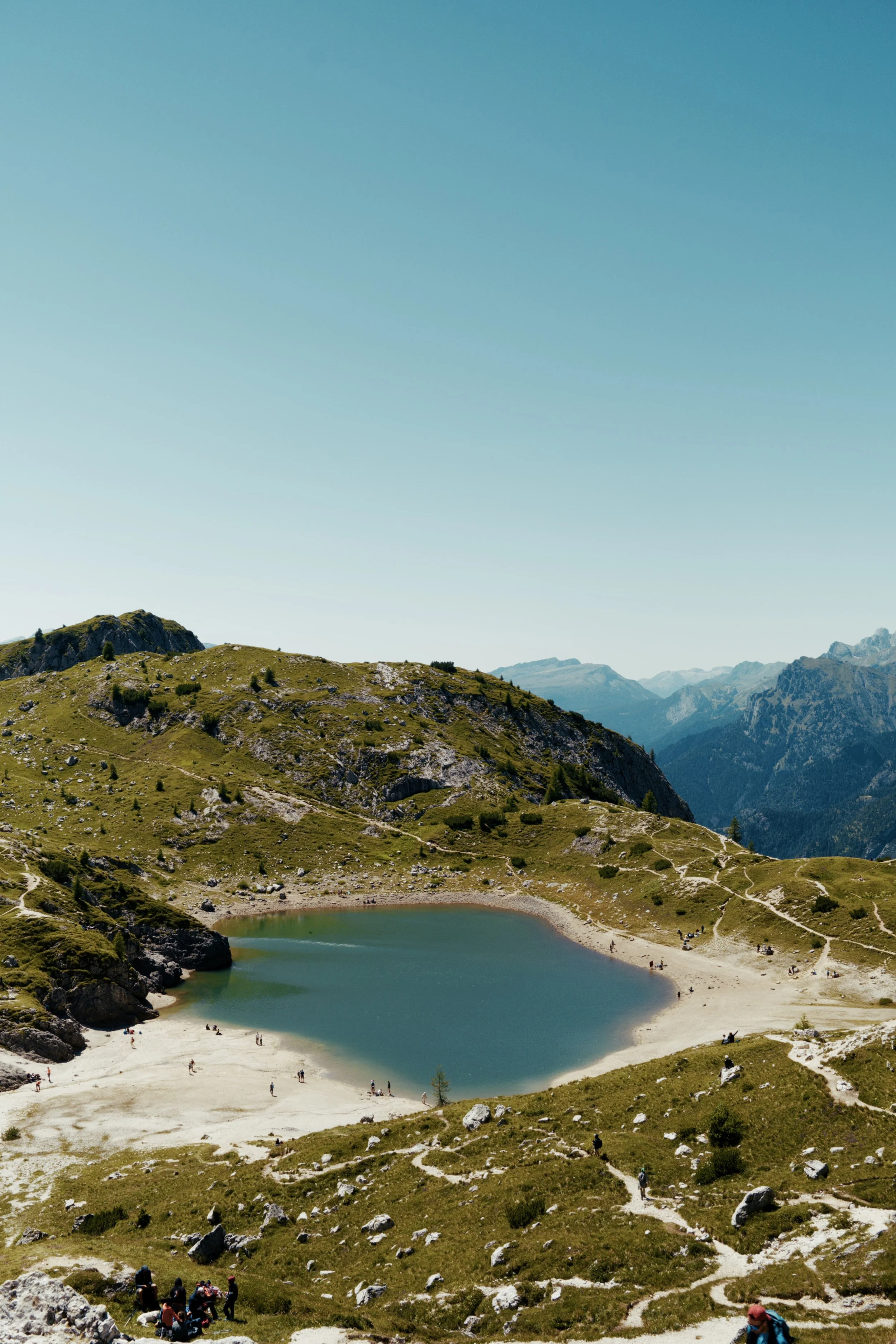
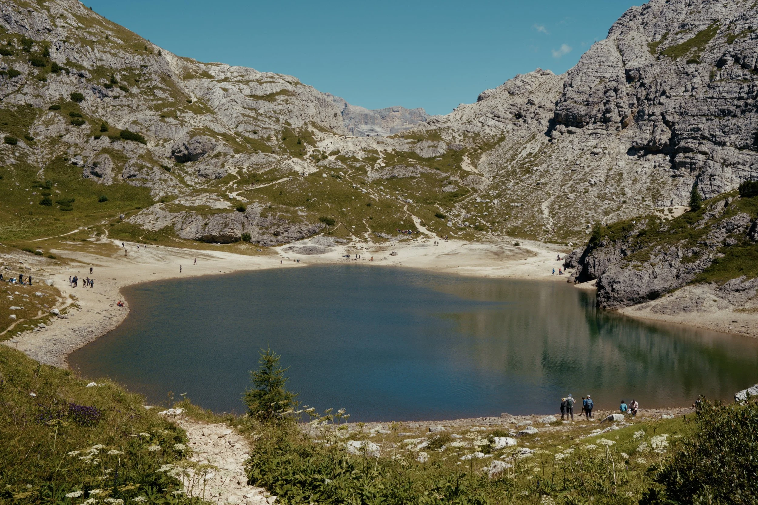
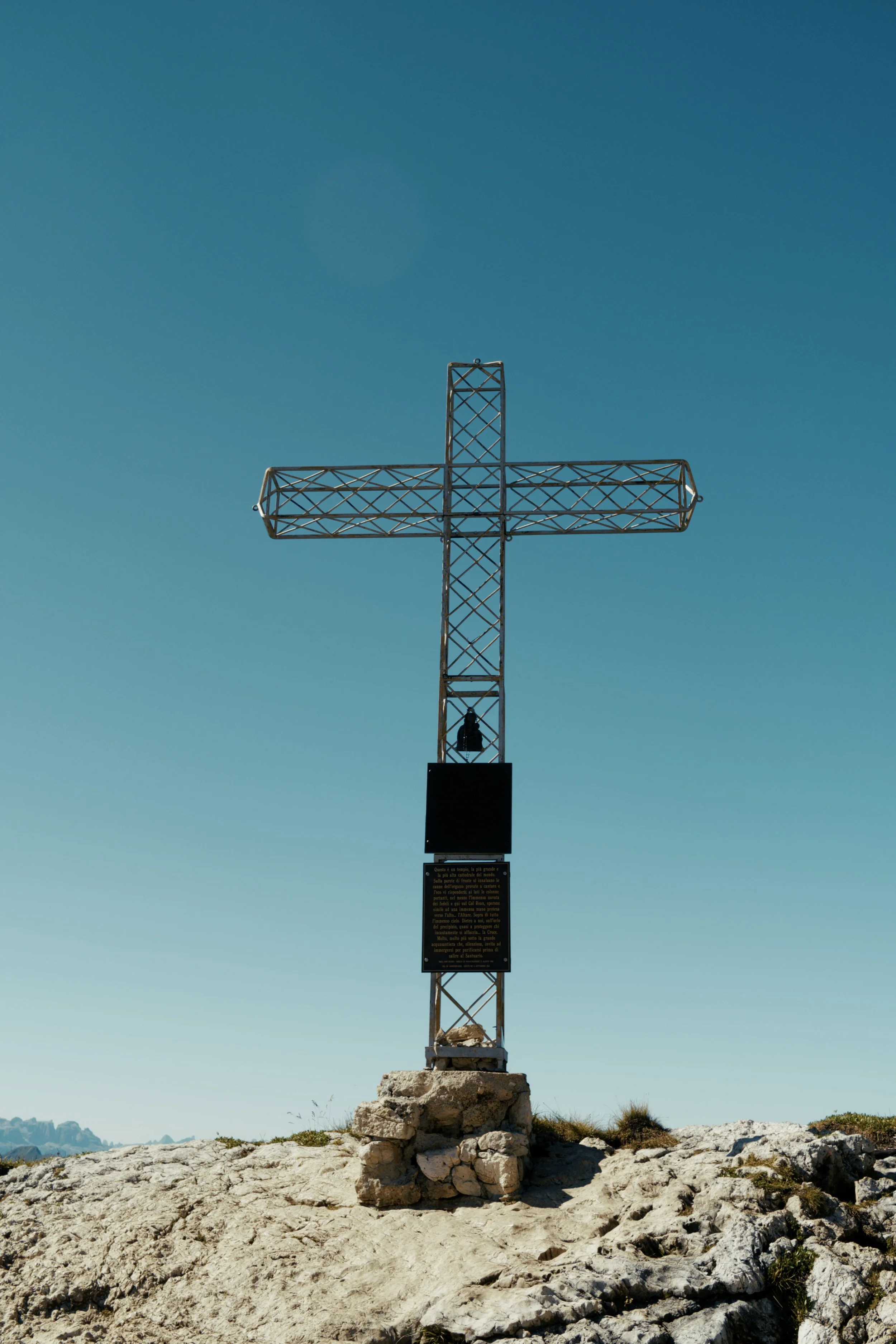
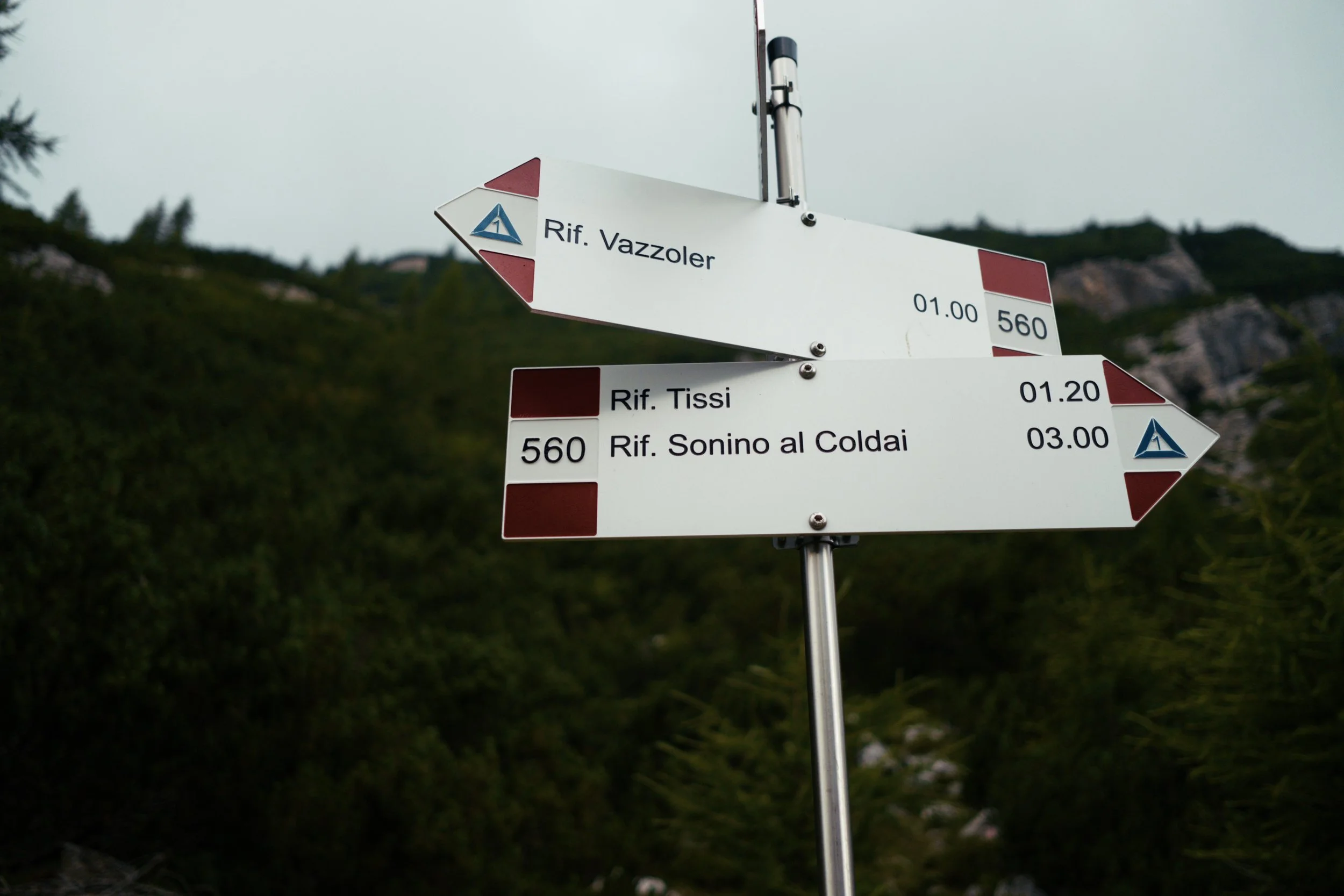
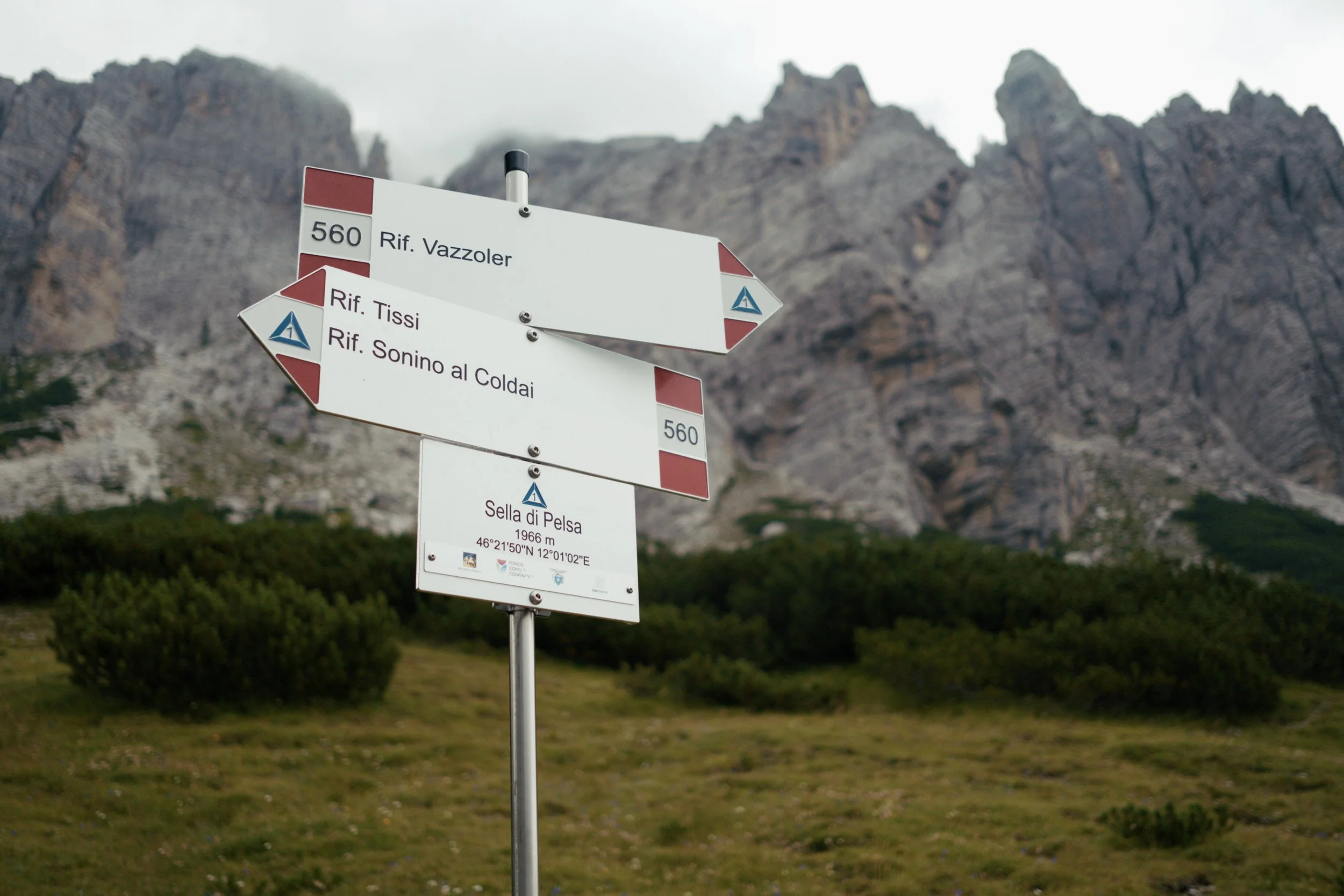
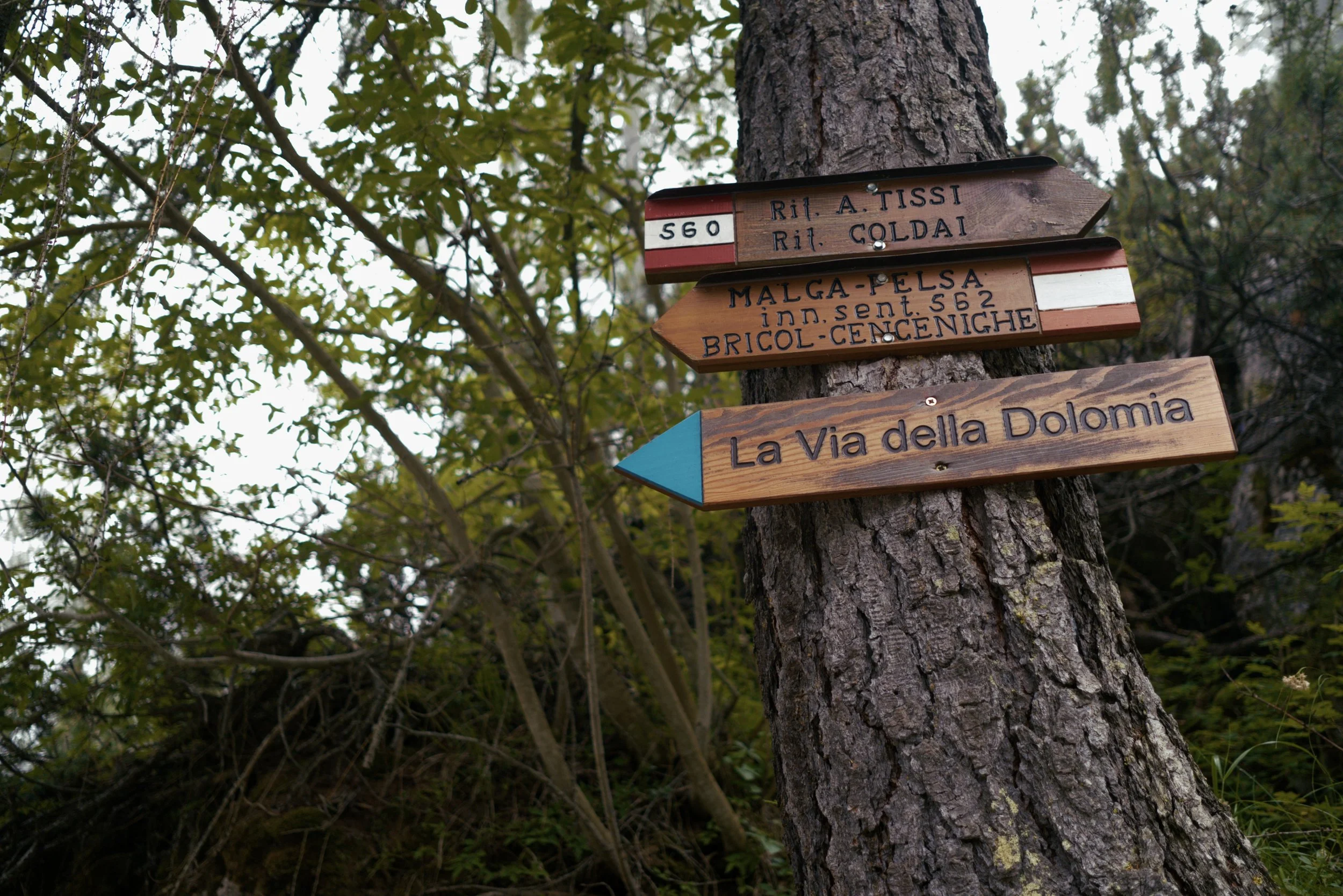
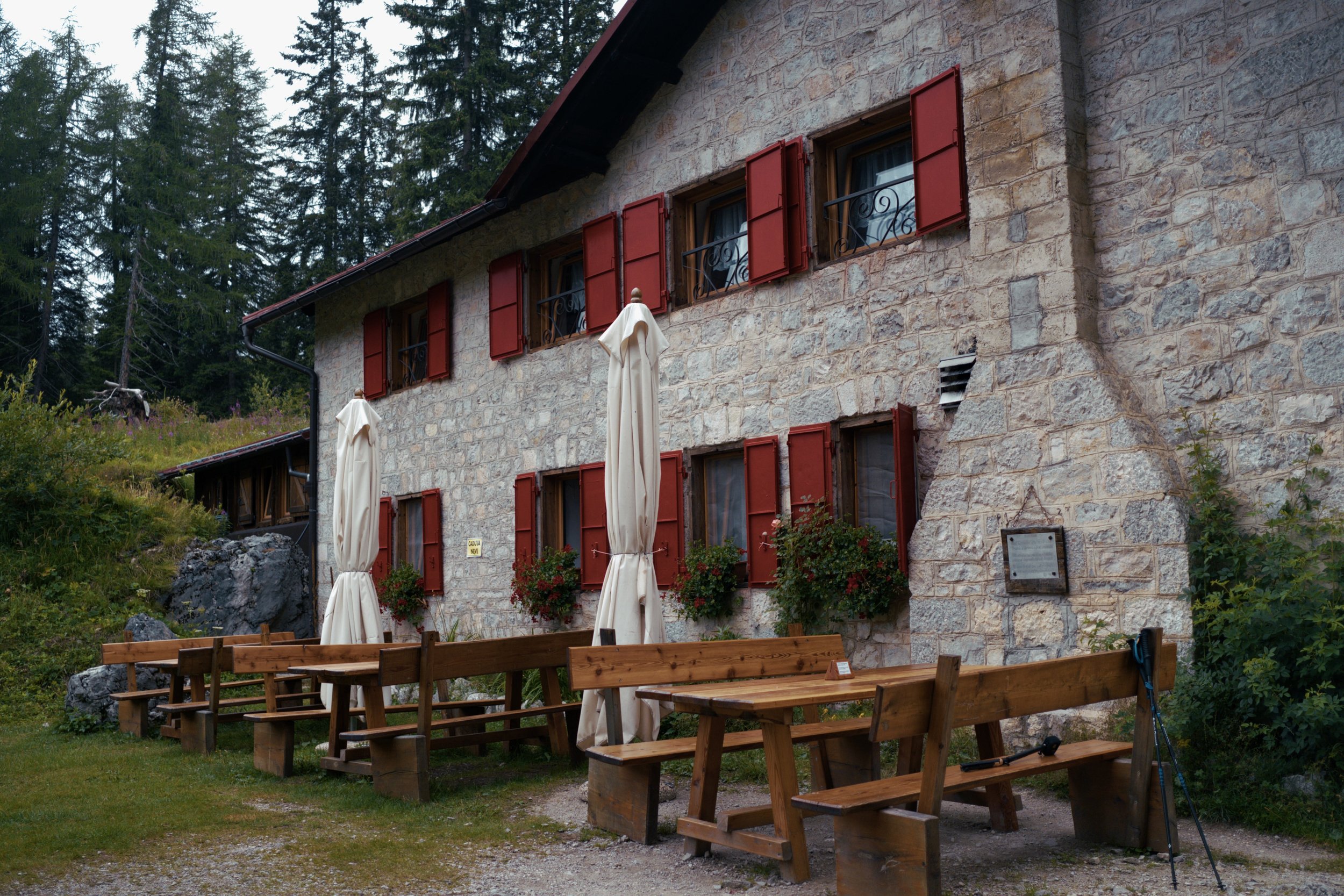
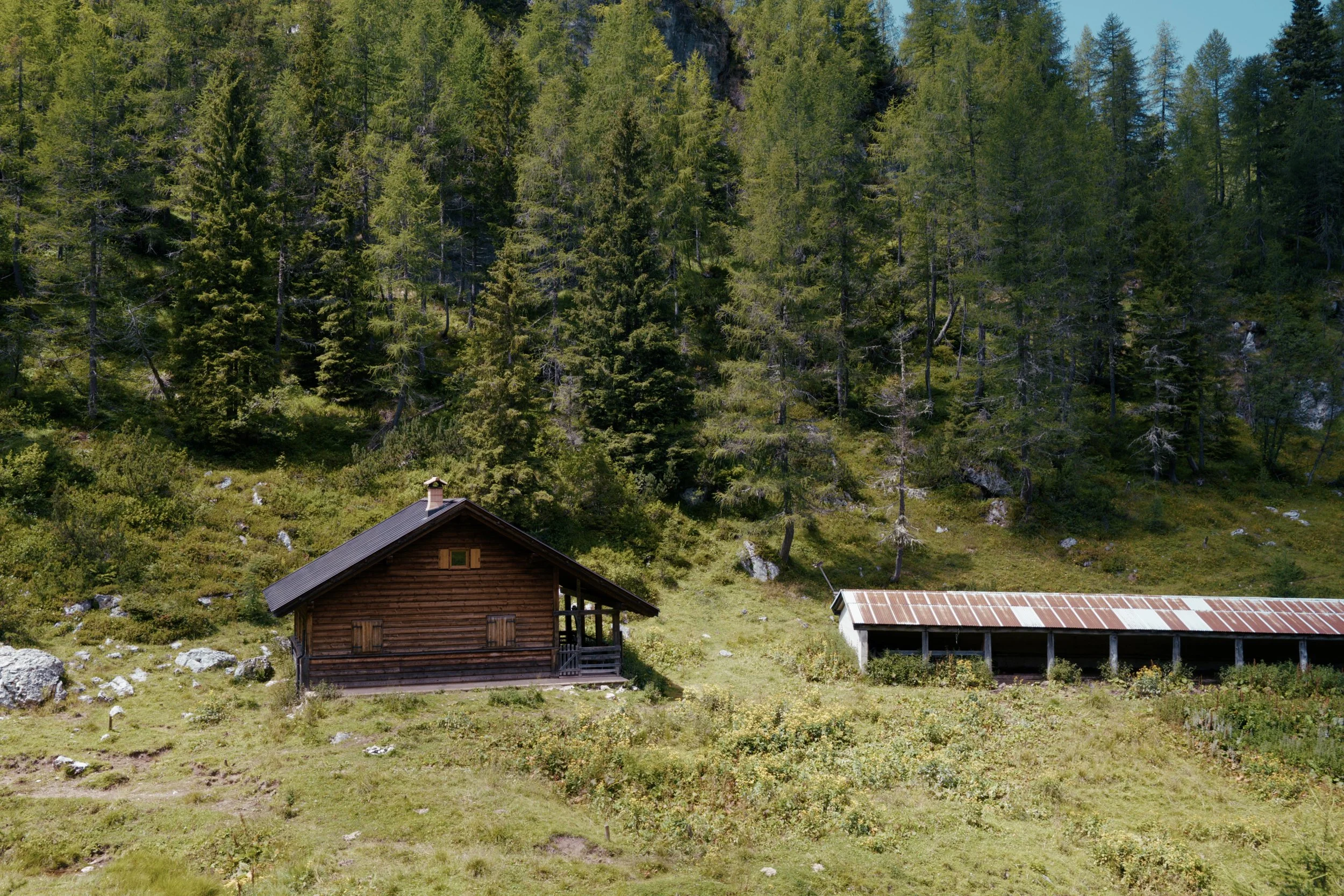
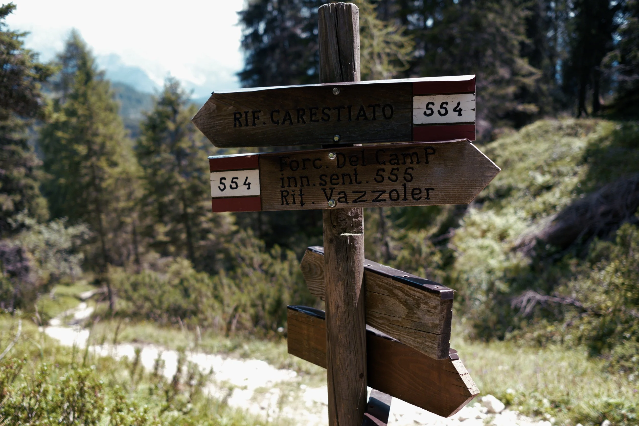
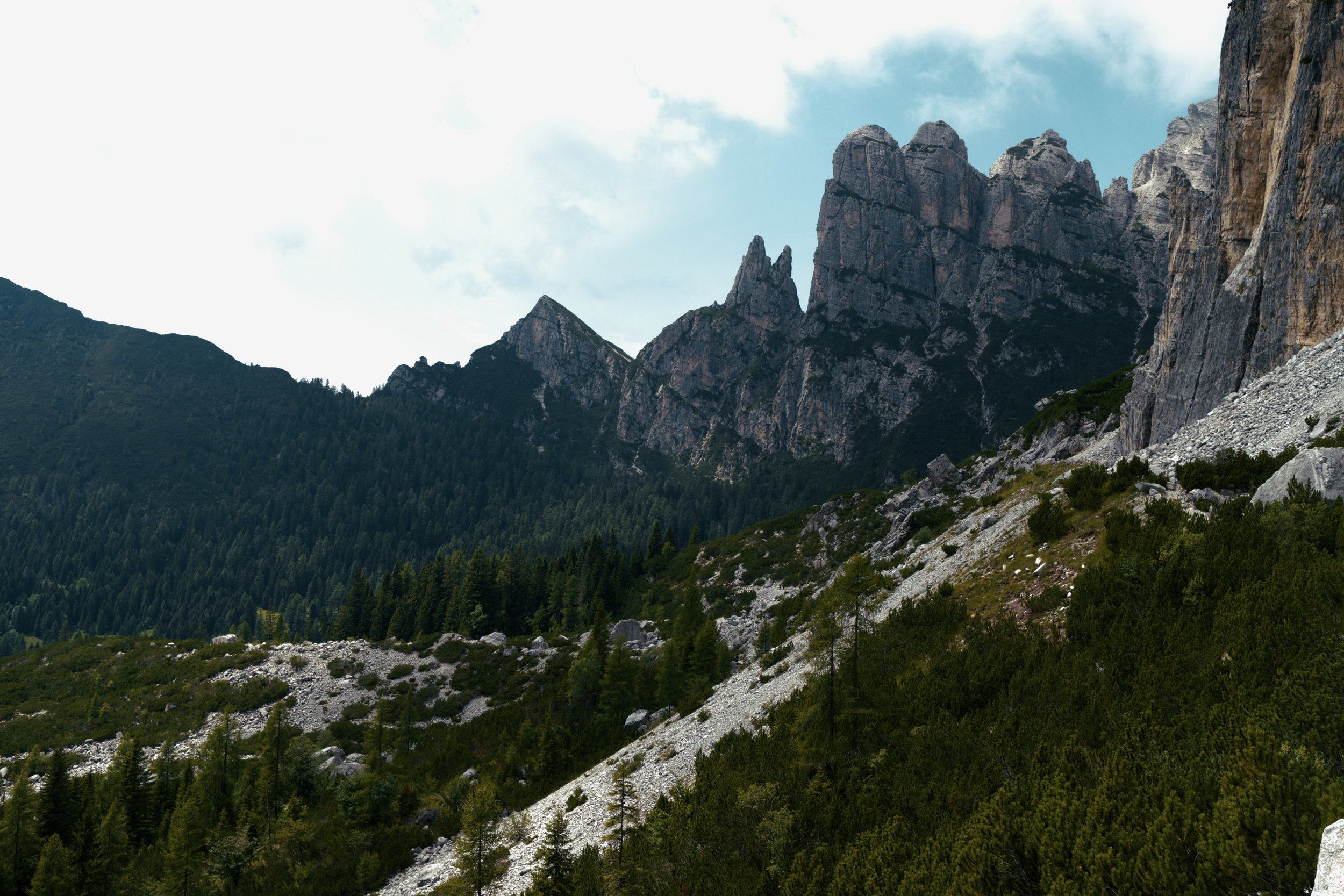
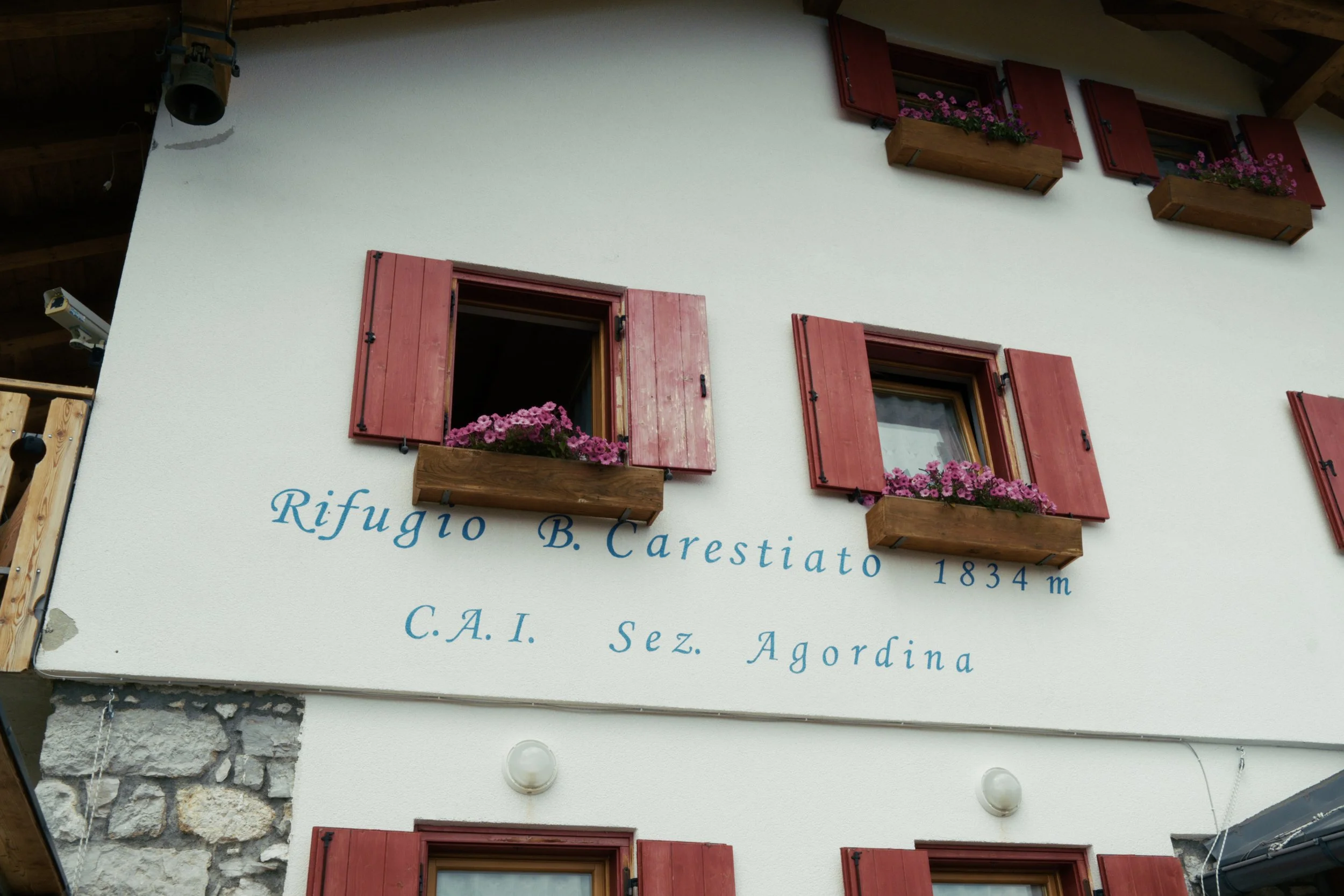
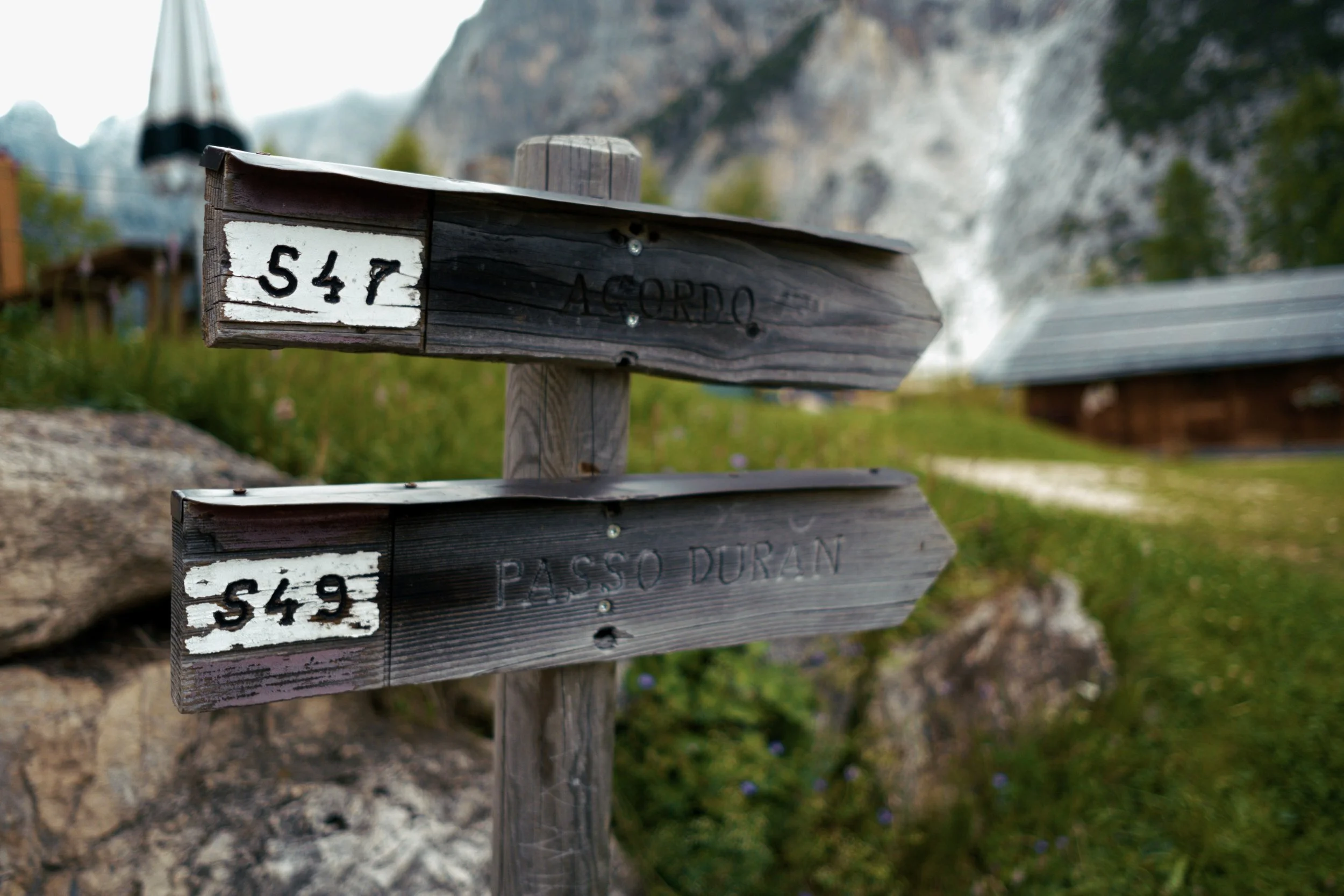
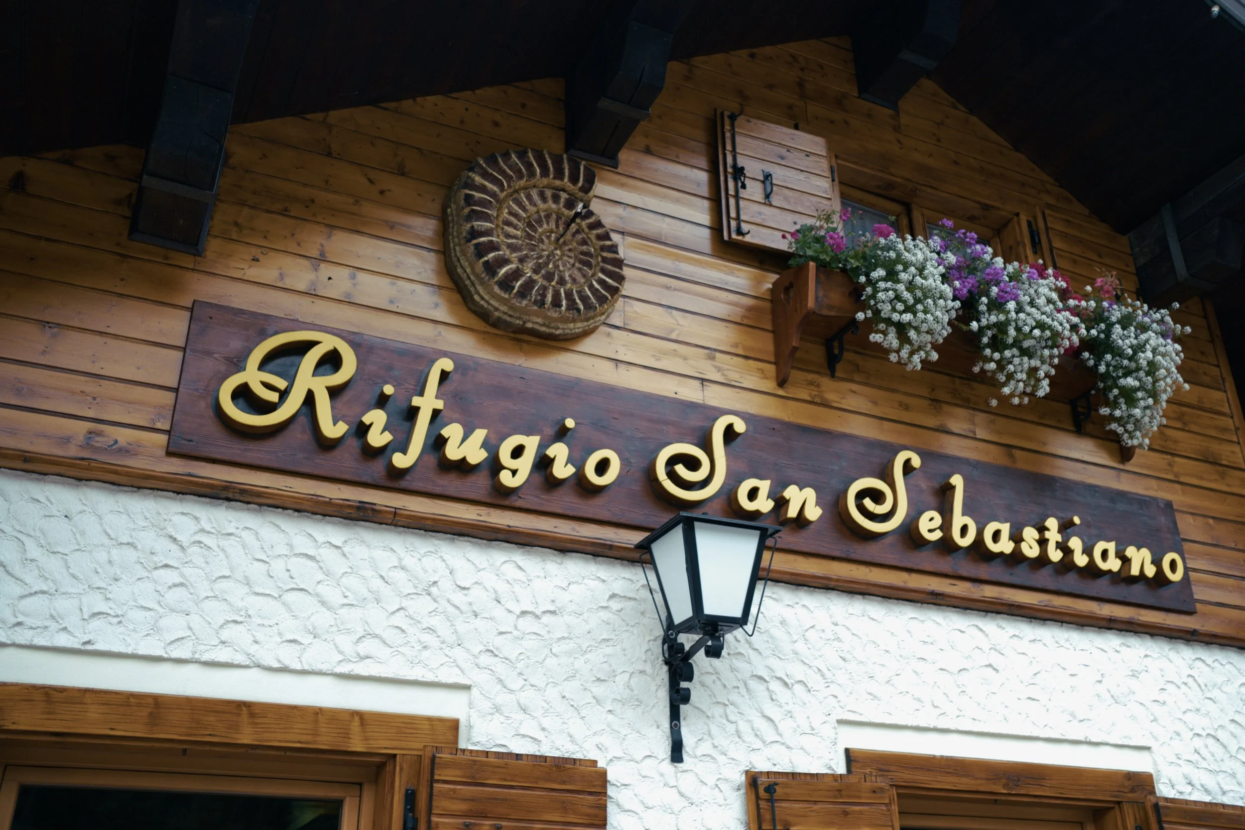
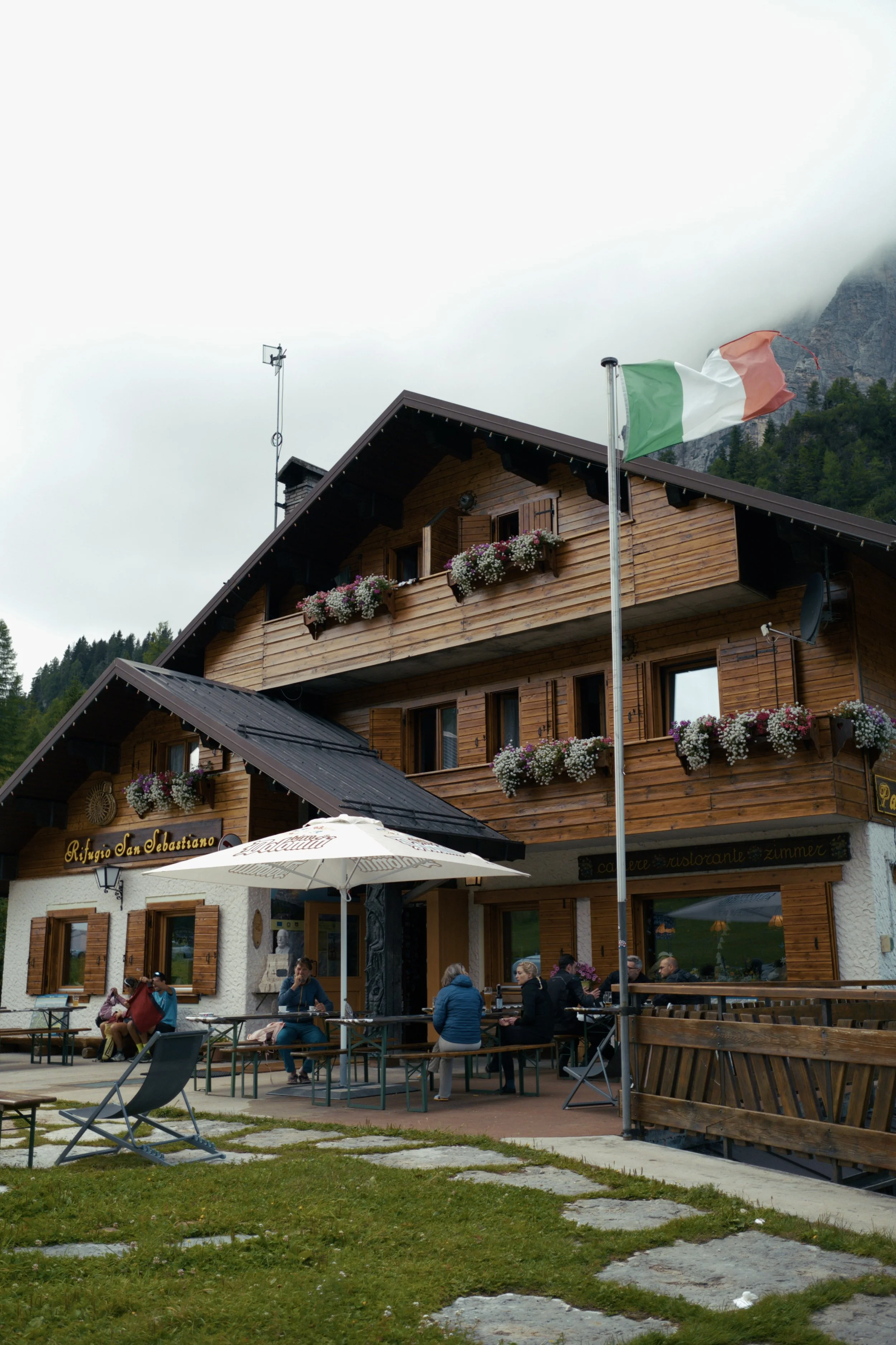
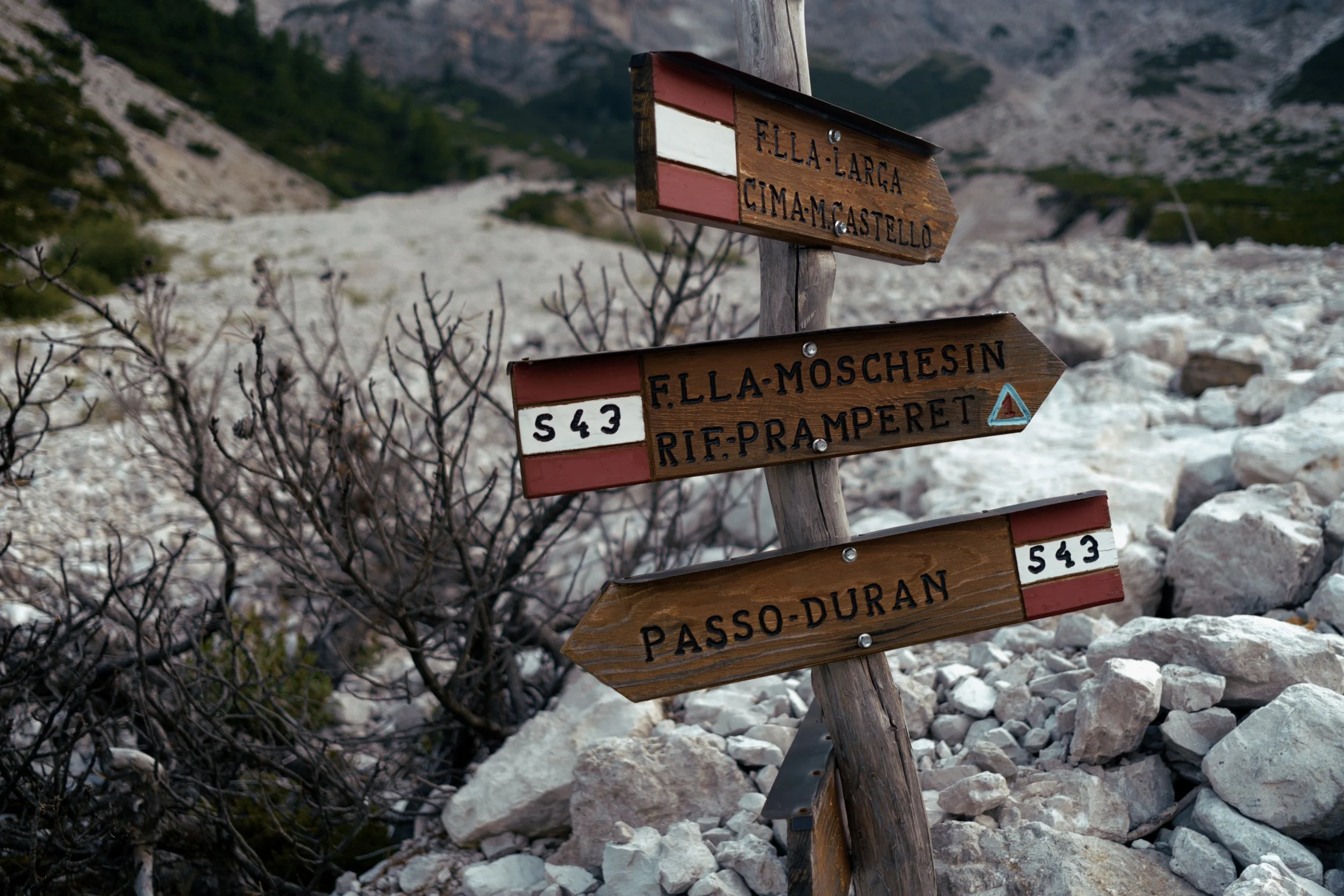
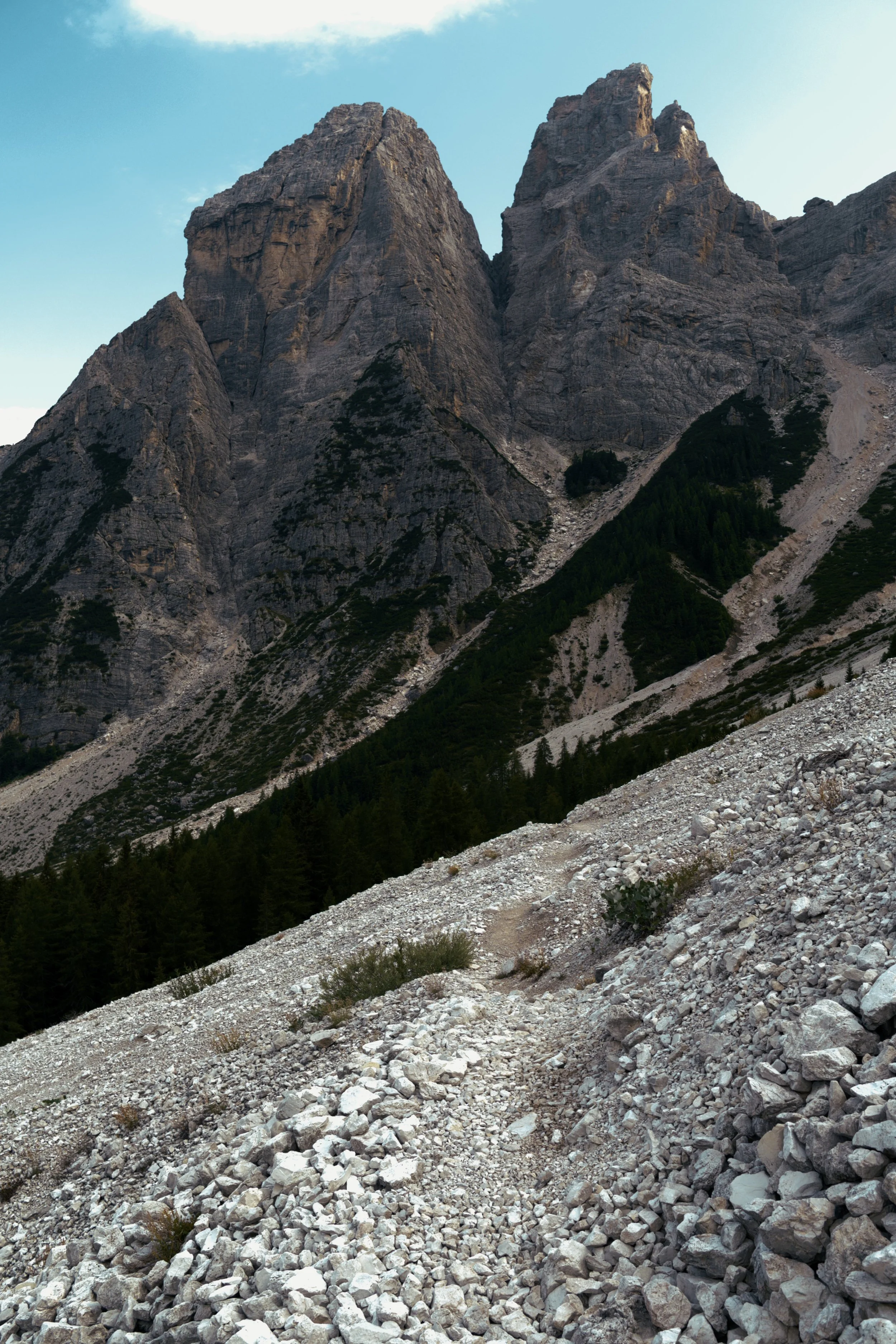
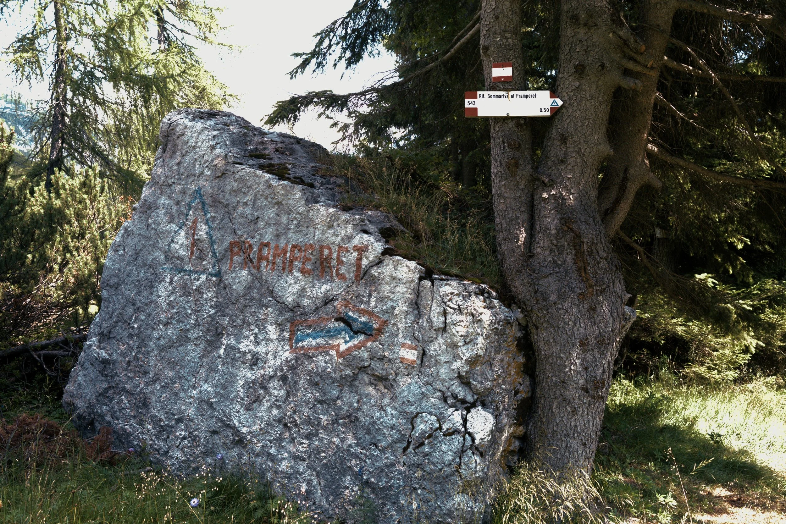
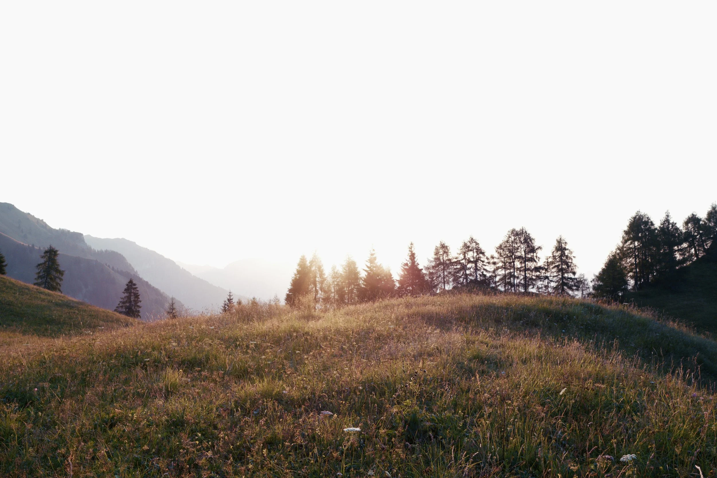
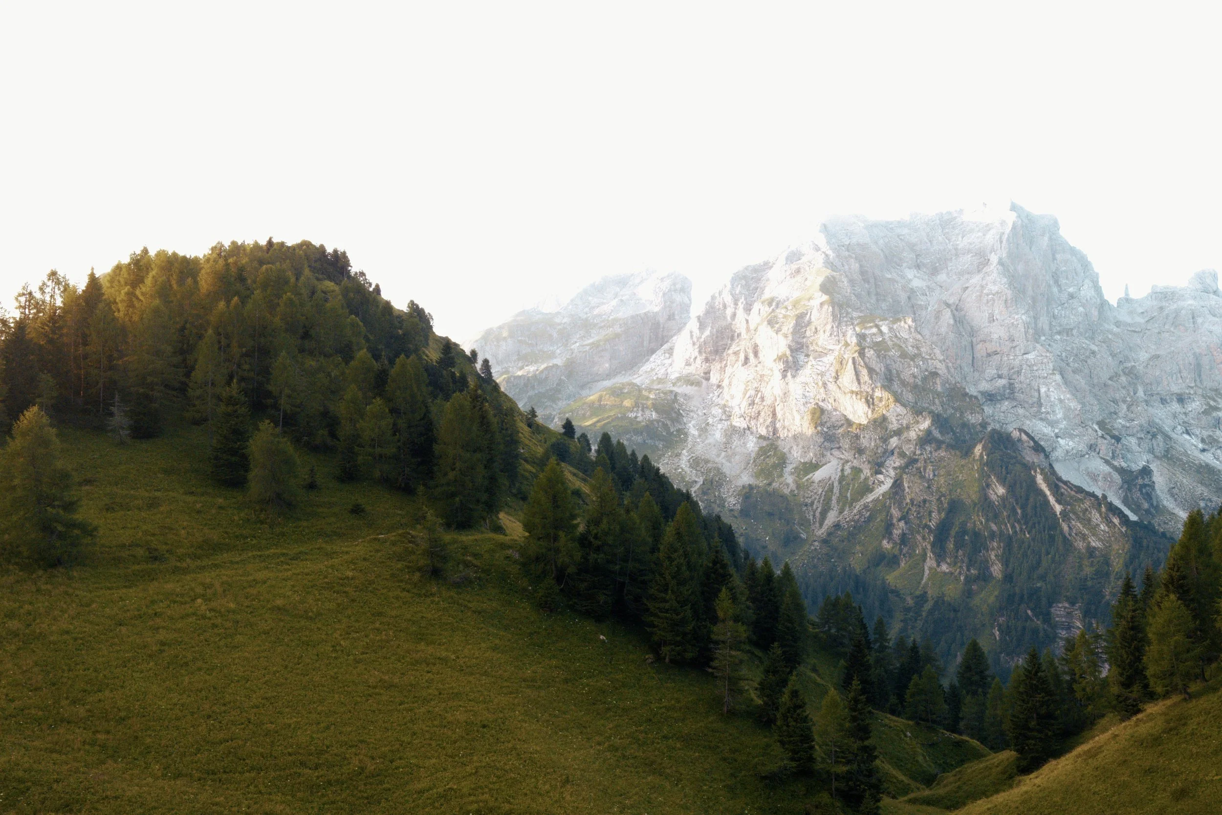
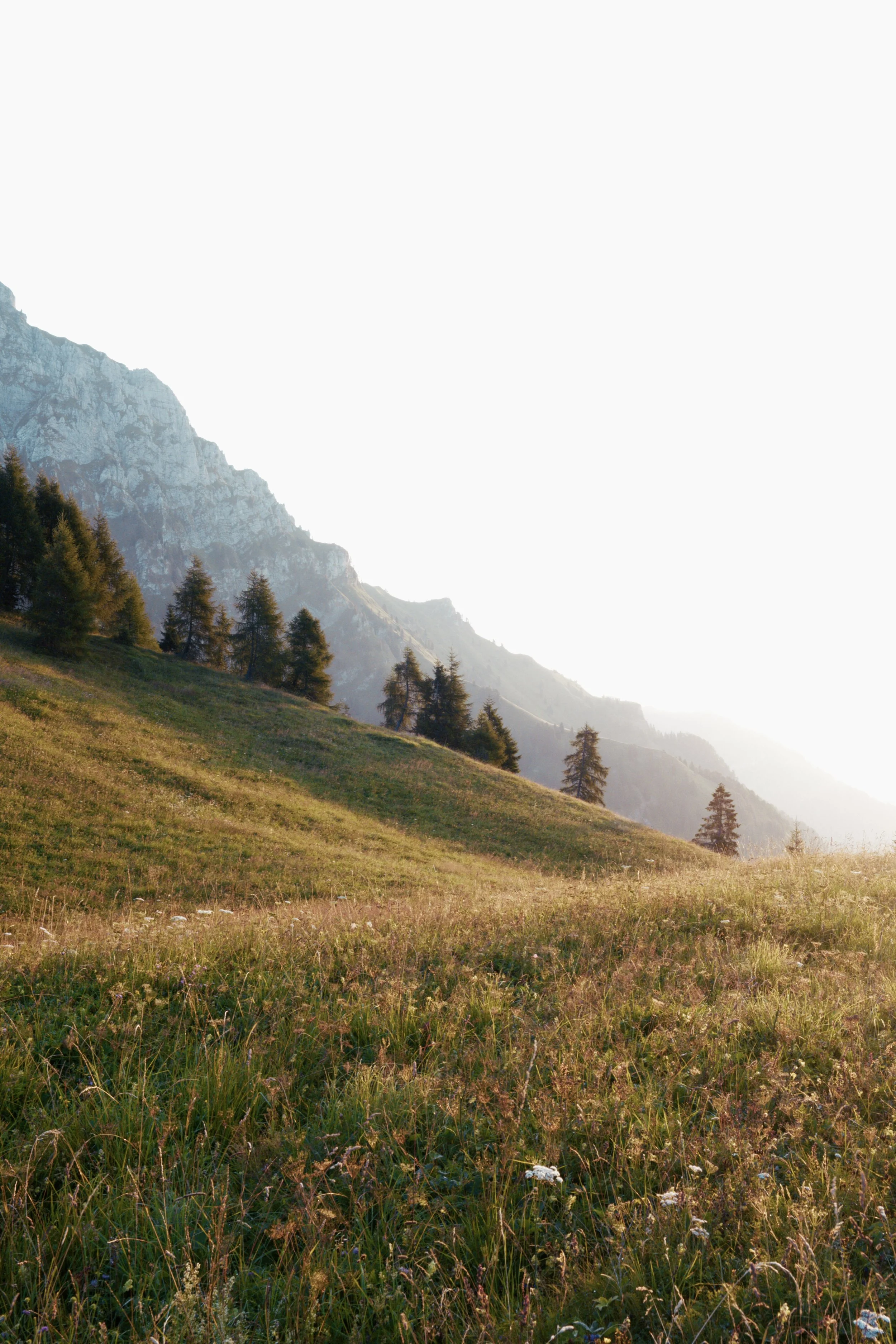
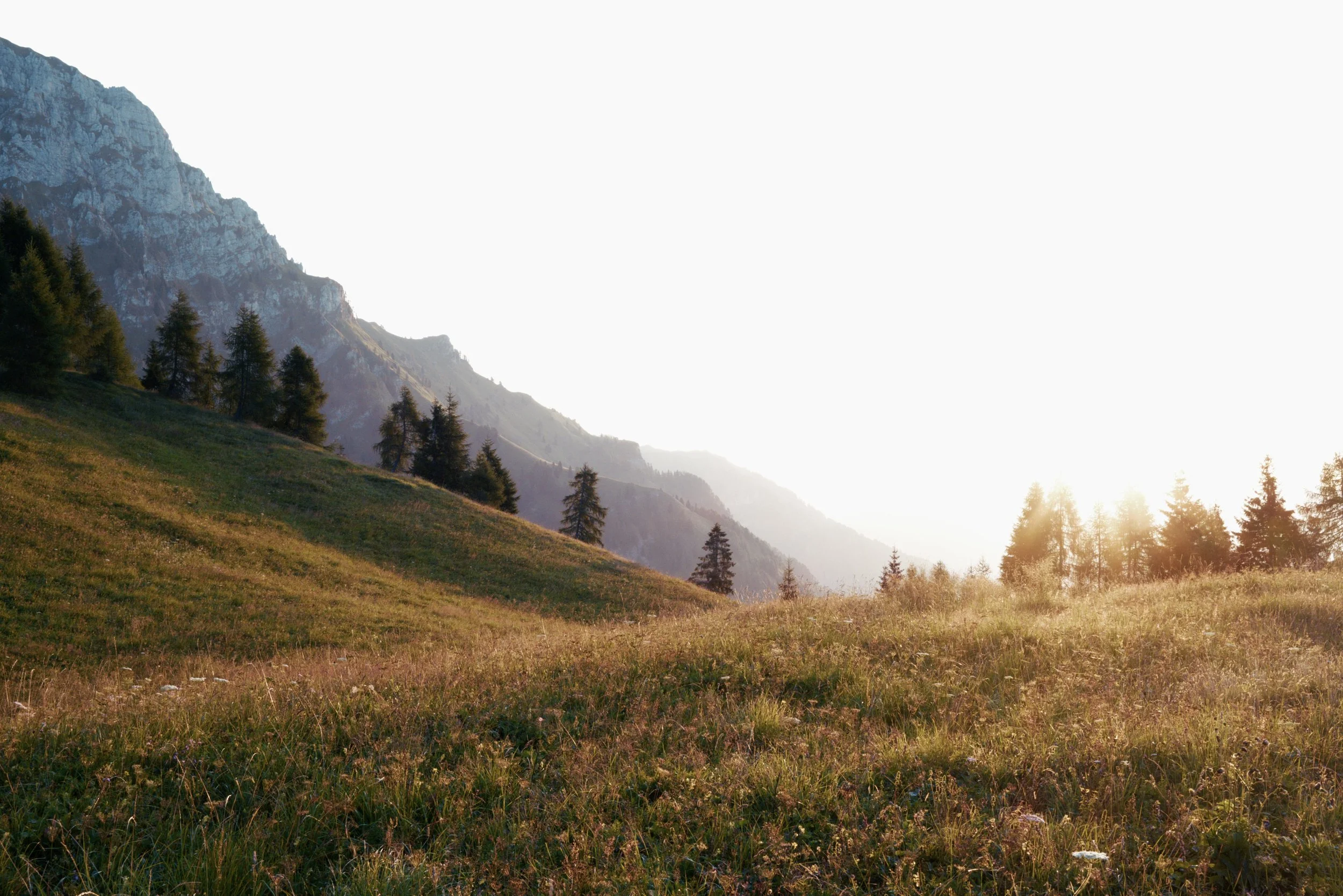
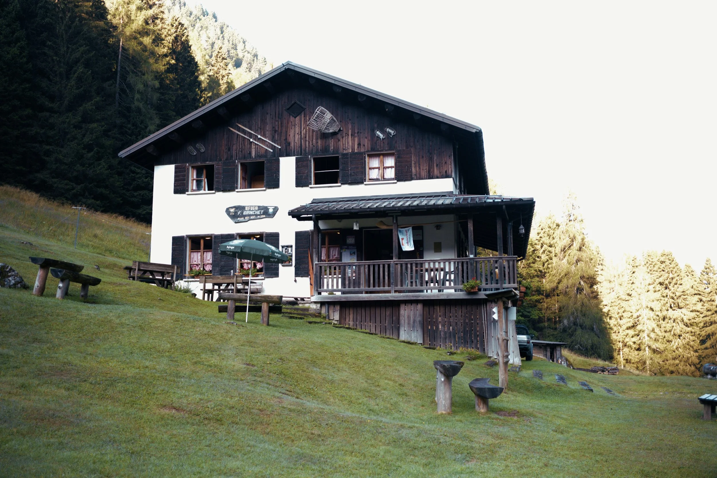
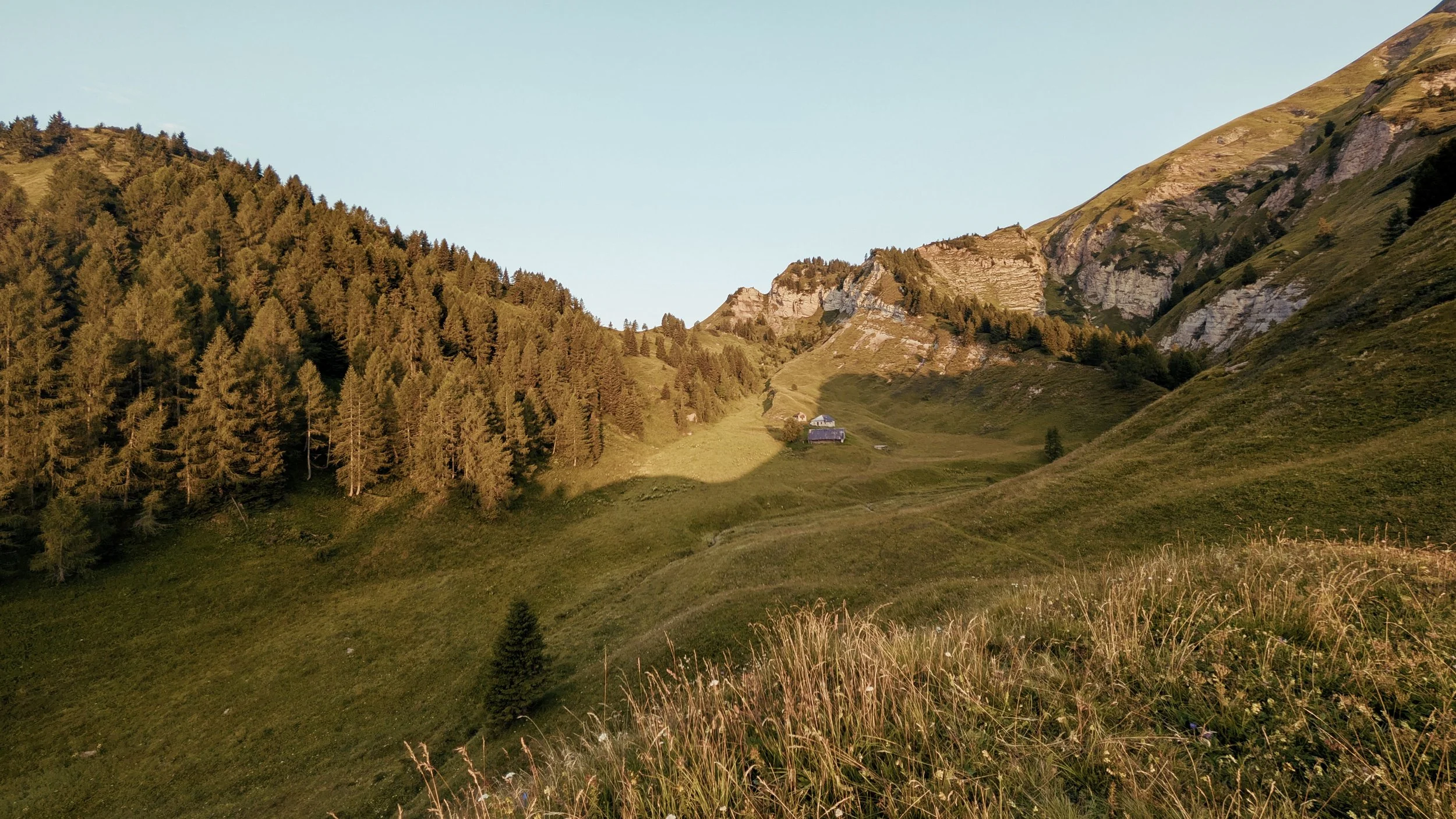
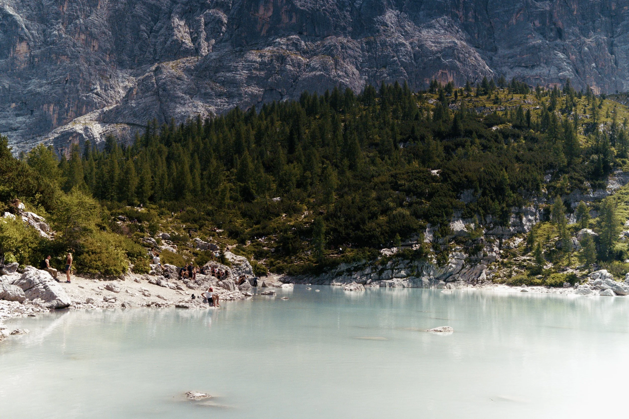
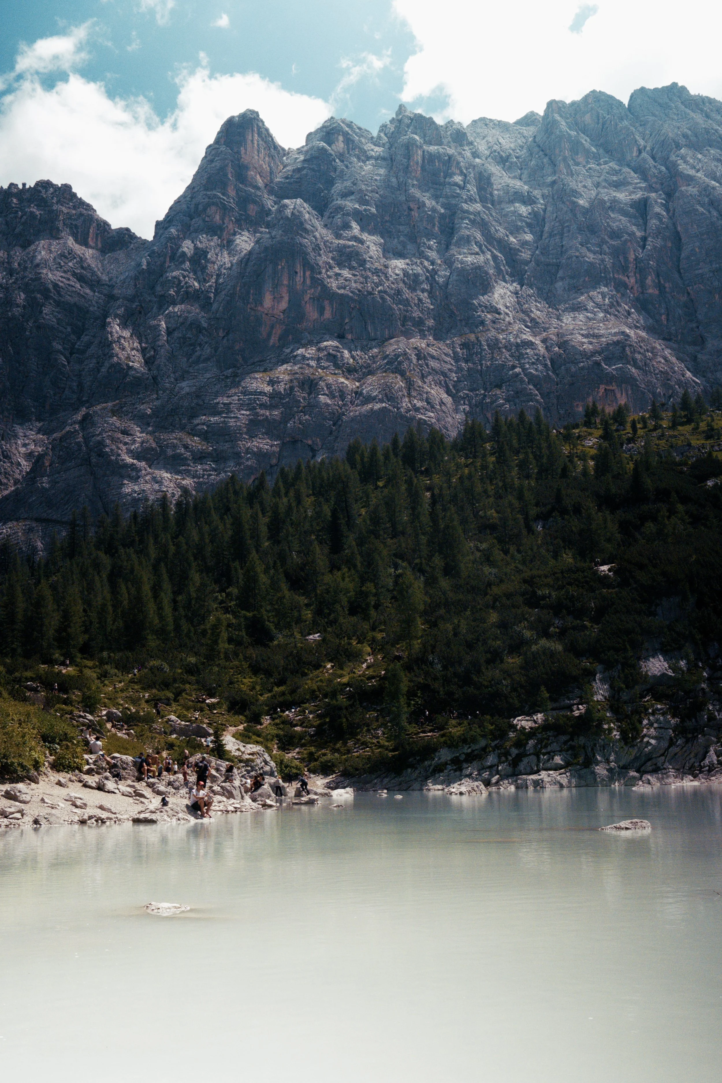
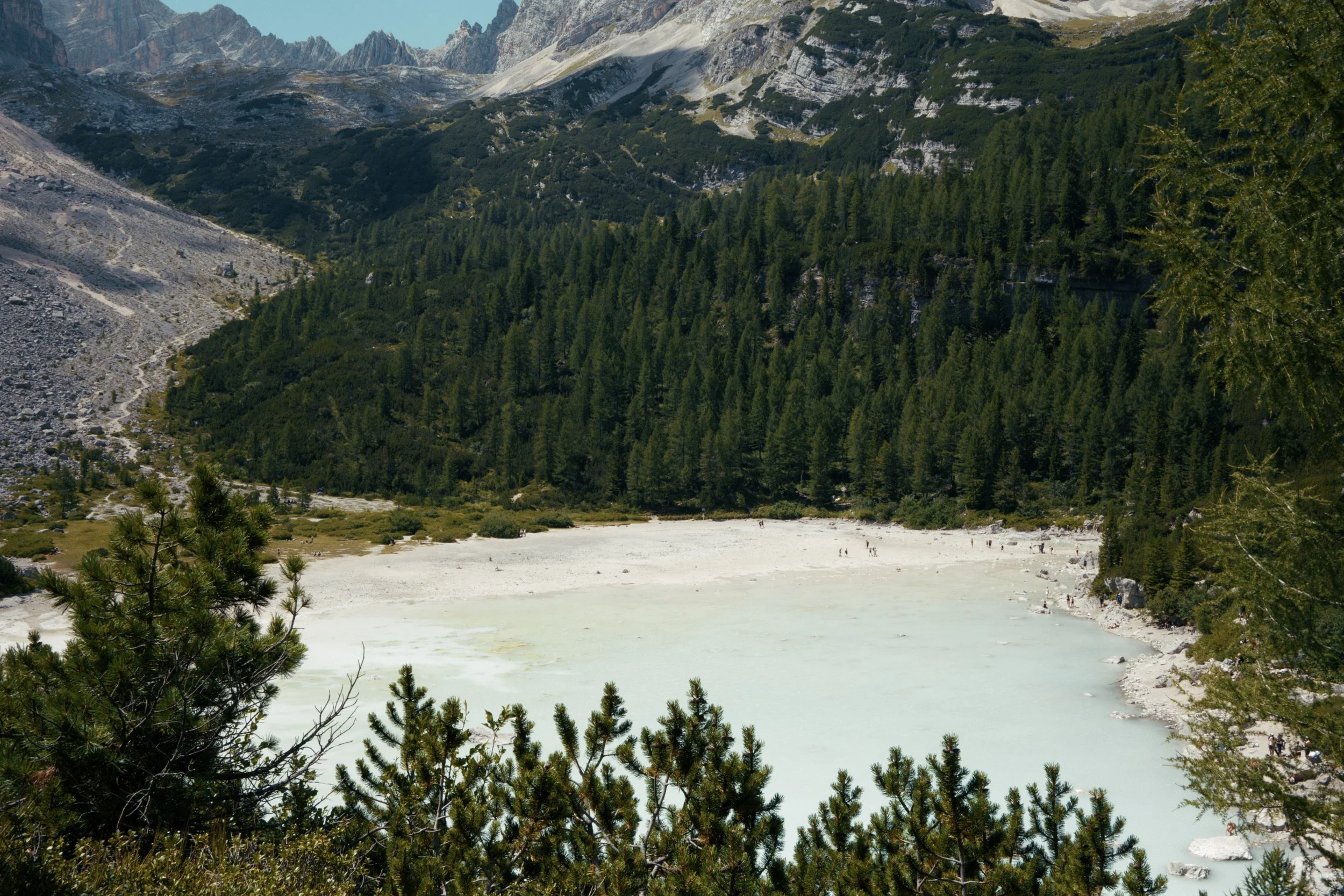
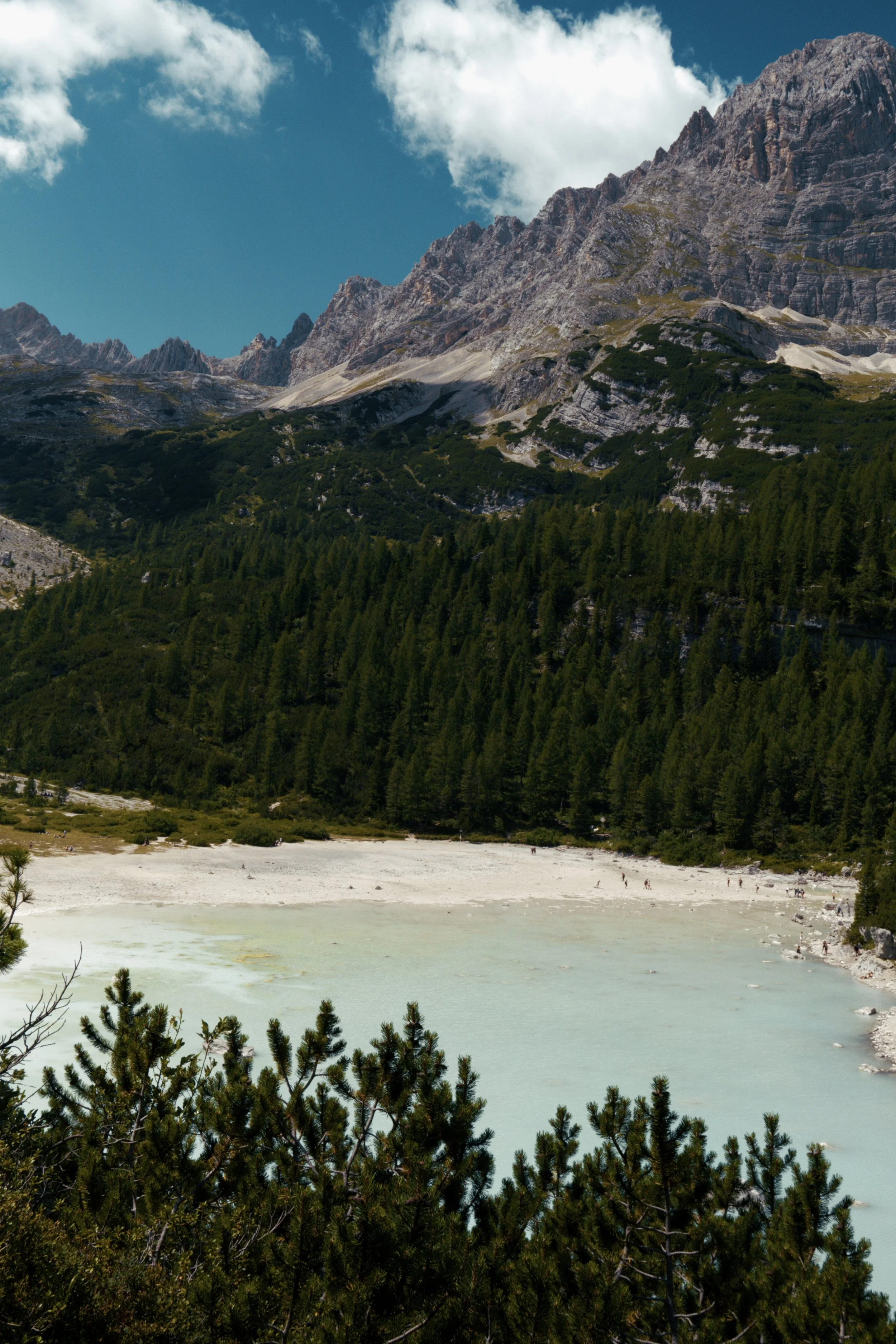
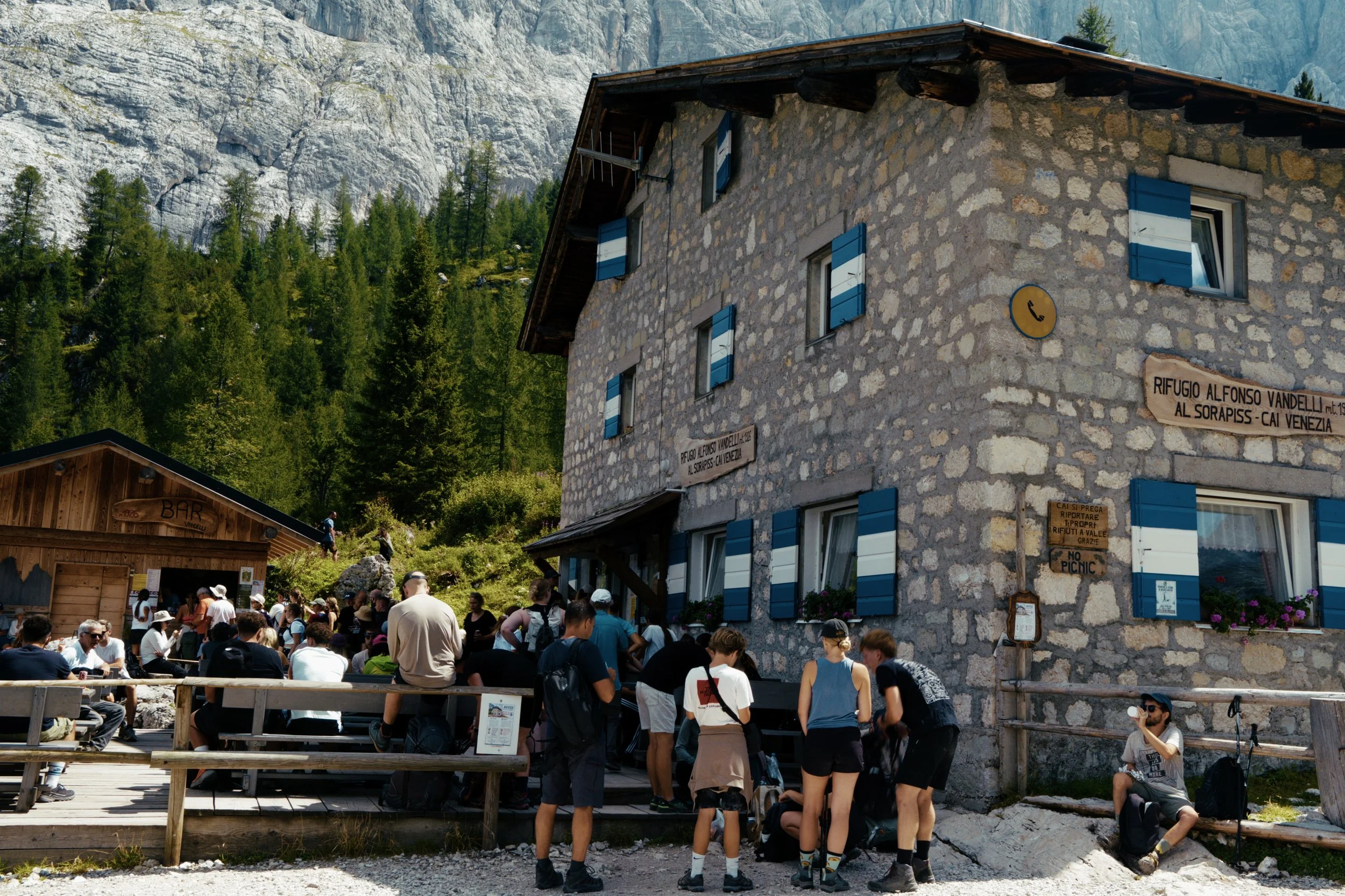
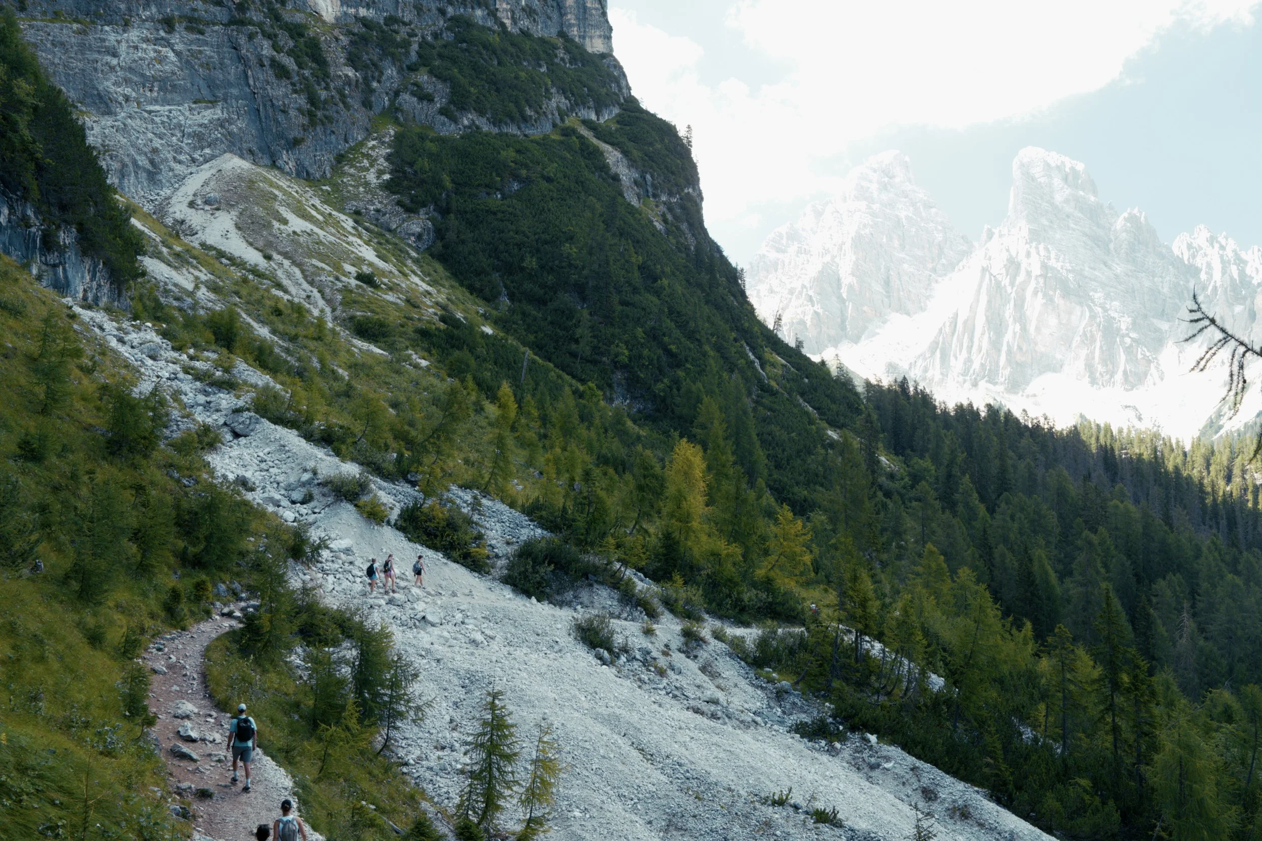
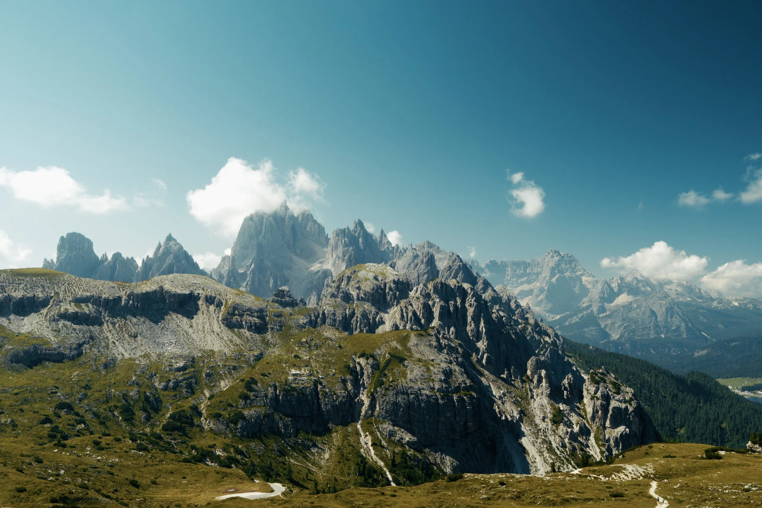
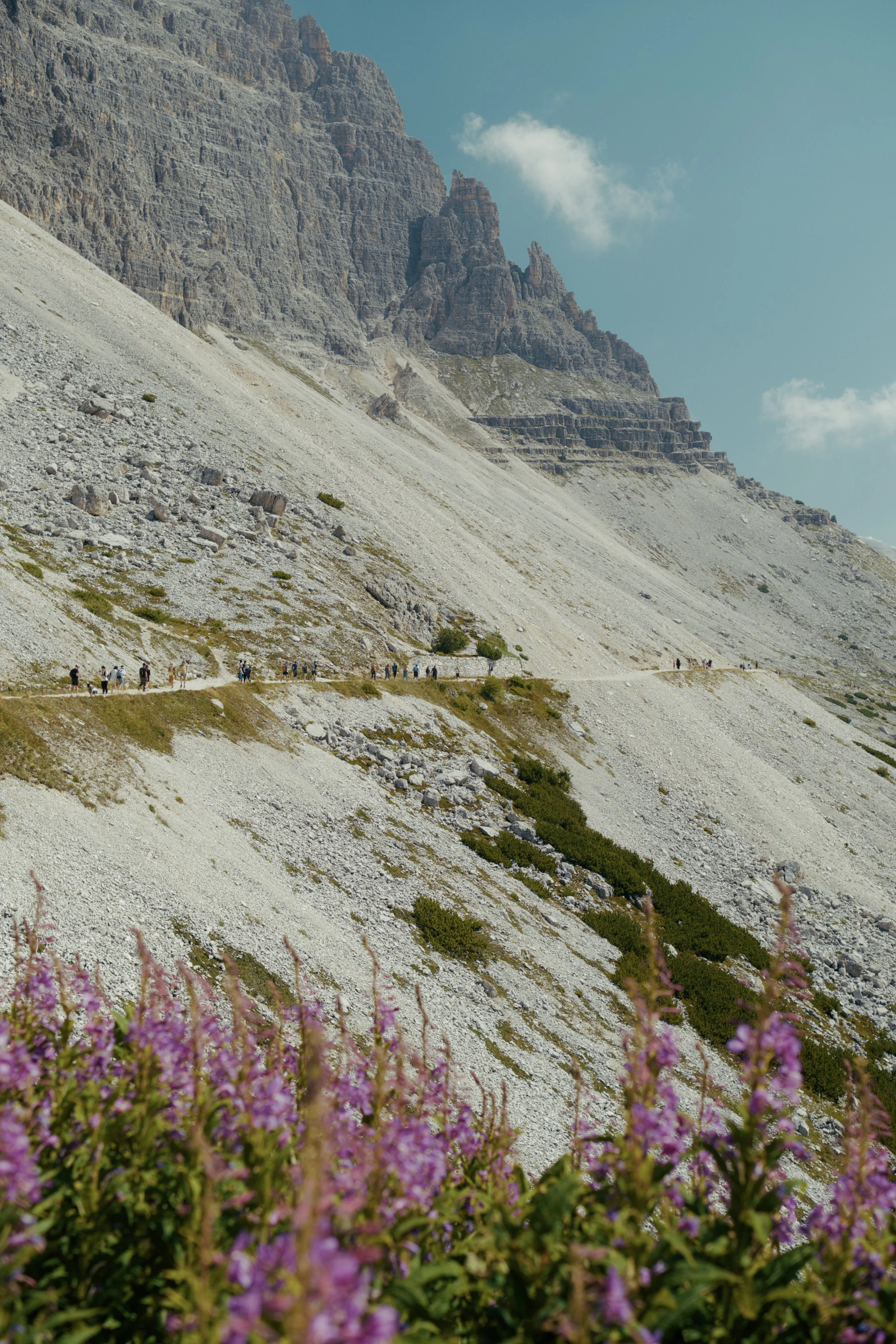
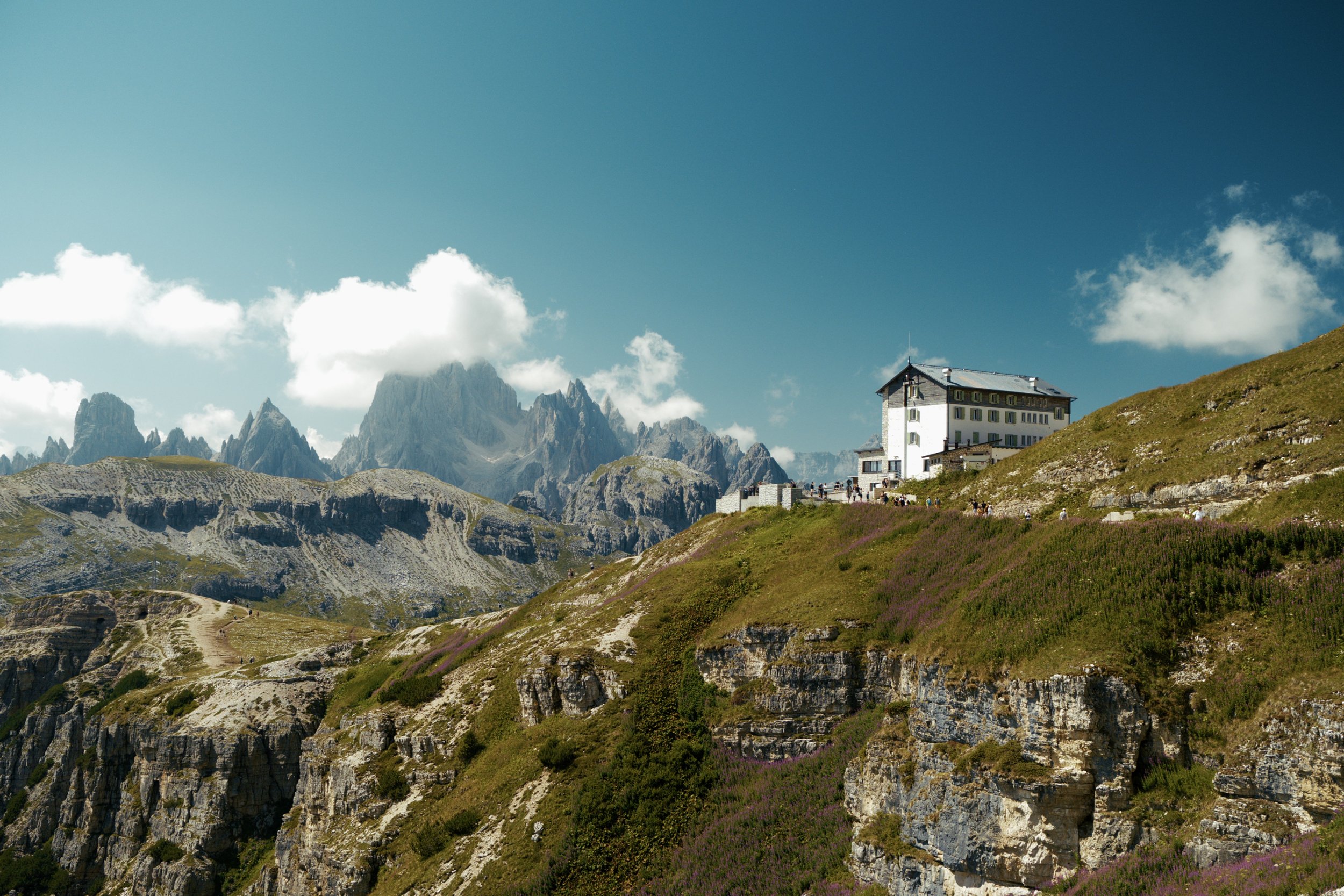
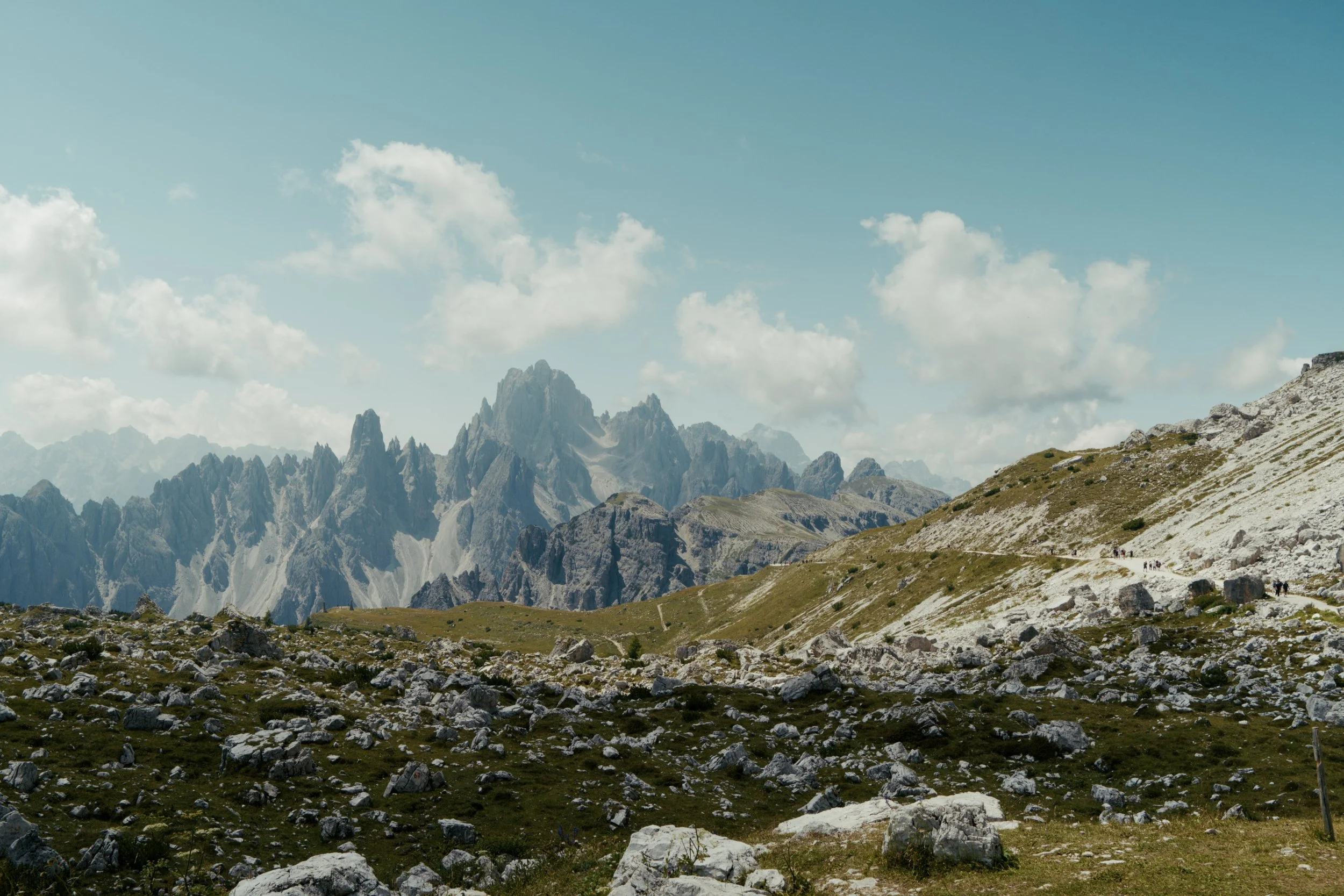
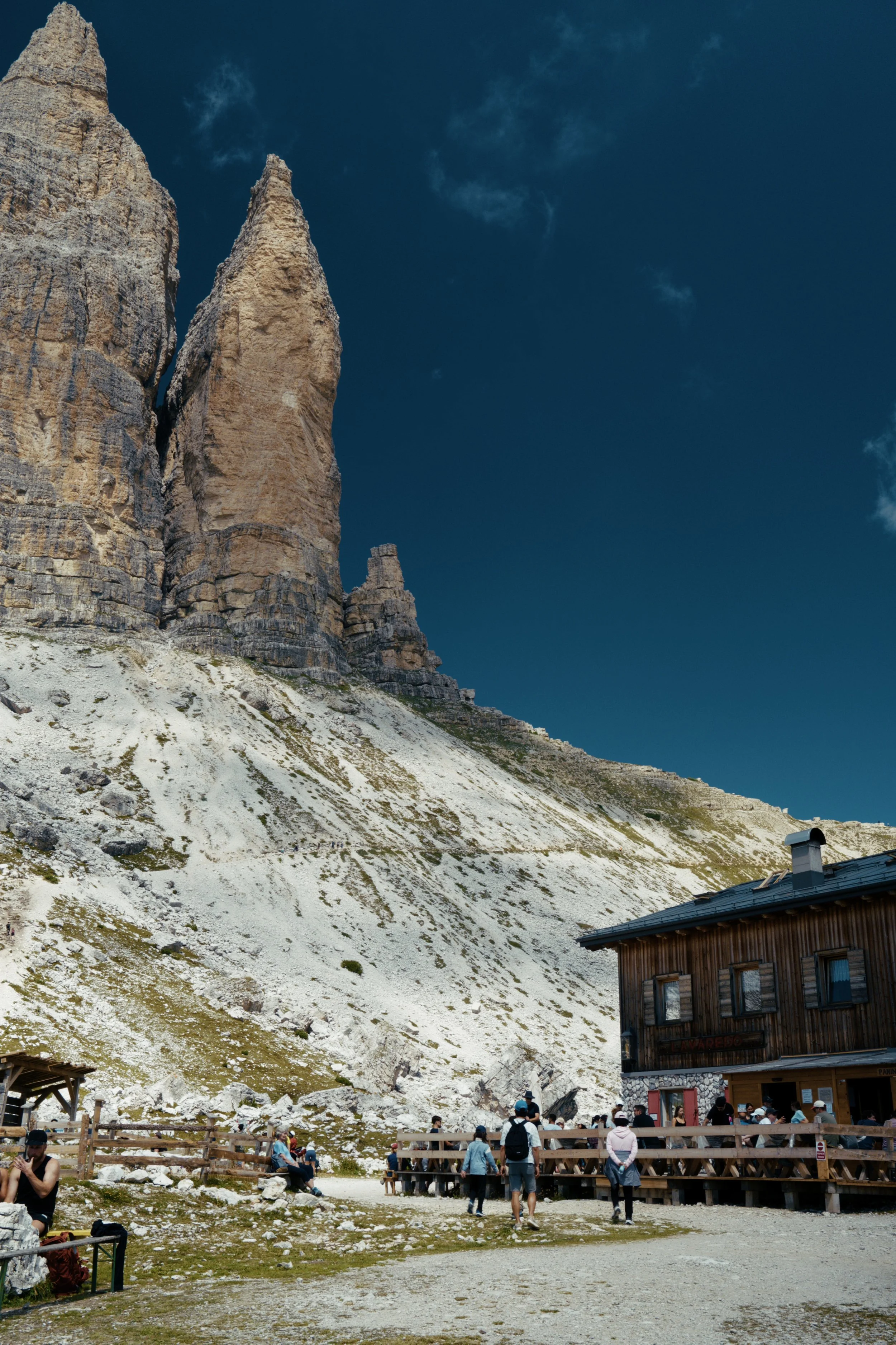
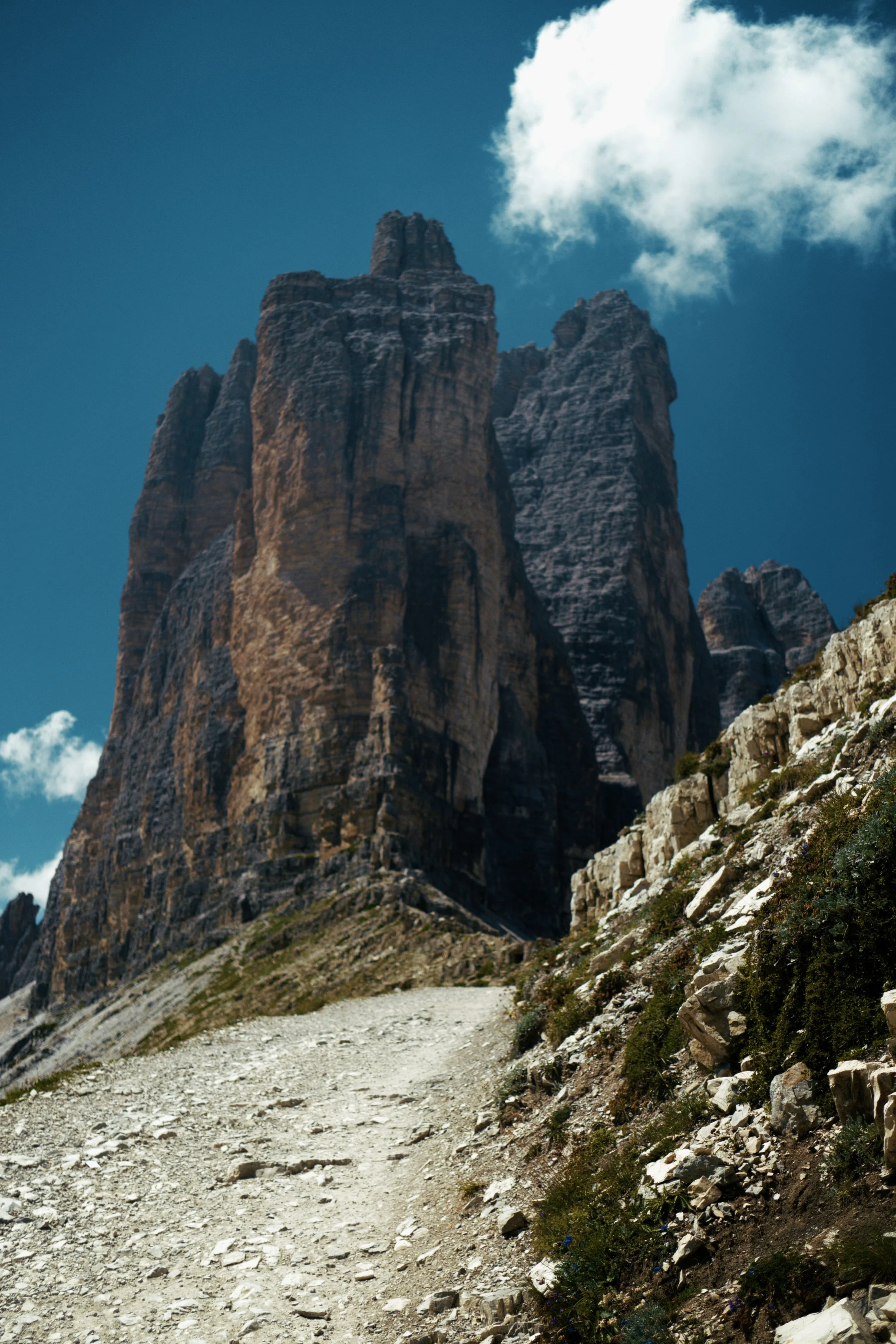
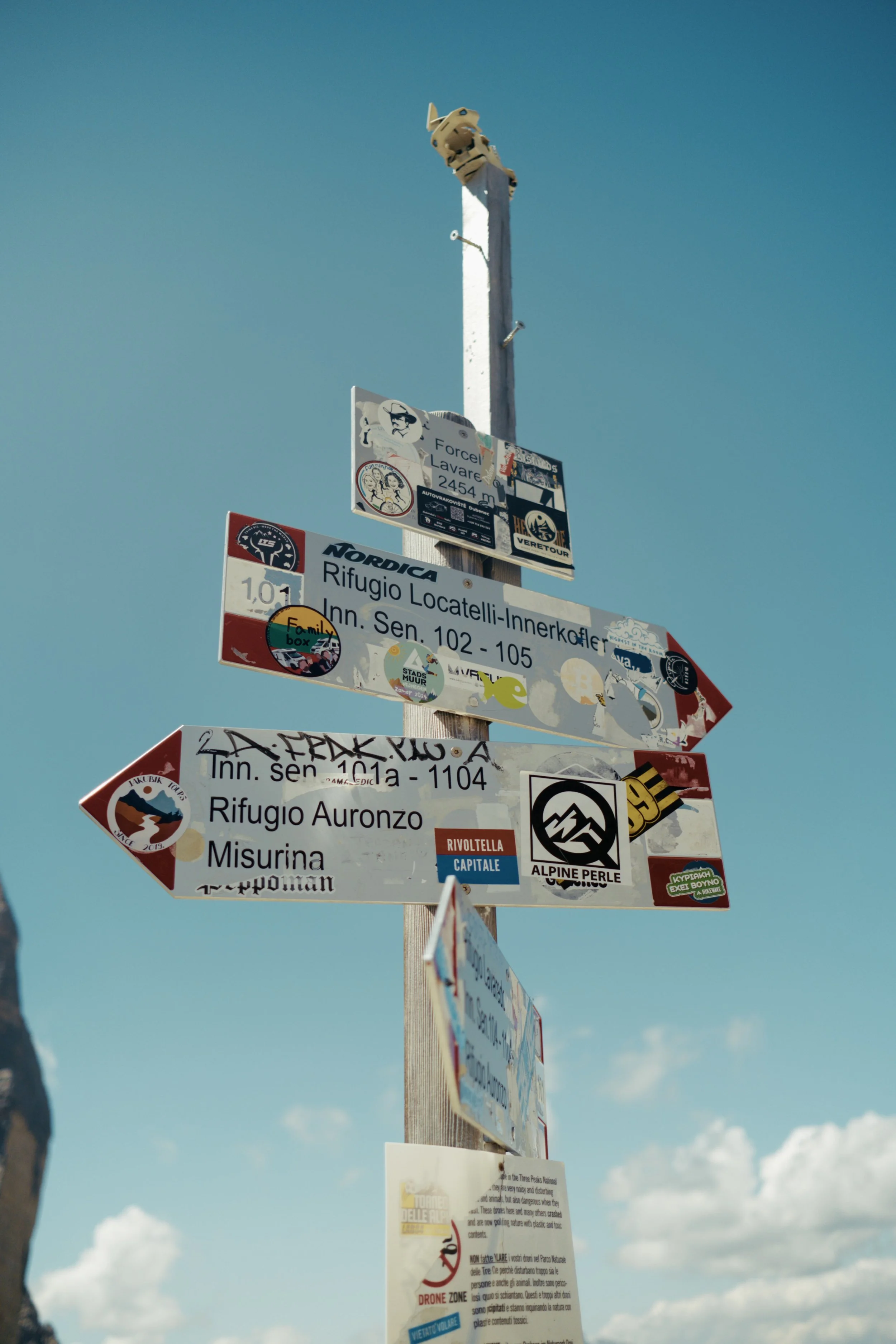
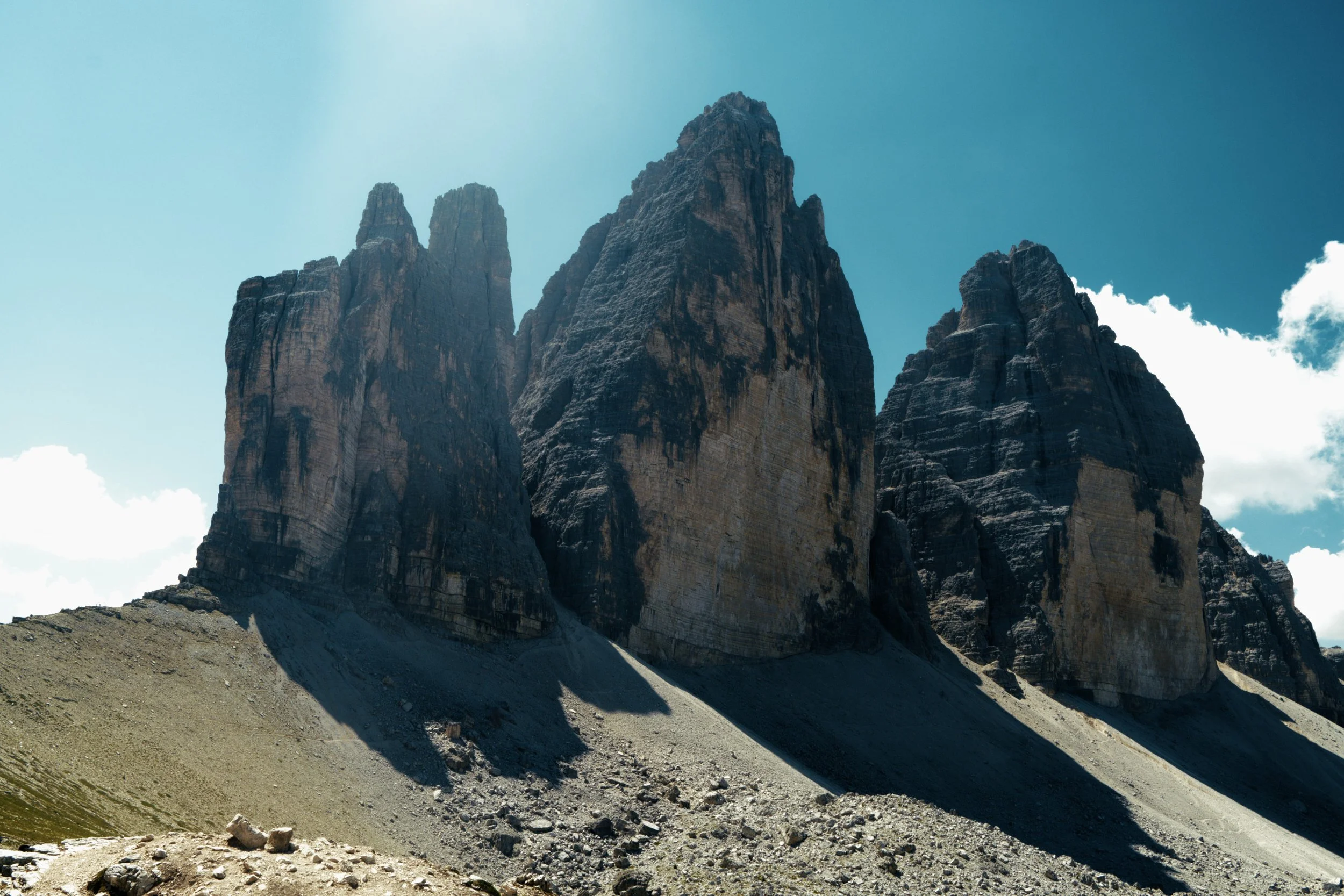
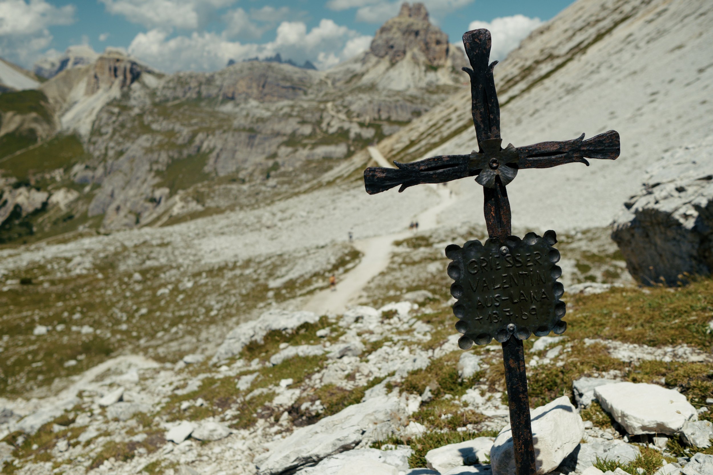
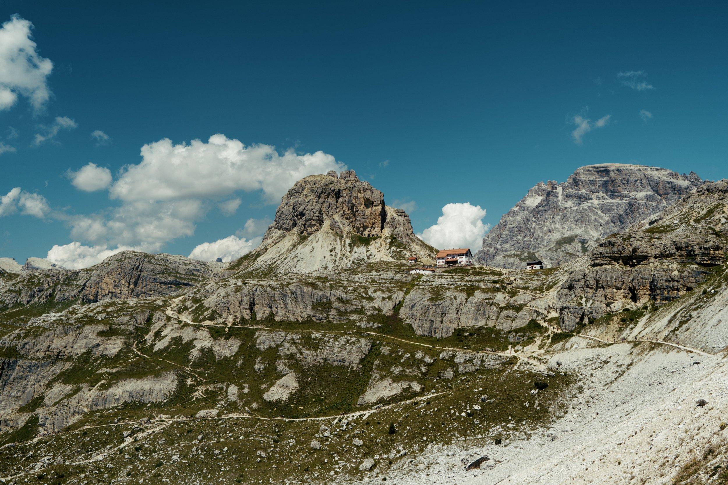
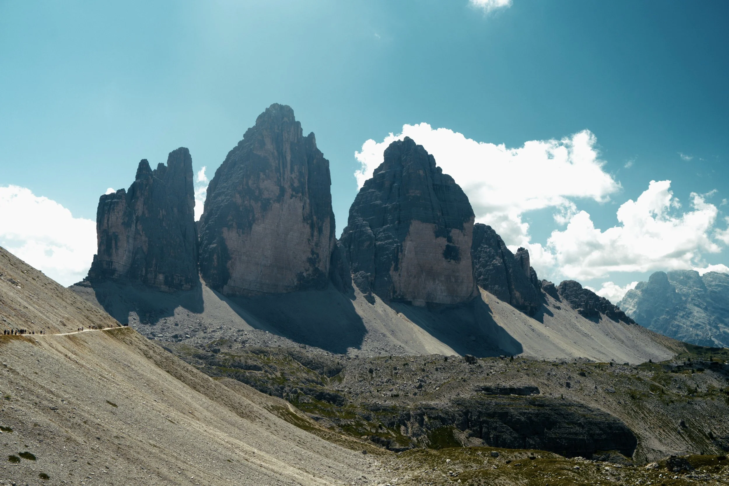
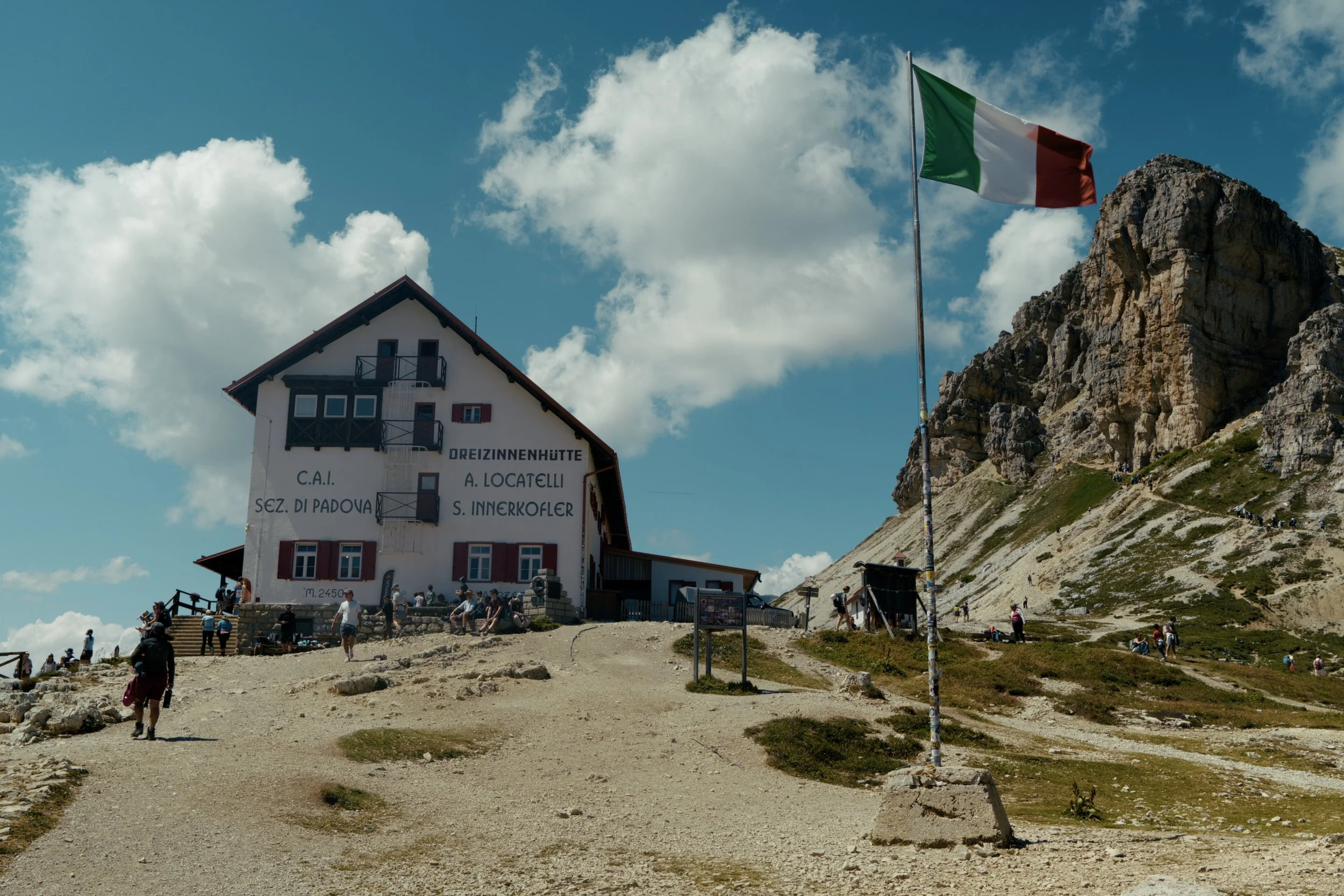
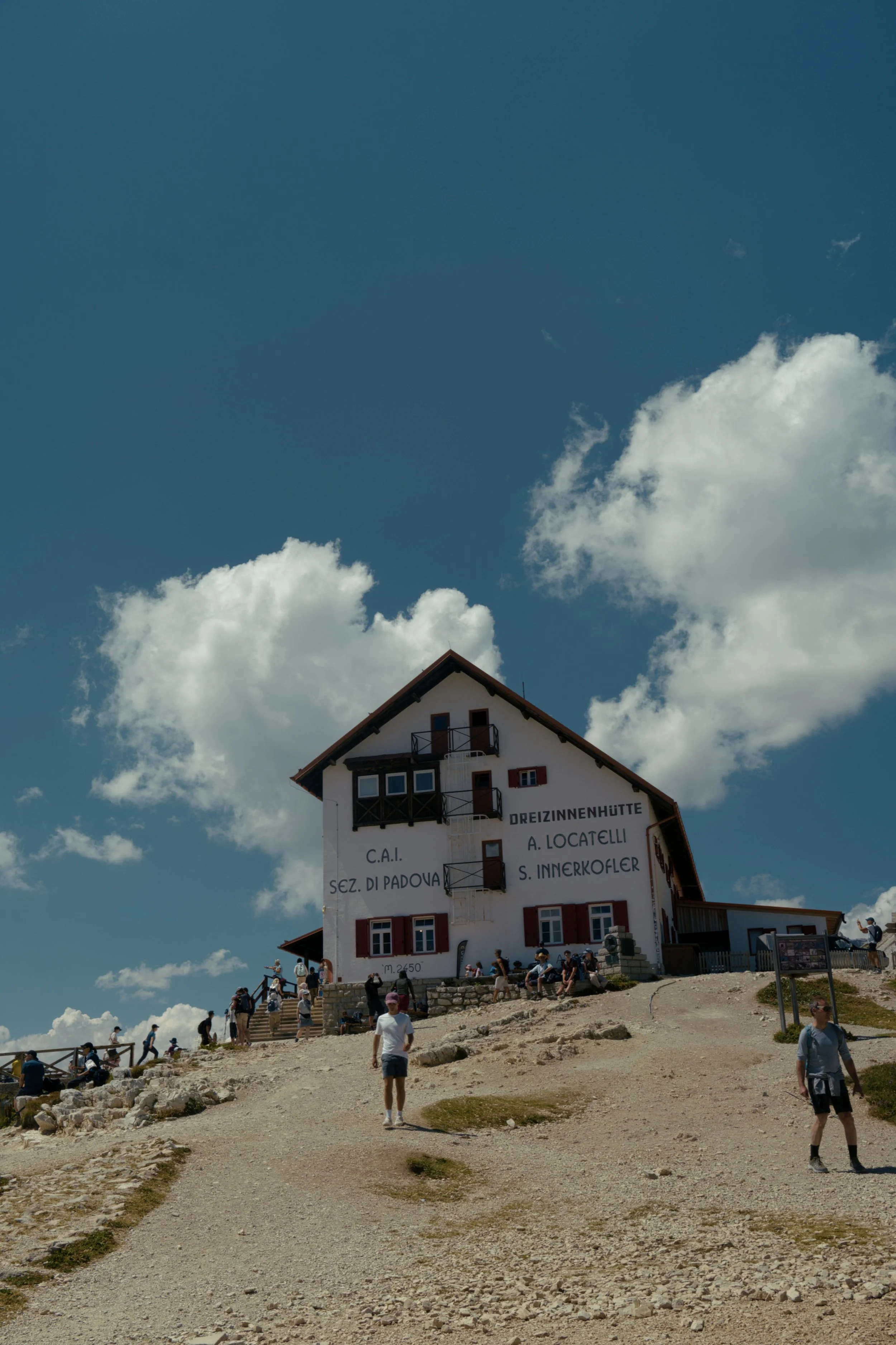
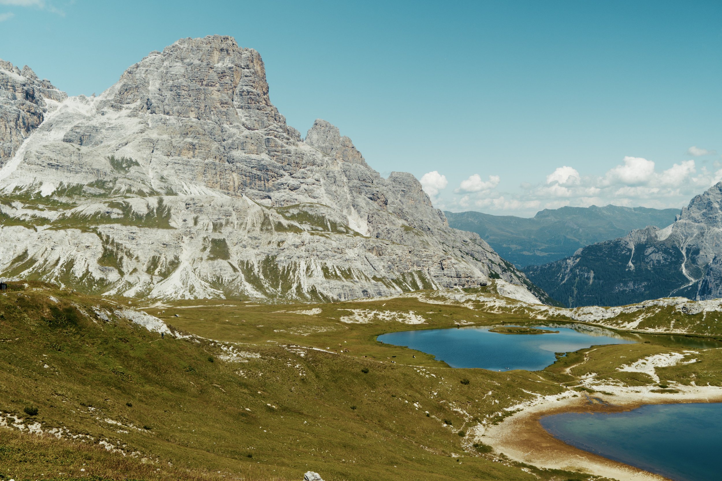
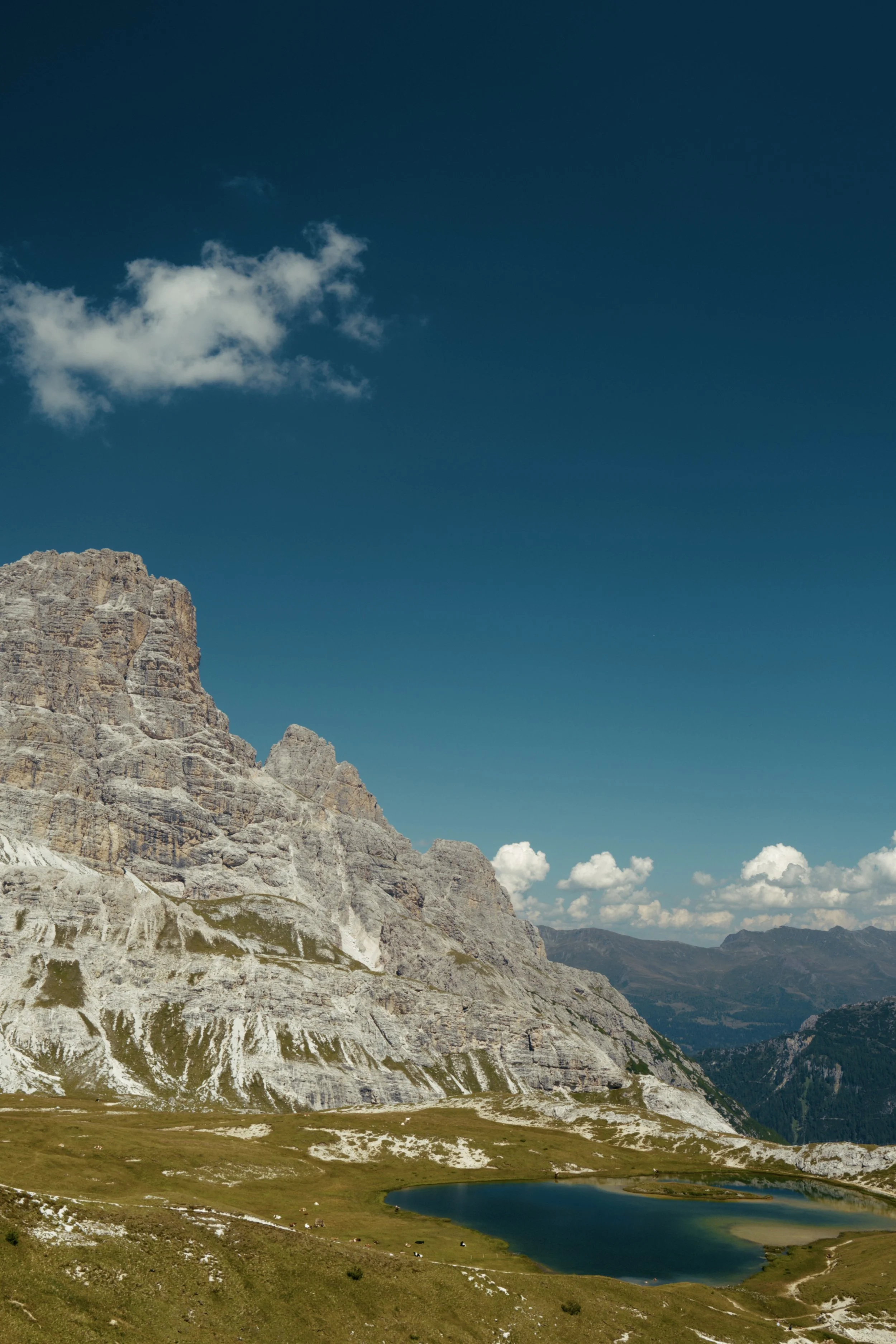
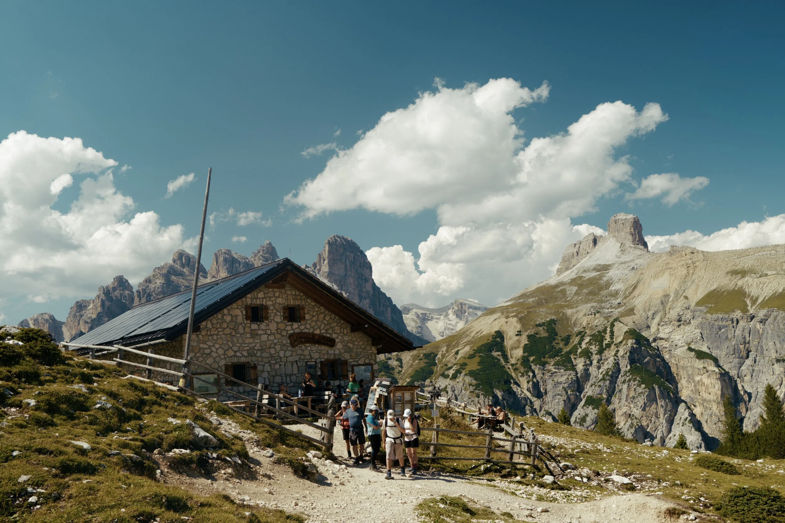
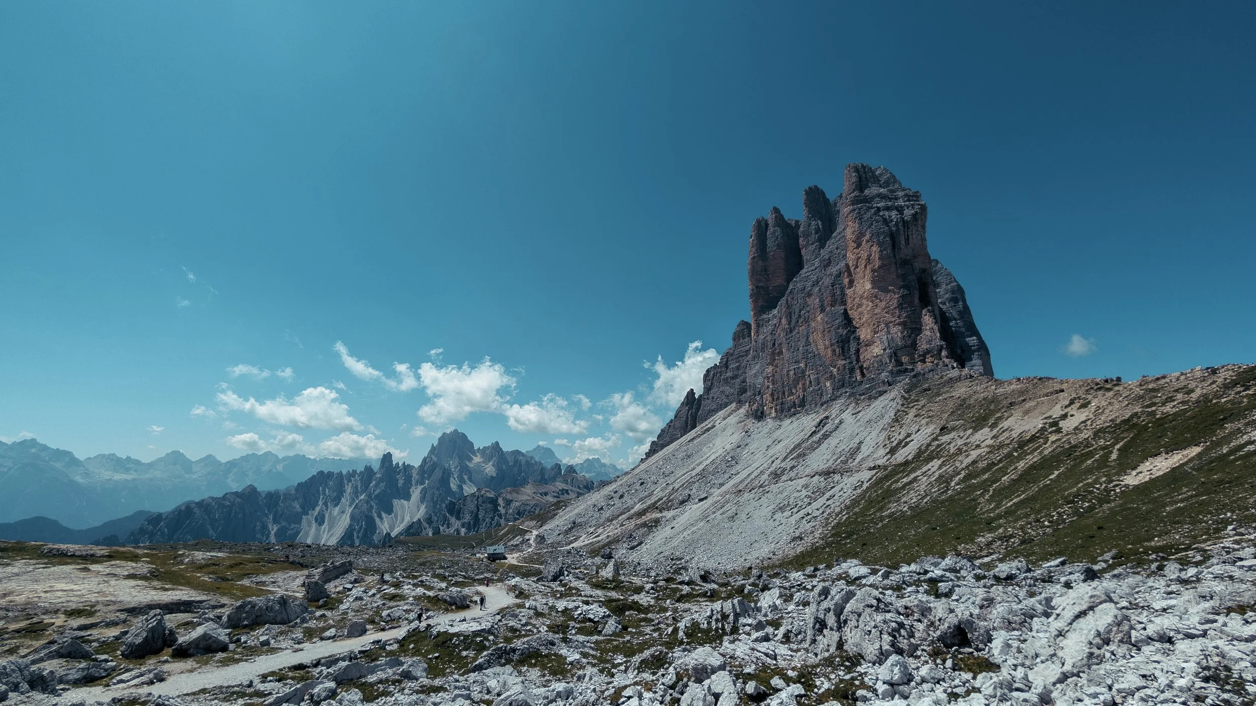
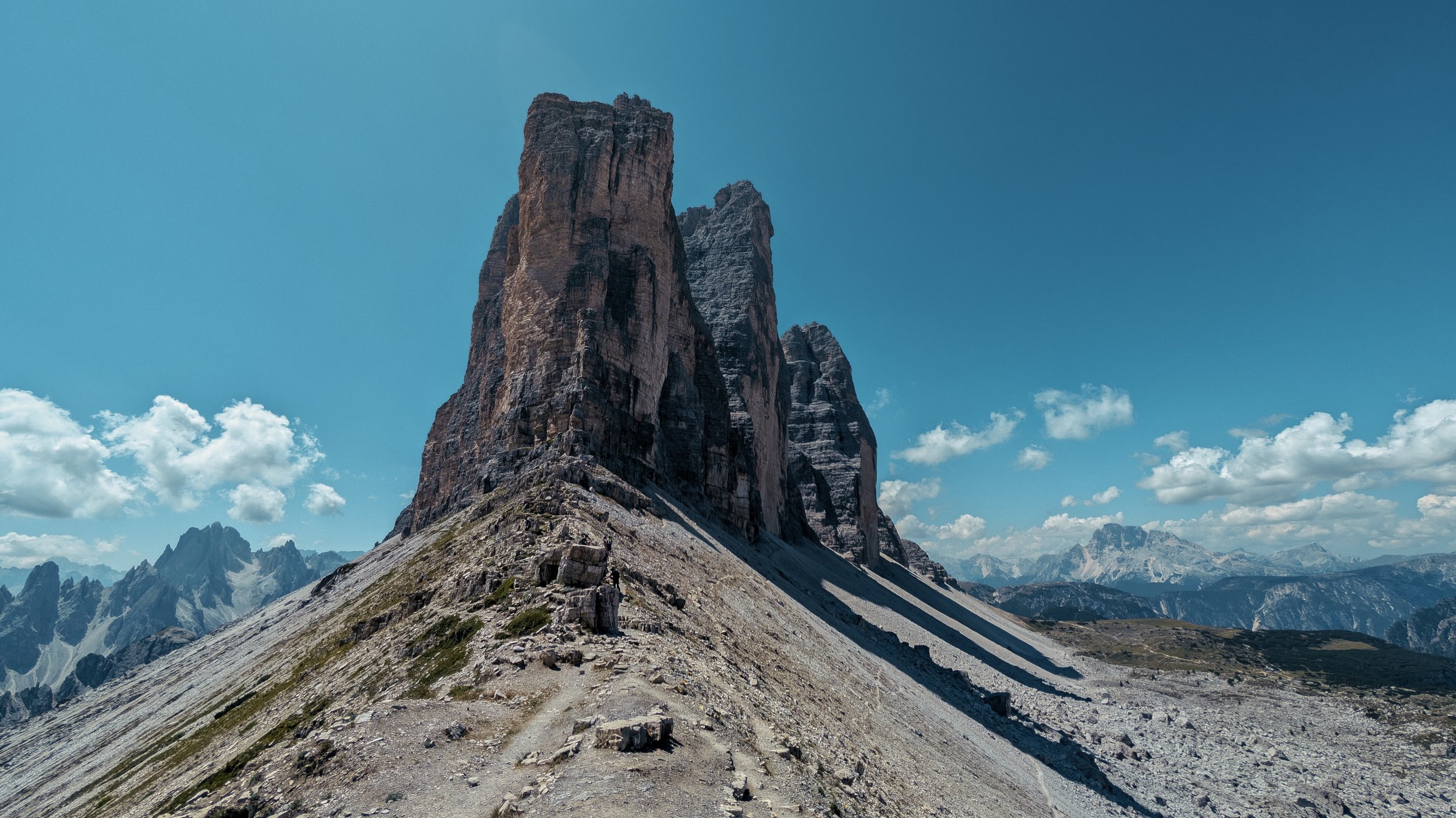
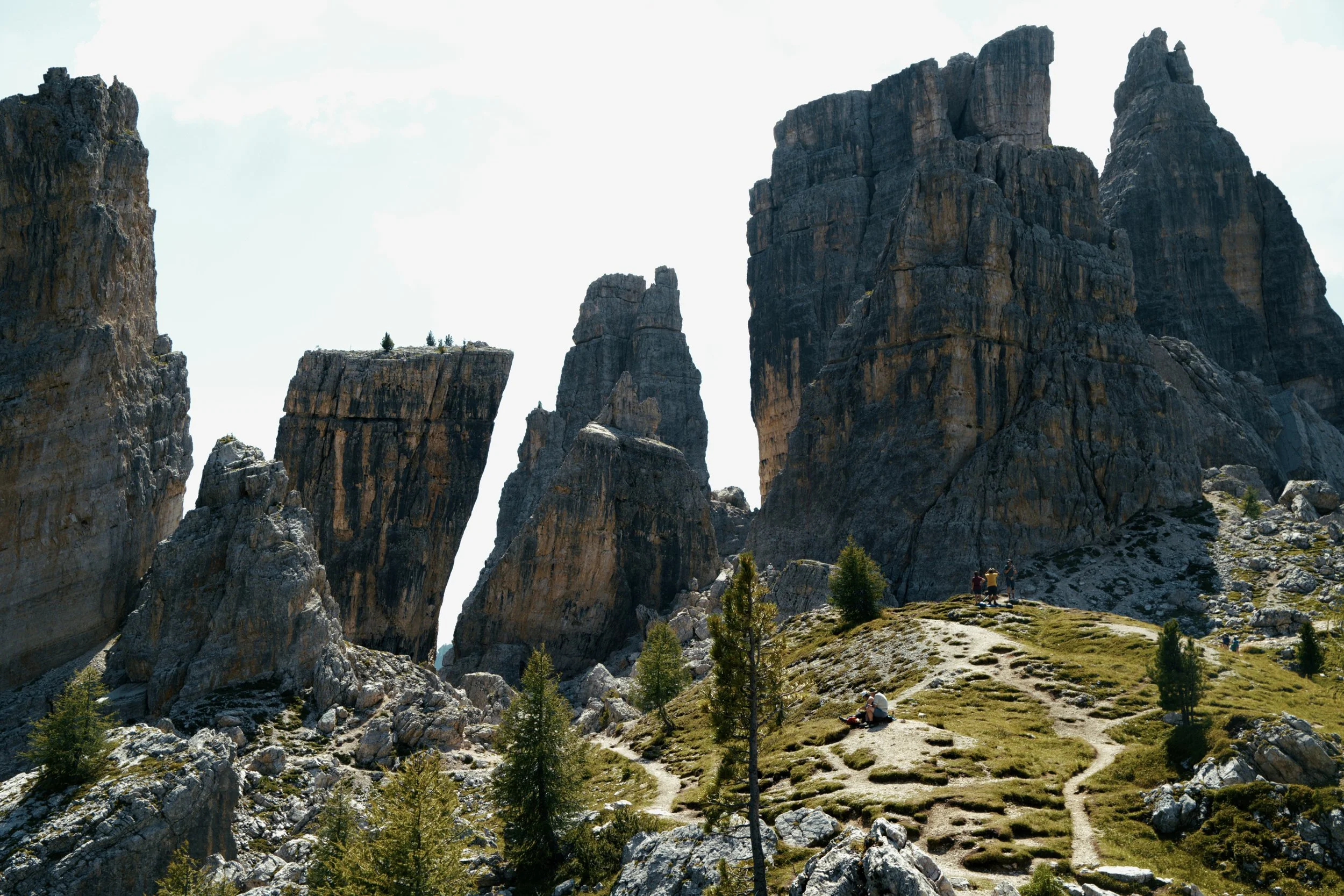
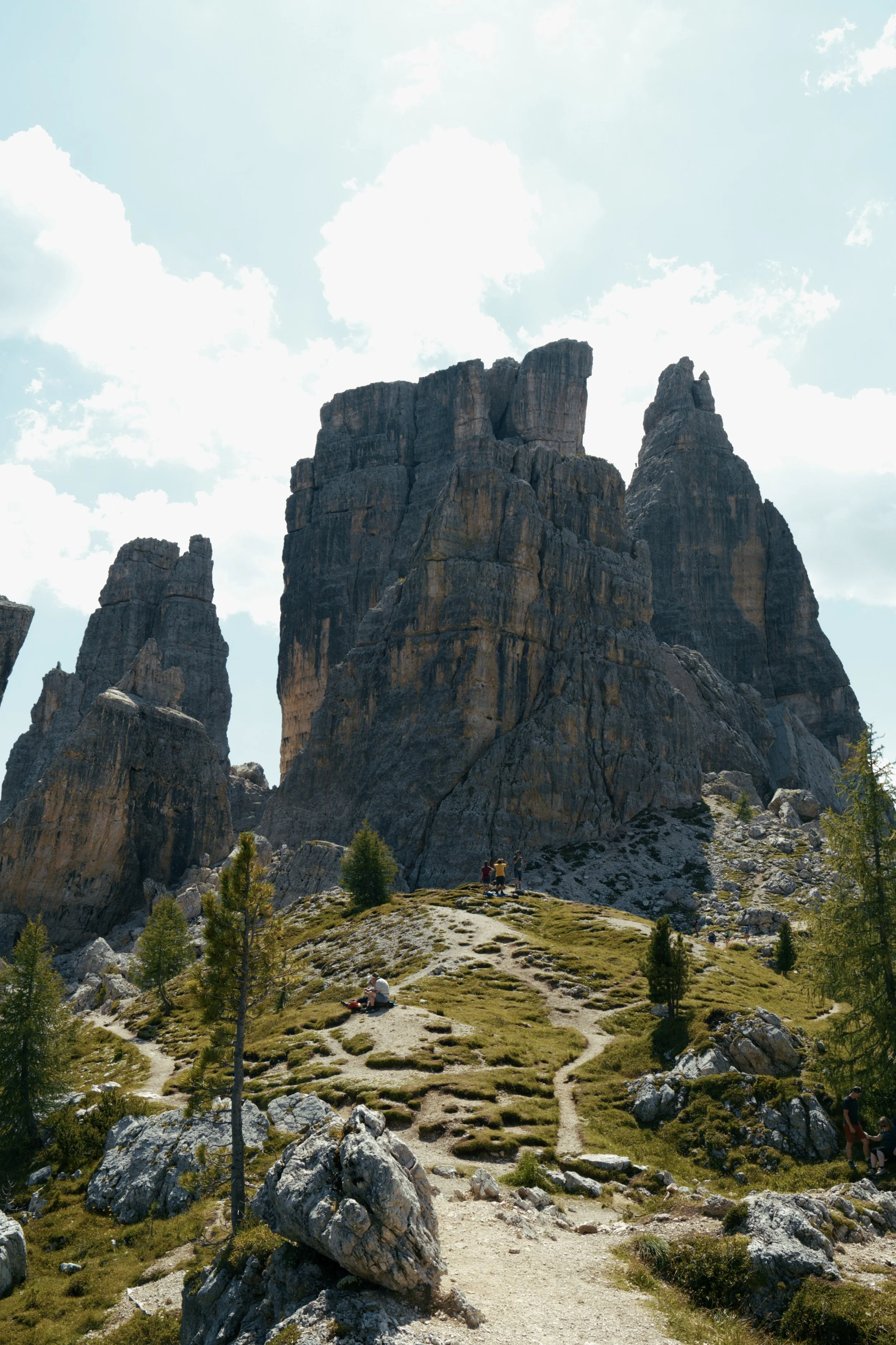
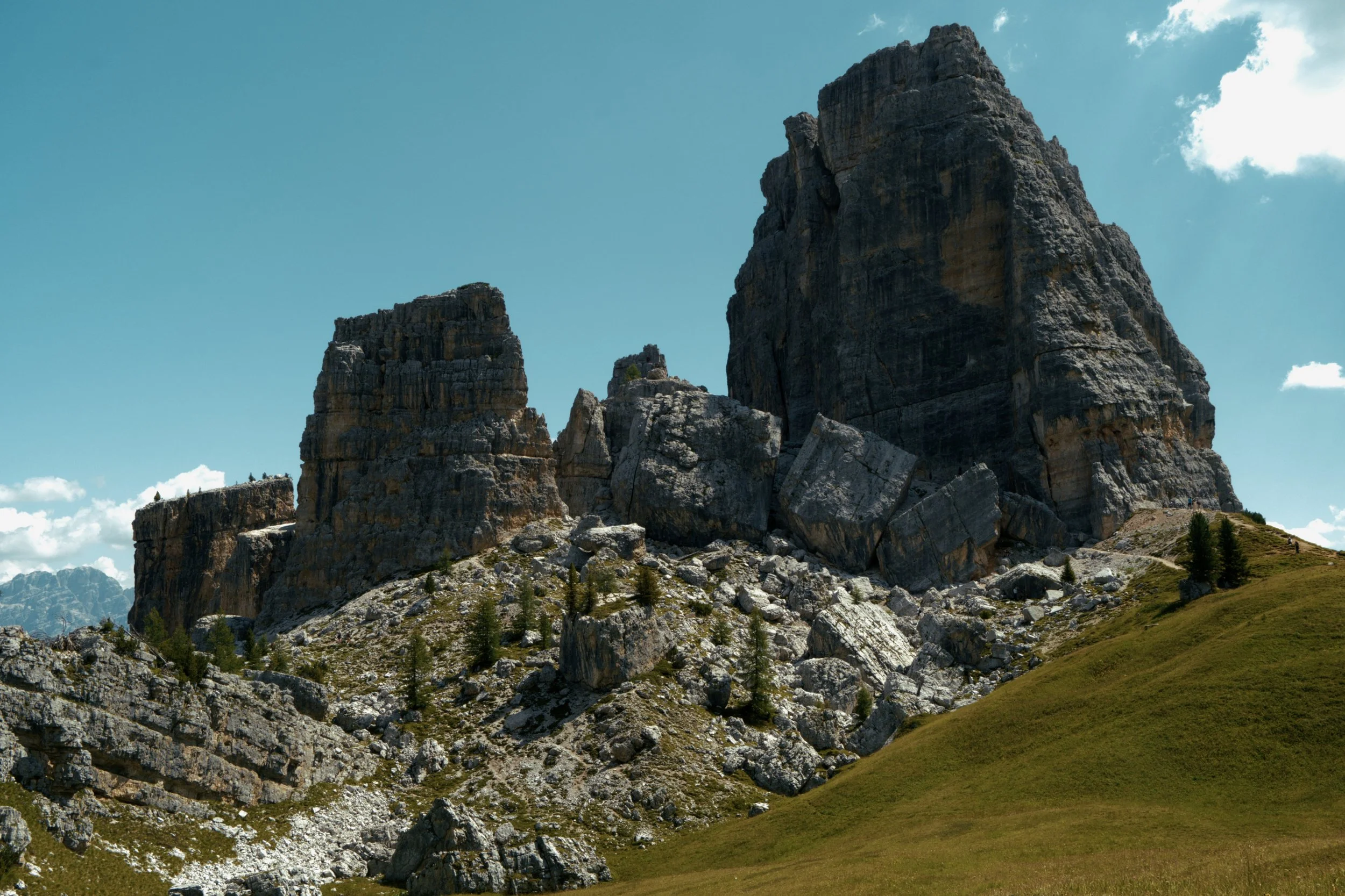
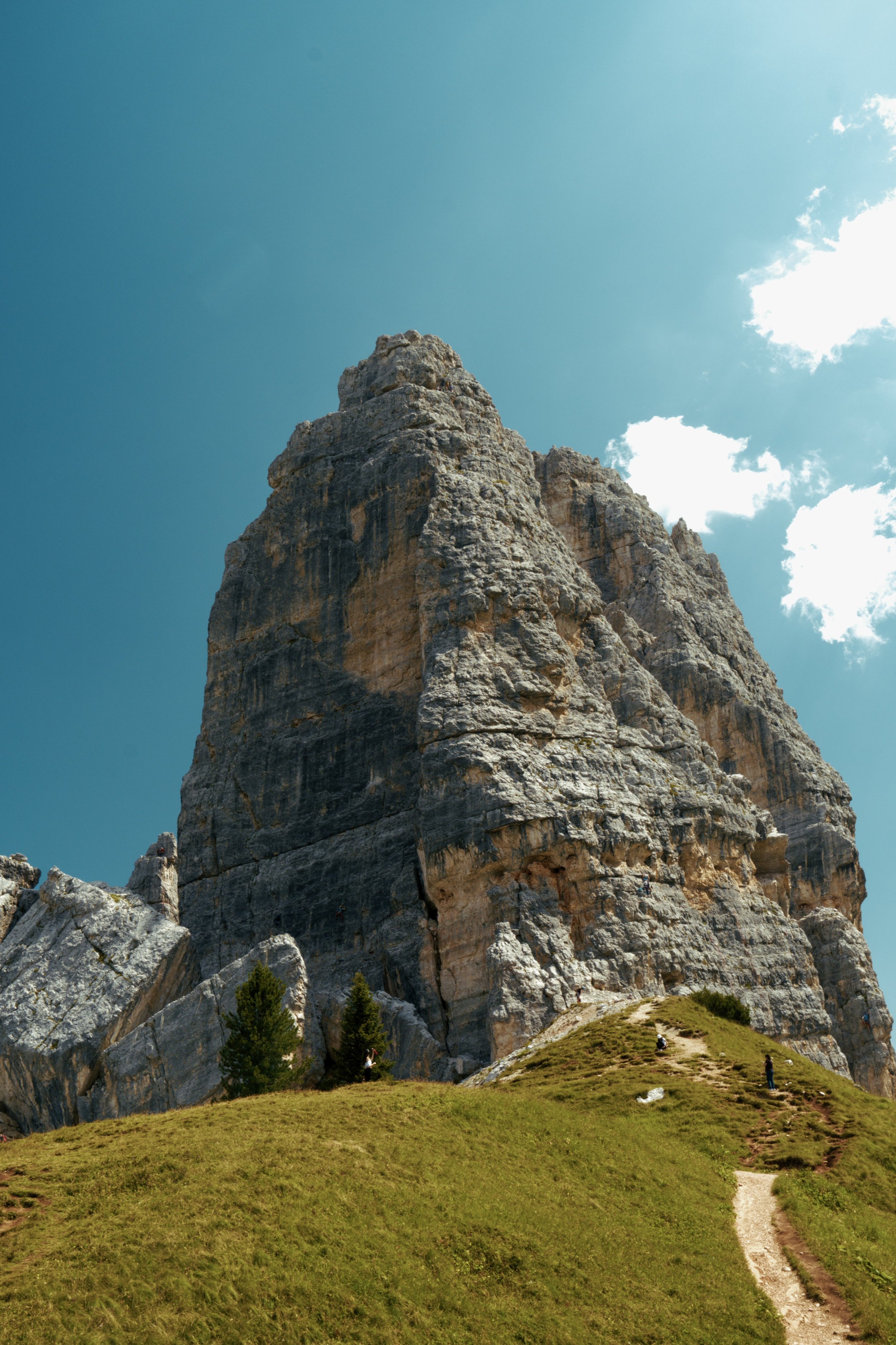
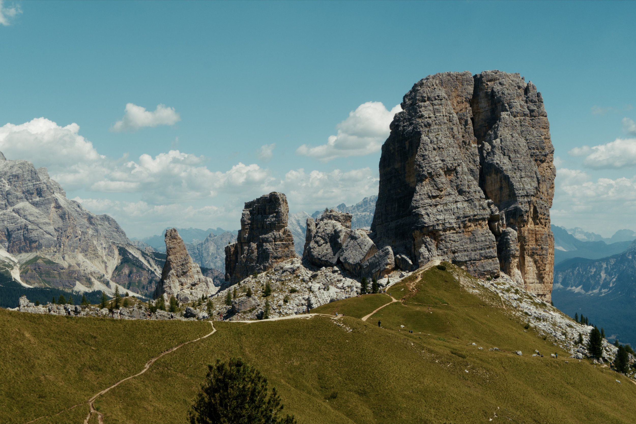
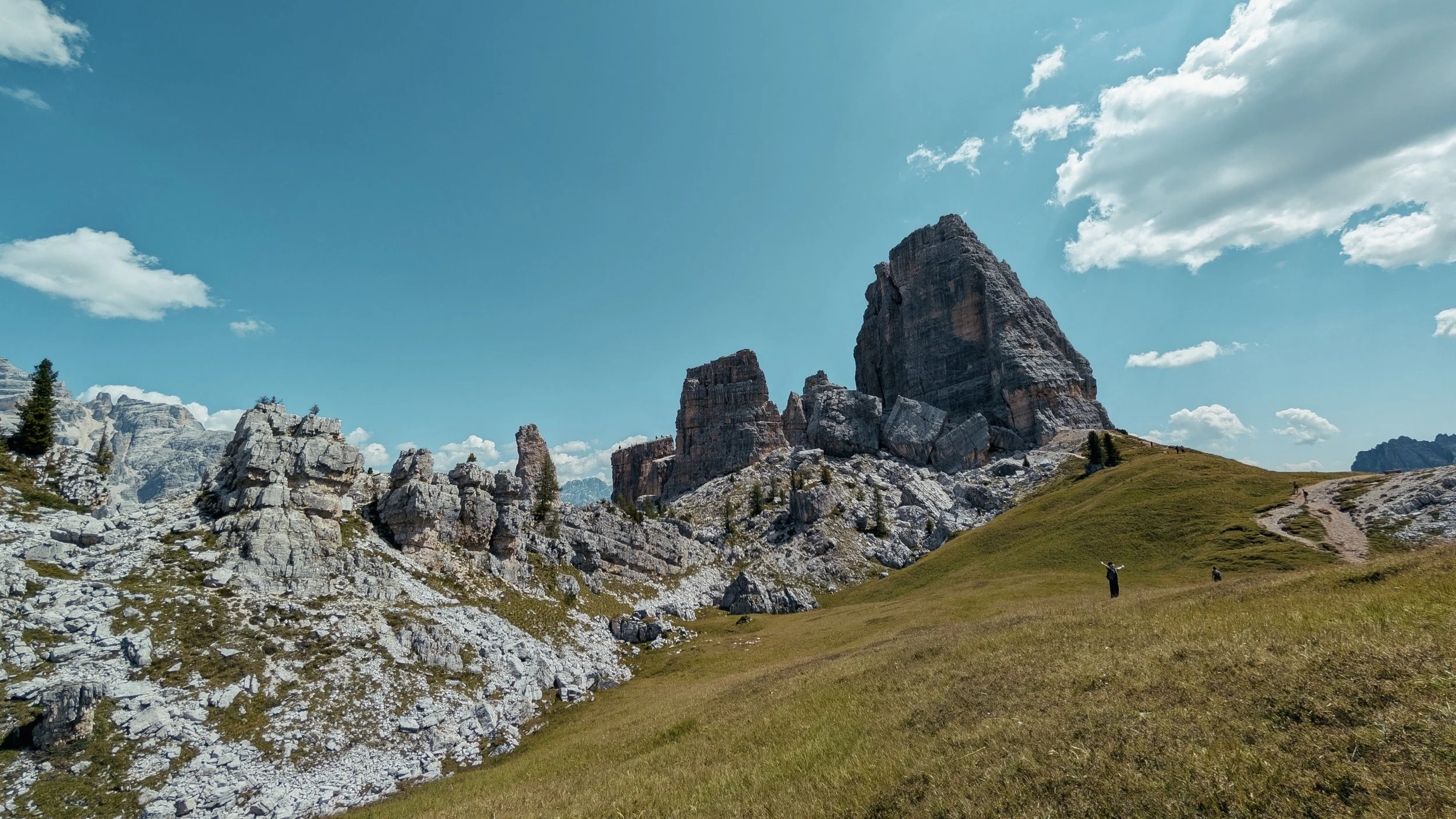
A little late but I want to give a little summary of my trip to the Dolomites back in July. I spent two weeks there doing the Alta Via 1 and various day trips around Cortina and Bolzano. And I have to say, it is definitely one of my favourite places on the planet! Here are a few things I learnt along the way:
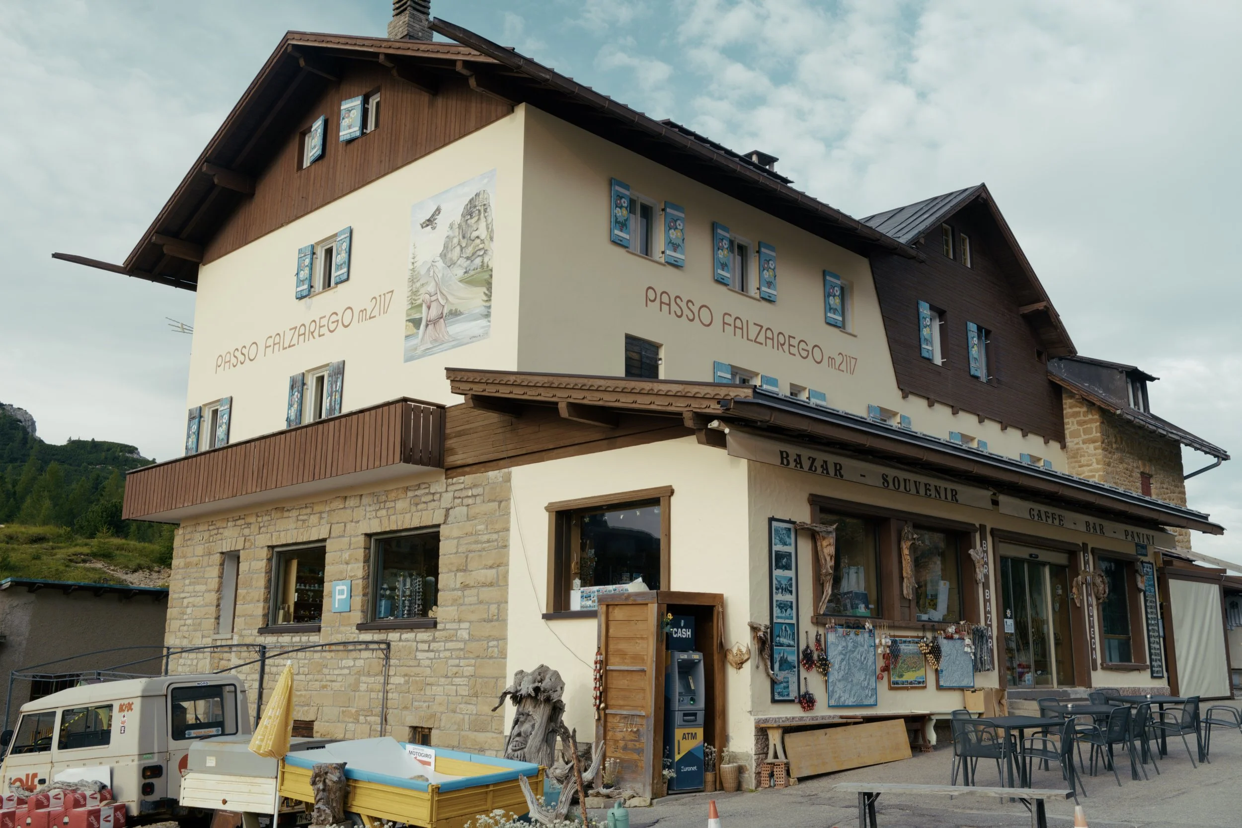
Getting there - I flew into Venice and caught the Cortina Express straight to Cortina D'ampezzo. From here, I caught the local buses to get to the trail head for both the Alta Via 1 and various smaller day trips. I also used a combination of buses and trains to commute from Cortina to Bolzano.
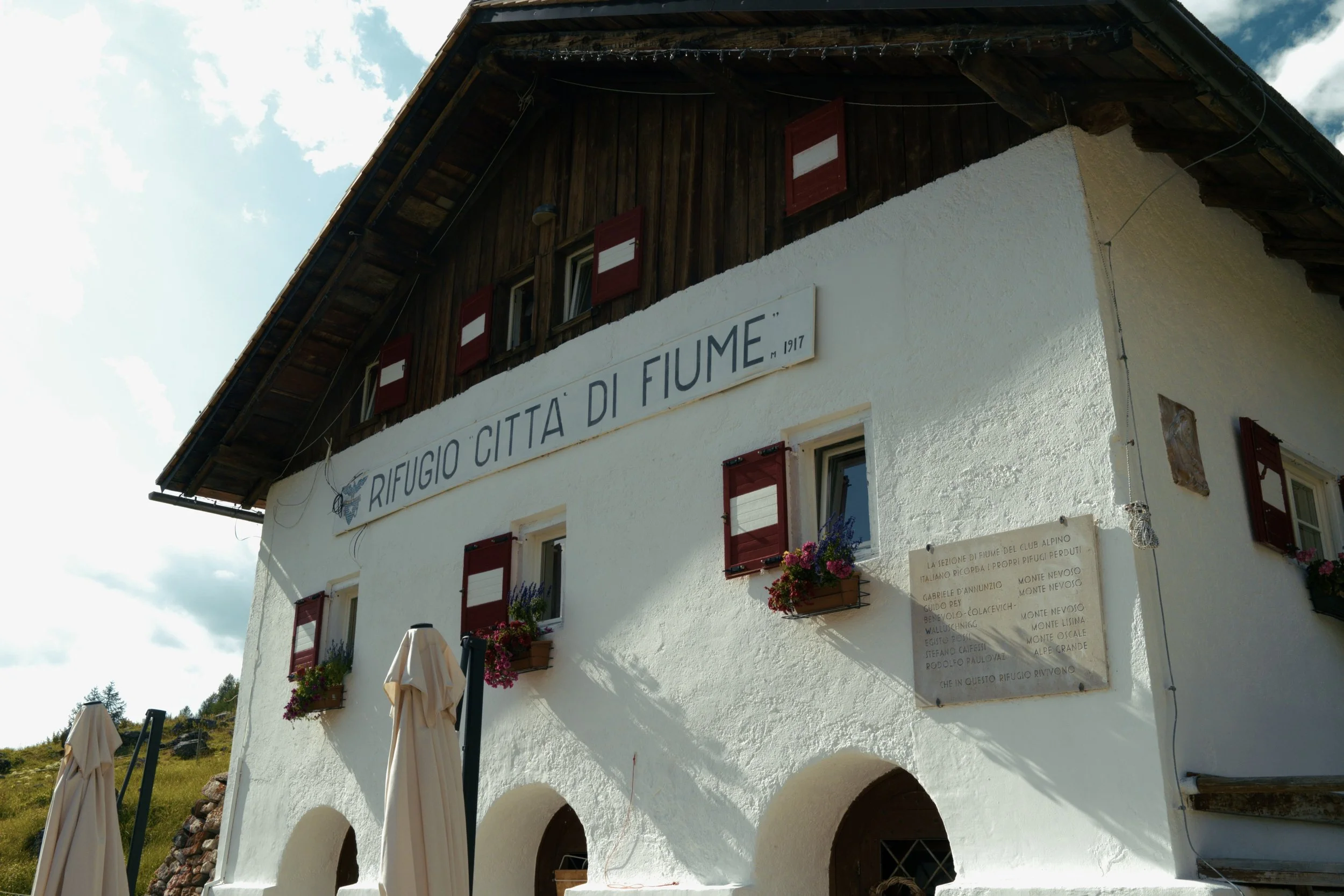
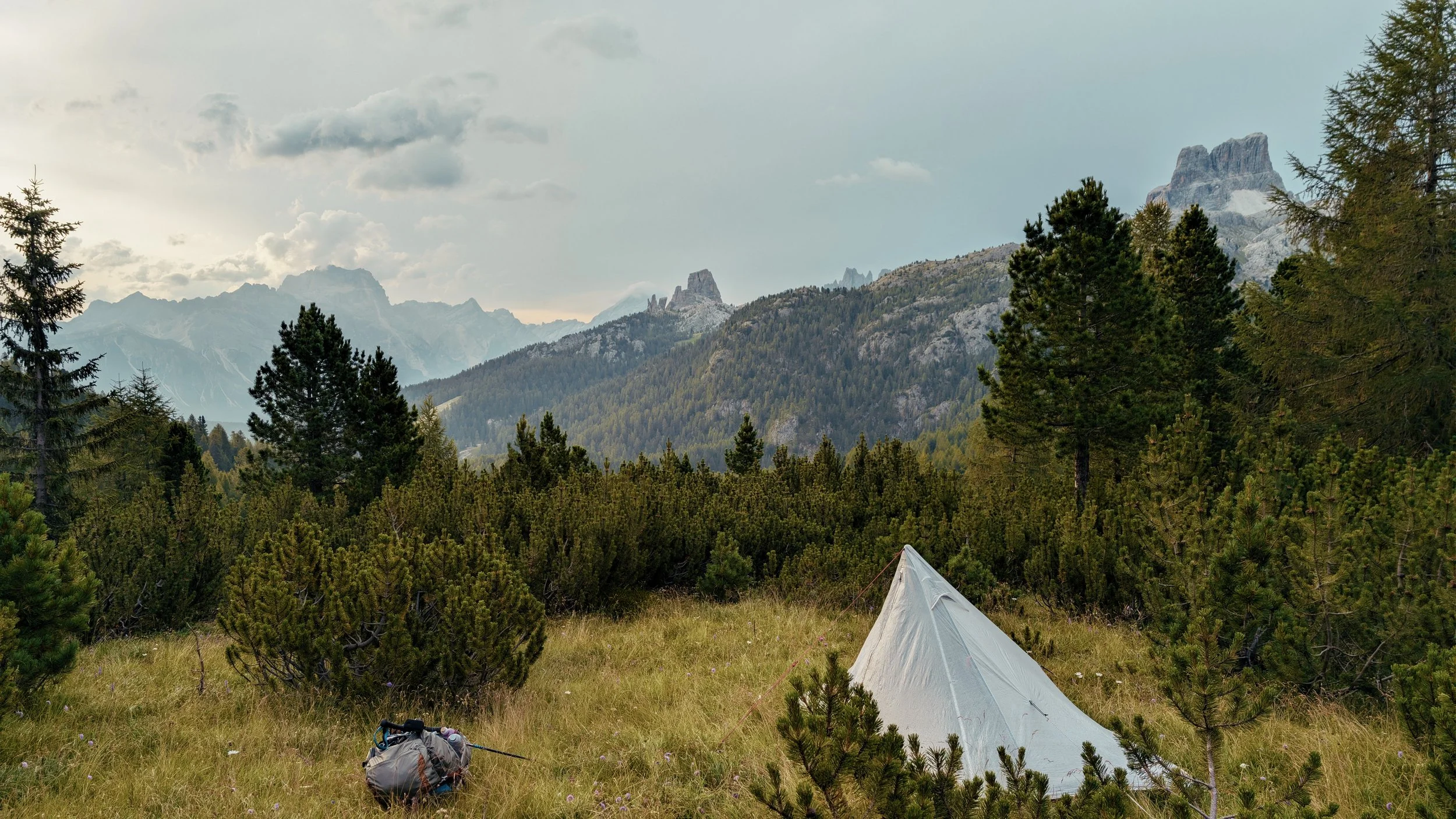
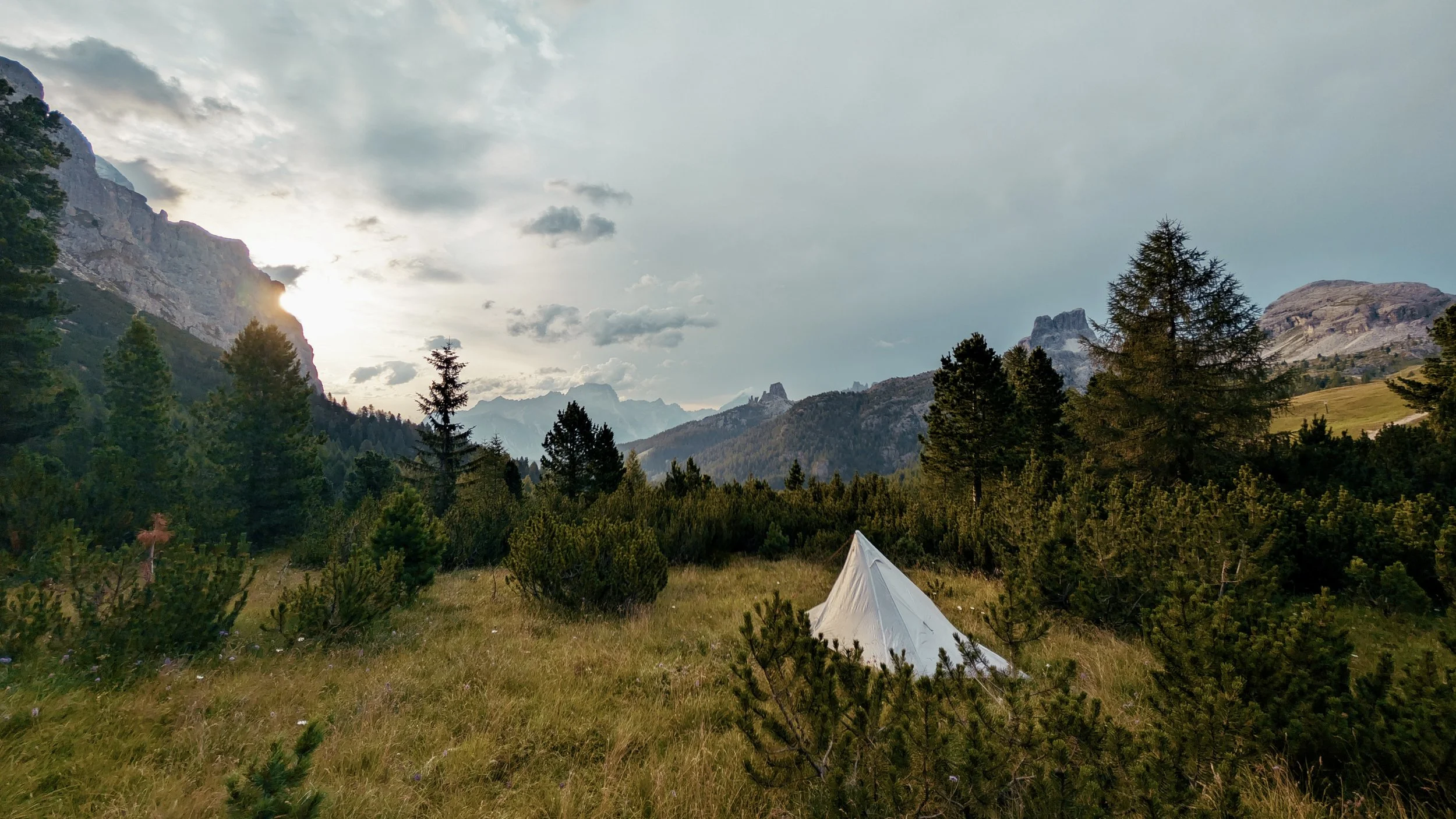
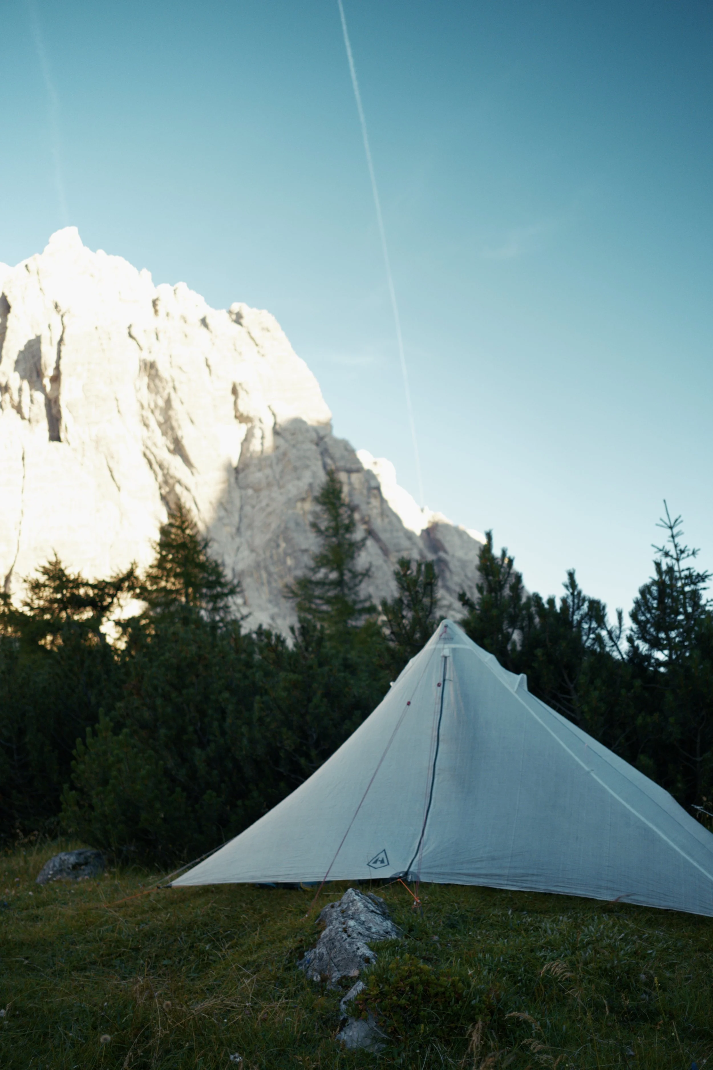
Accomodation - In Cortina, I stayed at both Camping Cortina and Camping Rocchetta when I was close to town and I wildcamped the Alta Via 1. In Bolzano, I stayed at small campsite called Camping Ganthaler. It is a little bit outside of town but with the free transport there for guest, it is more than worth it for the savings.
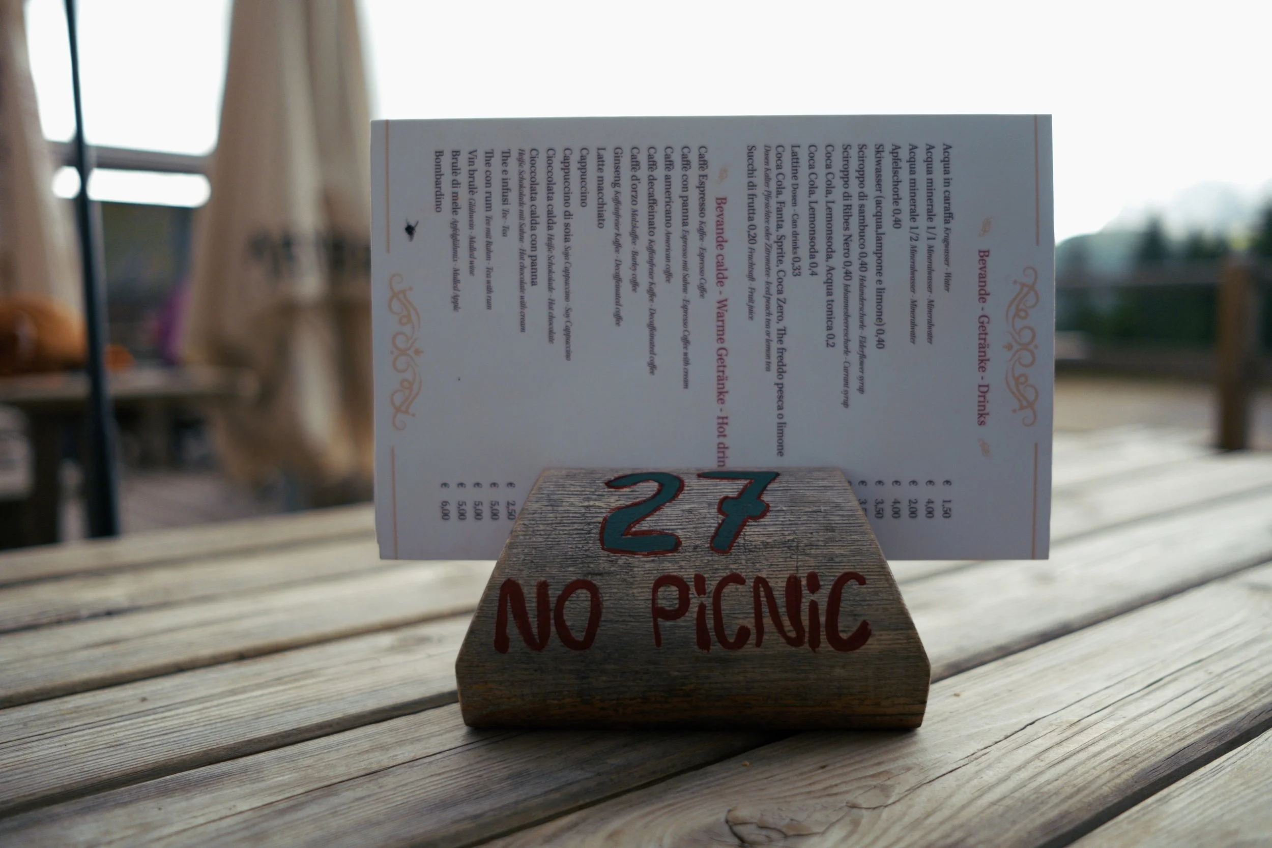
Food - As you pass at least one rifugio every day, food is quite easy to get access too. But do keep in mind that it is not the cheapest. I opted to do self cater for 2 meals and eat out for 1 each day.
Water - You can restock on water at both the riugios and at natural sources like streams, rivers and lakes along the way. Note that not all water at rifugios are potable and it is best to always check with staff.
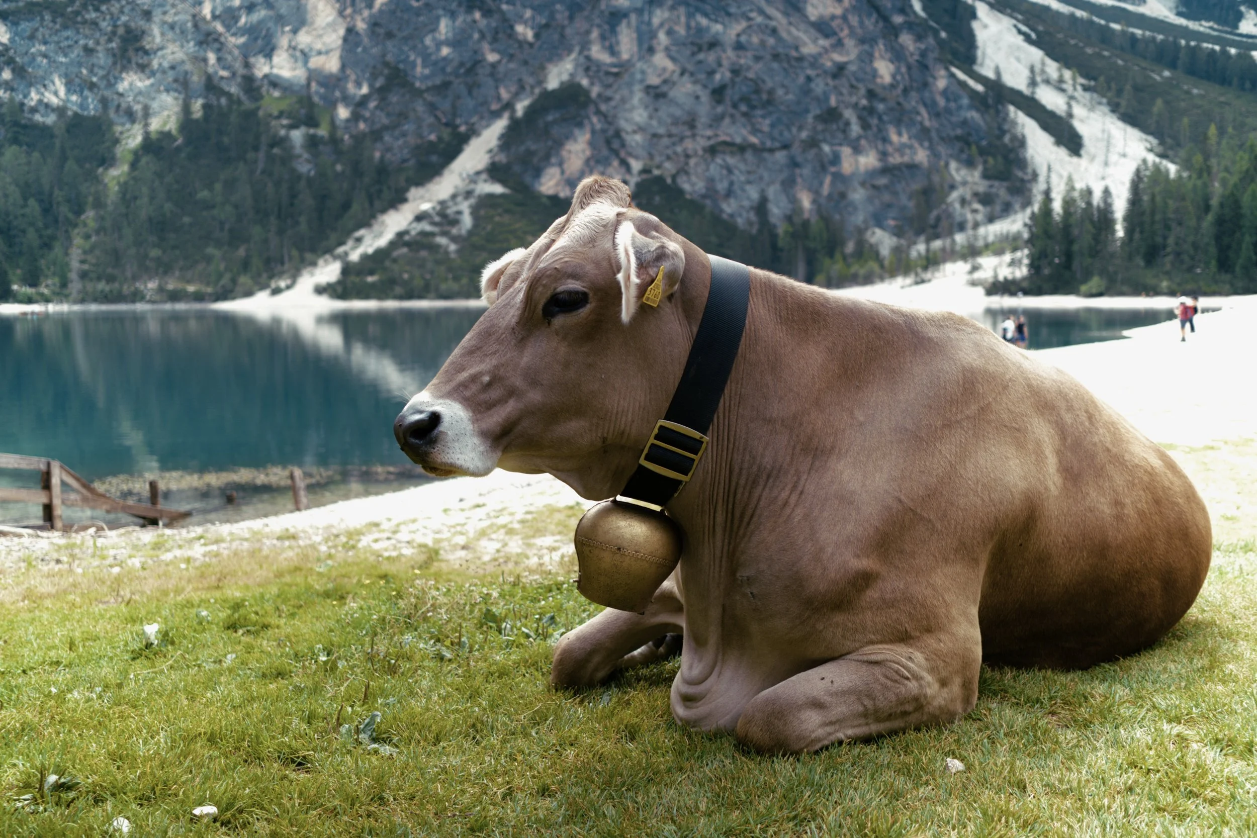
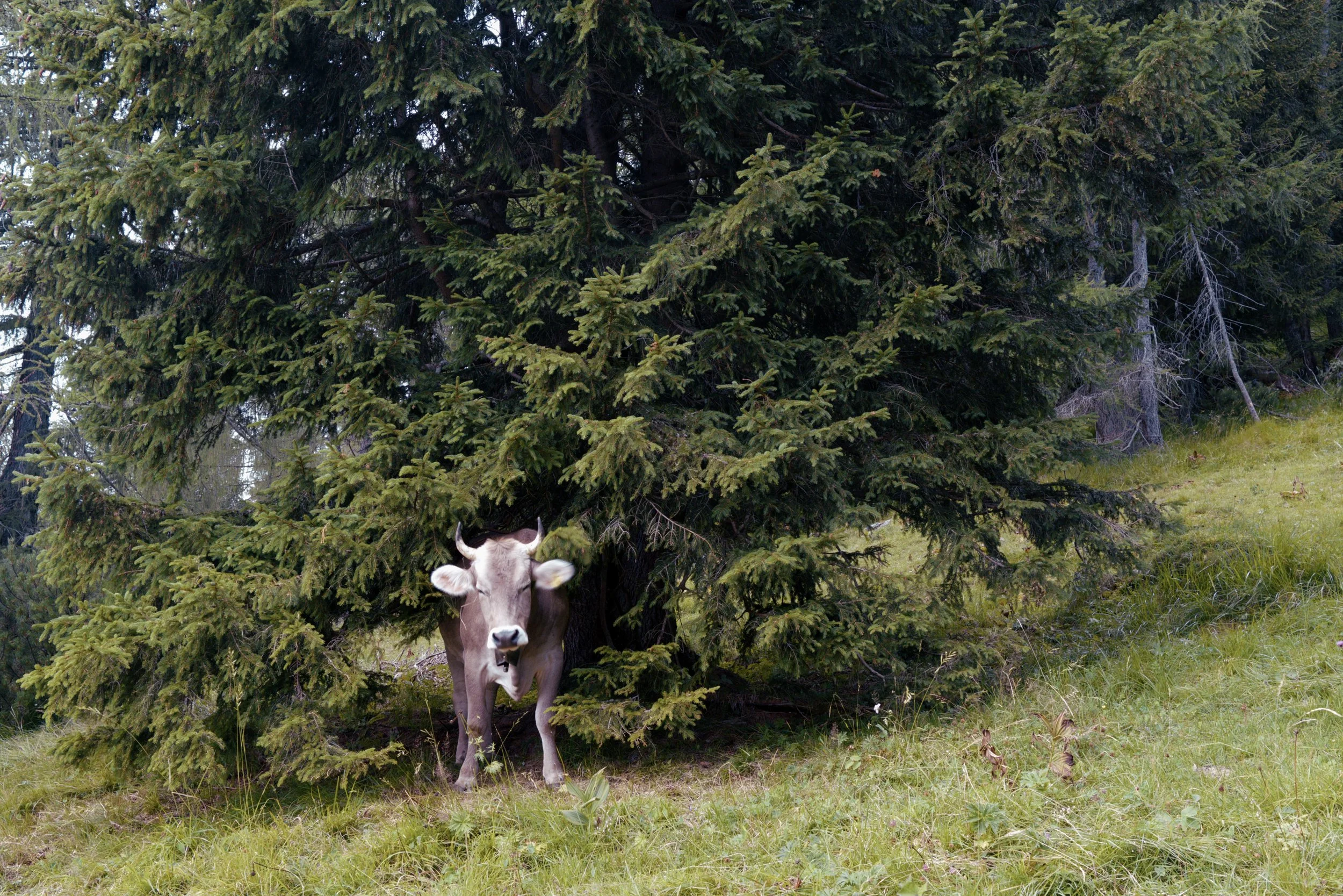
Bugs - It is best to always check for ticks at the end of each day. I found a few in my tent which might be due to camping close by to cattle.
Weather - It really was a hit and miss. You will get stretches of good weather and other times, you will get summer thunderstorms rolling in every afternoon. It is best to hike early and finish early.
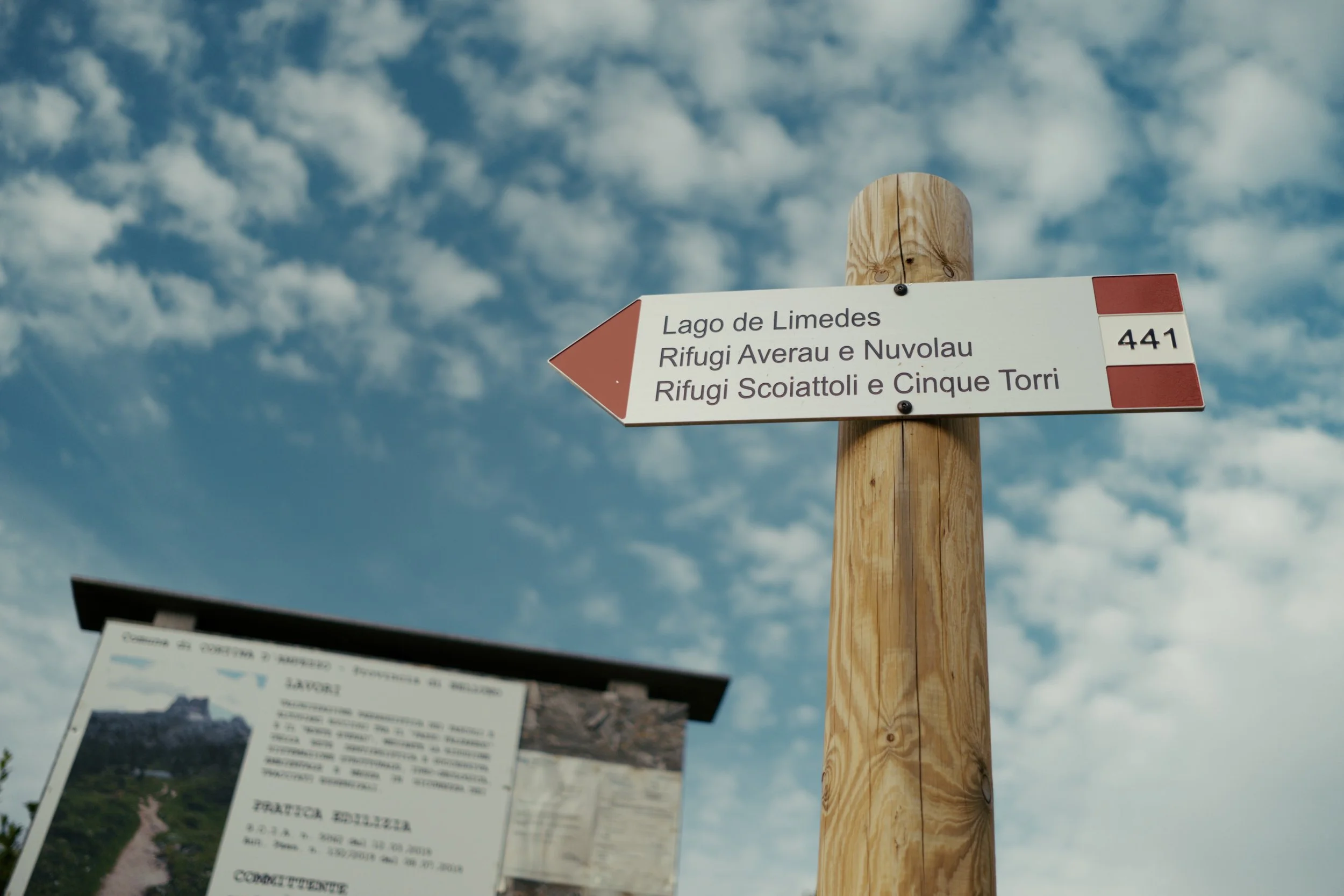
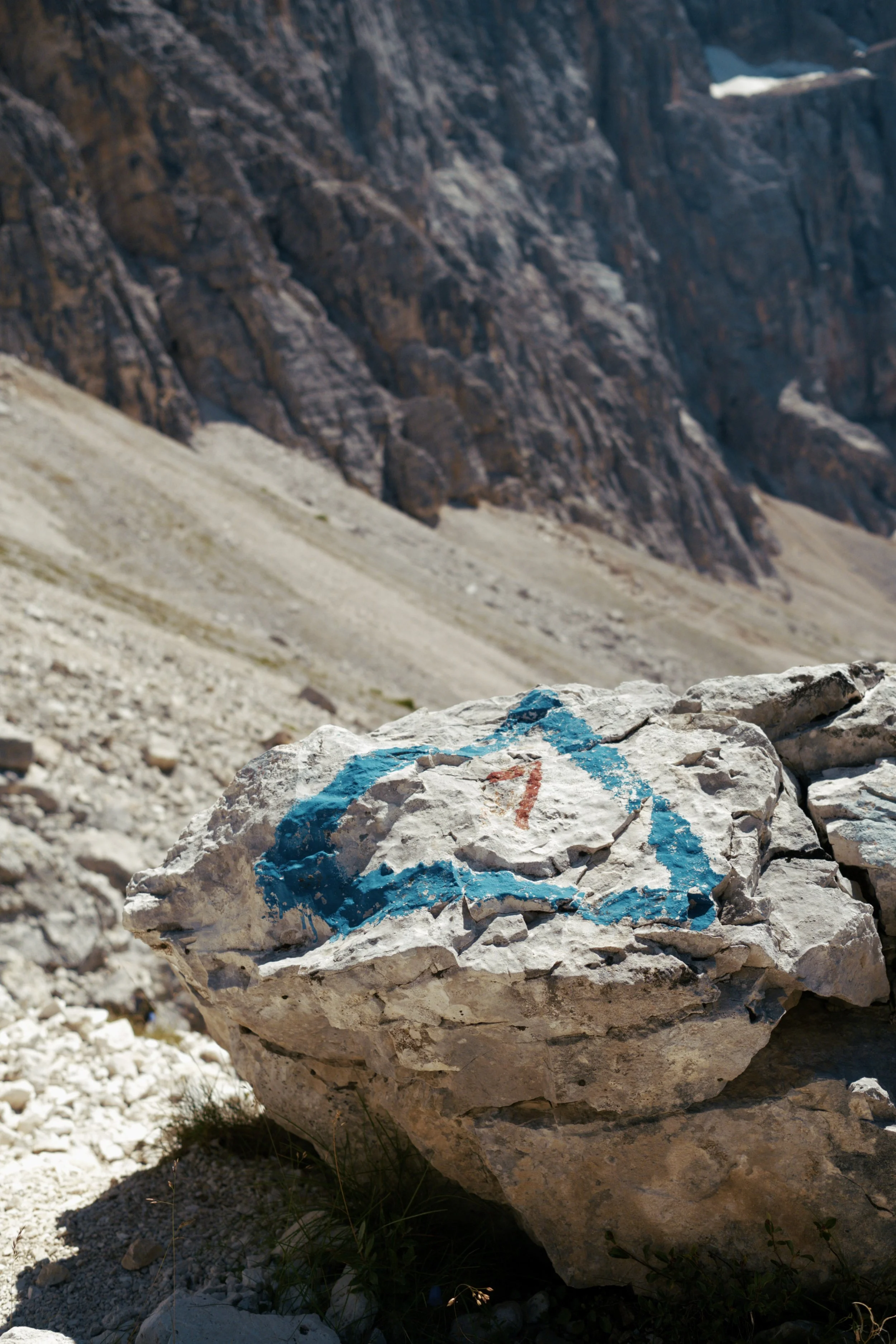
Navigation - I used a combination of komoot, garmin maps and mapy to get around.
If you want more information, I put all my planning notes and lessons learnt on these guides:
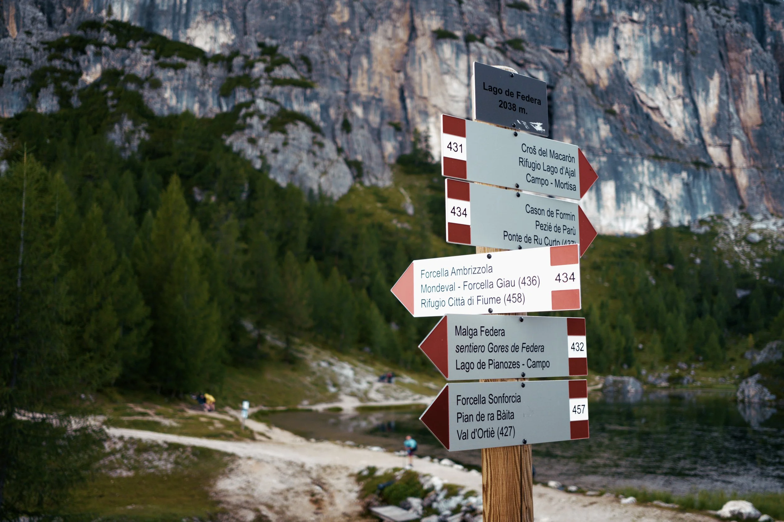
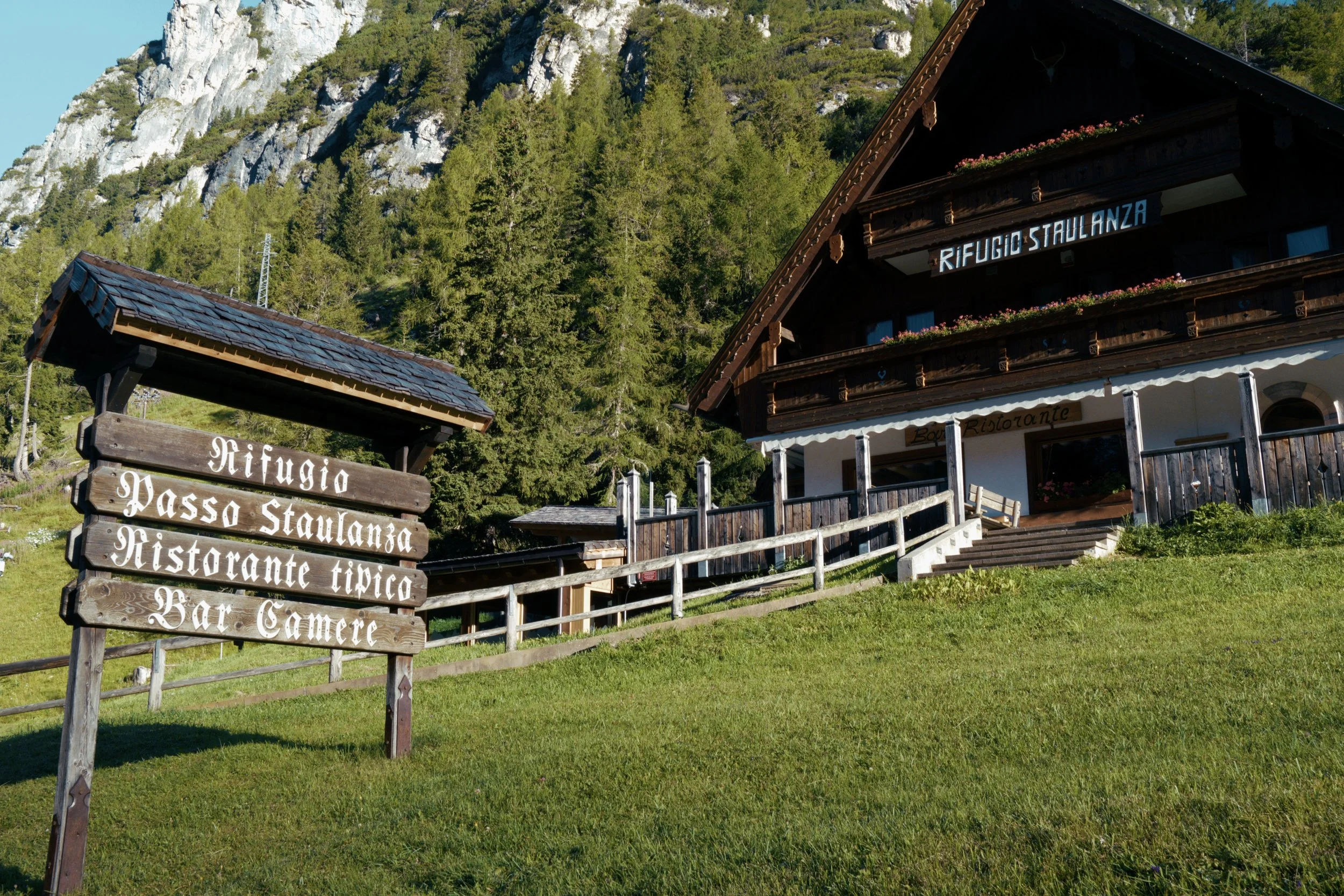
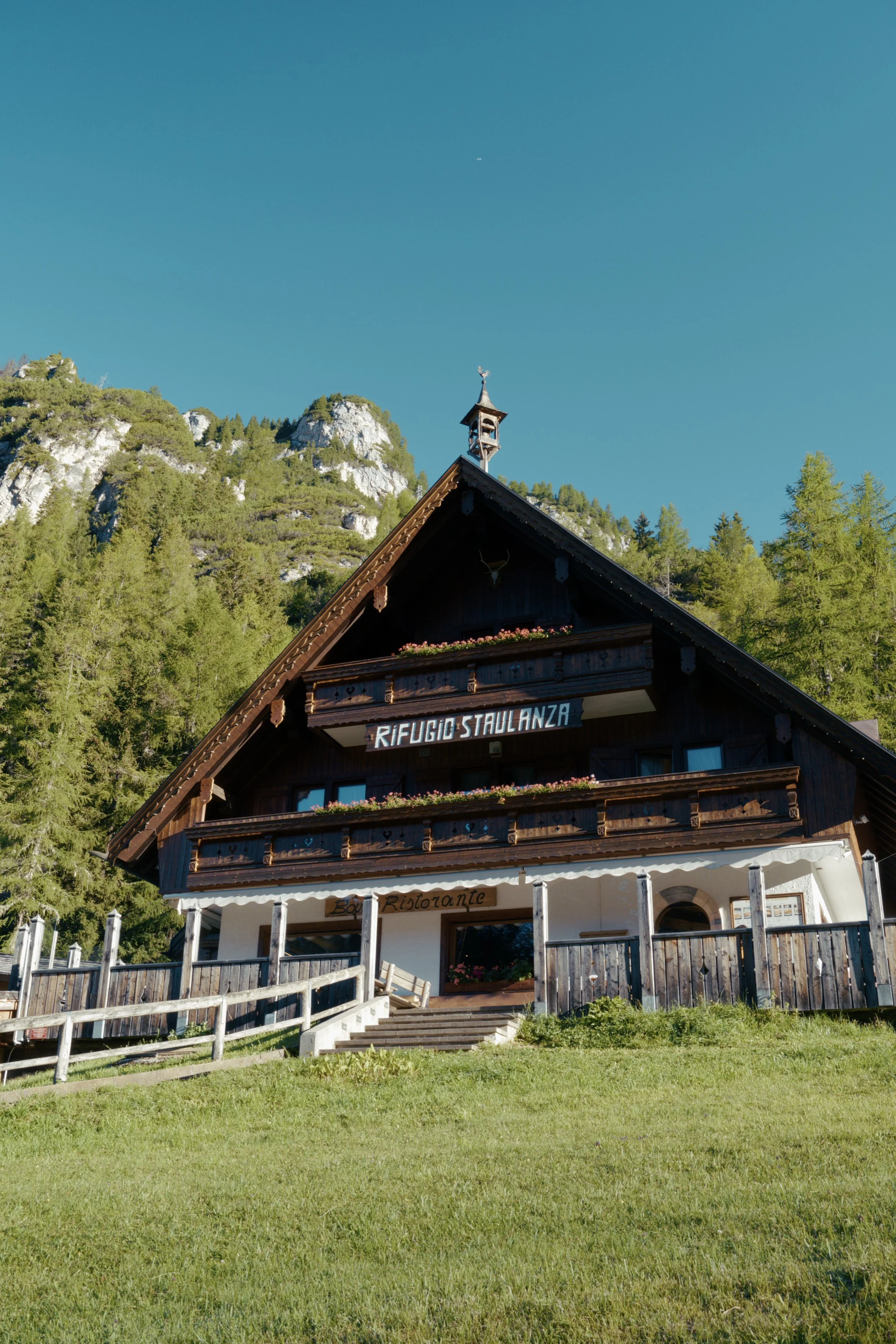
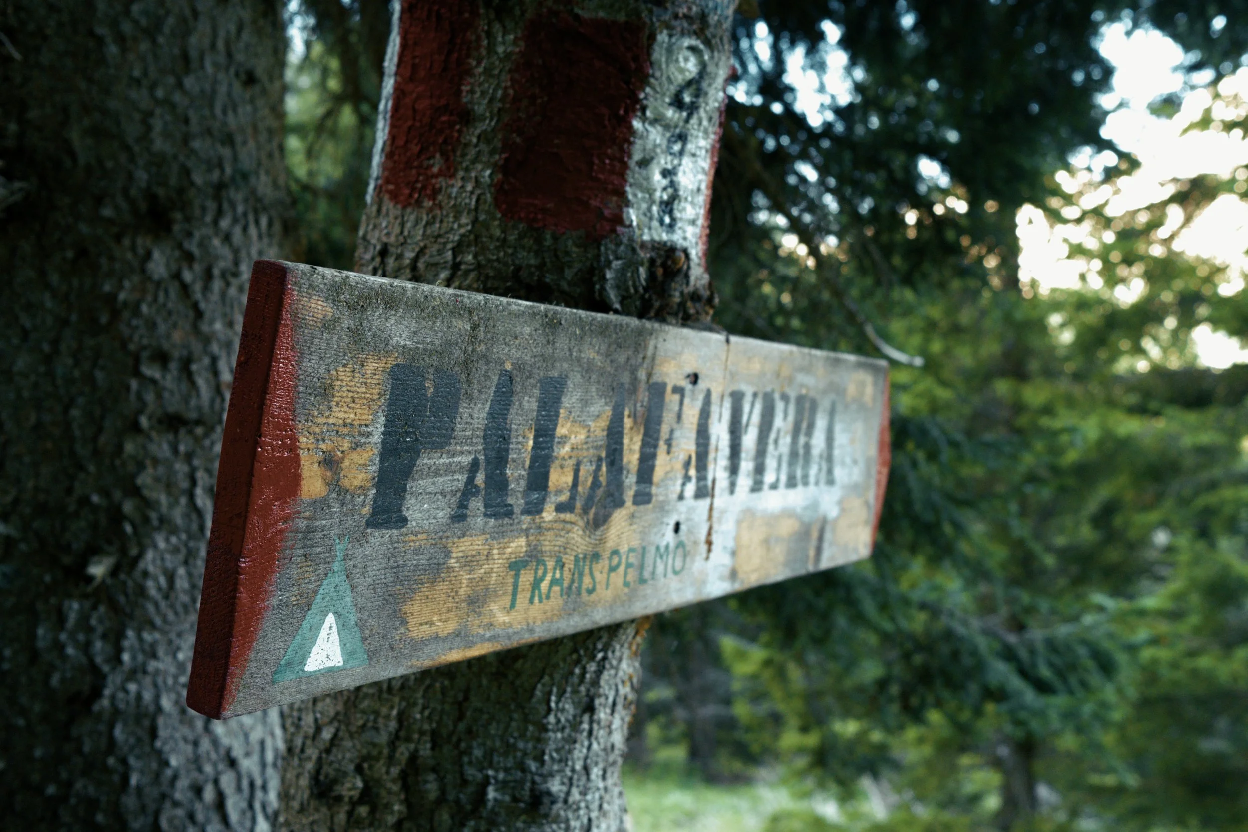
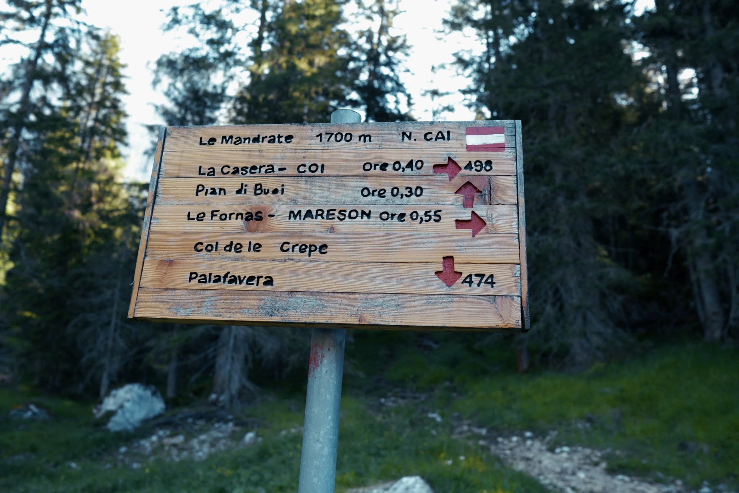
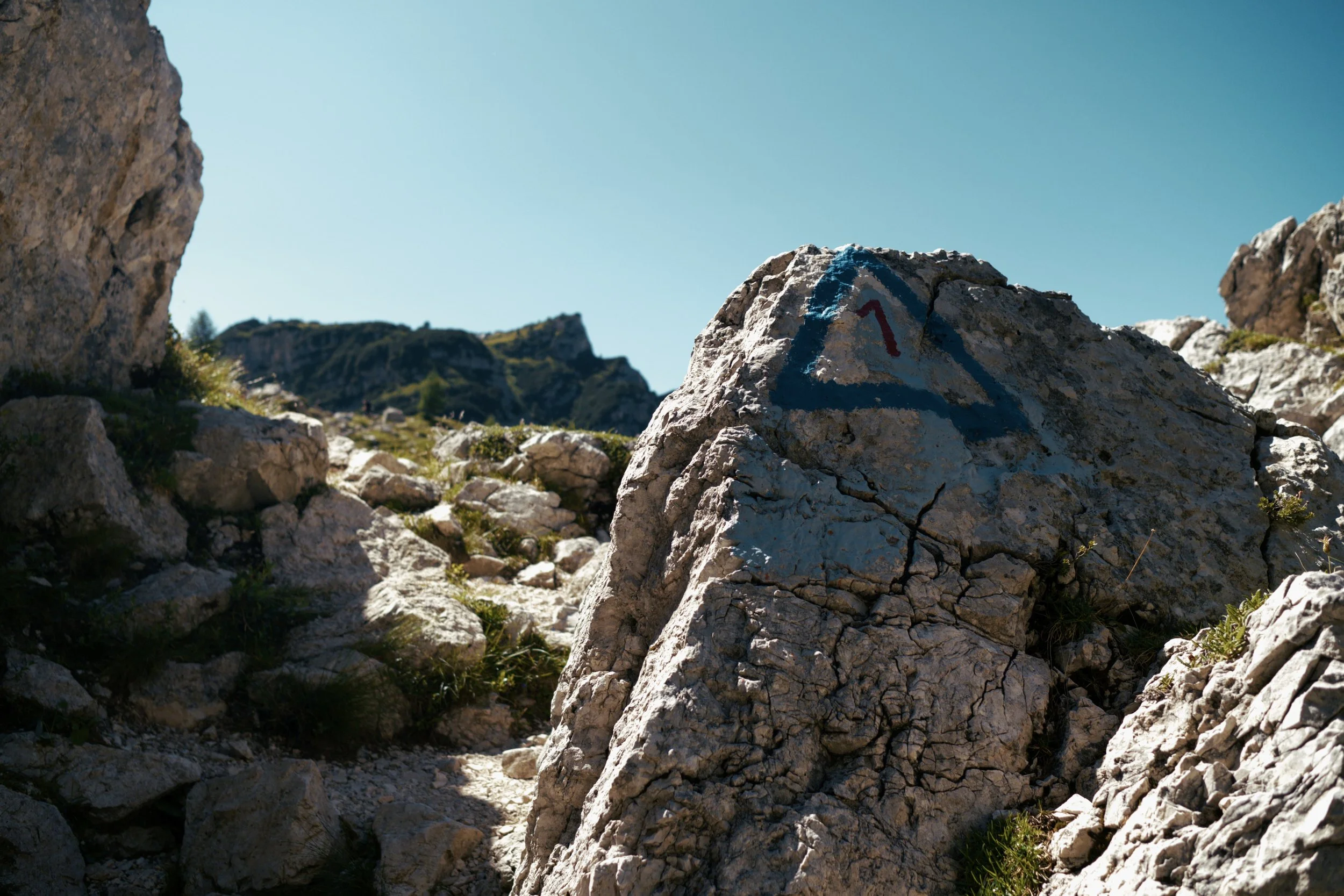
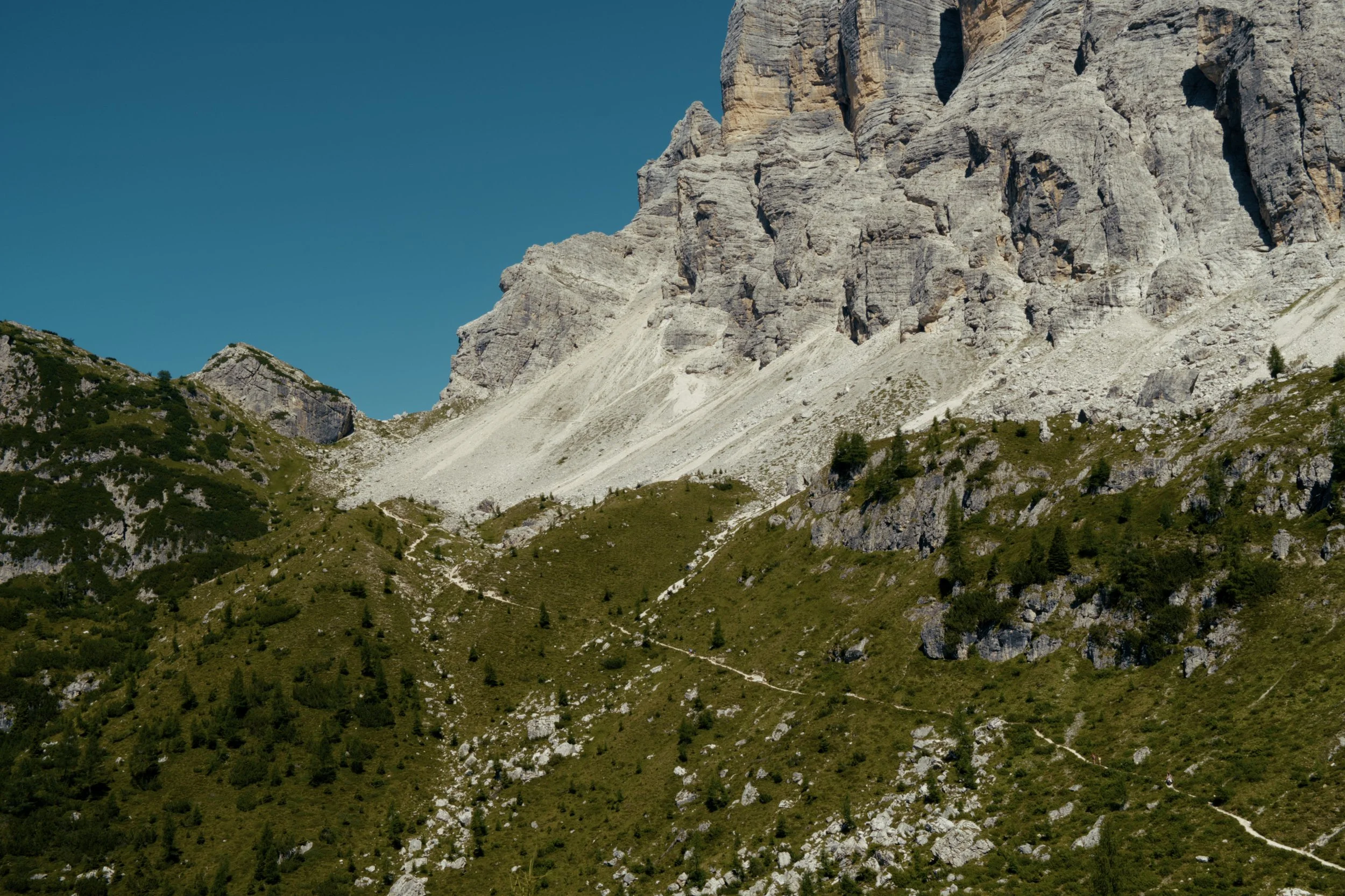
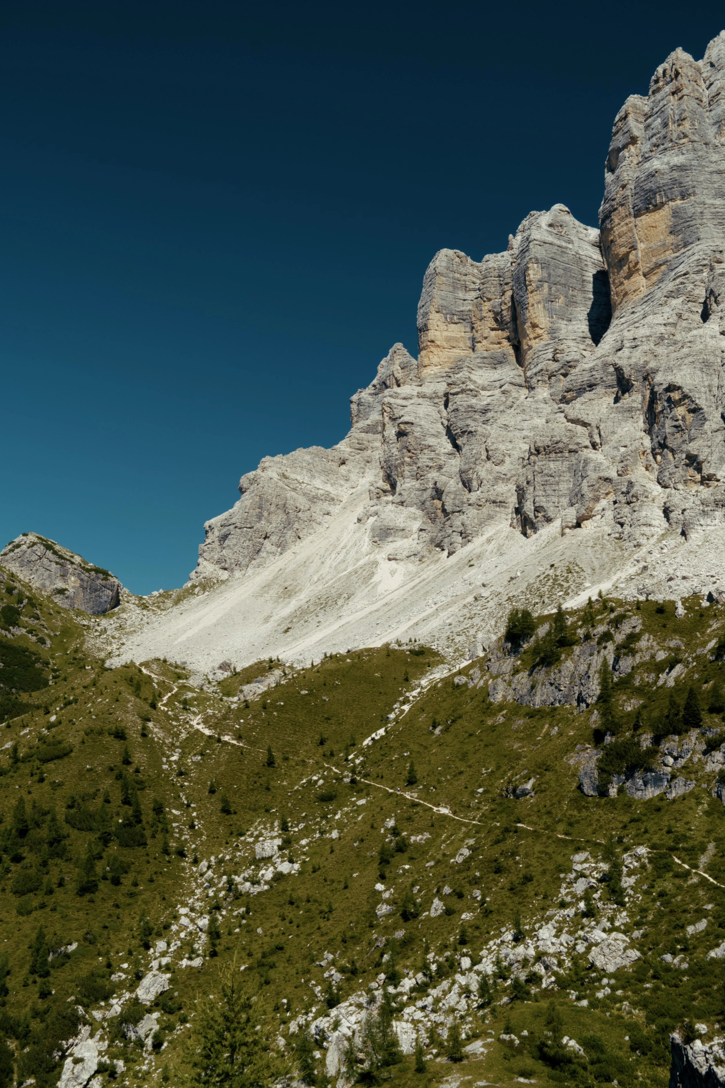
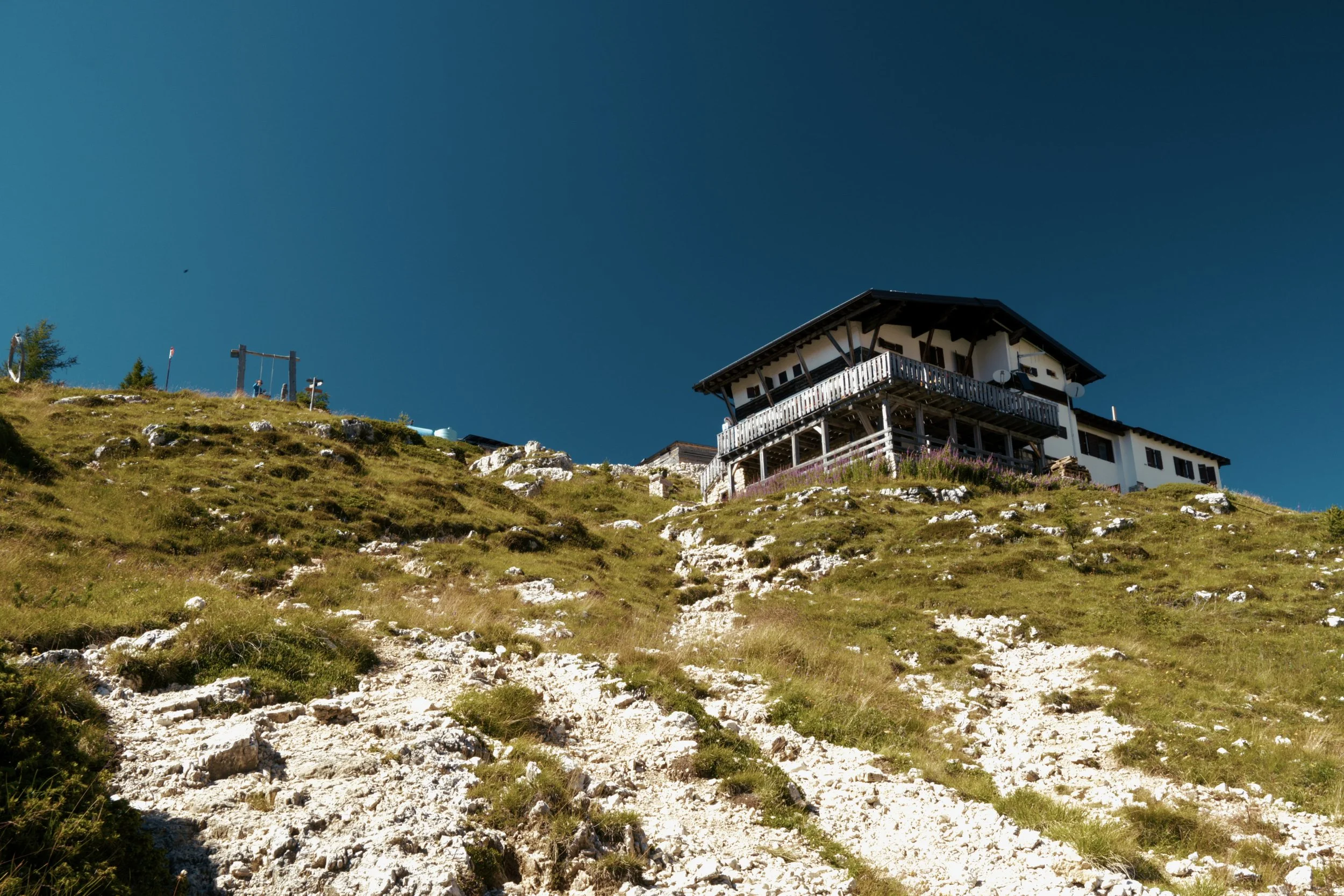
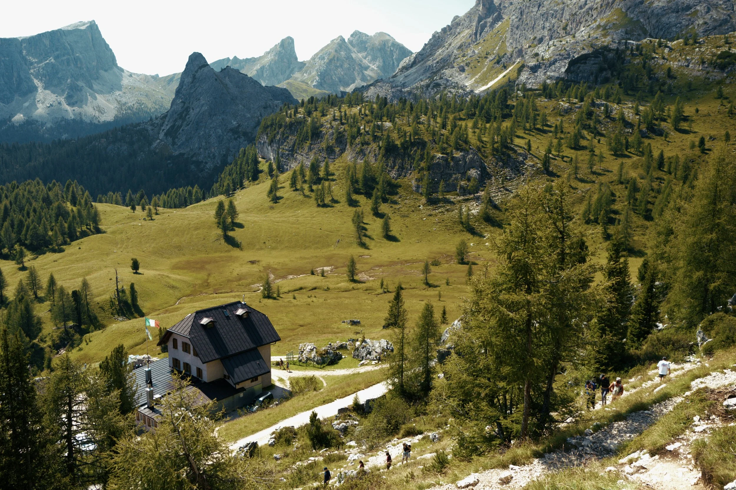
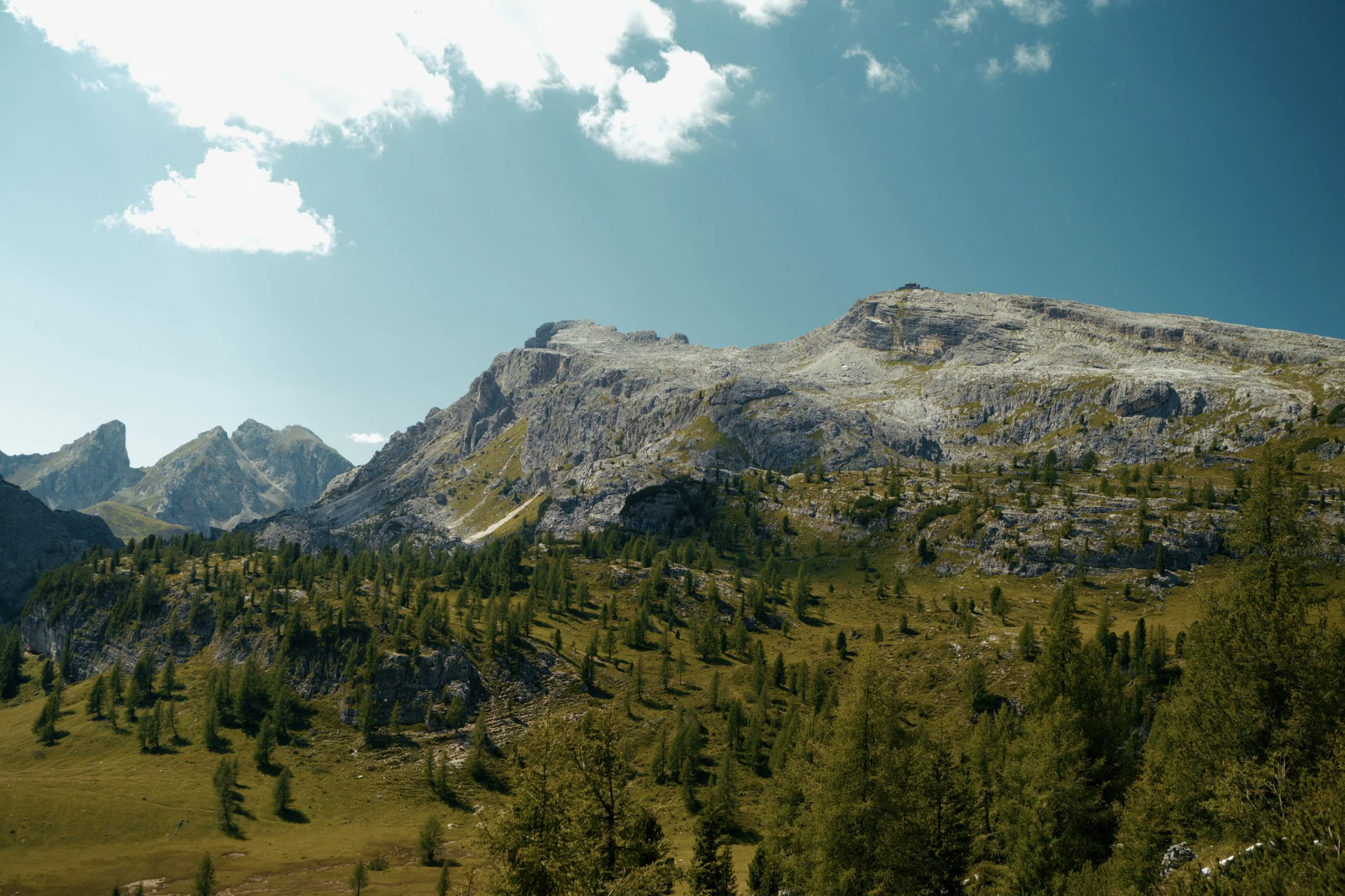
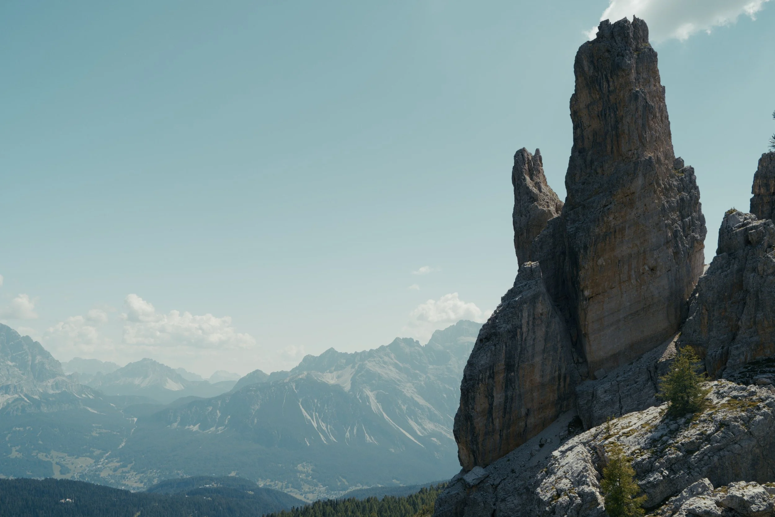
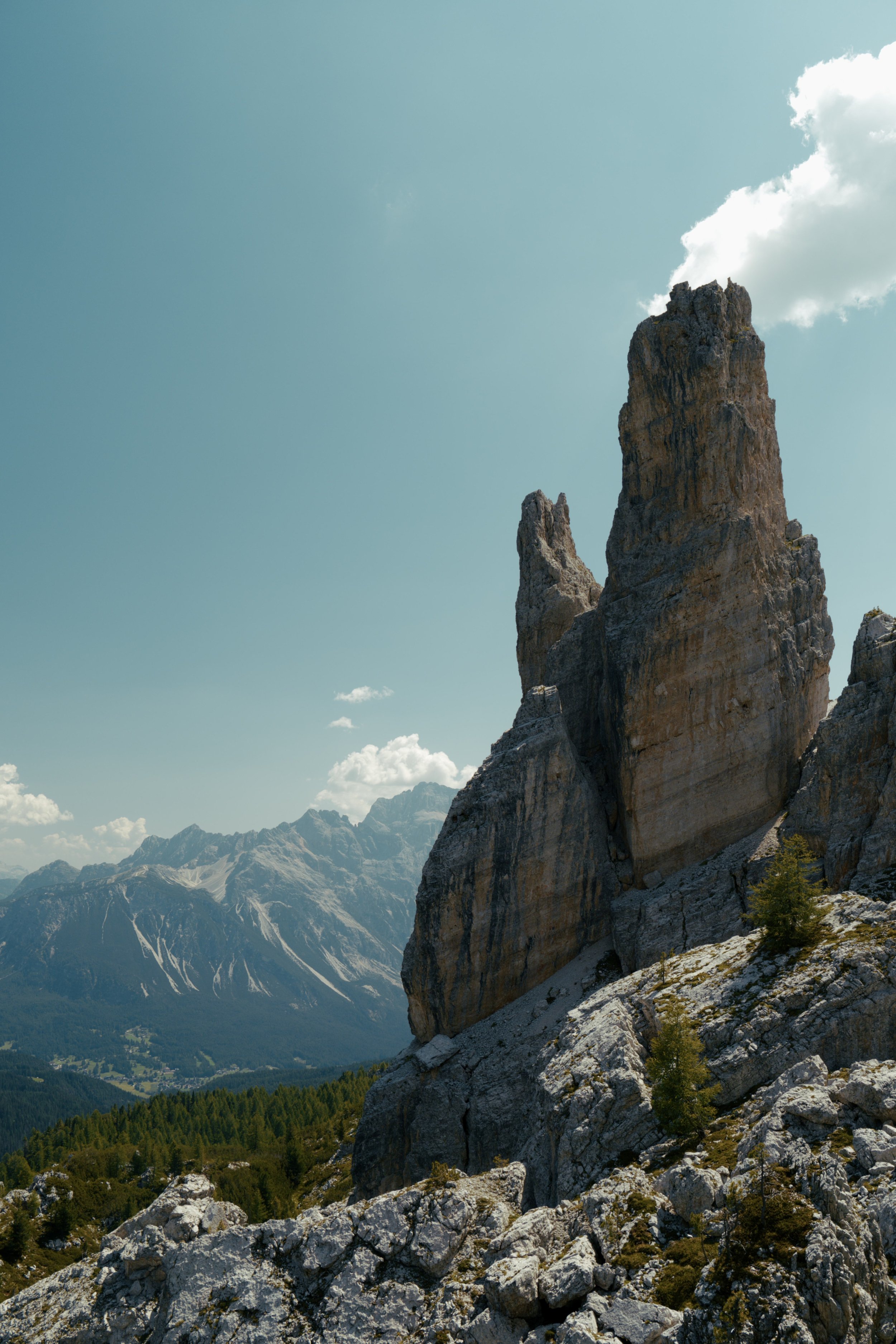
Trip Report - Solo hiking the High Tatra Mountains and Slovak Paradise in Slovakia
Hi All,
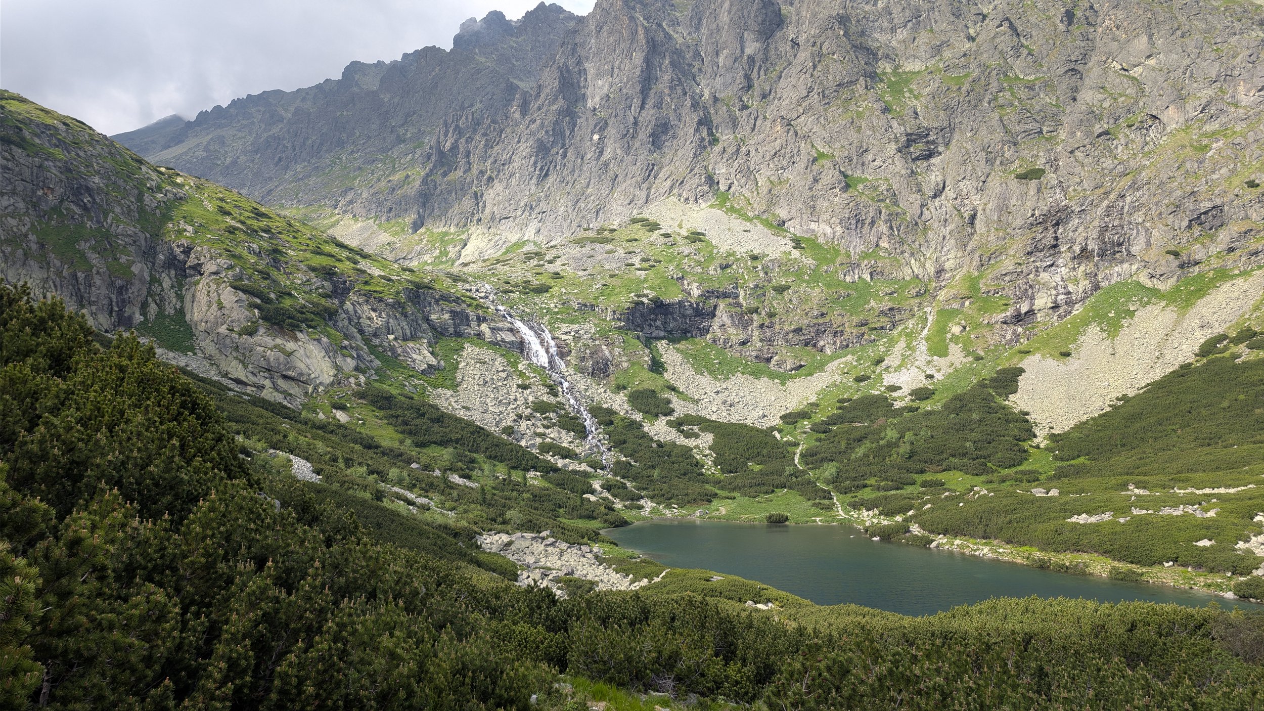
I’ve just got back from an incredible trip to Slovakia in June and thought I’d put together a short trip report. I spent 10 days hiking the High Tatras and Slovak Paradise National Park, and it turned out to be one of my favourite hiking trips. Here are a few things I learnt along the way:
Getting there - I flew from London into a town called Popad which makes a great base to explore both the High Tatras Mountains and the Slovak Paradise. I used a combination of trains and the ride sharing service, bolt, to get around. Although the public transport is quite good (especially the Tatra Electric Rai), services to places like the Slovak Paradise are very infrequent. Also note that there is no public transport between Poprad Airport and the city centre, so you'll need a taxi or Bolt for that short journey.
Accommodation - I stayed at two campsites in a tent: Autocamping Podlesok, located within Slovak Paradise itself, which cost 11 EUR per night (which includes the park entrance fee), and Rijo Camping Stará Lesná, at the foot of the High Tatras, which cost 18 EUR per night. Both campsites were clean, well-equipped, and accepted both cash and card. If you're travelling with a group and can split the cost, I would recommend getting a hotel or guesthouse, as accommodation prices in the area are generally very reasonable and often only slightly more expensive than camping.
Base-camp - For this trip, I used a base camp approach where I pitch up once at a campsite and then explore the various trails as day hikes. No need to carry all your gear each day.
Weather - Keep a close eye on the weather forecast. Afternoon thunderstorms come in fast and can unload a whole lot of rain in a very short time. I used a combination of the general weather report by google, mountain-forecast.com for weather up on the peaks and windy.com hour by hour weather radar.
Navigation - I used a combination of komoot, garmin maps and mapy to get around. MVP has to go to mapy.com as it includes information about the route colour and permitted the direction (gorges can only be hiked uphill).
Here are some notes about each area:
High Tatra Mountains
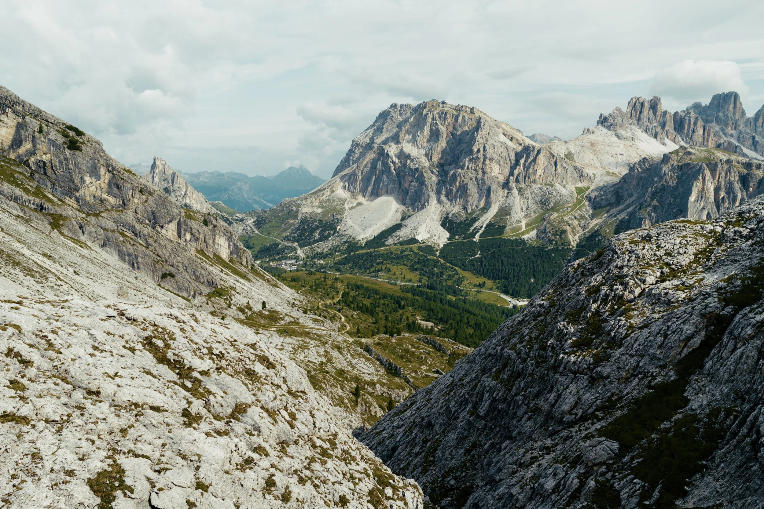
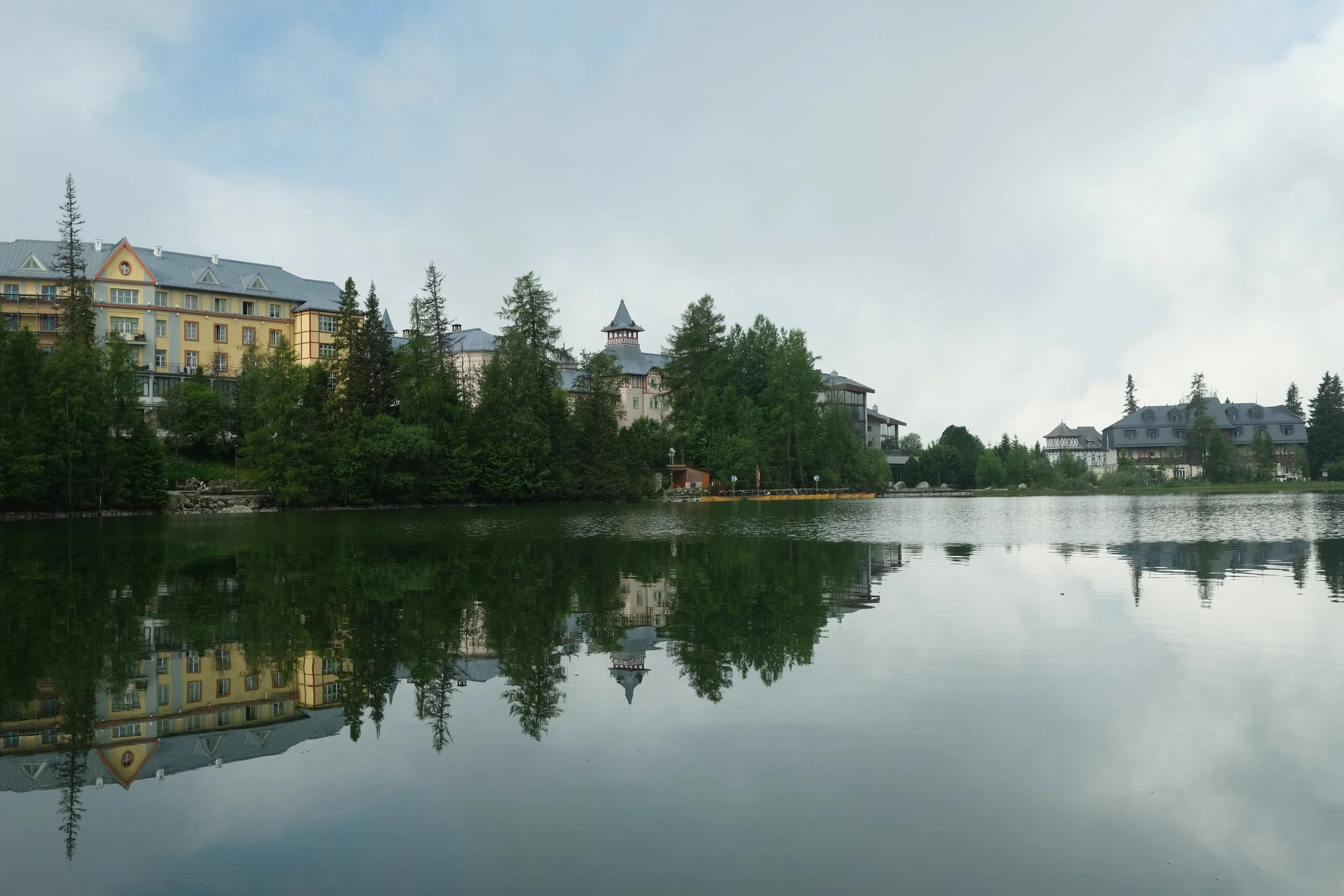
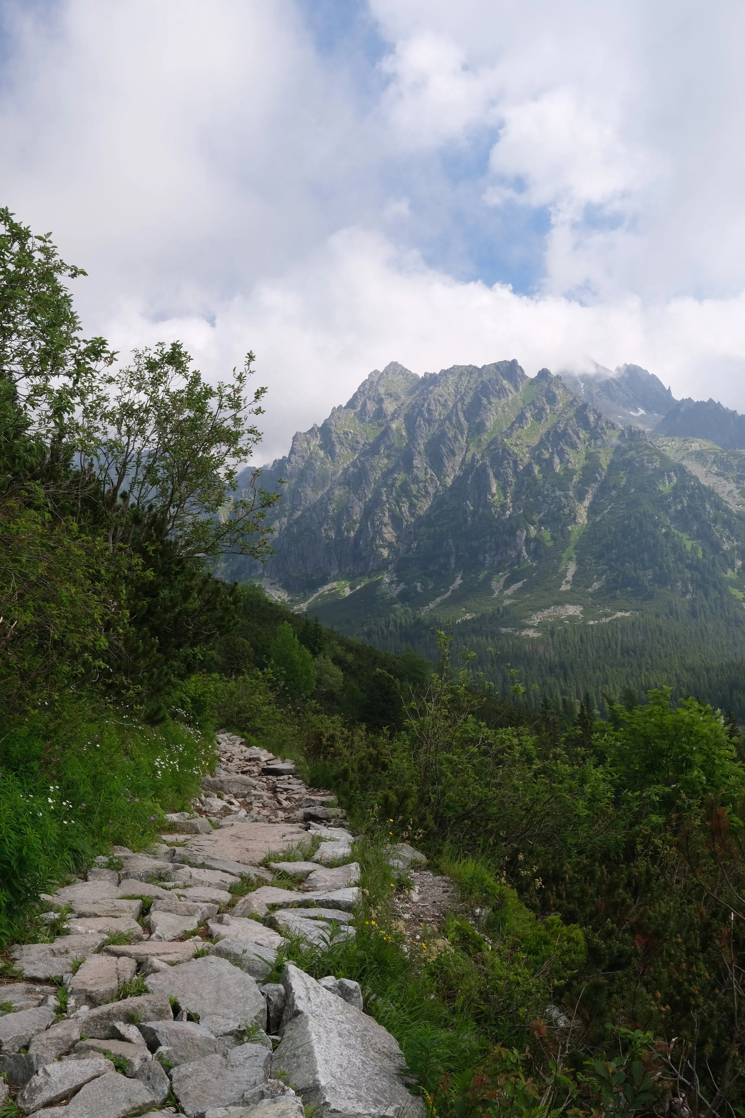
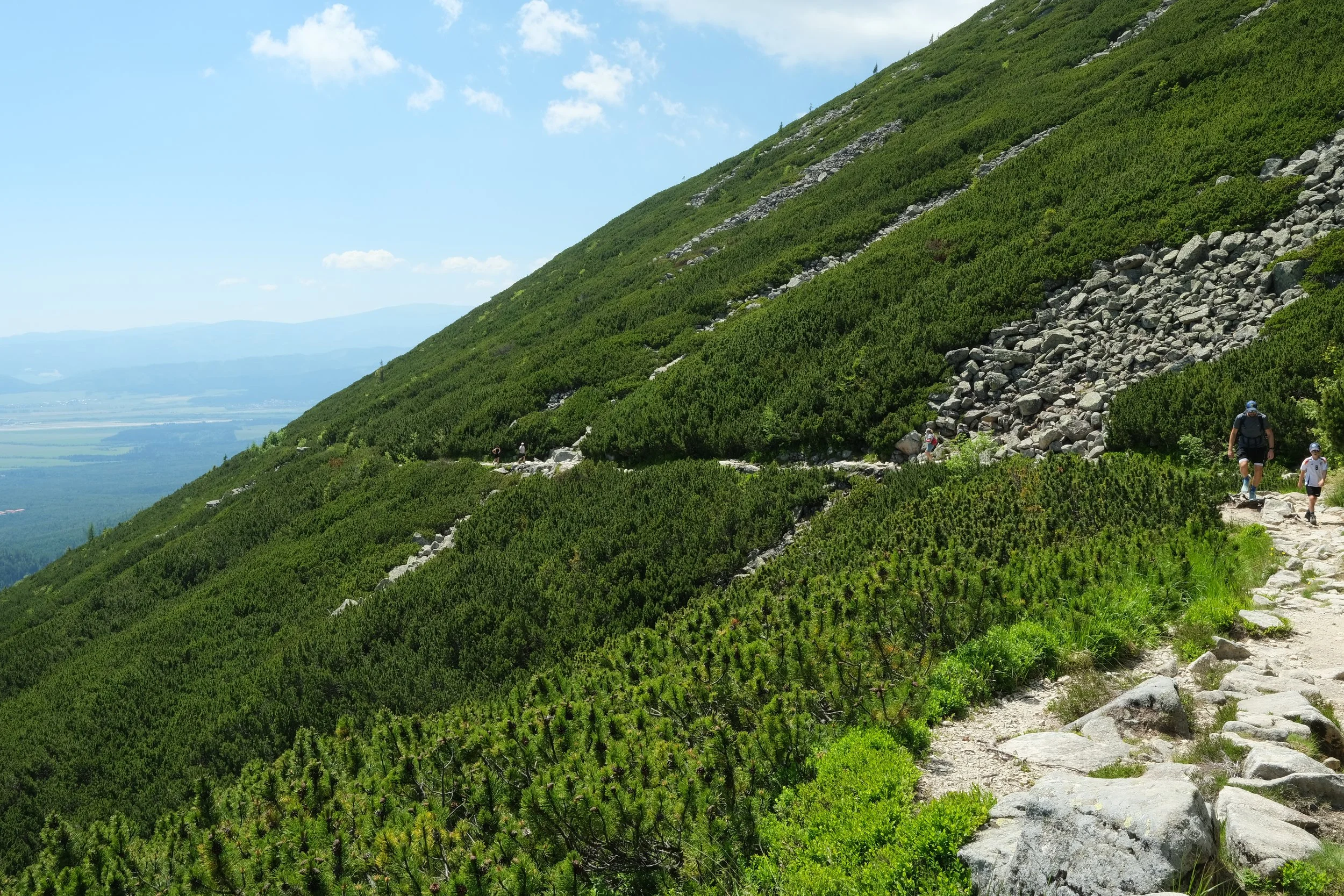
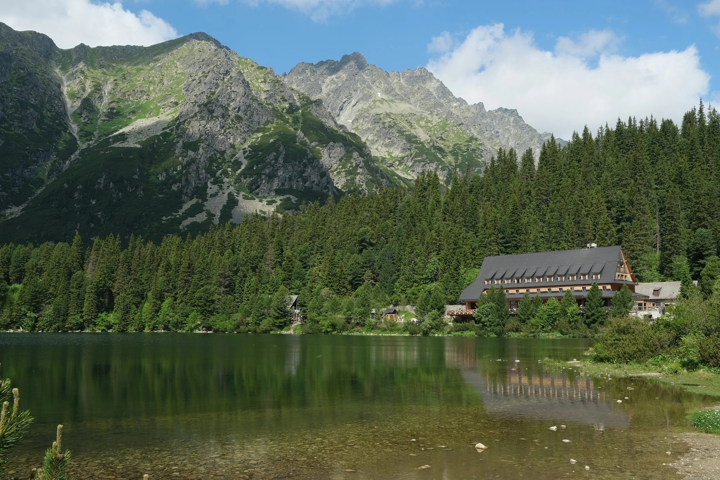
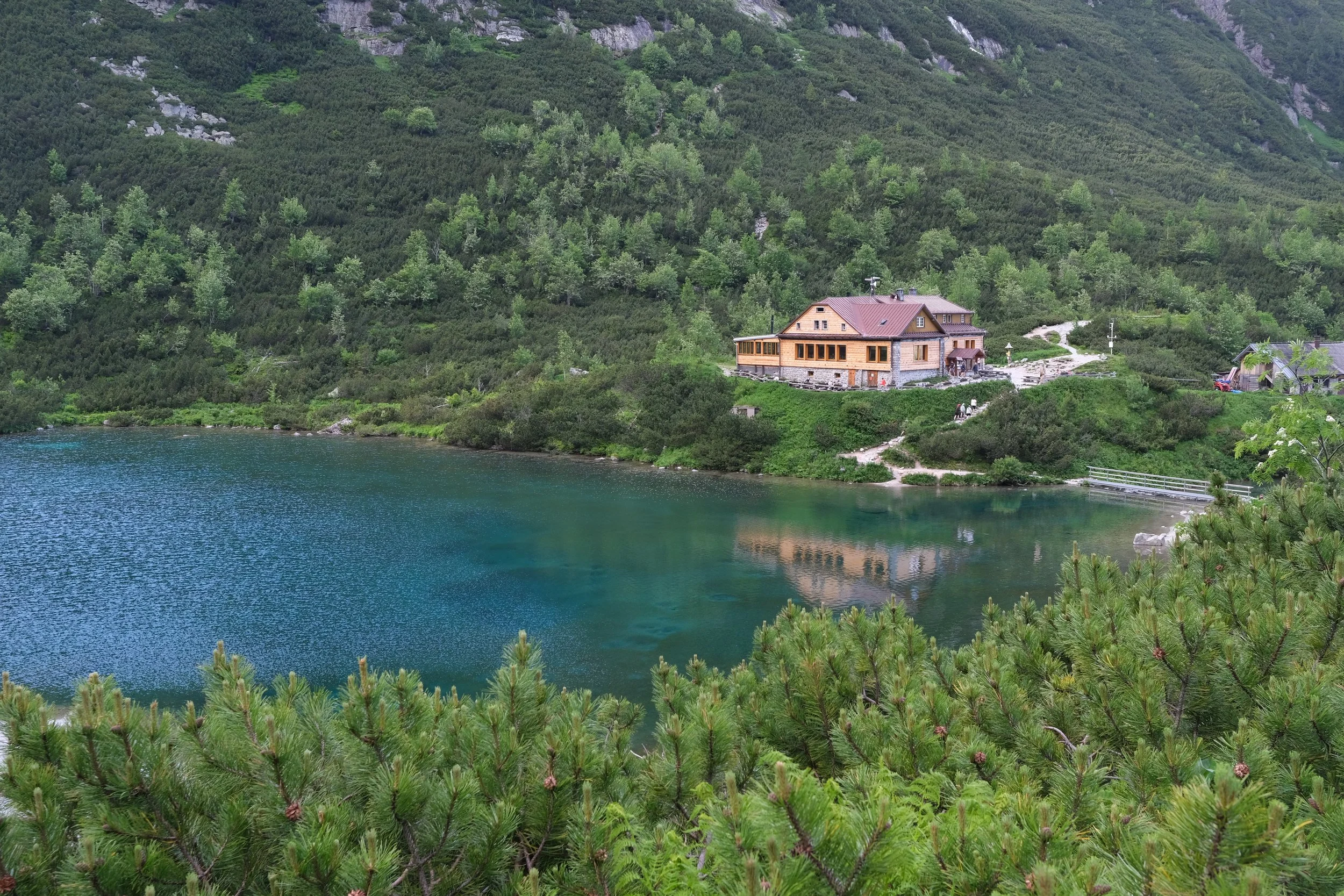
Being here felt like a smaller version of the Alps. The alpine scenery was amazing and there's plenty of small mountain huts (known as chatas) perfectly located at the best locations.
If you're planning several days of hiking, buy the weekly Tatra Electric Railway pass. At around 16 EUR, it's excellent value compared with paying for individual journeys (6 EUR).
Start your hikes early. Most routes are long, afternoon storms are common, and many restaurants in the resort towns close around 7pm. I found myself limping back a bit too late and completely missing out on a hot meal.
Don't be afraid to use the cable cars to give yourself a head start. It means you can spend more time at the crystal clear lakes, gorgeous waterfalls and friendly mountain huts.
If you're the more adventurous type, there are few technical hikes where you hike from one valley (locally known as dolina) to another via a mountain pass. These crossings are steep, exposed and require extensive use of chains. Personally, I didn't find them too difficult if you take it slow and steady. The biggest challenge was actually other hikers as it can become very crowded and not everyone respects your personal space.
Slovak Paradise
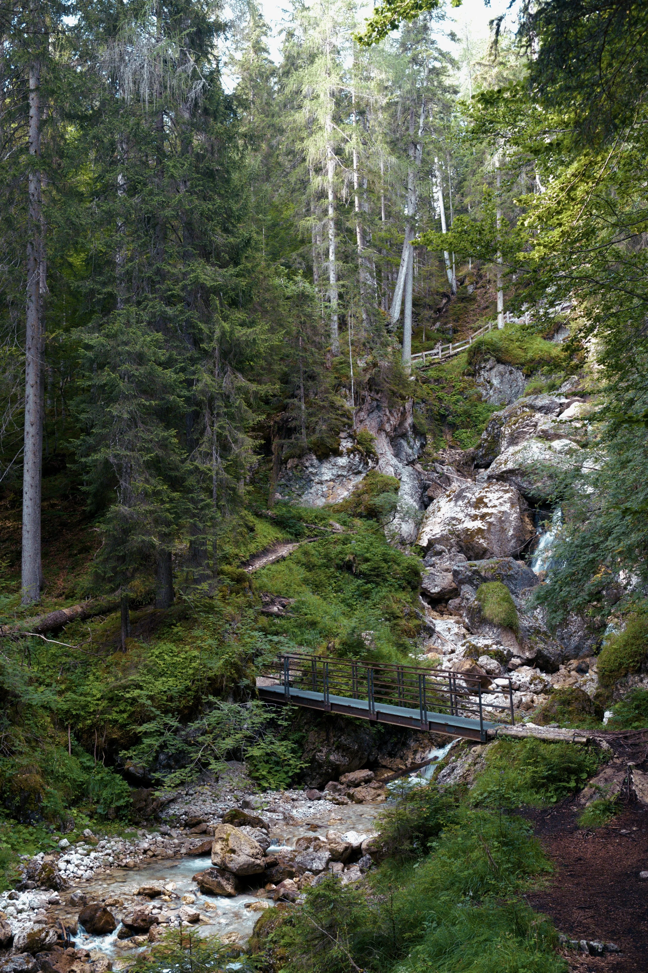
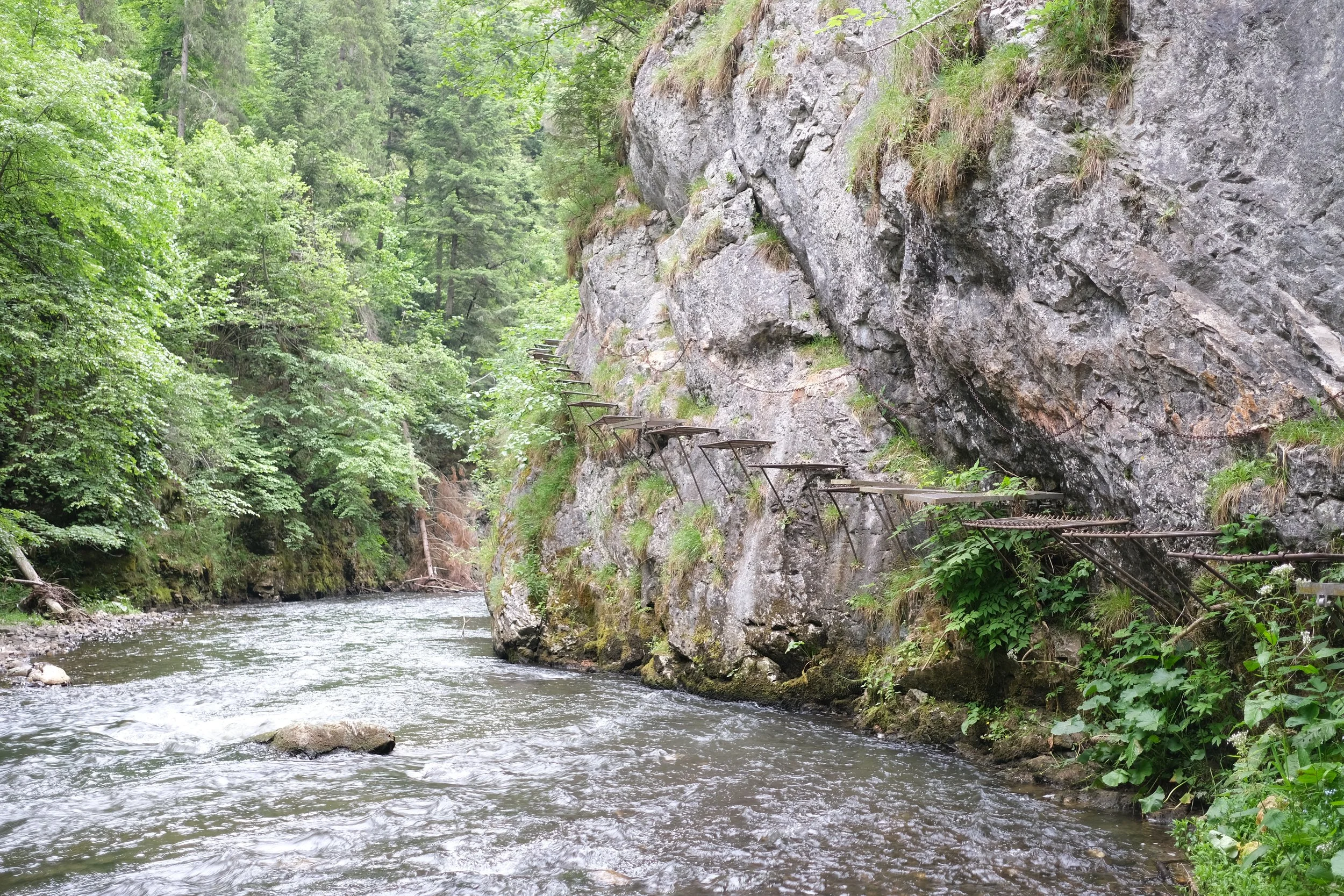
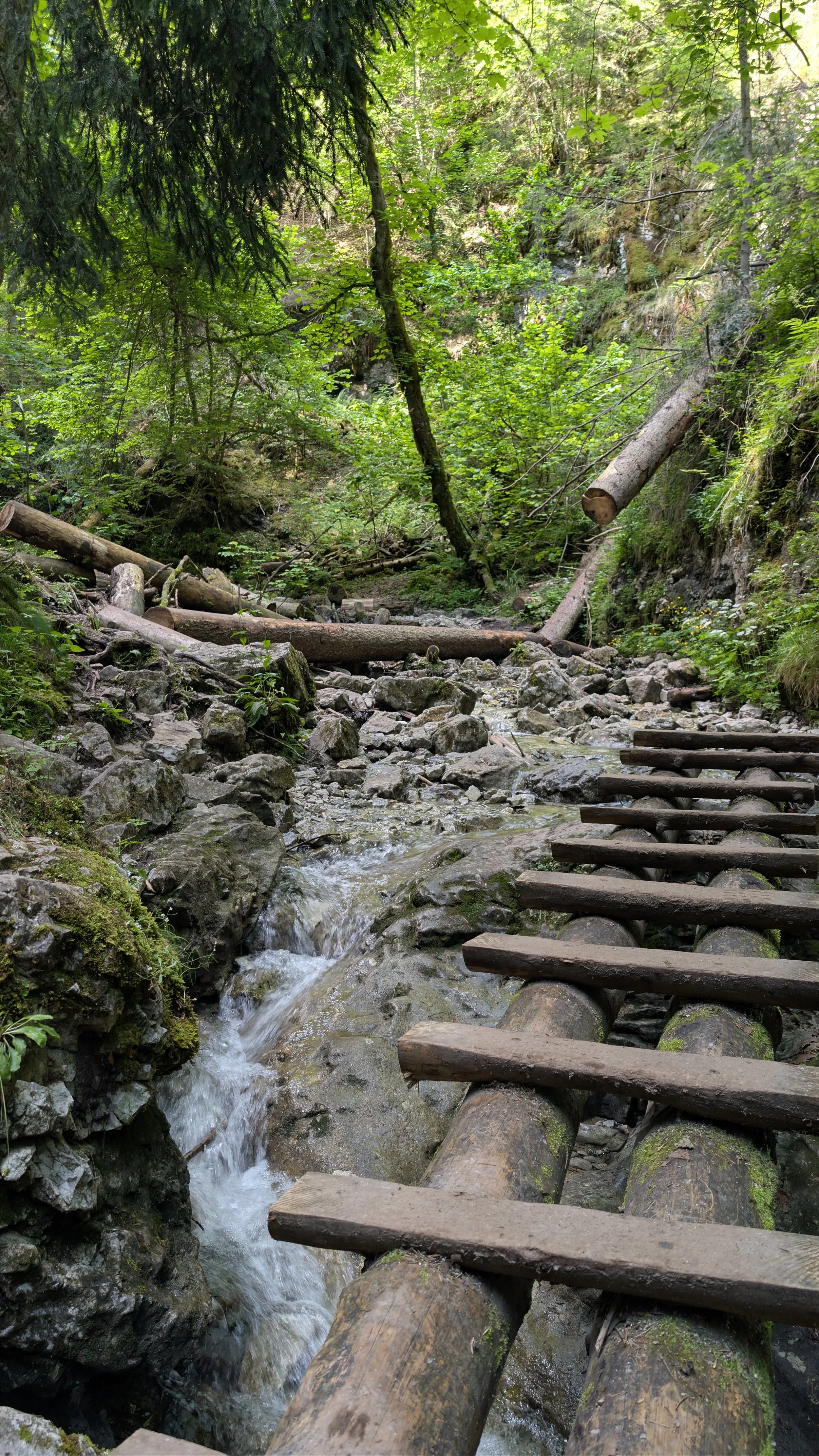
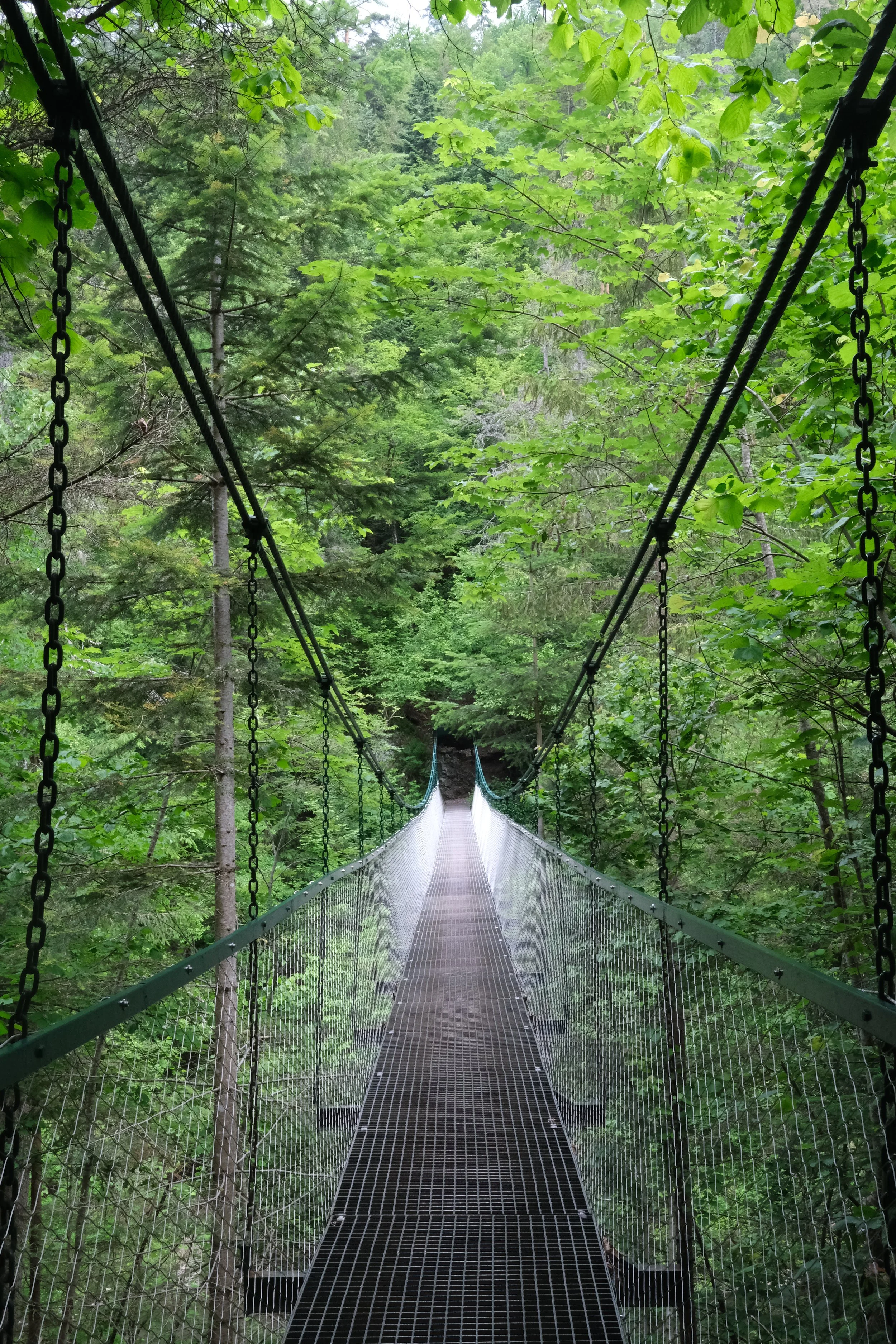
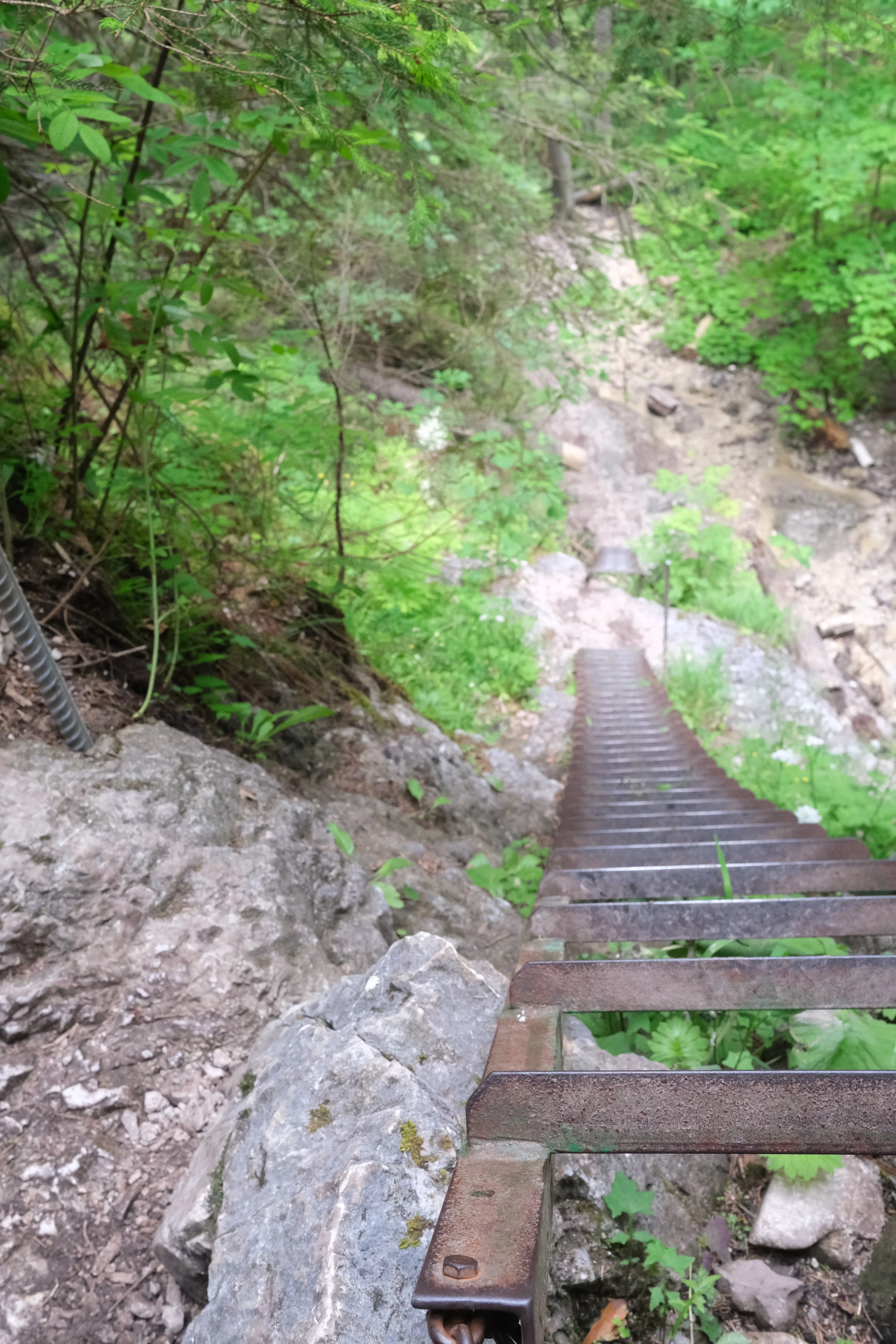
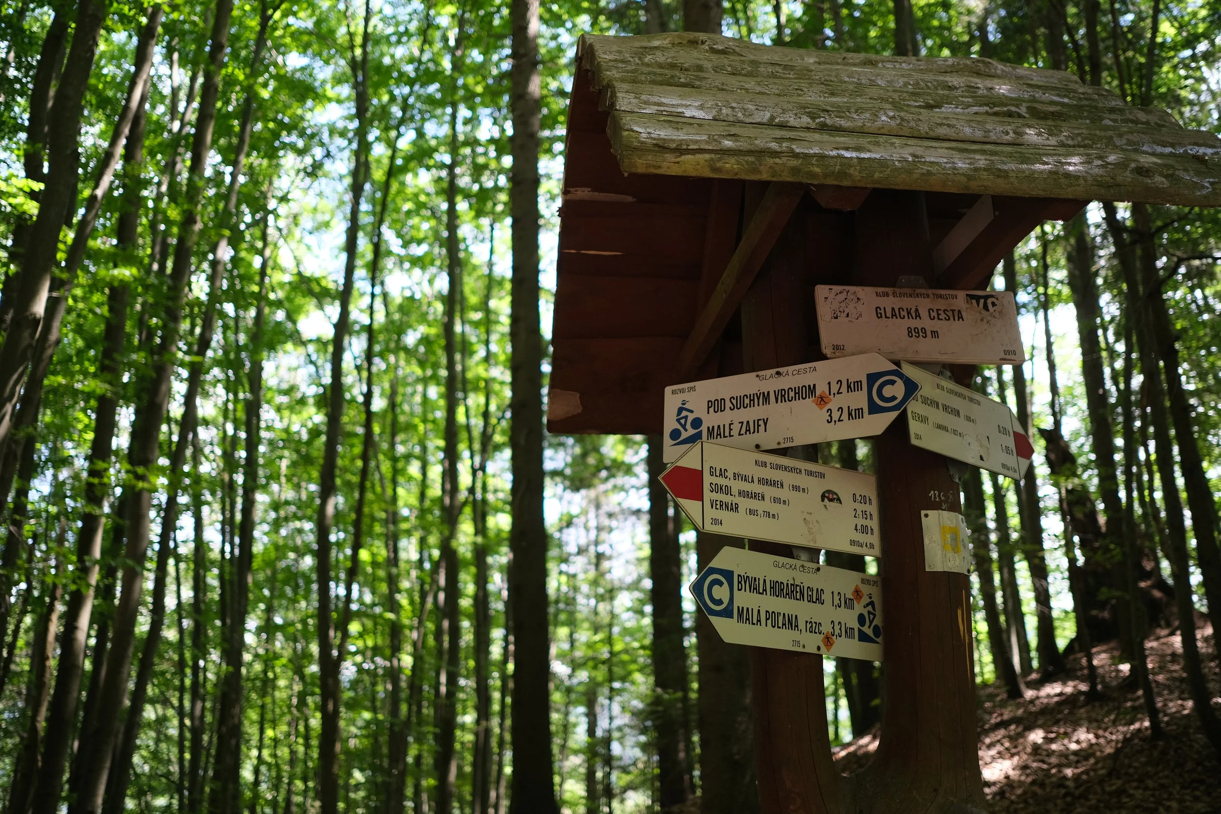
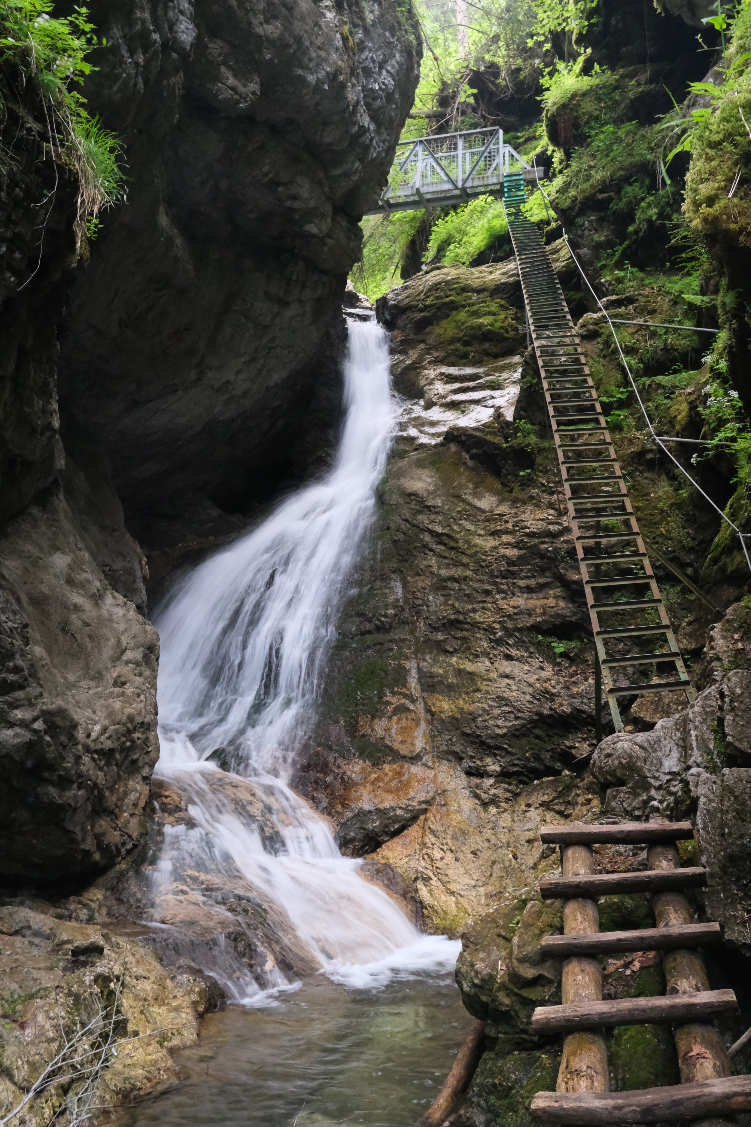
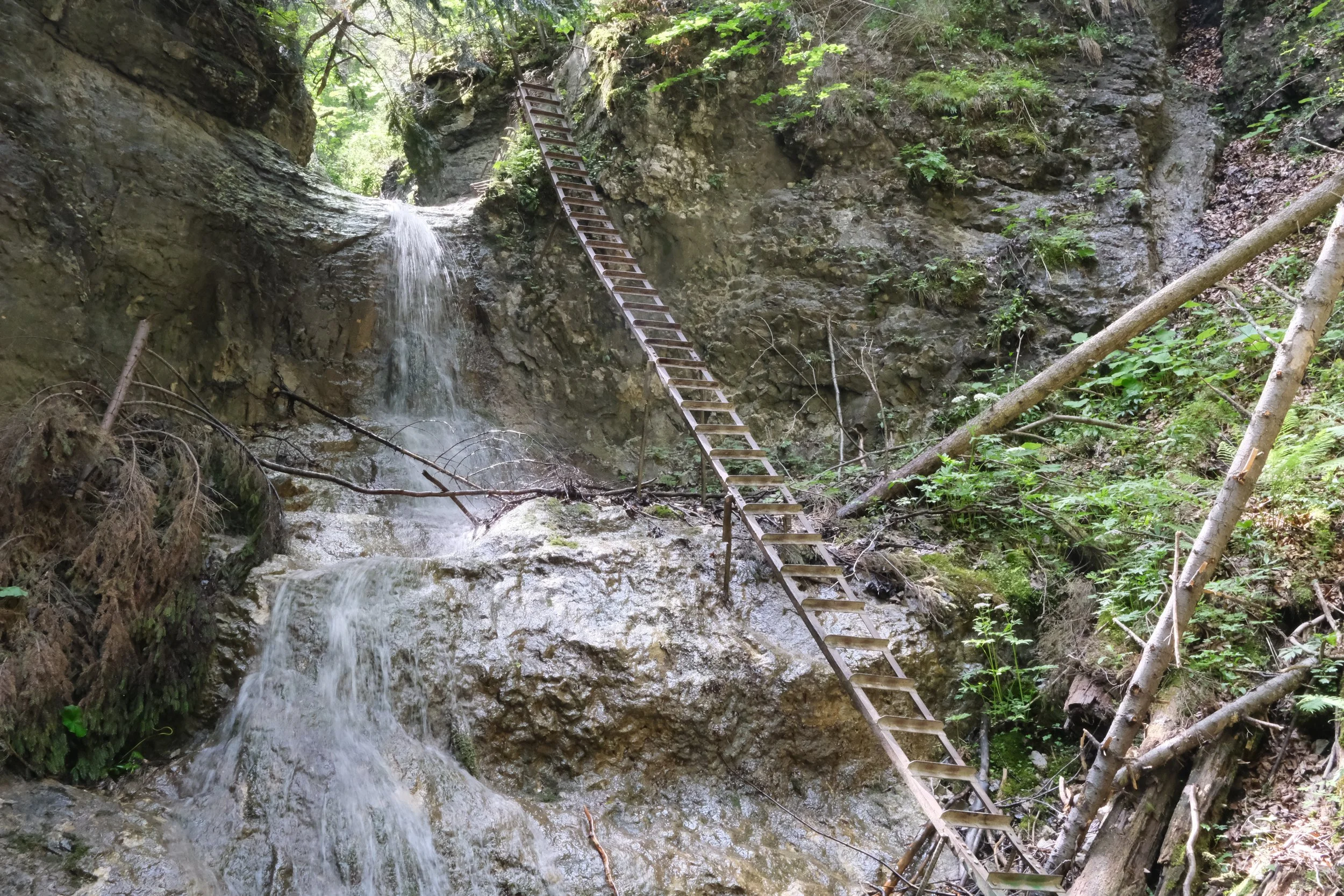
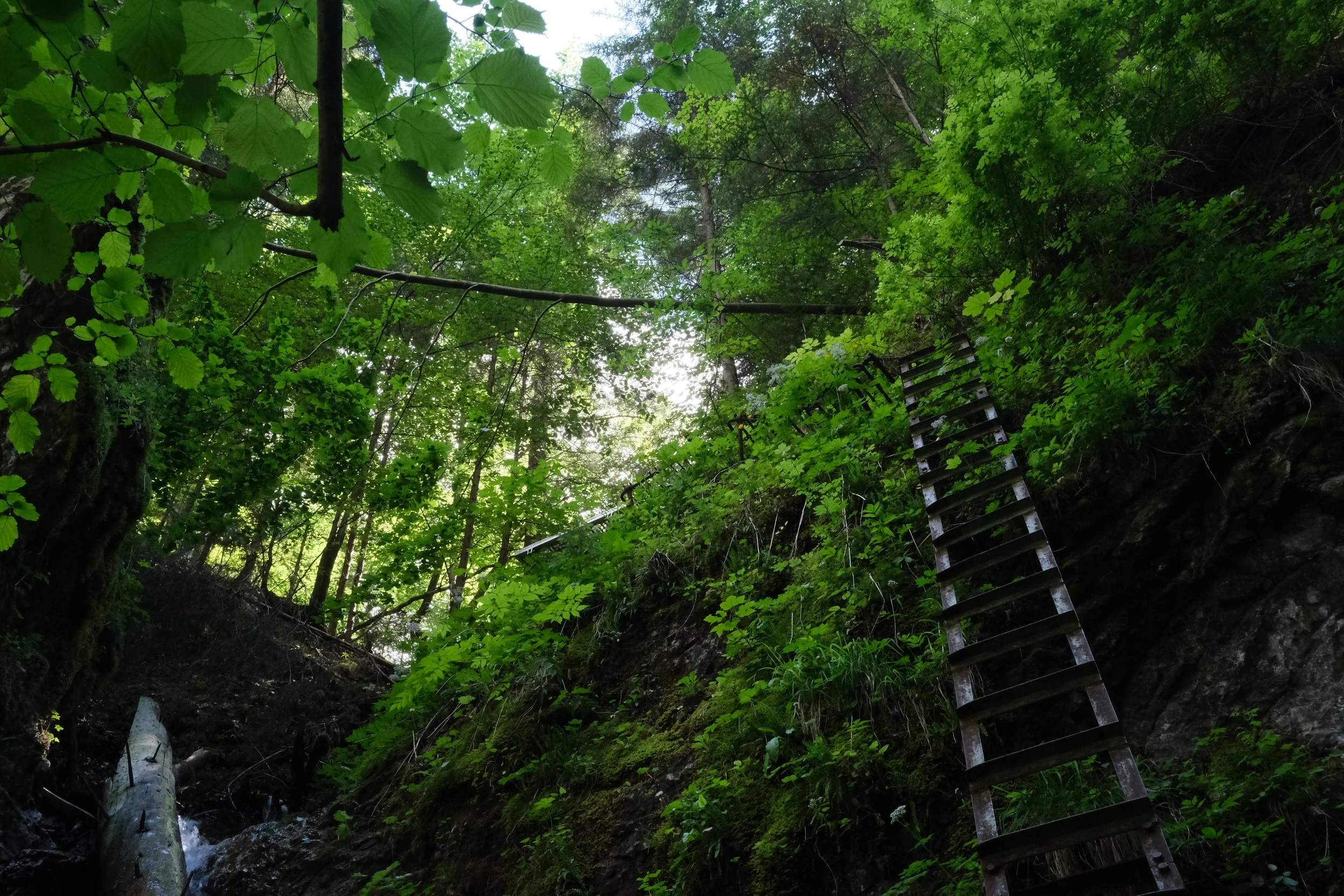
There are many amazing hikes to do which take you through narrow gorges/canyons. It is definitely for the more adventurous as each has a ladder system (Sokolia Dolina has one which is 80m long in total where the longest ladder is a whopping 17 m!), plenty of wooden footbridges, chains and metal platforms. You definitely need sure footing, good balance and a head for heights. Apart from one designated via ferrata route, there are no safety cables or harness systems, so you need to stay focused throughout.
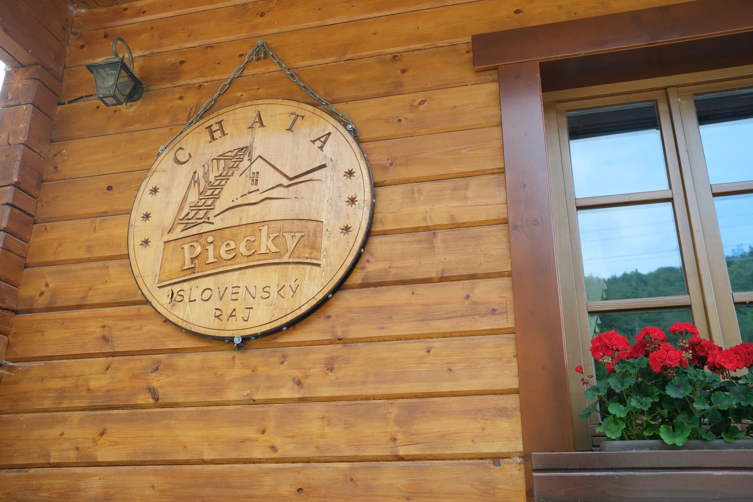
You need to buy a park ticket to enter the gorges (unless you're staying at Autocamping Podlesok, where it's included). Tickets are checked at the entrances to the more popular routes, including Suchá Belá, Piecky, Veľký Sokol, and Prielom Hornádu.
Stick to the marked trails. Even though people said it was rare, I spotted 1 brown bear in the distance as I finished Sokolia Dolina.
Bring some insect repellant as flies and mosquitoes are quite prevalent especially in the evening.
Stinging nettles are a thing! Keep an eye out for them and try to avoid them if possible.
Every hike eventually brings you back towards the Podlesok tourist area, where there are several restaurants and cafes. You're paying a bit of a tourist premium, but they're convenient after a long day on the trail, and every place I visited accepted both cash and card.
I noticed that the trails were very quiet from about 3pm onwards. This was great as you can take your time but as a solo traveller, it meant that I really had to lock in.
Generally, there was no reception within the gorges themselves.
If you want more information, I put all my planning notes and lessons learn on these guides:
A few of the hikes are still marked as drafts because I didn't get the chance to complete them due to the weather and time constraints. They're already on the list for my next visit though!
In short, hiking in Slovakia was such a unique experience with challenging routes, stunning alpine scenery, plenty of technical scrambling and amazing food and culture. Best of all, it still feels authentic and hasn't yet become as crowded as many of Europe's more famous hiking destinations. I'm already looking to go back!
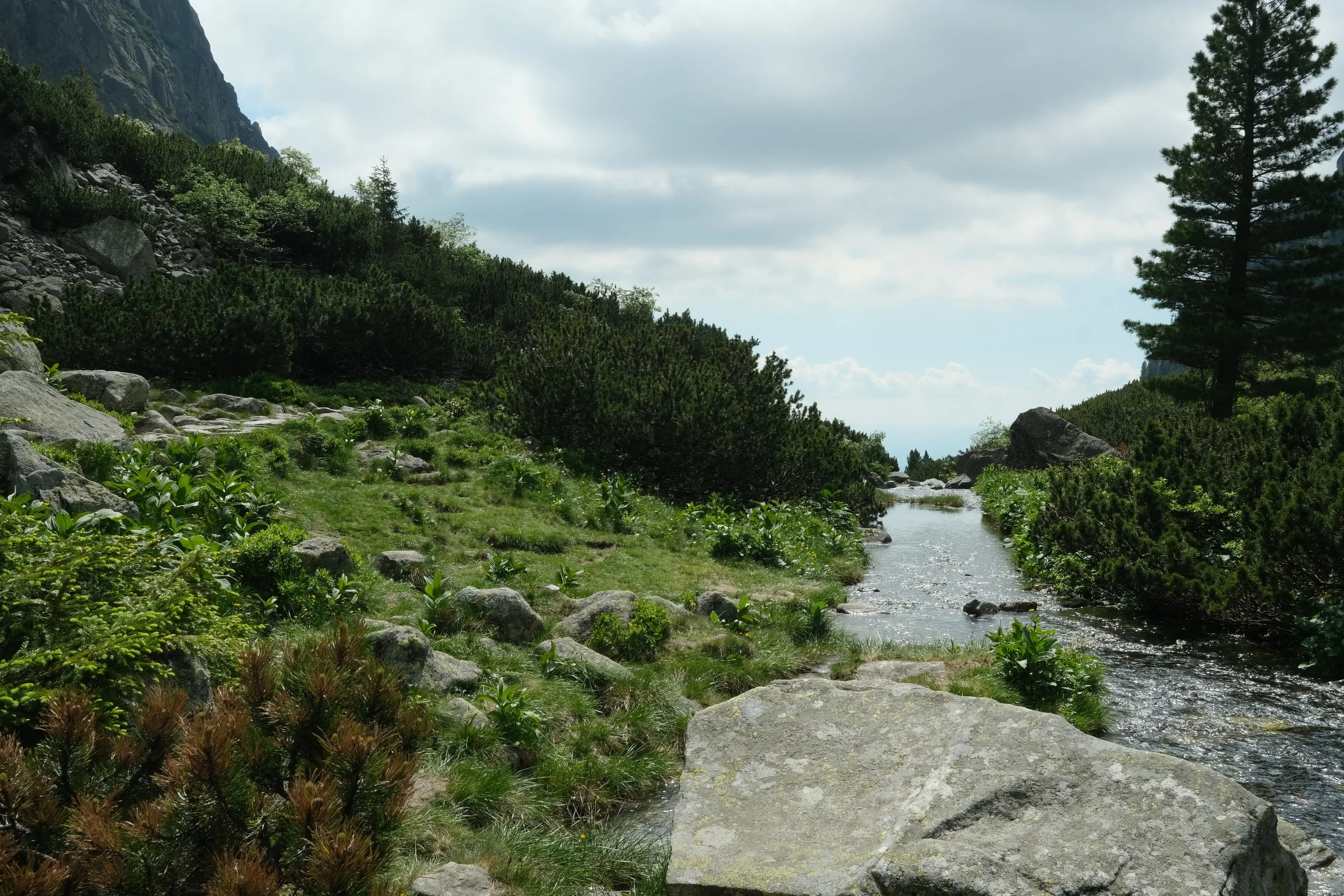
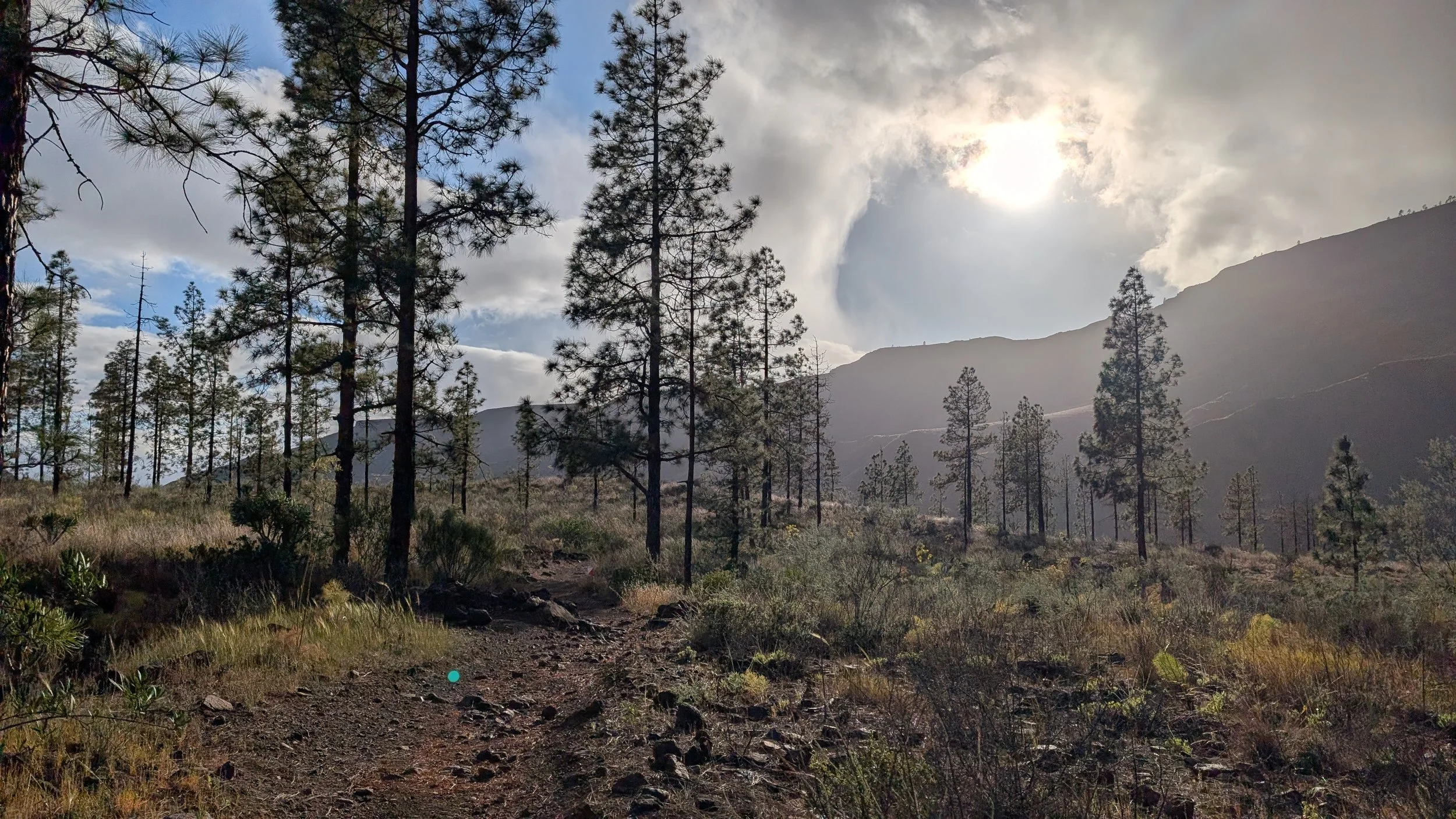
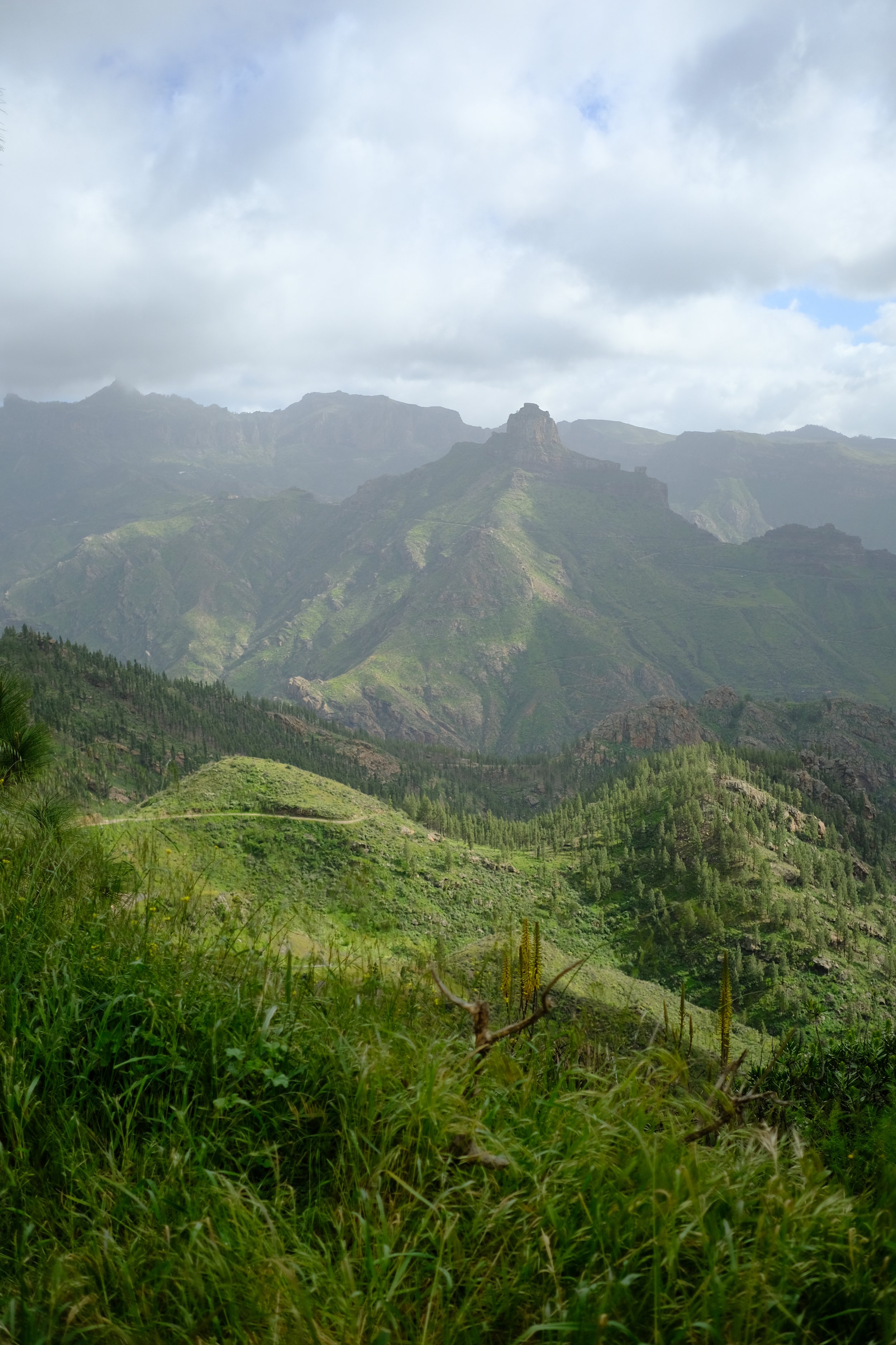
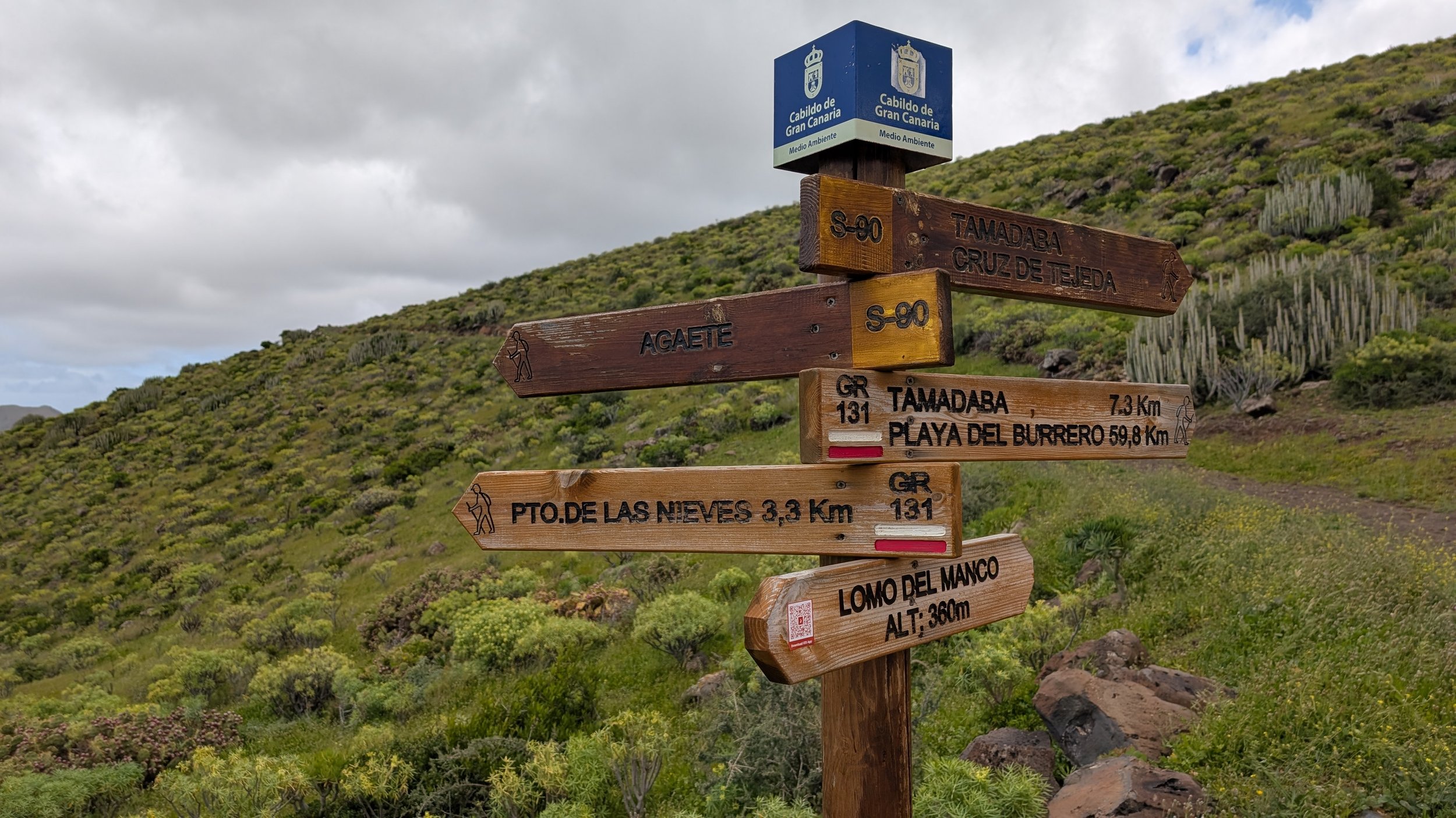
Trip Report - GR131 - Hiking and camping in Gran Canaria in February 2026
This is an extension to the Fuerteventura post as I went from one Canary Island to the another.
Below is a quick trip report of the Gran Canaria leg I completed earlier this year in March 2026:
Public Transport - Buses on the island is reliable, cheap and all accept card. But make sure to download the official GuaguasGLOBAL app to access the most up to date timetable and schedule. Google maps get’s you close but does have up to the minute updates.
Camping Gas - I couldn’t find any screw top gas canisters in Las Palmas itself. I had to catch a bus out to Tamaraceite and get the camping gas at Decathlon. The return journey took about 2 hours for me as the schedule didn’t really line up.
Water - Similarly to Fuerteventura, you’ll be relying on shops and restaurants for water as the island is quite dry in the summer months and tap water comes from desalinating sea water which can upset sensitive stomaches. Bring a water filter too as Gran Canaria is not as dry as Fuerteventure which provides more water sources.
Campsites - There were very few people at the official campsites. I was alone at Llanos de la Pez and there was only 1 other person at Llanos de la Mimbre (Tamadaba). Keep in mind that booking your space as a foreigner can be quite the process. I put together this short guide of what is involved.
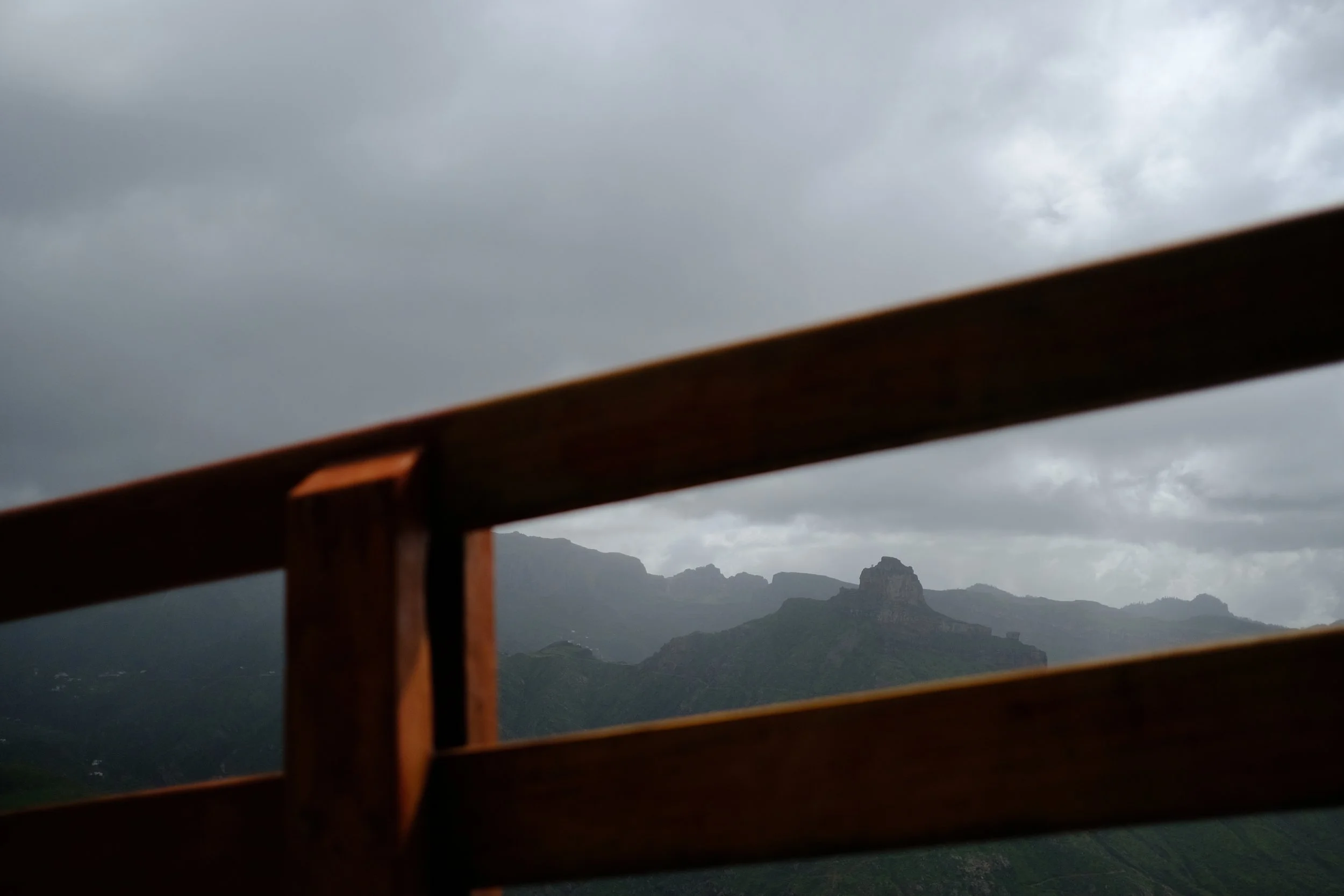
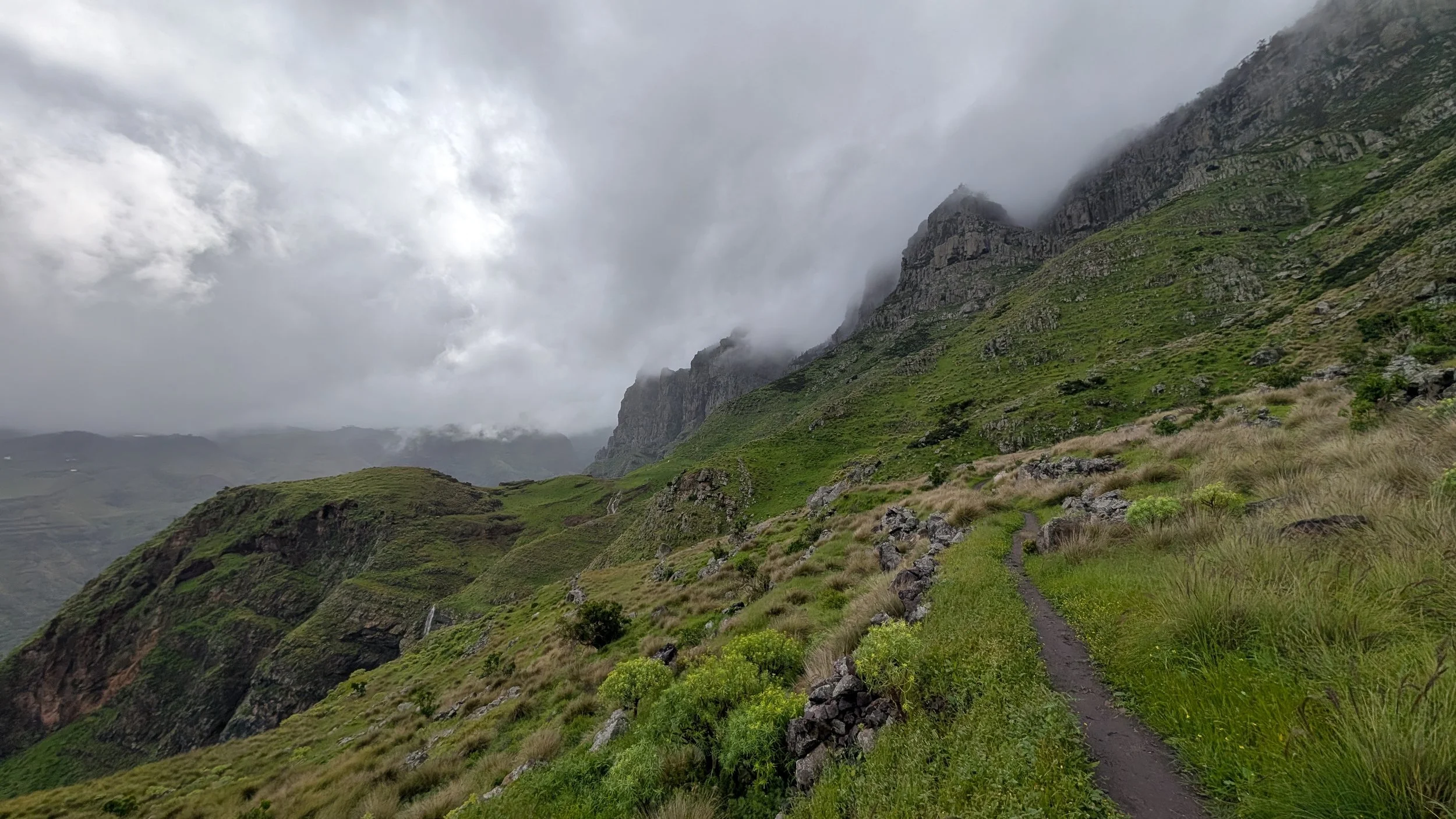
Weather - I was quite unlucky that it rained every day I was there. The weather is also very region specific; it will be fine along the coast (especially in the south) but completely miserable in the mountains at the center of the island.
Food - The route takes you through at least one town a day which makes getting food easy. There are plenty of nice restaurants open and lots of little supermakets to restock on supplies.
Cash - Most places accepts card. I only spent about 20 EUR in cash for my entire thru-hike of Gran Canaria.
Road walking - The first day from Maspalomas to San Bartolomé de Tirajana (locally known as Tunte) was terrible. 70% of the day was road walking along windy mountain road where I did not feel safe at all. If I had to do this again, I would skip this leg and simply start at Tunte.
Phone Reception - Reception was great. The only where reception was near the campsite in Tamadaba Natural Park.
People - Expect to have the trail to yourself as there are very few people walking the GR131. During my time, I met about 6 others and most of them were going in the opposite direction.
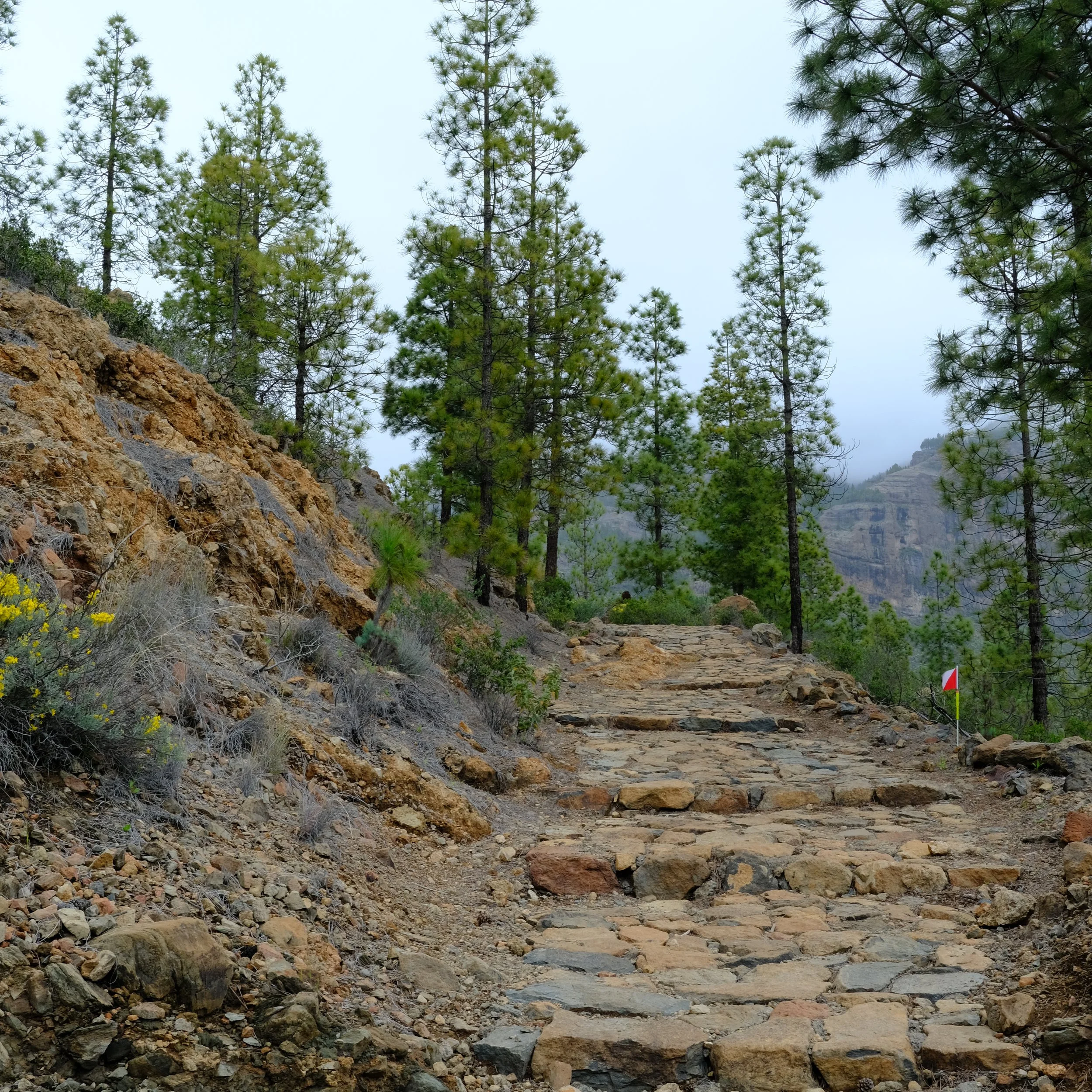
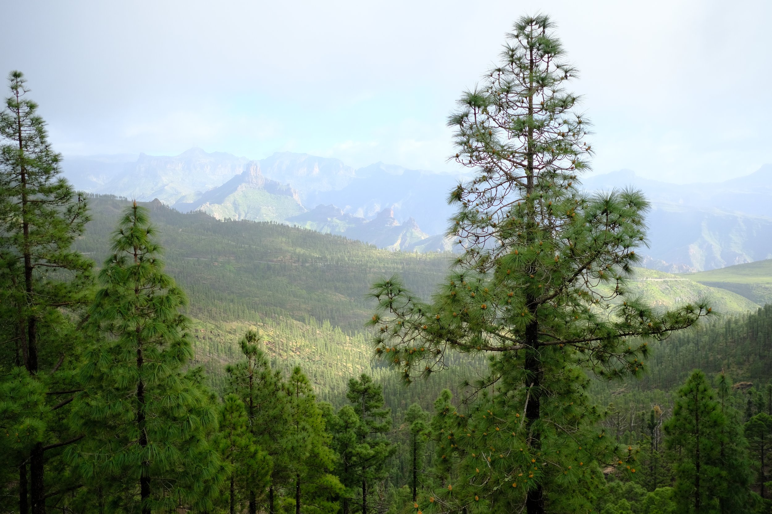
Trail - The trail from day 2 to 4 was amazing. You cover lots of elevation providing stunning views with changing terrain from rocky mountains to lush forests. I just wish I had better weather as my views were obscured about 80% of the time 😅.
I put all my planning notes and lessons learnt on this page: https://www.chalkypeaks.com/gr131-gran-canaria-maspalomas-to-puerto-de-las-nieves-4-days
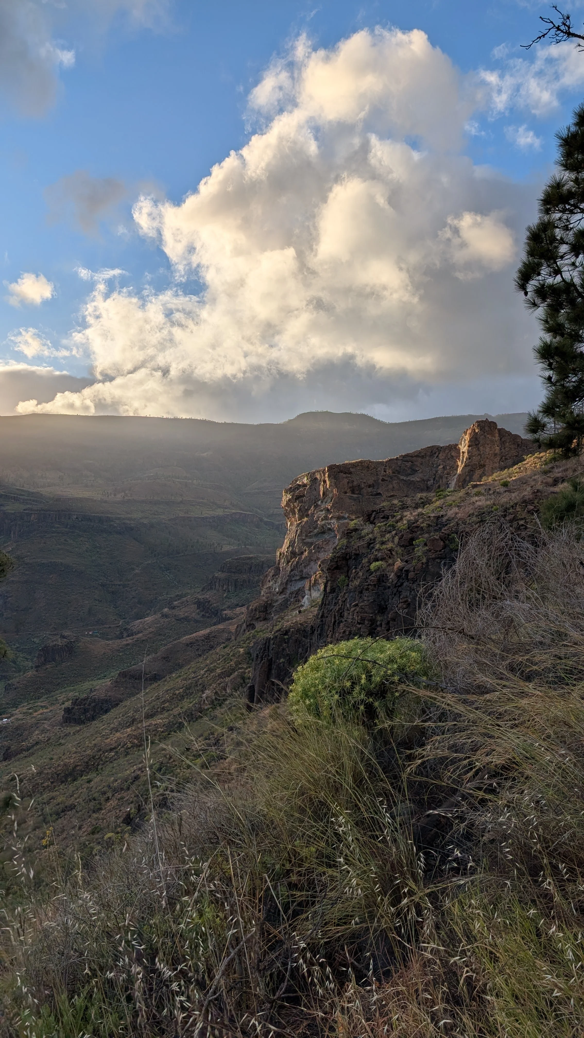
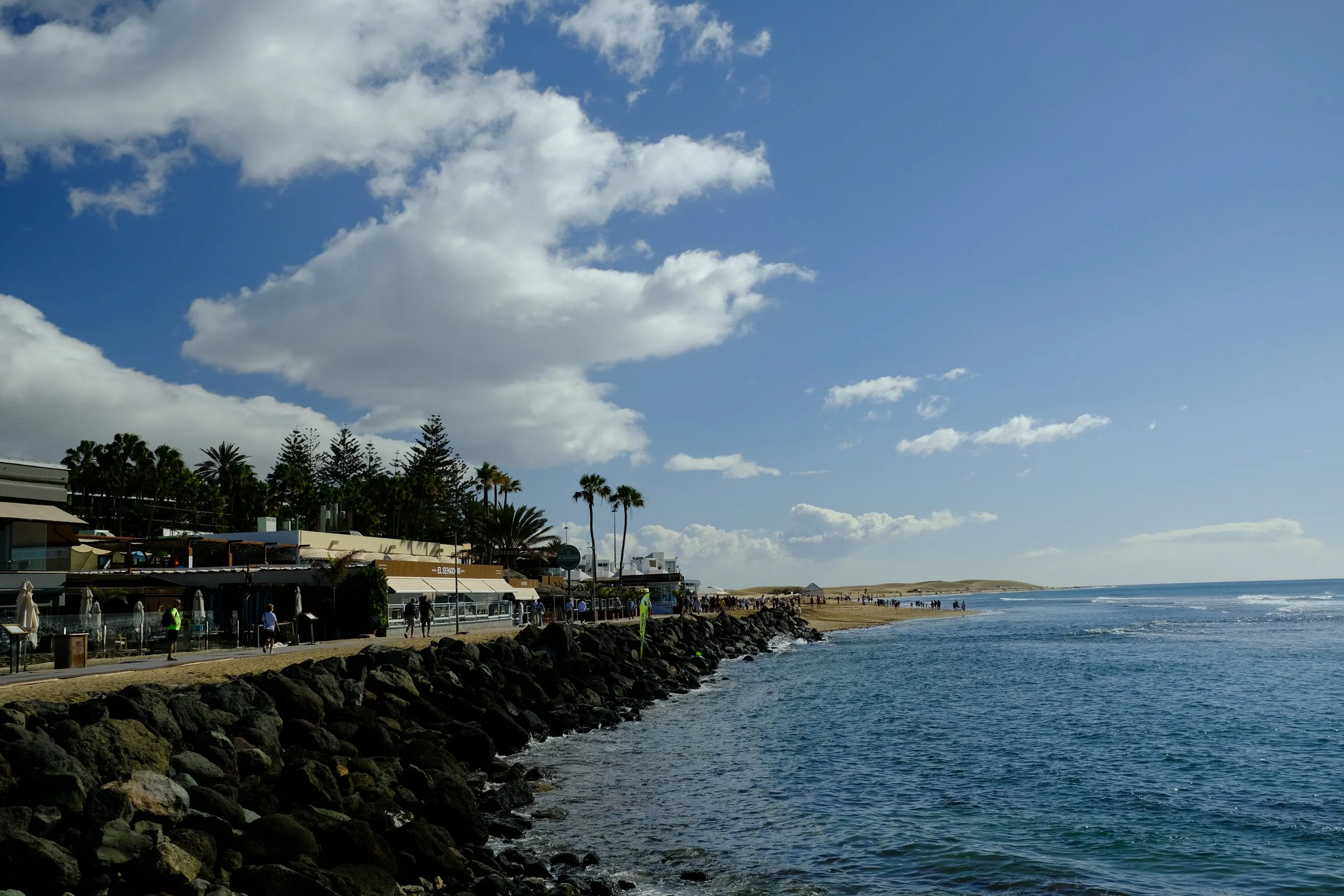
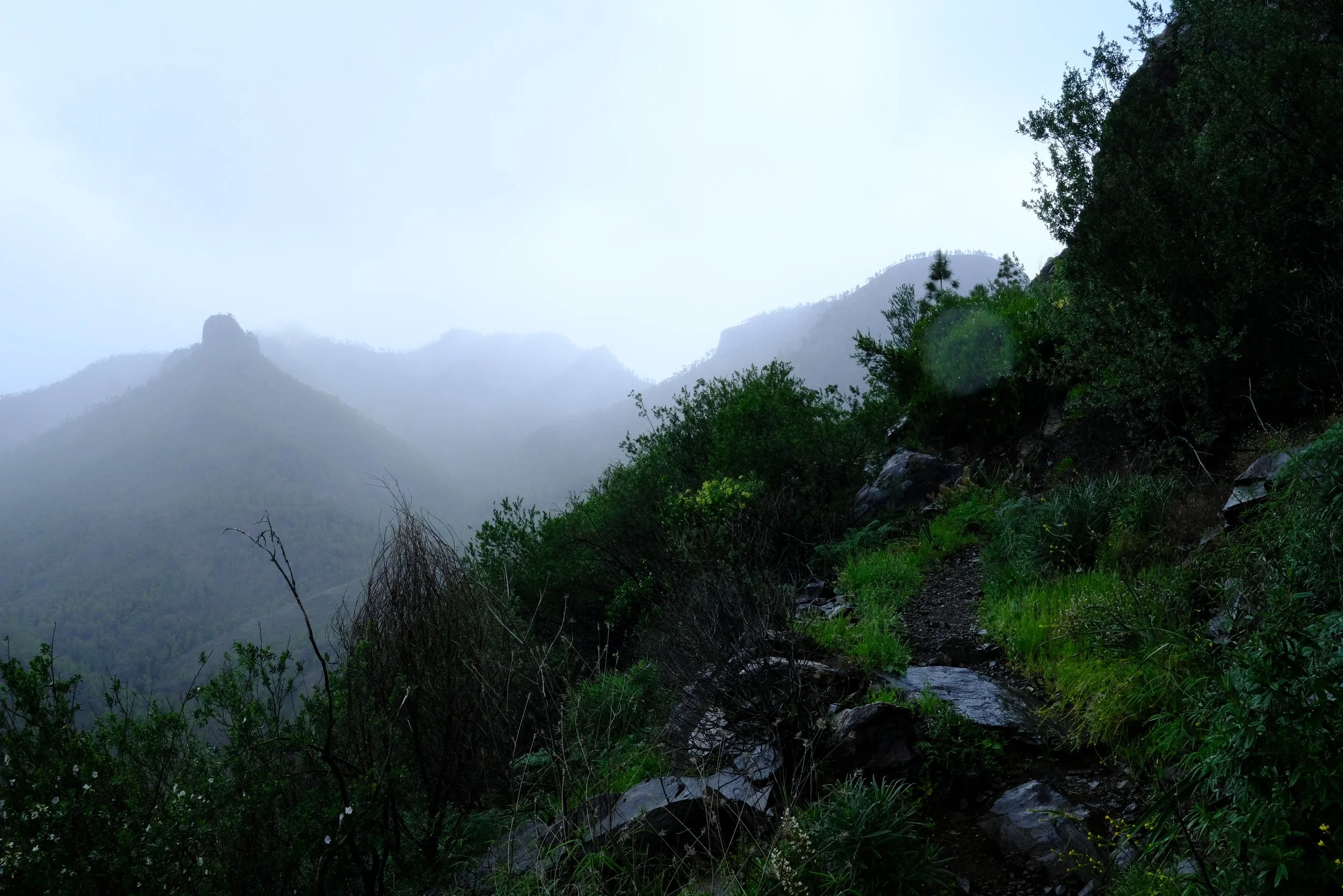
Trip Report - GR131 - Hiking and camping in Fuerteventura in February 2026
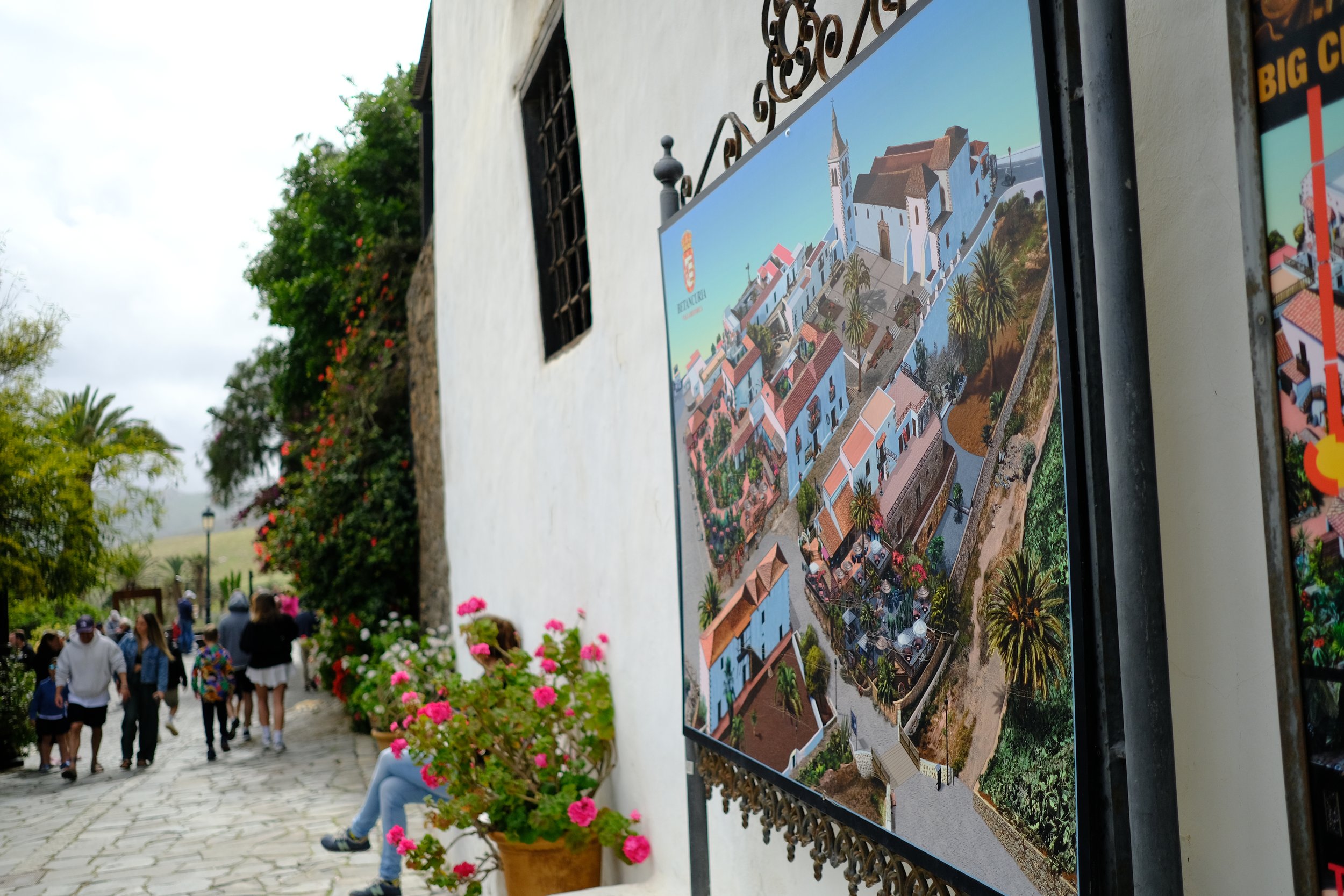
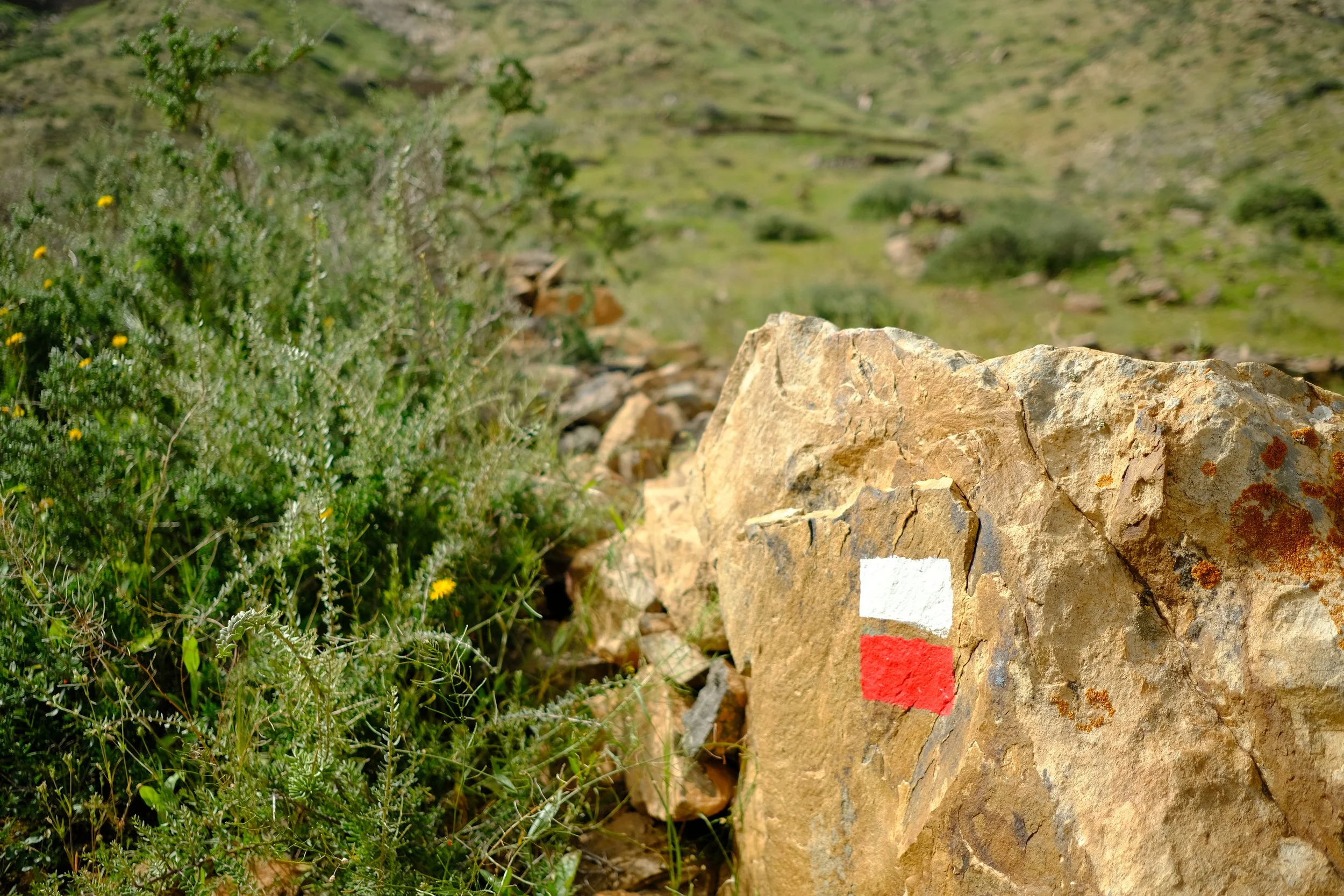
In late 2025, I started looking for warmer destinations when things were starting to get cold in London 🥶. After a bit of research, I found out about the amazing GR131 trail which crosses all of the Canary Islands. Considering flights were very cheap (50-60 GBP excluding luggage), it made it a no brainer.
Below is a quick trip report of the Fuerteventura leg I completed earlier this year in February/March 2026
In late 2025, I started looking for warmer destinations when things were starting to get cold in London 🥶. After a bit of research, I found out about the amazing GR131 trail which crosses all of the Canary Islands. Considering flights were very cheap (50-60 GBP excluding luggage), it made it a no brainer.
Below is a quick trip report of the Fuerteventura leg I completed earlier this year in February/March 2026:
✈️ Airport Transfers - The prebook shuttle from the airport to Corralejo was very handy but does wait around at the airport for quite a bit. The trip time may also take longer than expected as it makes multiple stops to drop everyone off. So if you’re the last person like I was, it can take an extra 45min on top of getting into Corralejo.
🔥 Camping Gas - I could not get a screw top gas canister. A lot of hardware stores sold the puncture types which were massive and not really suitable for backpackers. After quite a bit of looking, I managed to find a gas canister with easy-clic connection at a spar supermarket. I was lucky enough that I had an easy-clic to screw thread adapter.
💧Water - You’ll be relying on shops and restaurants for water as the island is very dry and you won’t find many natural water sources. The locals recommend that you only drink bottle water. Tap water is safe to drink, but as it comes from desalinating sea water, it can have a funny taste and may upset sensitive stomaches.
💨 Wind - Wind can be a pain. Definitely, strap everything up unless you feel like playing tag with your gear.
🍕Food - Food was very easy to get along the trail. Each day you pass through at least one town where you can get something to eat and restock on supplies.
💶 Card and Cash - Many shops and restaurants accept card. The only spots which required cash are the small traditional Spanish style bars. Having about 50-100 EUR should be more than enough.
🚖 Emergency Transport - Ride sharing services such as Uber and Bolt are not available on the island.
📱Phone Reception - Reception was quite good along the trail. The only place where reception was not the greatest was between Pájara and La Pared. However, in saying that, please ensure that you have offline navigation available.
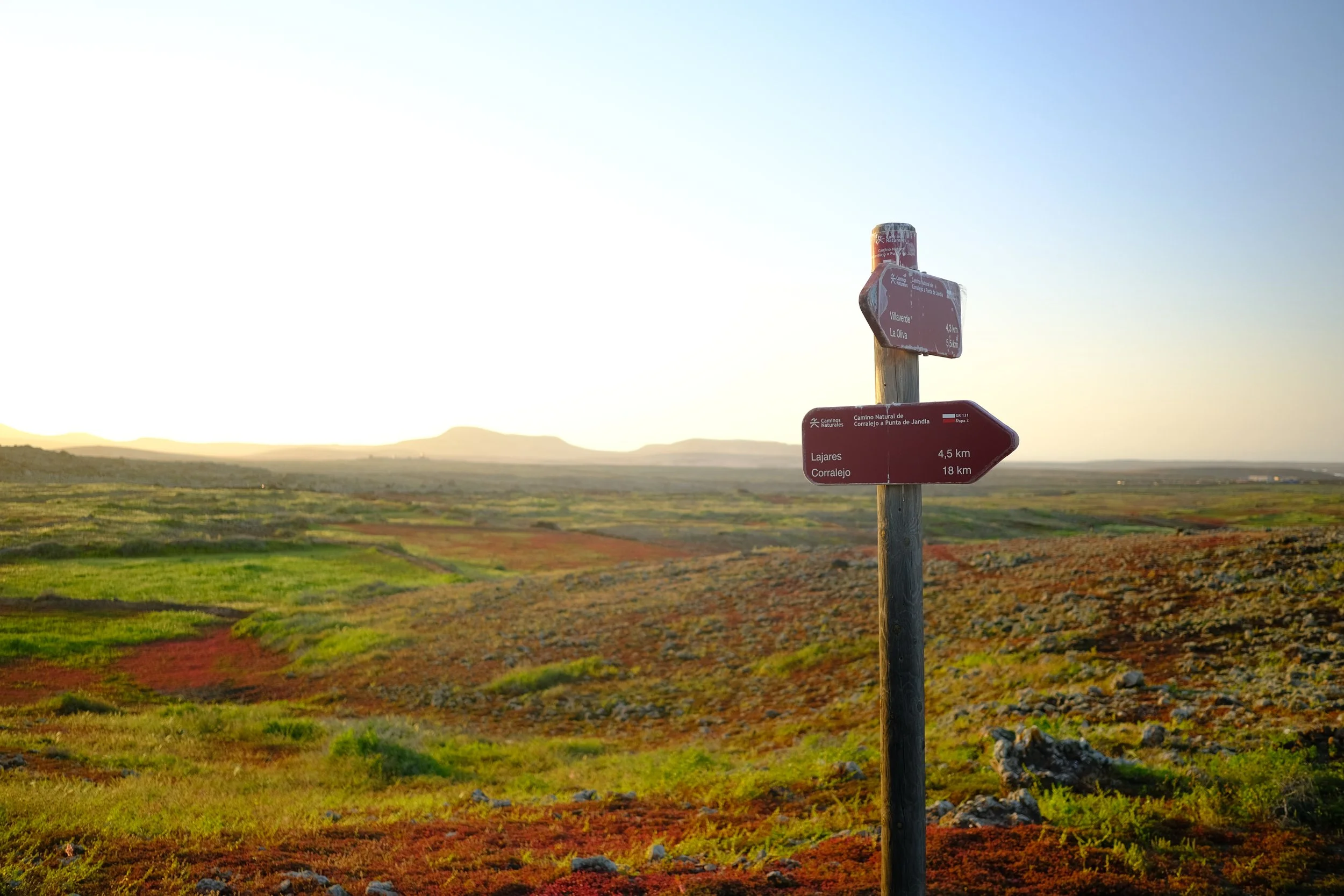
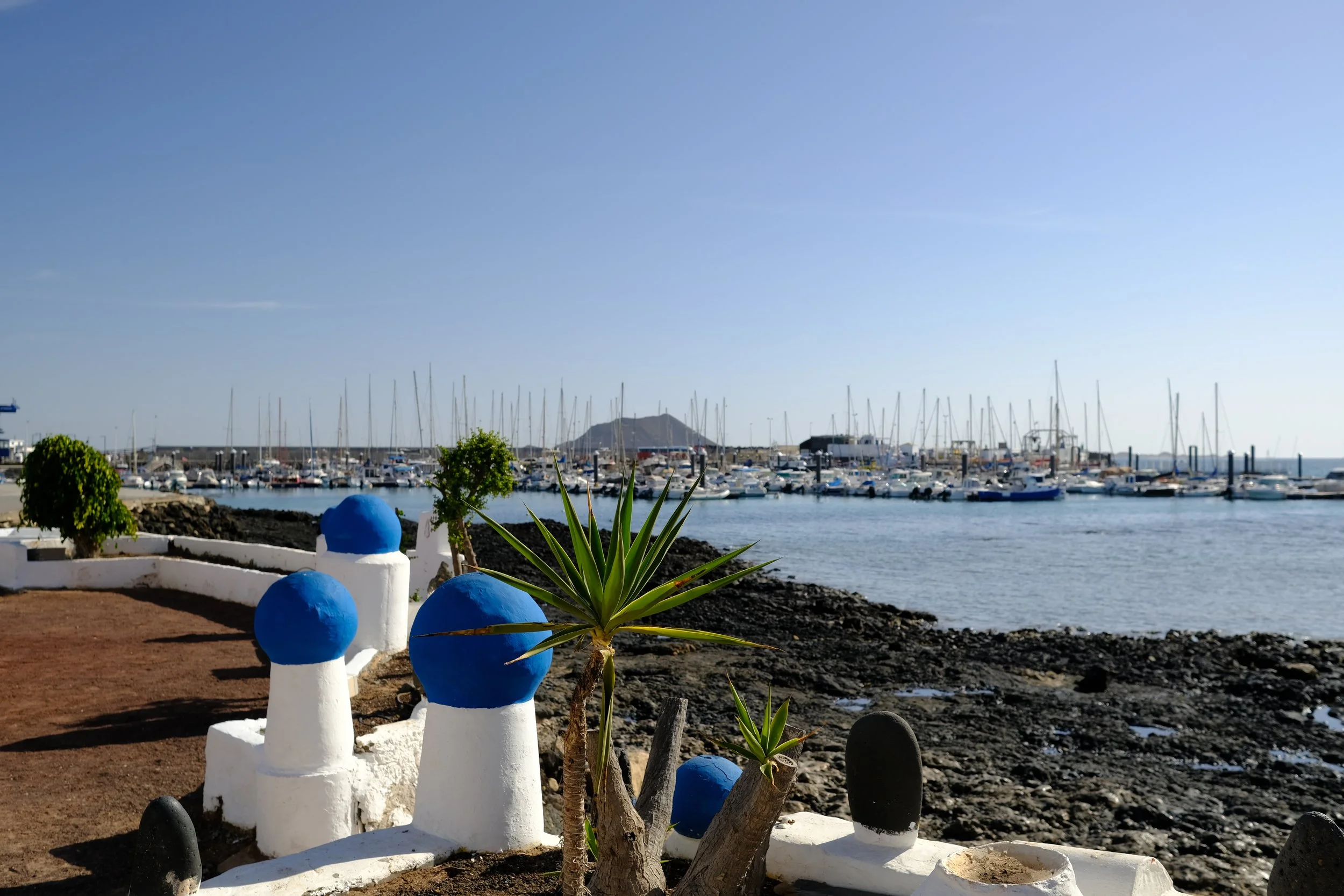
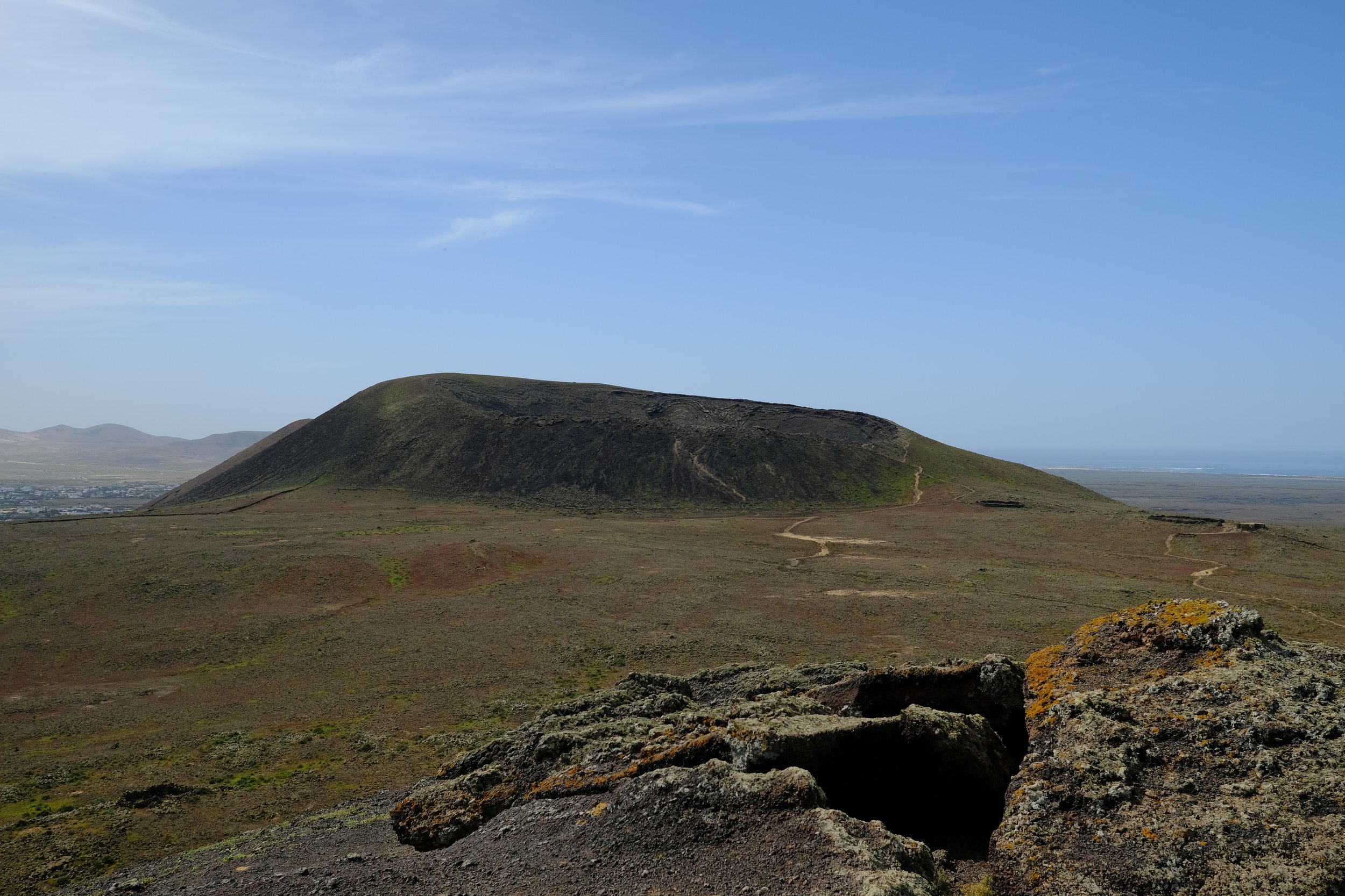
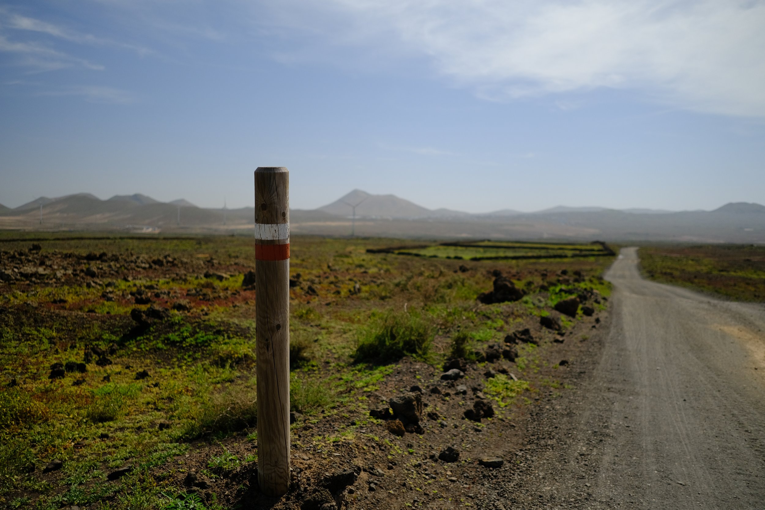
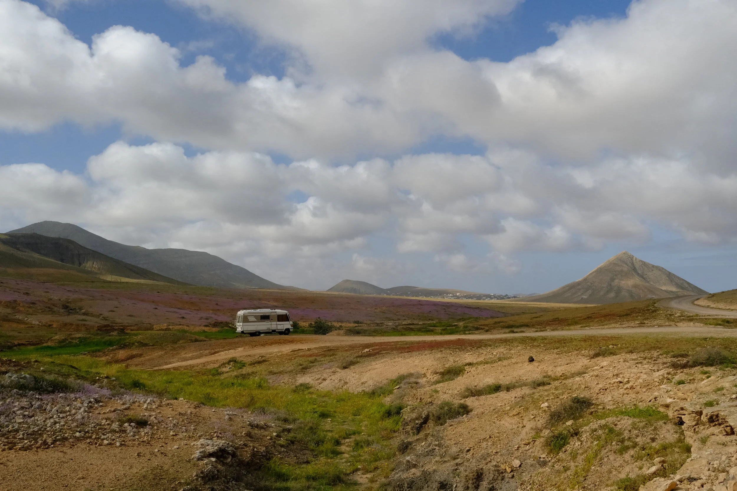
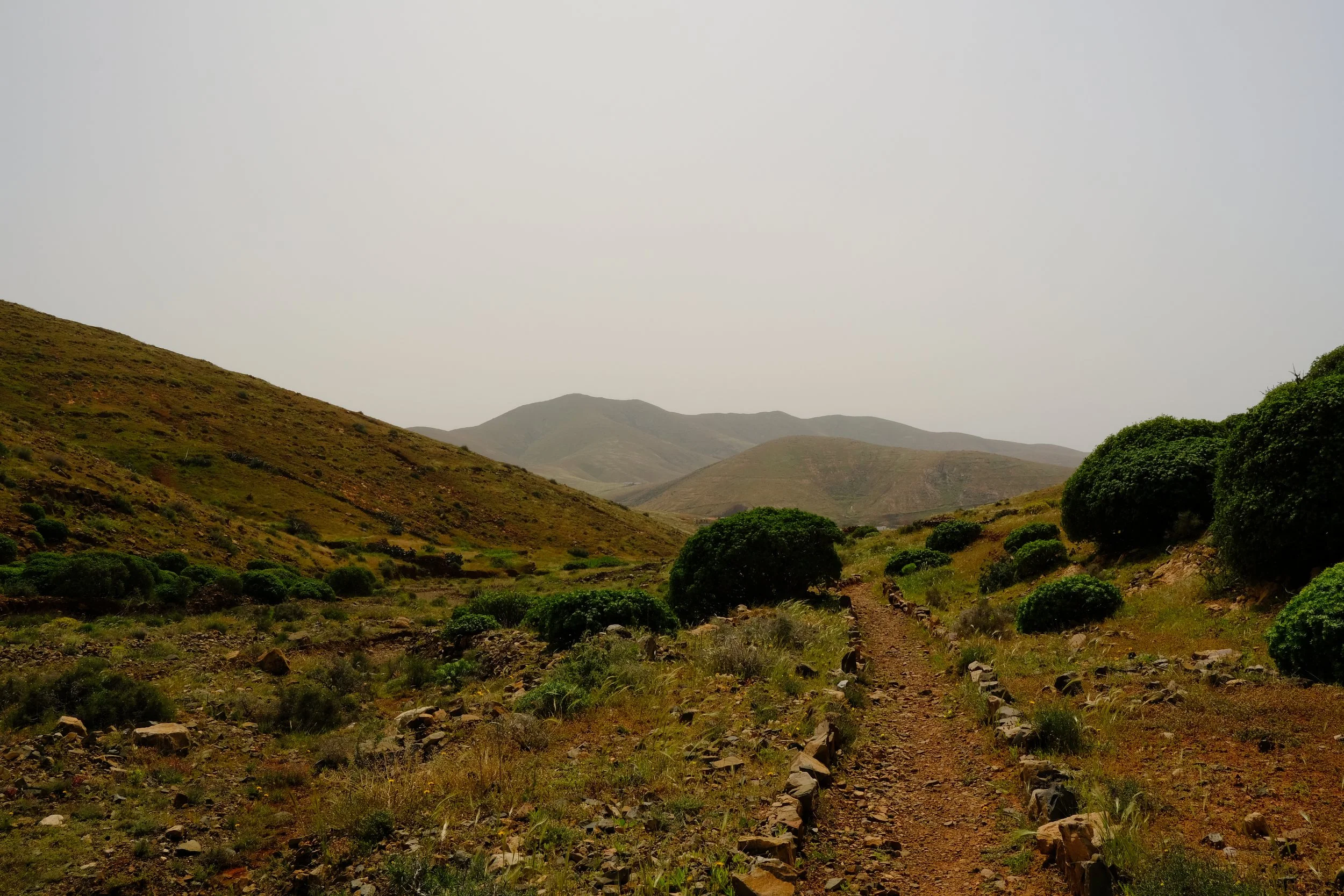
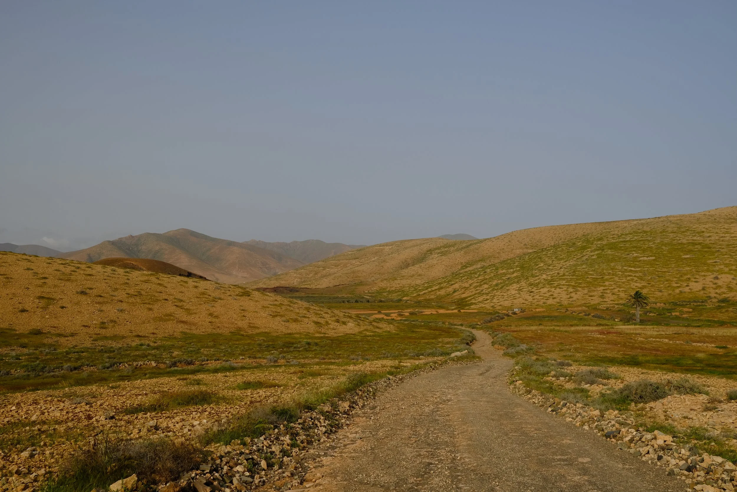
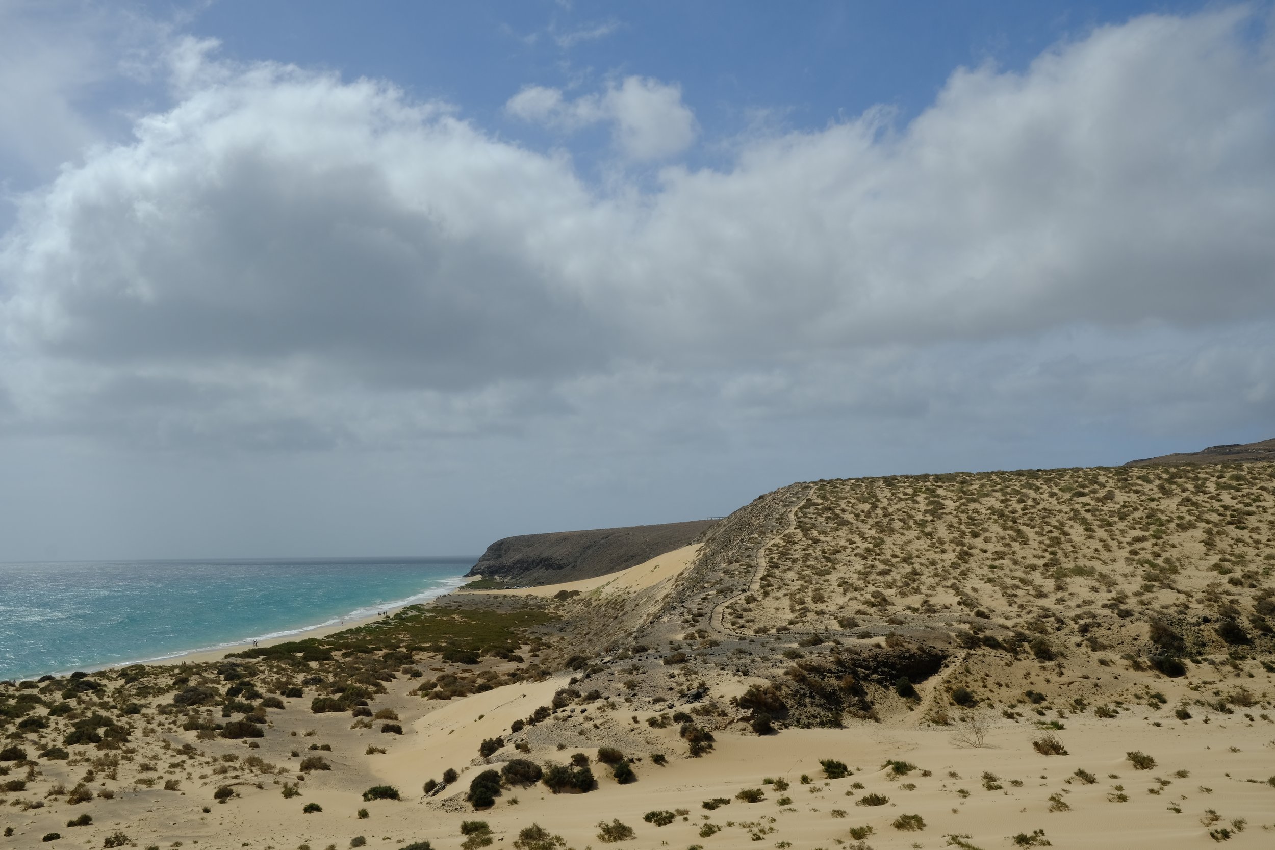
🌲 Scenery - In general, the atmosphere was amazing and the scenery was surreal. Although, it doesn’t have the dramatic sights of places like the Alps or the green grasslands of the UK, Fuerteventura has its own vibes.
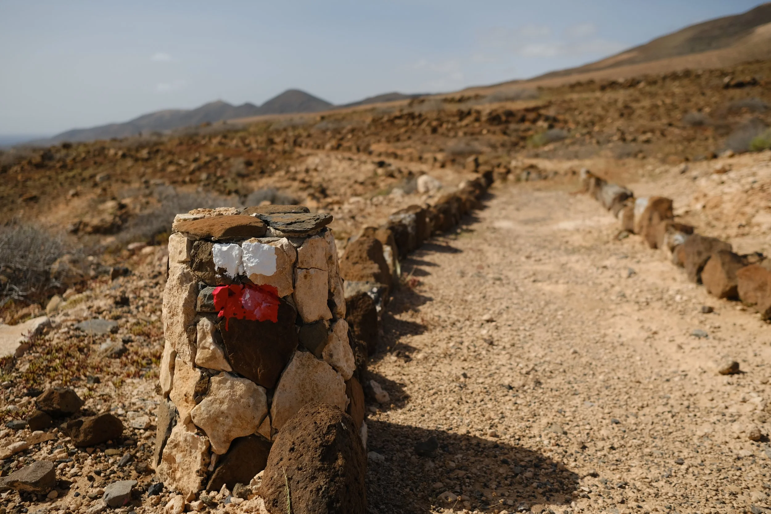
🛣️ Road Walking - There are sections which required bit of road walking with the worst being the trail leading into La Pared where I was questioning life choices.
⛴️ Ferries - It might be silly but one of the highlights was catching a ferry from Fuerteventura over to Gran Canaria to continue the hike.
I put all my planning notes and lessons learnt on this page: https://www.chalkypeaks.com/gr131-fuerteventura-corralejo-to-morro-jable-6-days
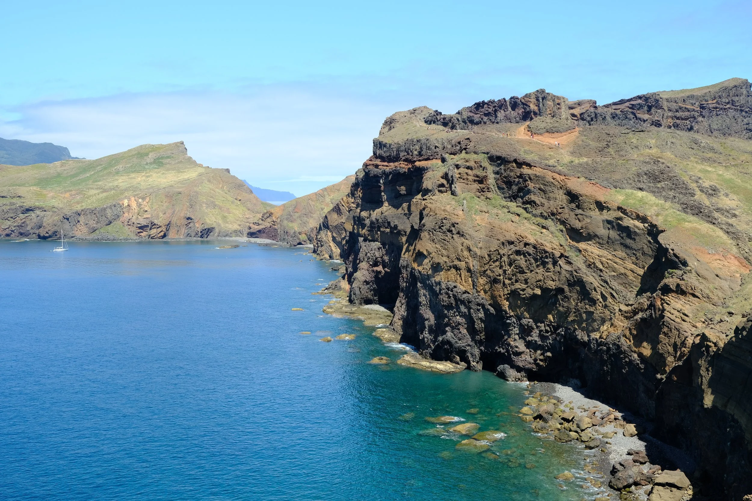
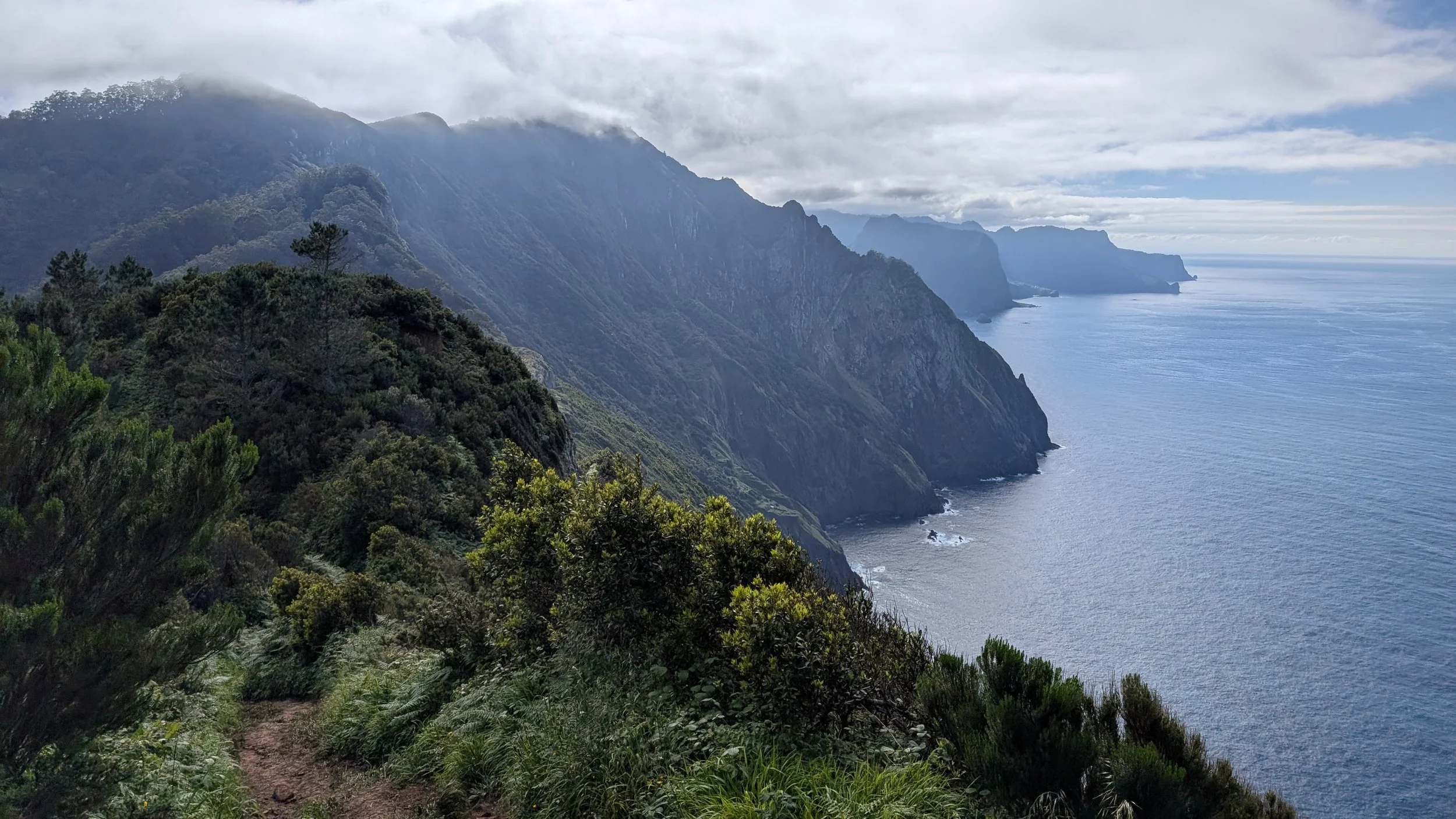
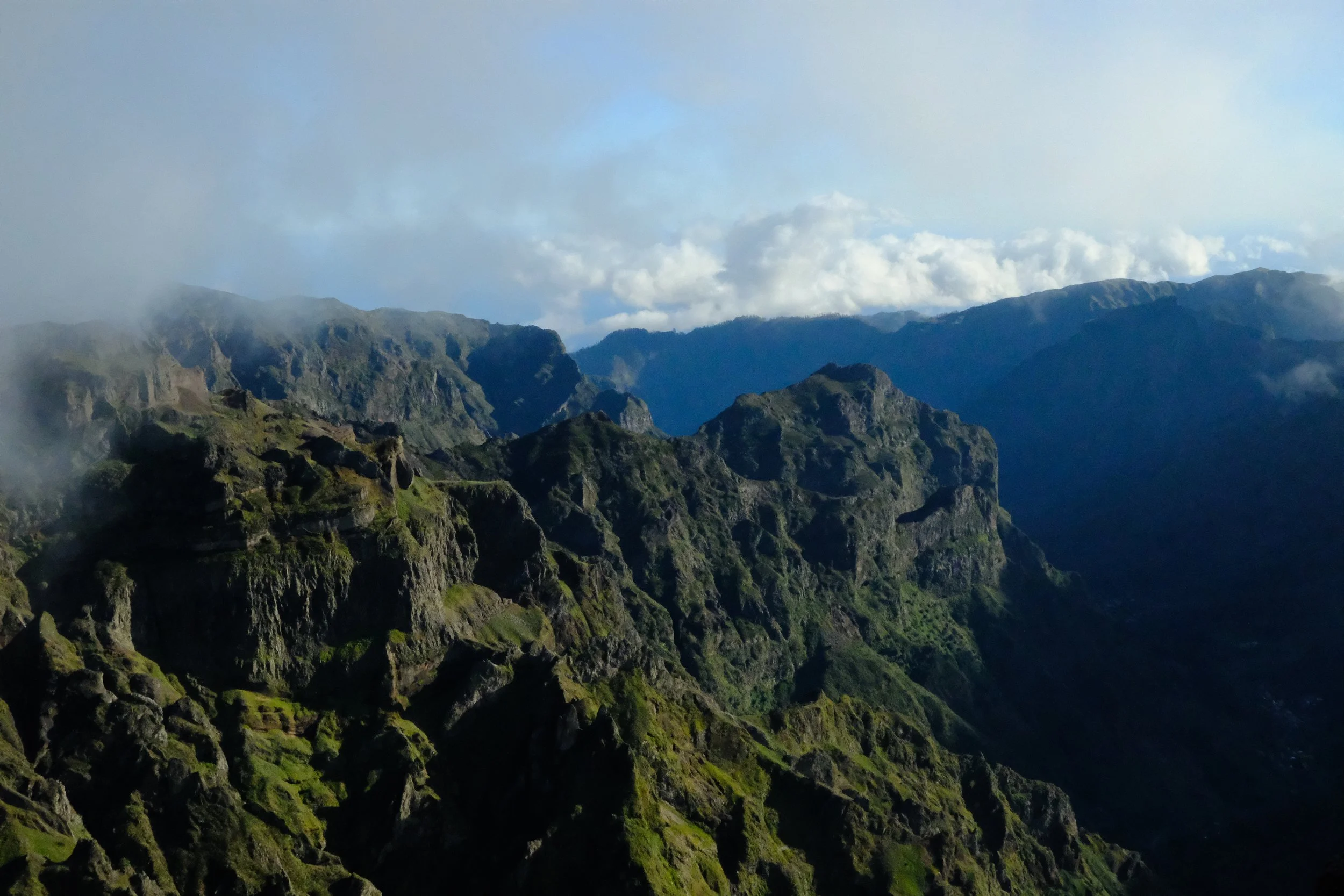
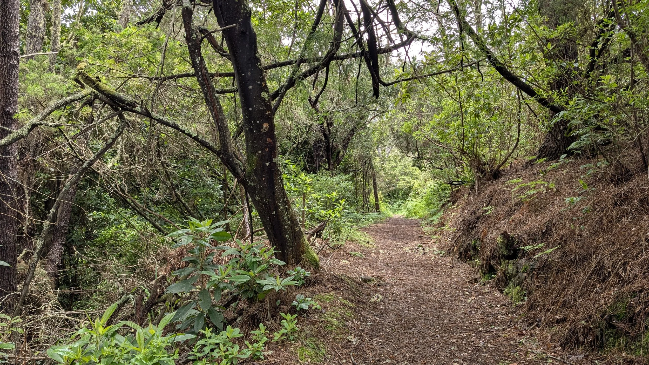
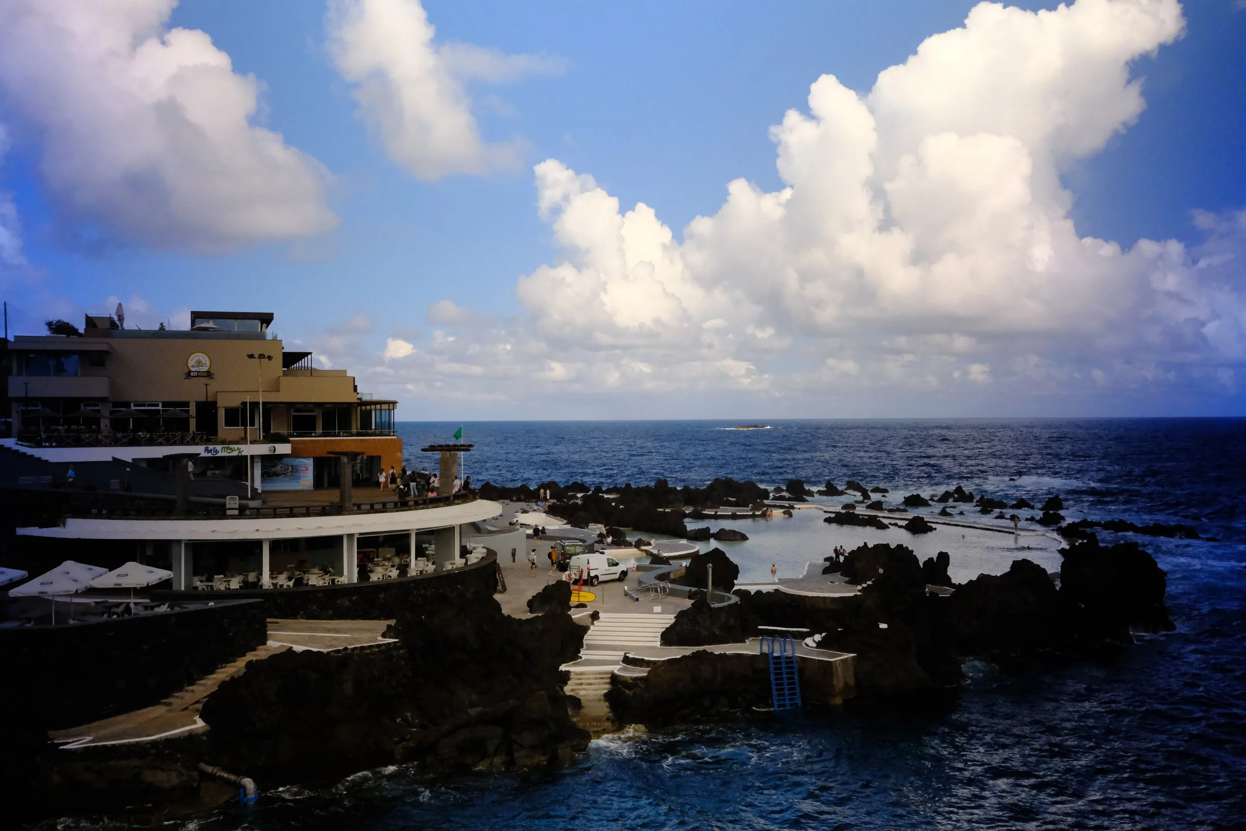
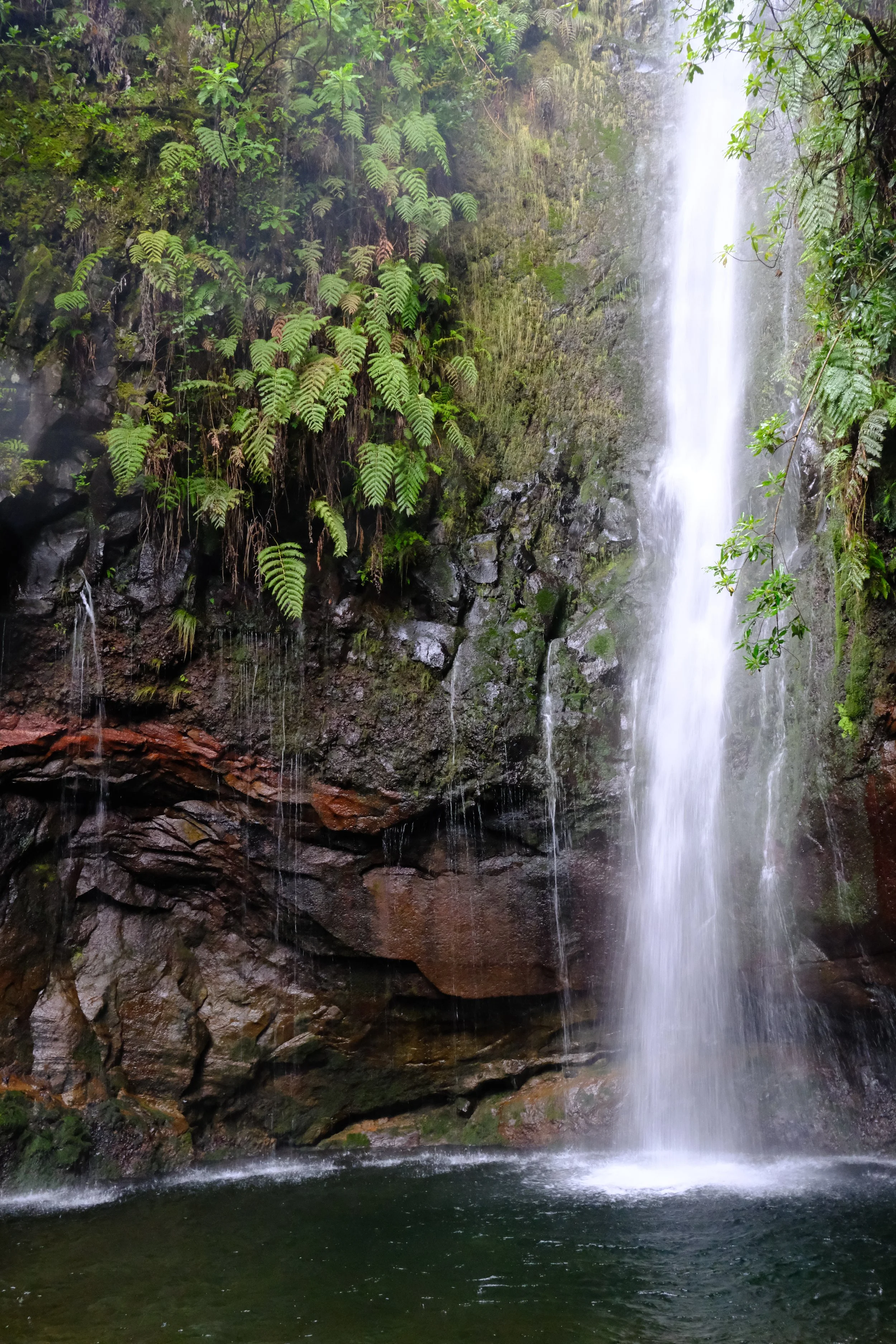
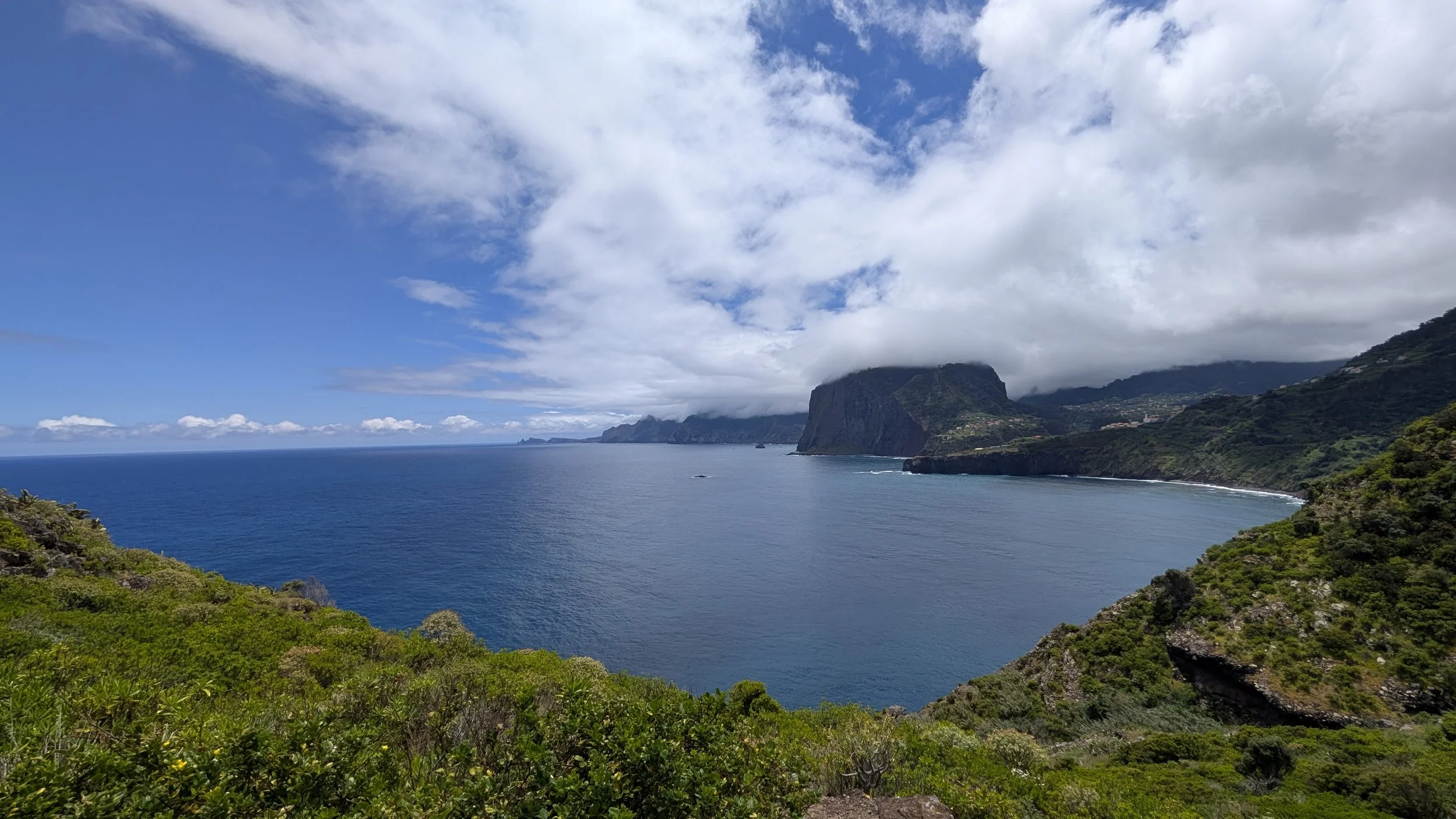
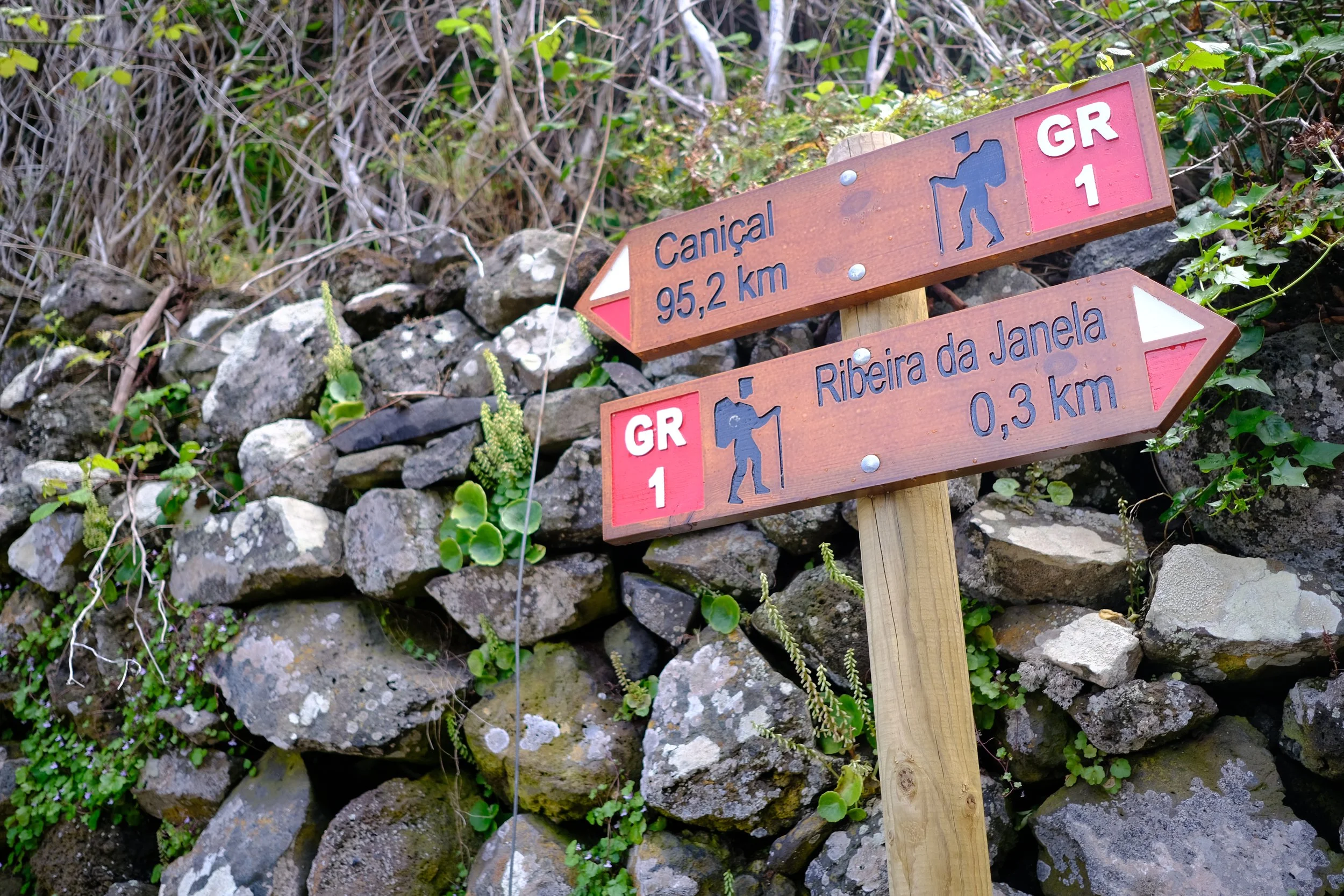
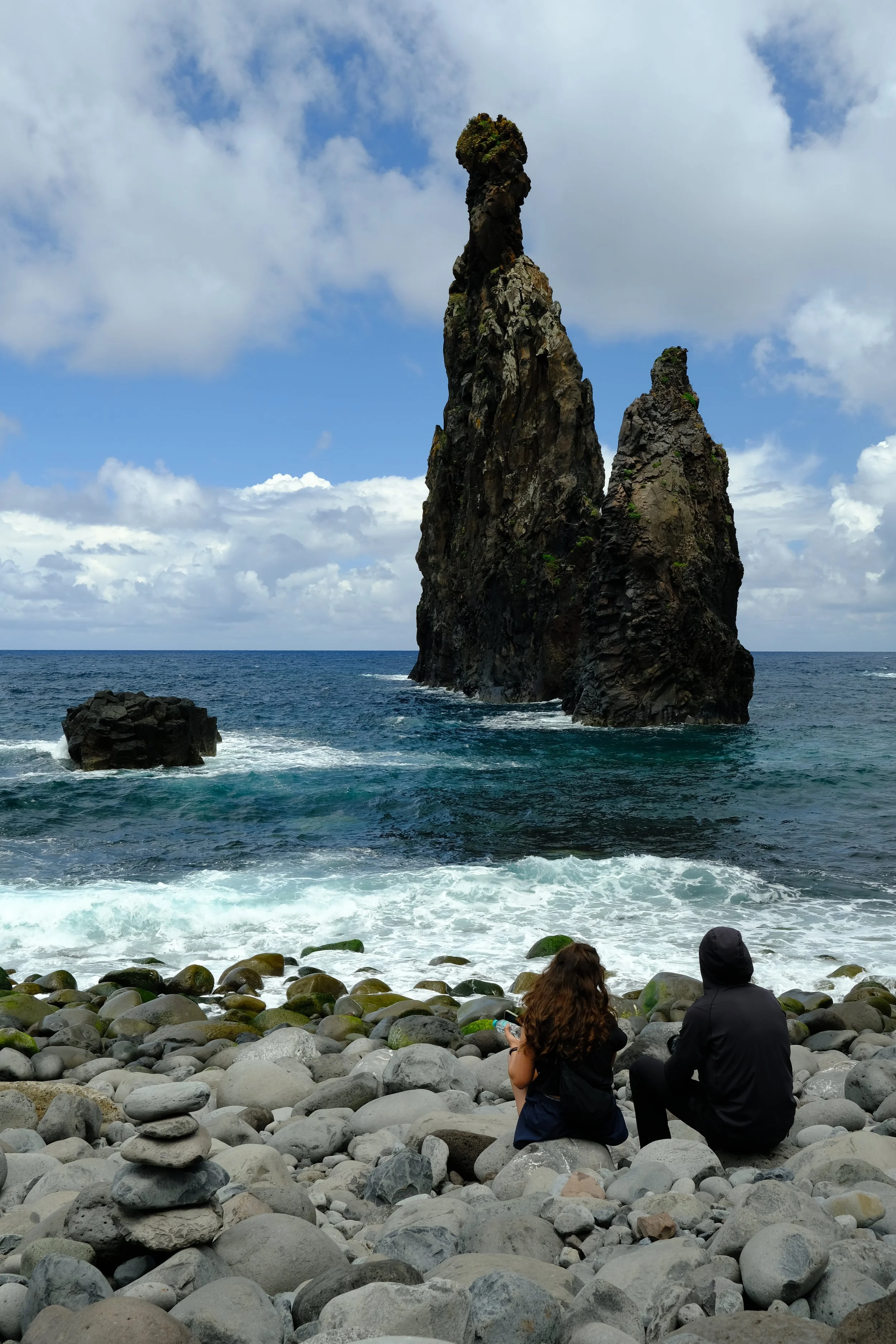
Trip Report - GR1 - Hiking and Camping the Madeira Crossing in May 2026
Short summary of my experience on the GR - Madeira Crossing in May 2026.
Hi All,
Thought I share my experience with hiking the GR1 - Madeira Crossing (West to East) which might help your owns trips.
I starting planning the trip late last year basing the route off the MIUT (ultra marathon). Coincidentally, in early 2026, the GR1 - Madeira Crossing was made official which just so happens to overlap with of what I was hoping to do. One major setback was that they changed the rules where now the PR1 can only be walked in 1 direction (south to north), which of course, does not in my favour. Below are some tips, tricks and observations:
Keen GR1 hikers should definitely based their trip around getting tickets to the PR1 and do it from East to West.
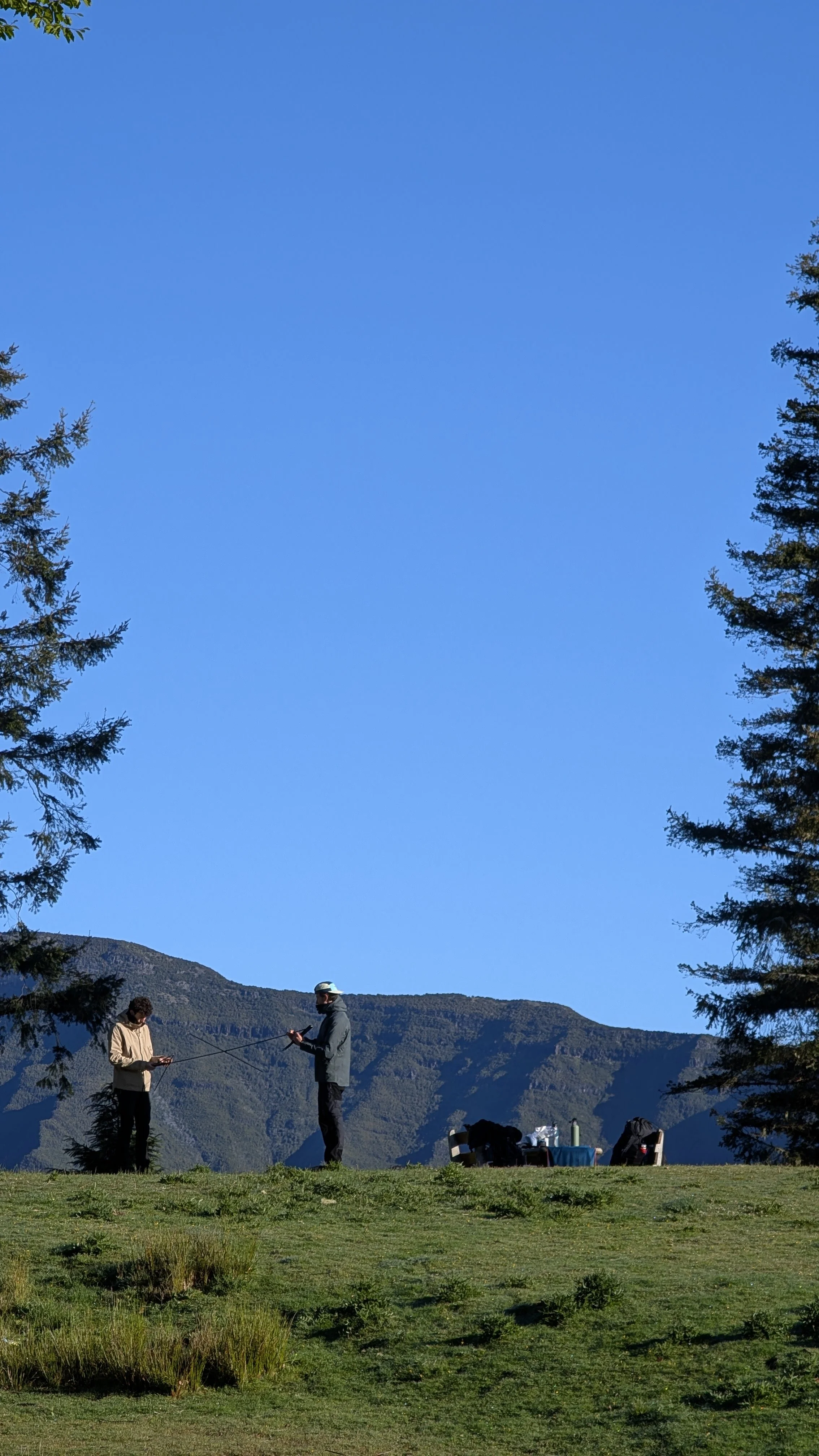
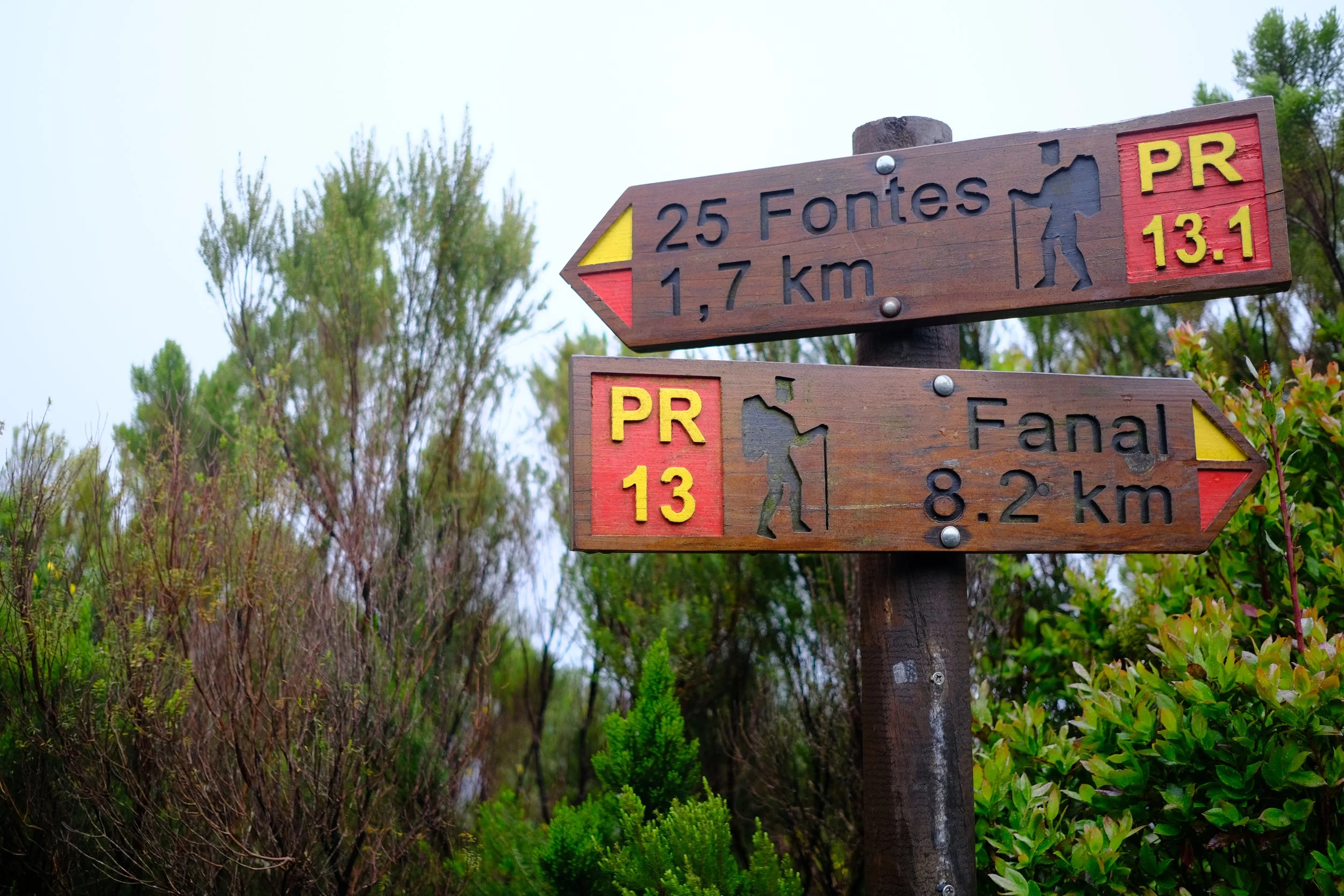
Campsites can be booked 3 months in advance. It is how I managed to secure lucrative spots such Fanal and Ponta de Sao Lourenco.
Camping permits were never checked at any campsite.
The number of people at each campsite when I stayed including myself: Fanal (1), Bica da Cana (3), Chão dos Louros (5), Pico das Pedras (3), Chão das Feiteiras (6), Ponta de São Lourenço (3).
I booked all the trails 2 weeks in advanced. The only ones which had limited spots were for PR 6 - Levada das 25 Fontes and PR 8 - Vereda da Ponta de São Lourenço. All others had plenty of availability at all timeslots.
I was only checked once for my access permits to the trail. This was around Pico Ruivo by a Forestry Guard who was going to lock up the PR1 gates.
I didn't do the PR1 :(
PR 1.3 - Vereda da Encumeada is closed. To get around this, I took a bus from Encumeada to Sao Vincente (2 EUR) and restocked on supplies. From Sao Vincente, I tool a Bolt to Ilha (20 EUR) and walked up PR1.1 towards Pico Ruivo.
PR 10 - Levada do Furado is closed. I hiked an alternative path via the various campsites in the south and then headed towards Mount Suna.
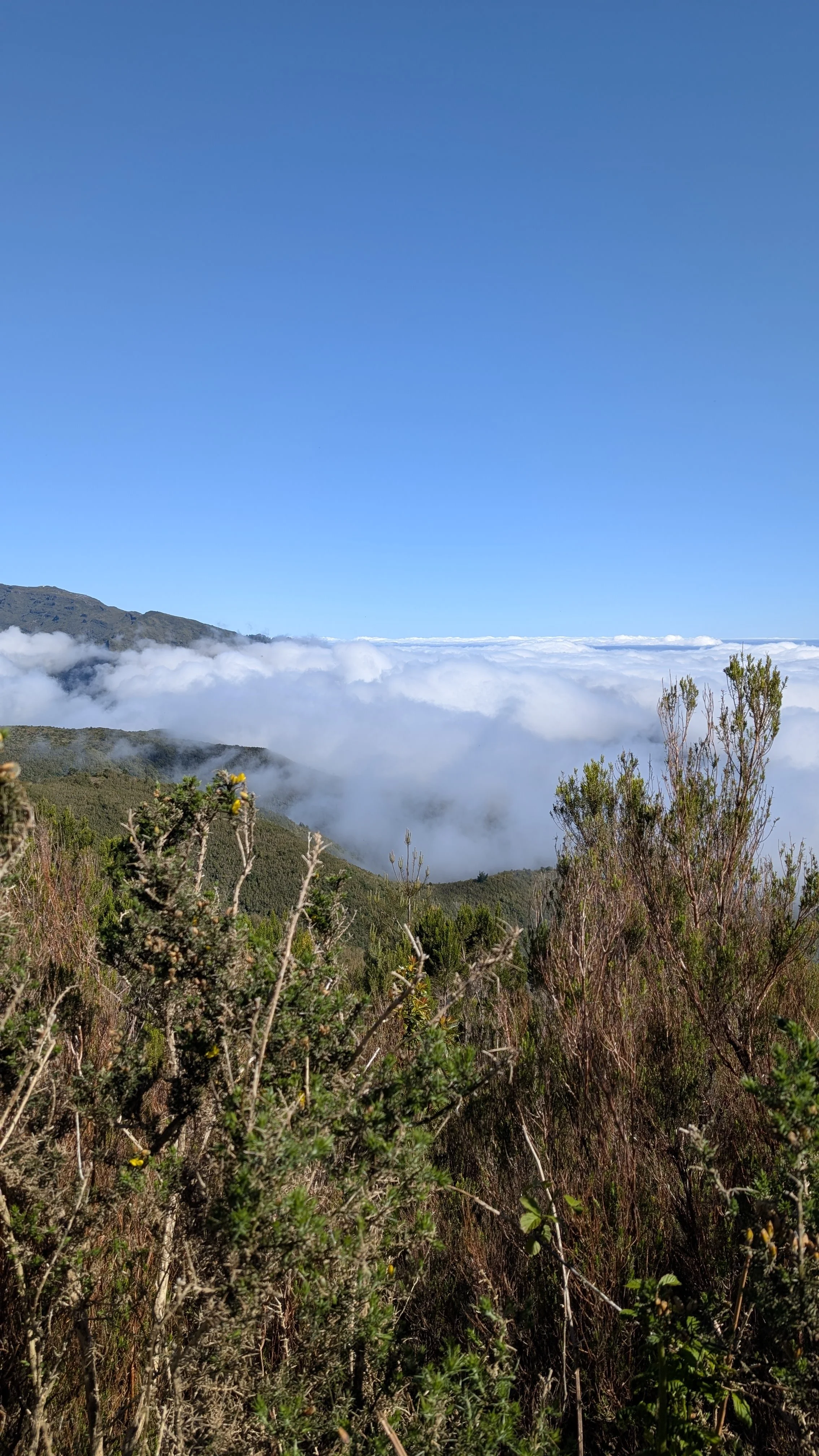
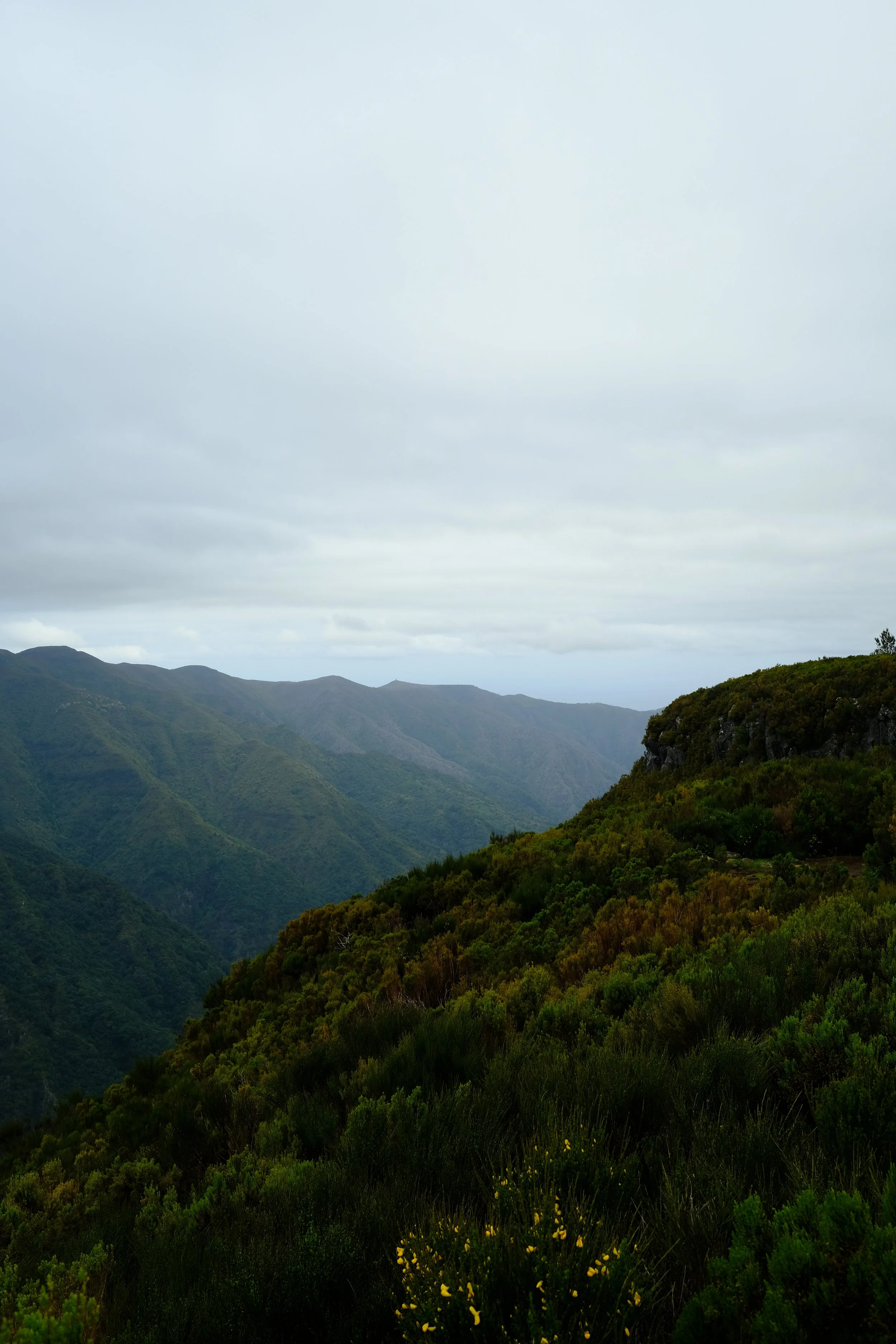
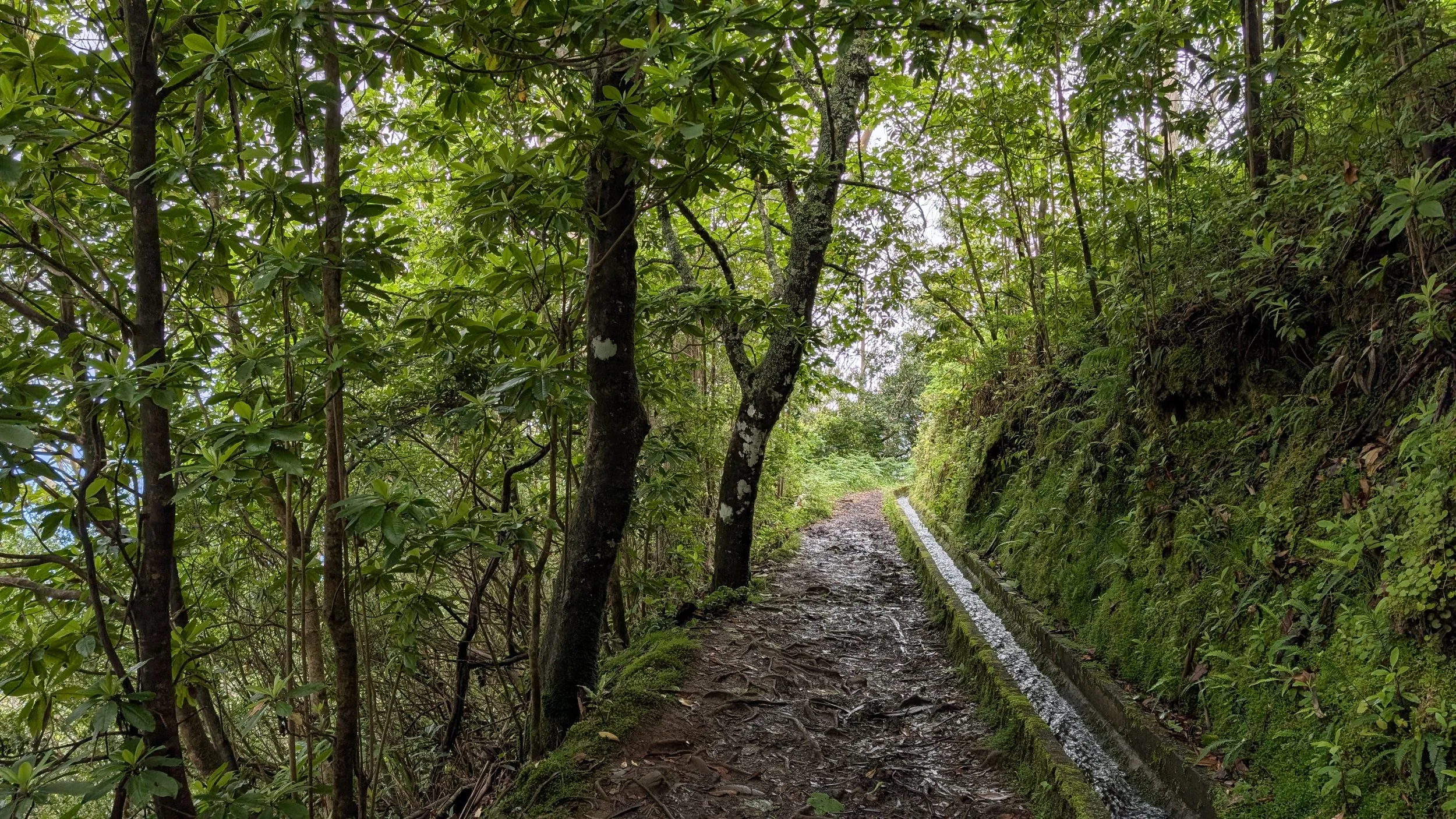
Weather was terrible. I was on the trail for a total of 7 days, 5 of which was just rain. Trails were extremely muddy and the west most tunnel on PR 17 - Caminho do Pináculo e Folhadal was flooded in sections up until the ankles. Hint, just get your shoes wet and plough on through.
Ride sharing services like Bolt and Uber are great to help bridge some of the gaps. They are super reliable during the day and generally, wait times is only about 10-15 minutes. However, at night, it is a different story. Unless you're a big fare (like from Achada do Teixeira or the airport to Funchal), drivers won't take the job.
Google map is not accurate. I found that using RomeToRio more reliable but do cross reference this with the official timetables on the SIGA website.
I put all my planning notes and lessons learnt on this page: https://www.chalkypeaks.com/gr1-madeira-crossing-porto-moniz-to-canical