Chamonix Valley · France
Lac Cornu and Lac Noir Return
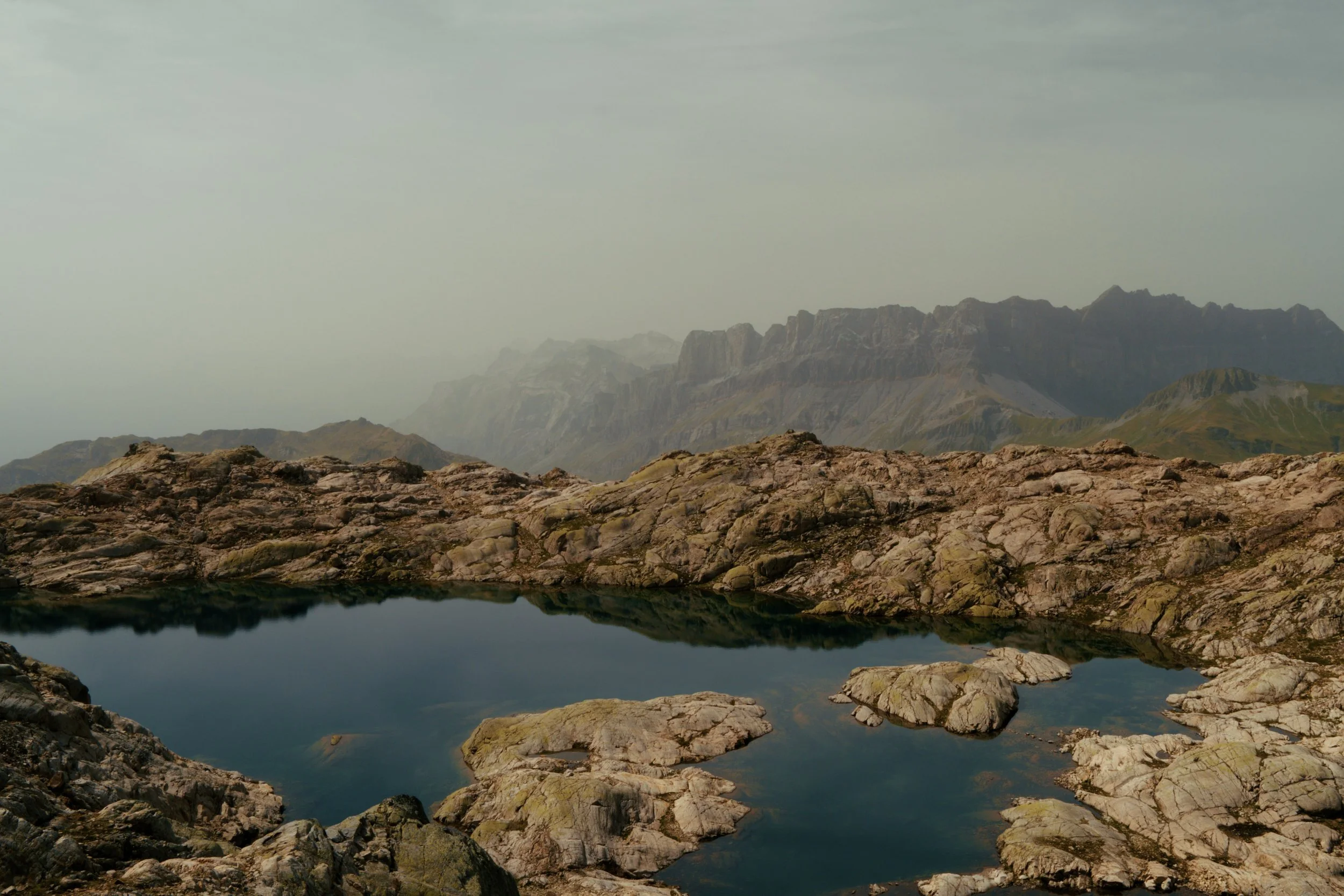
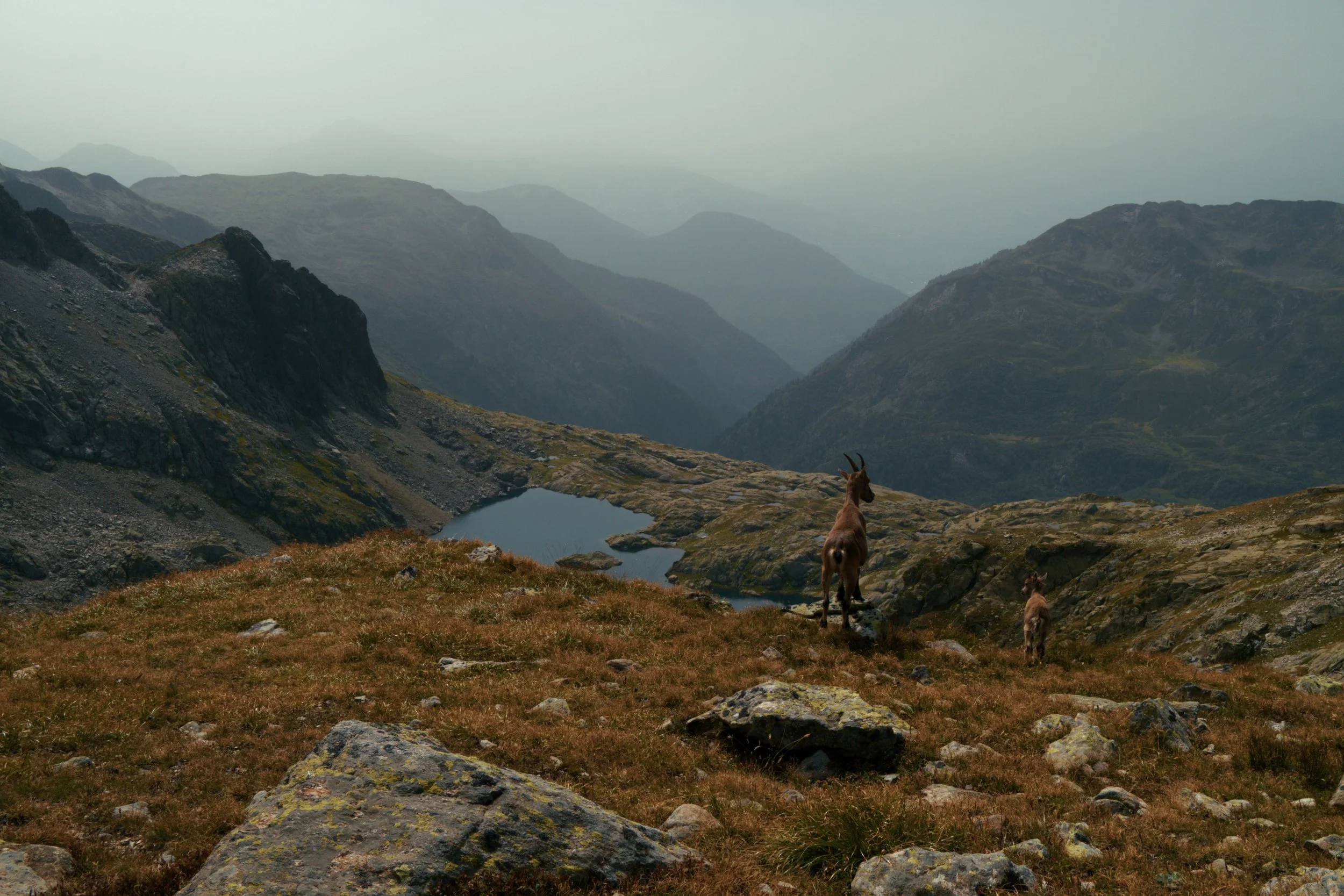
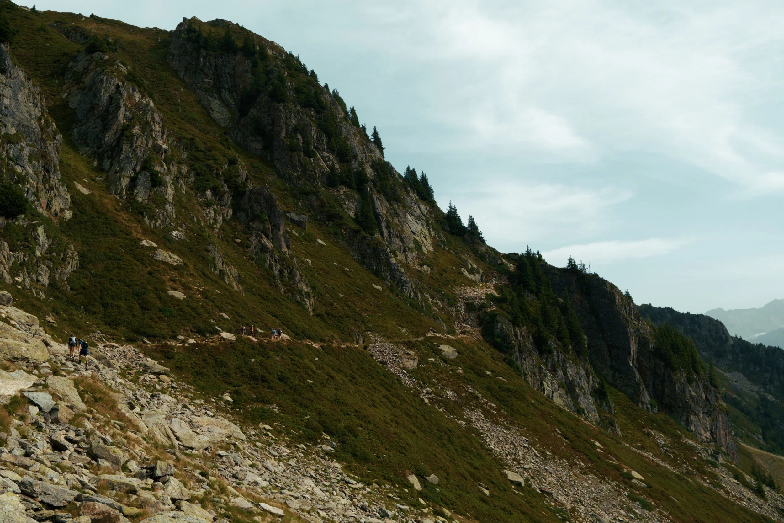
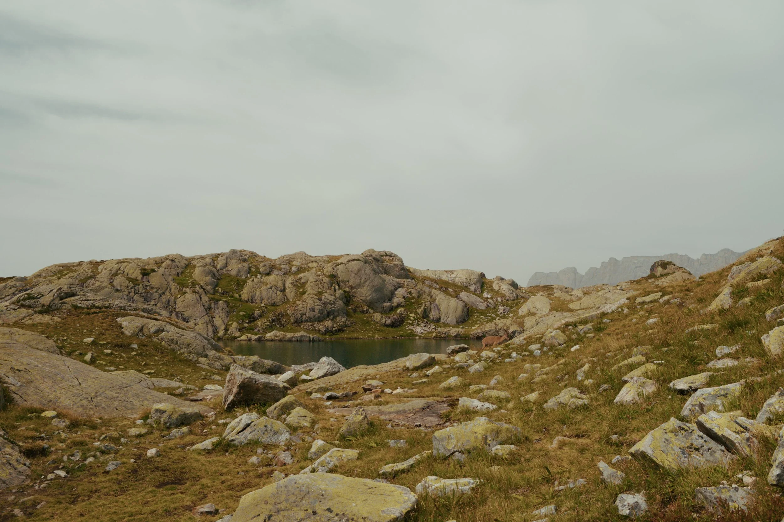
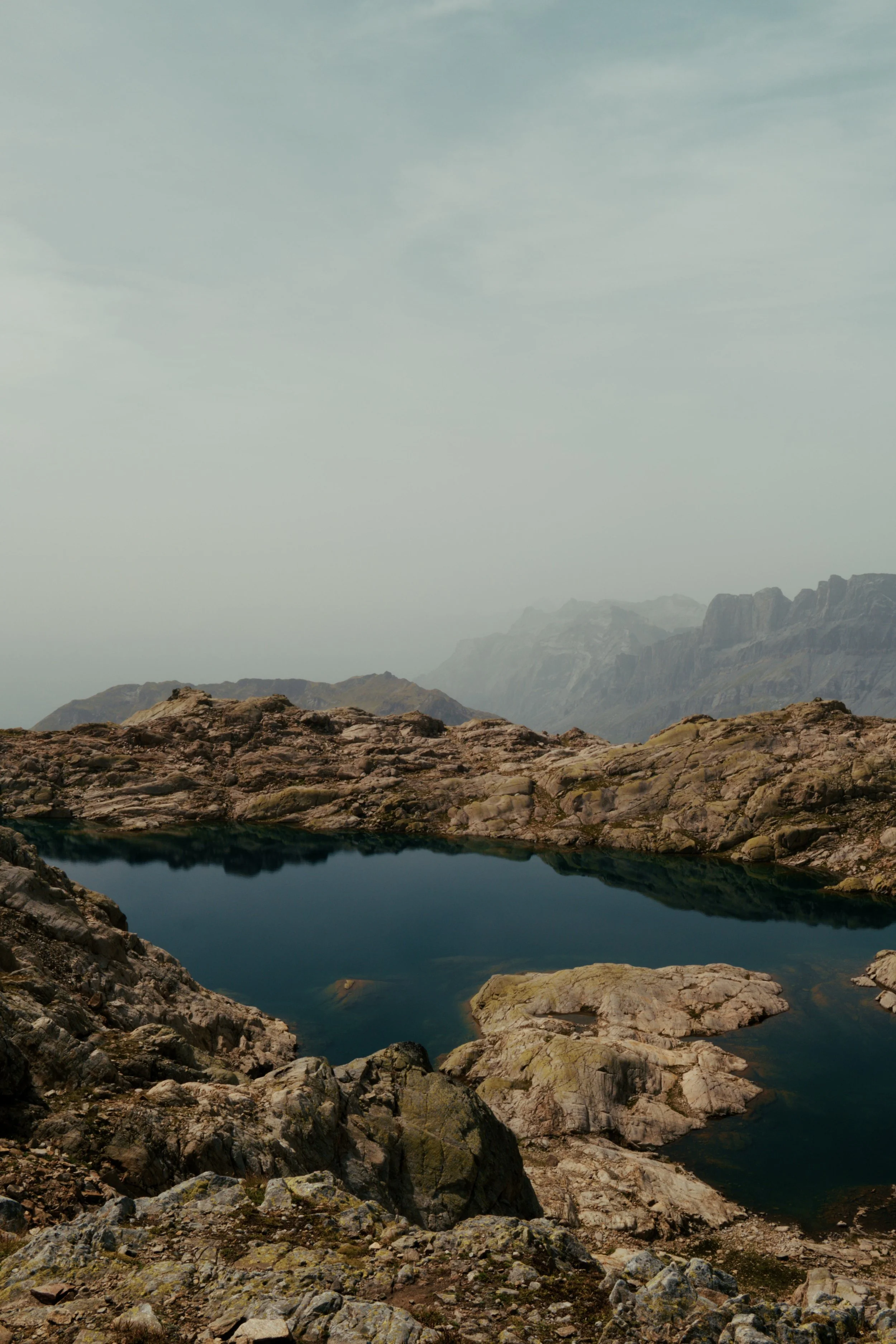
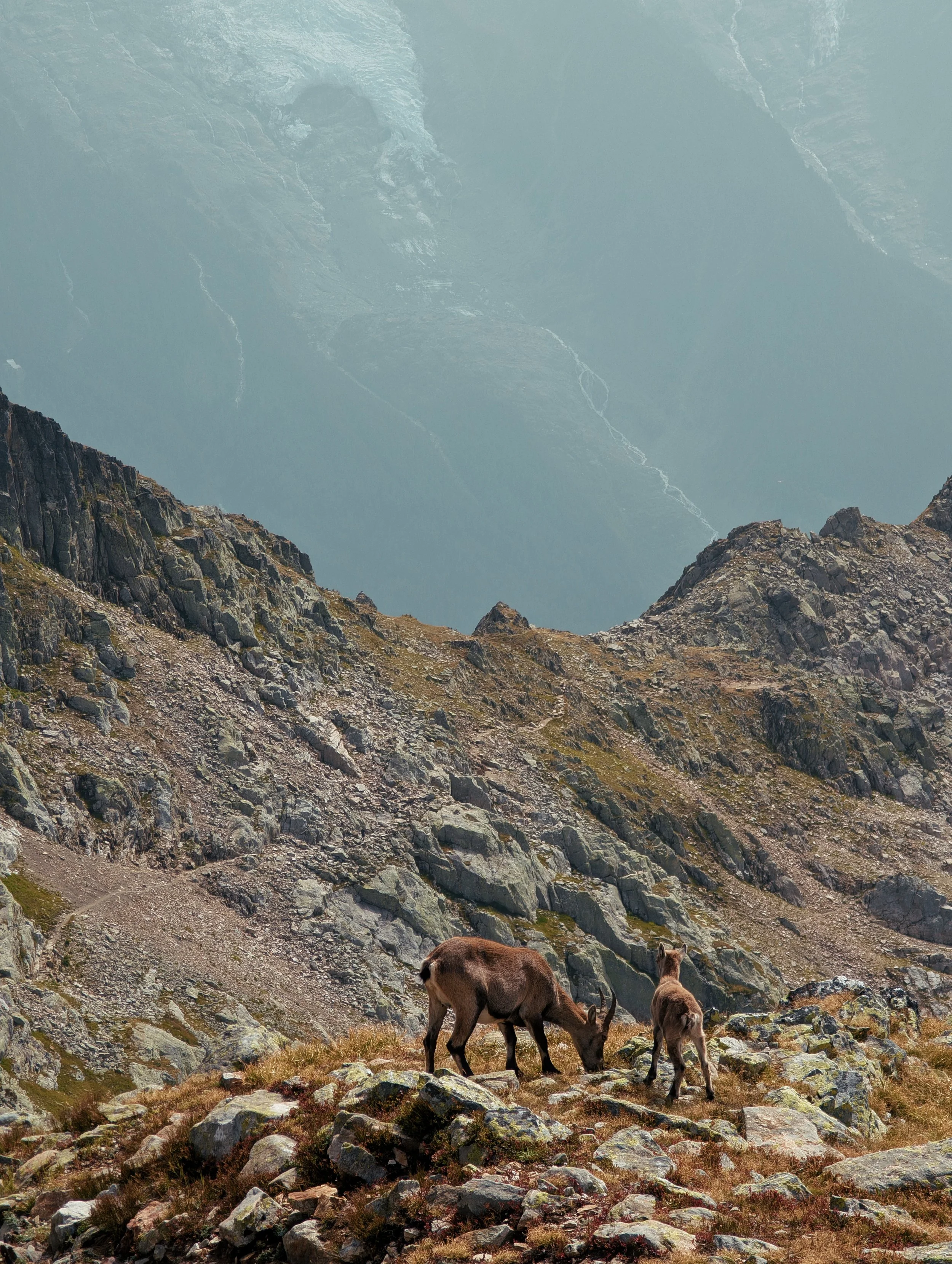
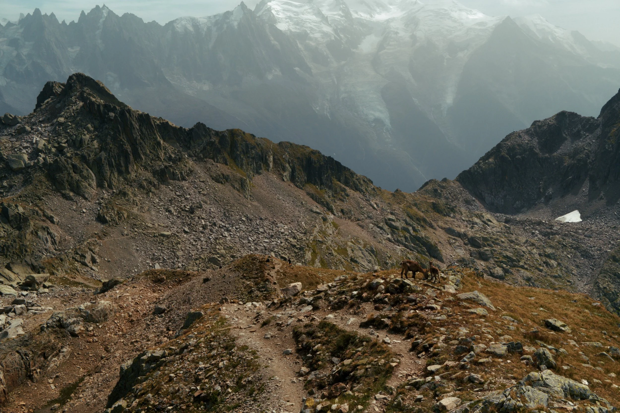
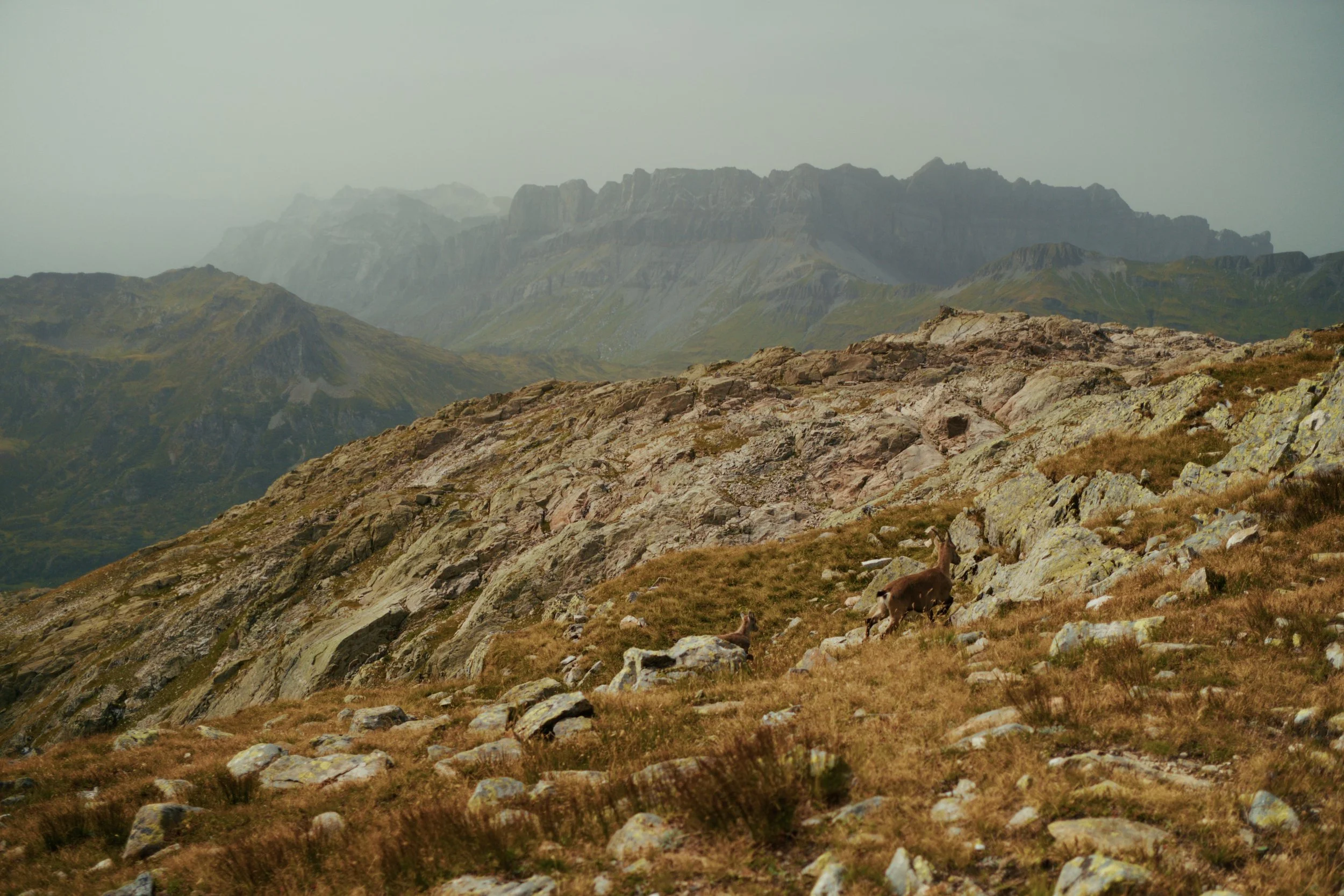
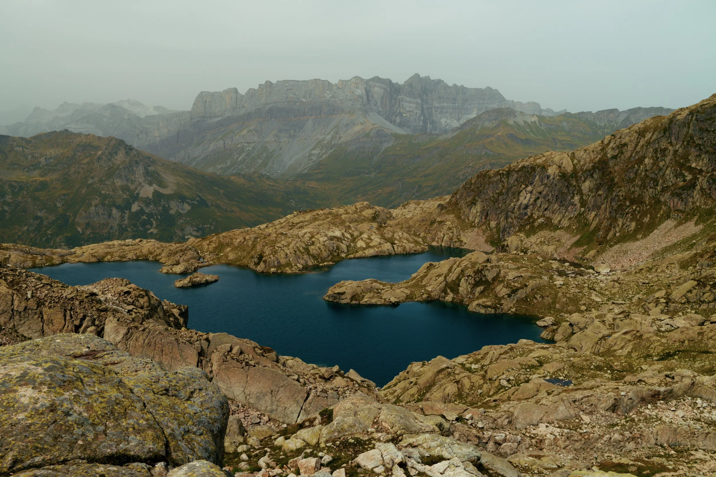
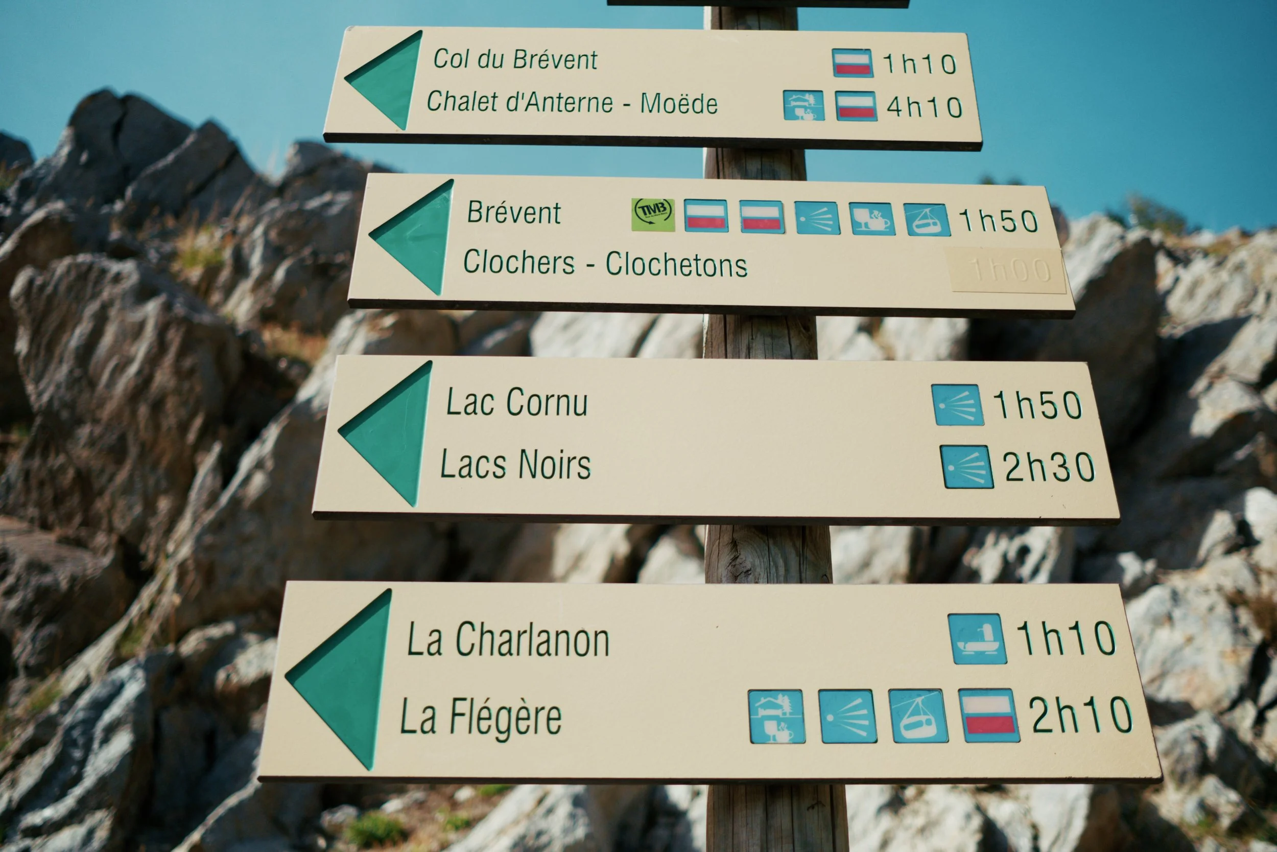
The hike to Lac Cornu and Lac Noir is a stunning trail in the Chamonix Valley, taking you high above the valley floor with incredible views of Mont Blanc, dramatic peaks, and two beautiful mountain lakes.
ACTIVITY OVERVIEW
📏 Distance
10.2km/6.3mi
⏱️ Duration
5 hours
📈 Elevation
740m/2427ft
🗓 Best Season
Late June – September
ESTIMATED COSTS
🚡 Lifts Passes
~25 EUR
The Route
⚠️ The maps provided on this website are intended as a general guide only. Conditions, routes, and features may change at any time. Always rely on your own judgement and seek local or professional advice if possible.
🧭 Navigation Tips
Download offline maps before you go - cell signal is unreliable.
Be familiar with key safety locations and emergency shelters in case you need to bail part way.
Check weather and trail conditions before starting.
Getting to the Trail Head
🚡 Gondola
You can catch the Planpraz gondola directly to the start of the trail head. The gondola is a short walk from the city centre and only costs about 25 EUR return for an adult. Do be conscious of the time as the gondala is only open between 8:00am and 17:00pm in summer.
25 EUR · 15 minutes
🚎 Transfer Tips
It is best to always check the opening times of the gondola it varies throughout the season.
It is possible to walk up to top of the PlanPlaz gondola but it is quite tough.
Food Options
There are no food options around Lac Cornu and Lac Noir. It is best to bring a pack lunch and enjoy the views.
👩🏻🍳 Self cater
Getting Home
🚡 Gondola
Catch the gondola back down to chamonix using the same ticket that you came up with..
25 EUR · 15 minutes
🚎 Transfer Tips
Double check the closing time of the gondola. You don’t want to be
Terms of Use
A quick but important note for all visitors: we do our best to share high-quality, accurate information, but it’s always possible that we’ve missed something or that conditions have changed. All GPS tracks (GPX files and maps) and route suggestions are meant to be used as general guidelines—not exact instructions.
Enjoy the Content?
If any of my guides have helped you plan a trip and you’re feeling a little bit generous, consider a small donation to help keep the content coming.