Dolomites · Italy
Tre Cime di Lavaredo Circular
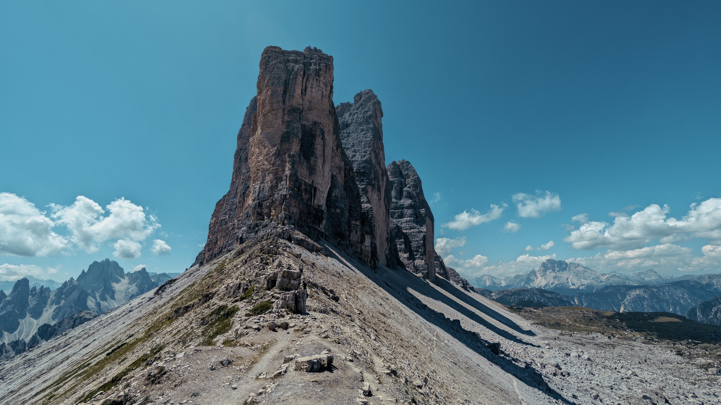
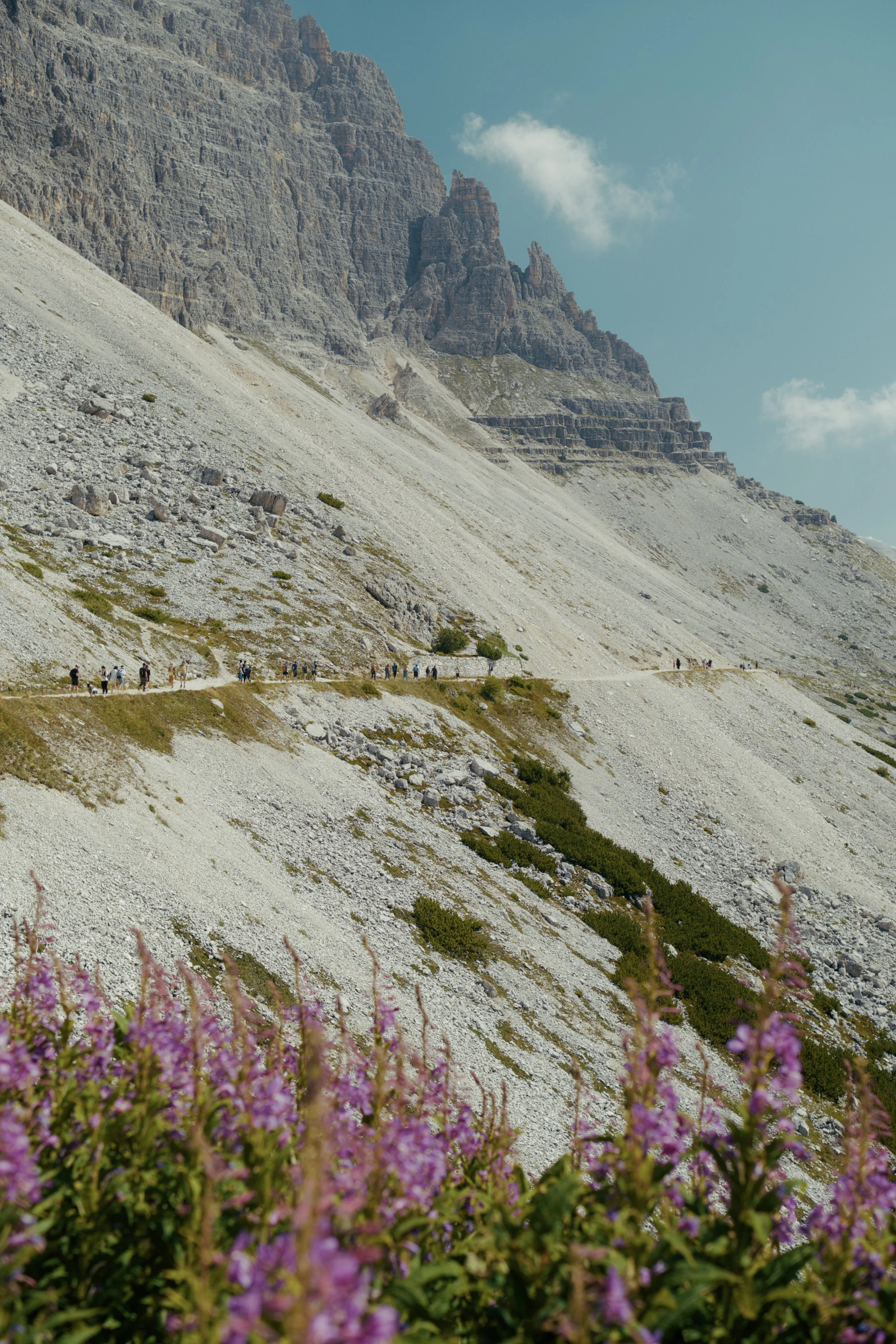
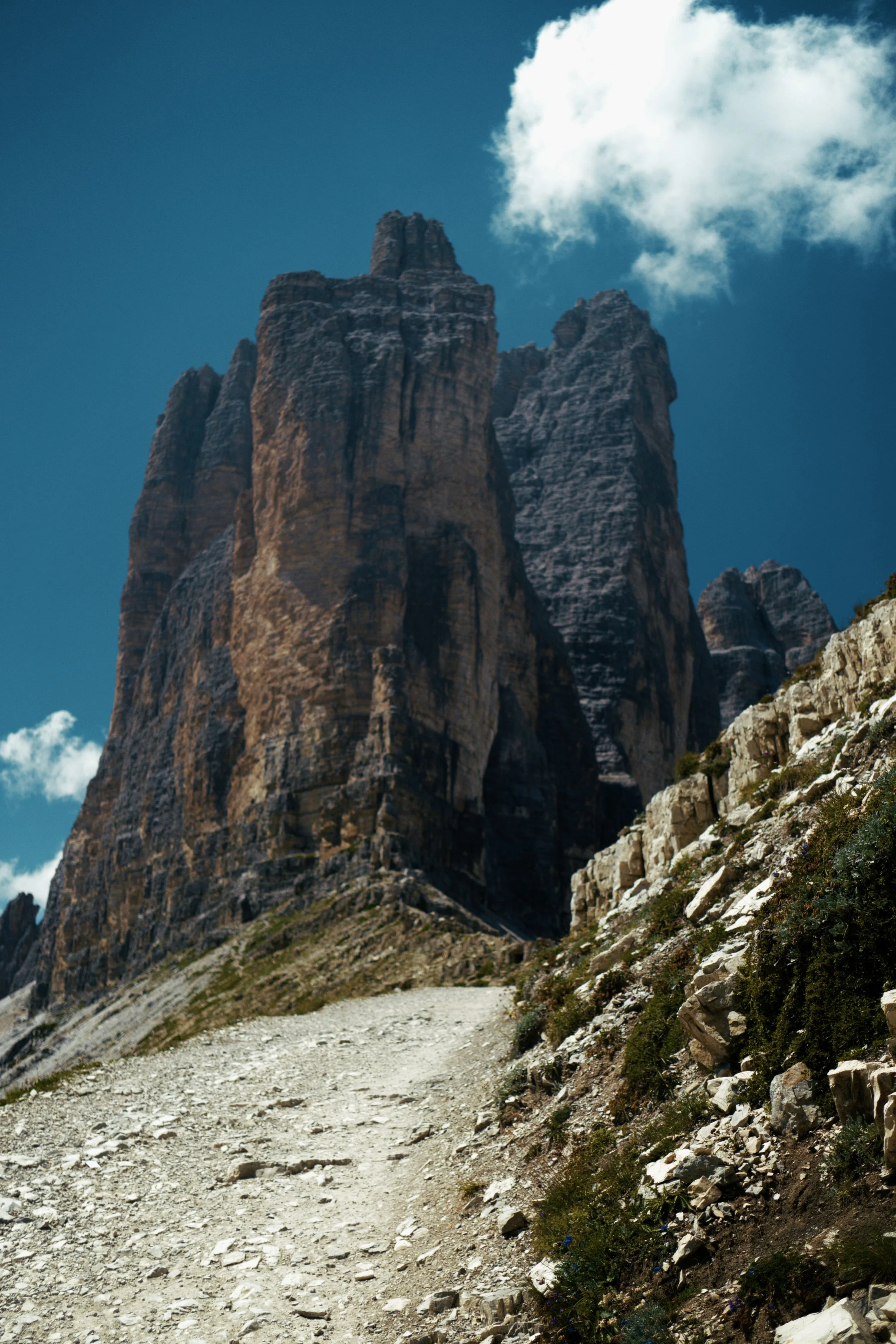
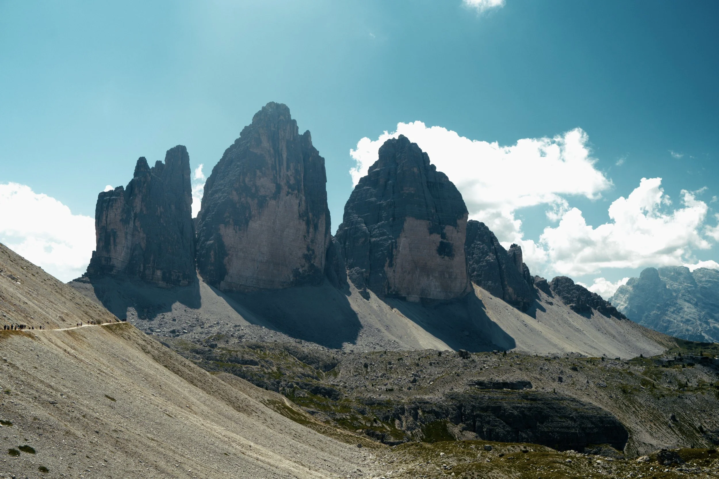
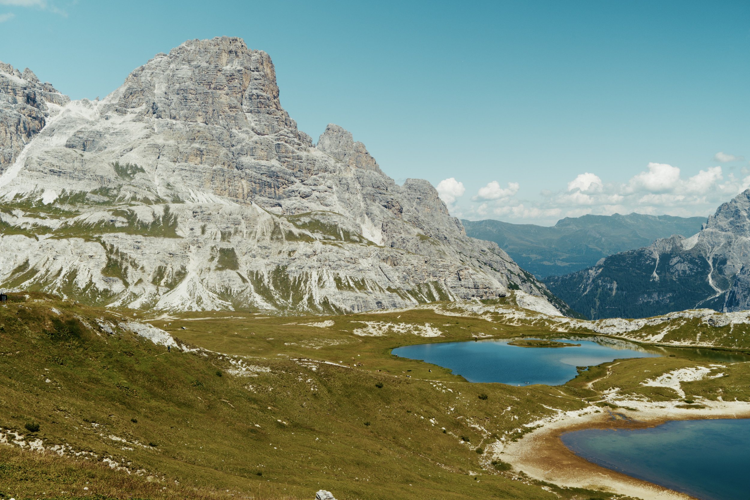
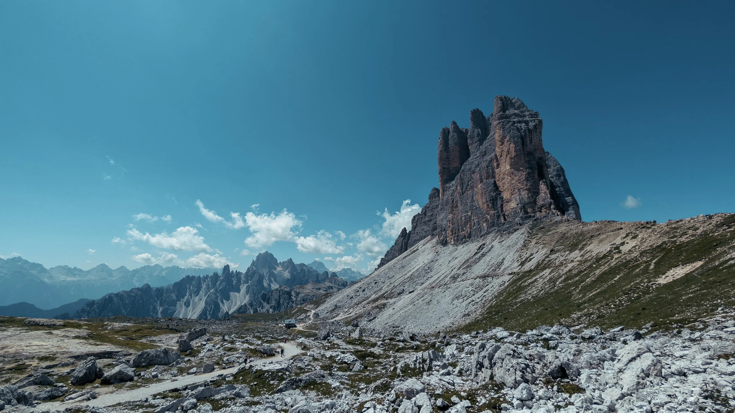
The Tre Cime di Lavaredo Circular is one of the Dolomites’ most iconic hikes, taking you around the famous Three Peaks with incredible views in every direction. The relatively easy trail passes mountain refuges, alpine meadows and dramatic limestone landscapes, making it a must-do hike in the region.
ACTIVITY OVERVIEW
📏 Distance
10.0km/6.2mi
⏱️ Duration
3.5 hours
📈 Elevation
340m/1115ft
🗓 Best Season
Late June – September
ESTIMATED COSTS
🚌 Transfers
~15-20 EUR
The Route
⚠️ The maps provided on this website are intended as a general guide only. Conditions, routes, and features may change at any time. Always rely on your own judgement and seek local or professional advice if possible.
🧭 Navigation Tips
Download offline maps before you go - cell signal is unreliable.
Be familiar with key safety locations and emergency shelters in case you need to bail part way.
Check weather and trail conditions before starting.
Getting to the Trail Head
🚎 Public Buses
The urban buses operated by DolomitiBus is the easiest way to get around.
To get to the trail head, you can catch Line #51 to Misurina. From there, you can catch Line #50 and get off at the end of the line at Tre Cime Rifugio Auronzo bus stop. The buses leave Cortina about once an hour during the summer season and tickets can be purchased directly on the bus or via their mobile app.
15-20 EUR · 1.5 hours
🚕 Taxis
Taxis are always an option for privacy and convenience but does come at a cost.
20-40 EUR · 10 min
🚎 Transfer Tips
It is best to catch the earlier buses as it can be very busy.
The DolomitiBus app is a must if you plan to be in Cortina for more than a few days. It offers multi-day passes, discount tickets making it much cheaper than buying tickets on board.
Tickets must be validated just before you get on board the bus.
There are two type of fares that DolomitiBus offers which are important in the Cortina area:
Urban services - buses operating within Cortina and its immediate built-up area. These are useful for getting around town and to nearby stops.
Extra-urban services — buses travelling between Cortina and surrounding towns, villages and mountain areas. These are commonly used to get to the trailhead for Lago di Sorapis, Tre Cime di Lavaredo and Cinque Torri.
The timetable for both the urban and extra urban likes are be found on their older official dolomitibus.it website.
Food Options
🛖 Rifugio Lavaredo
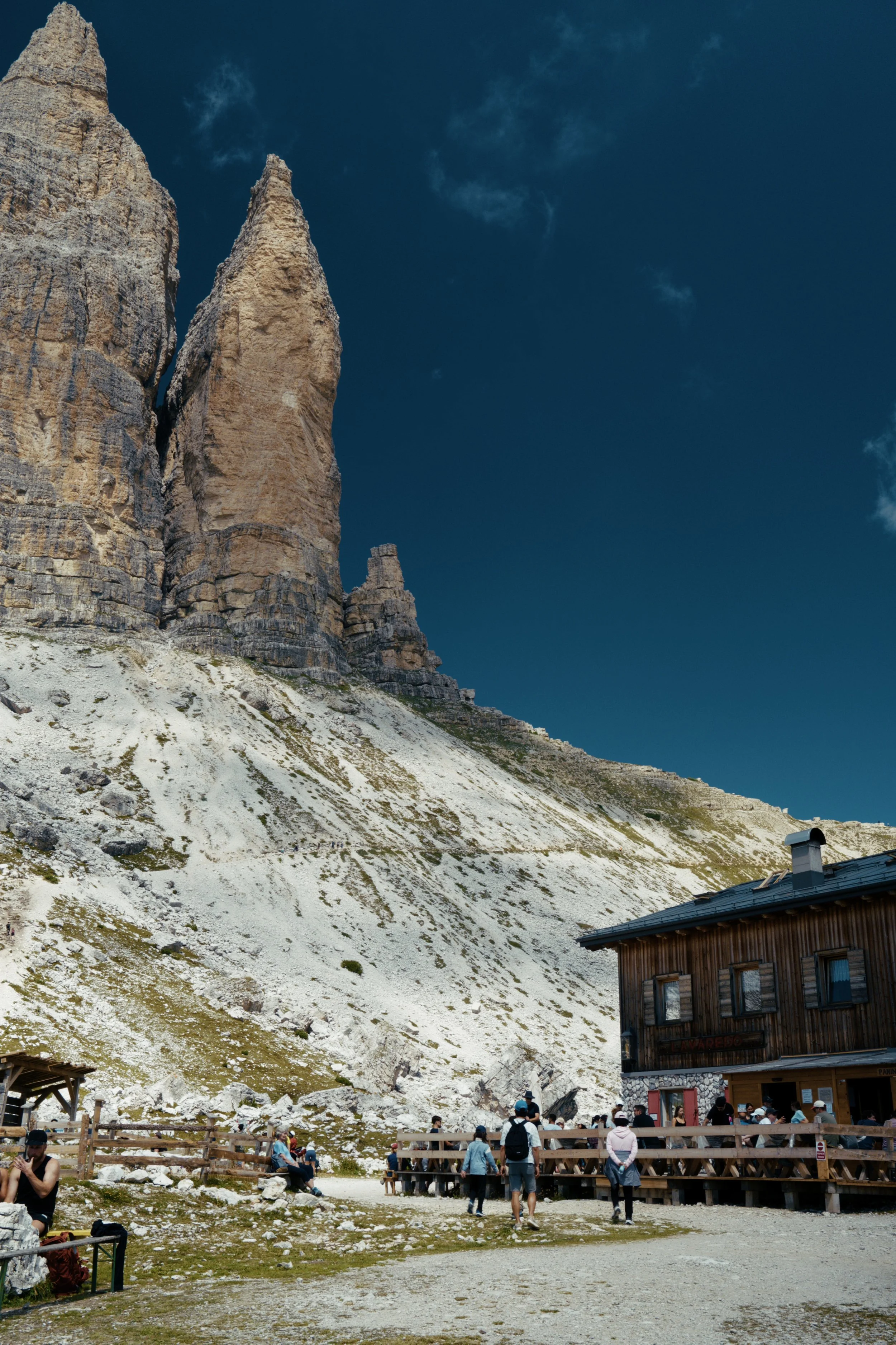
Rifugio Lavaredo offers a range of hot and cold drinks, sandwiches, cakes and traditional mountain dishes.
15-25 EUR
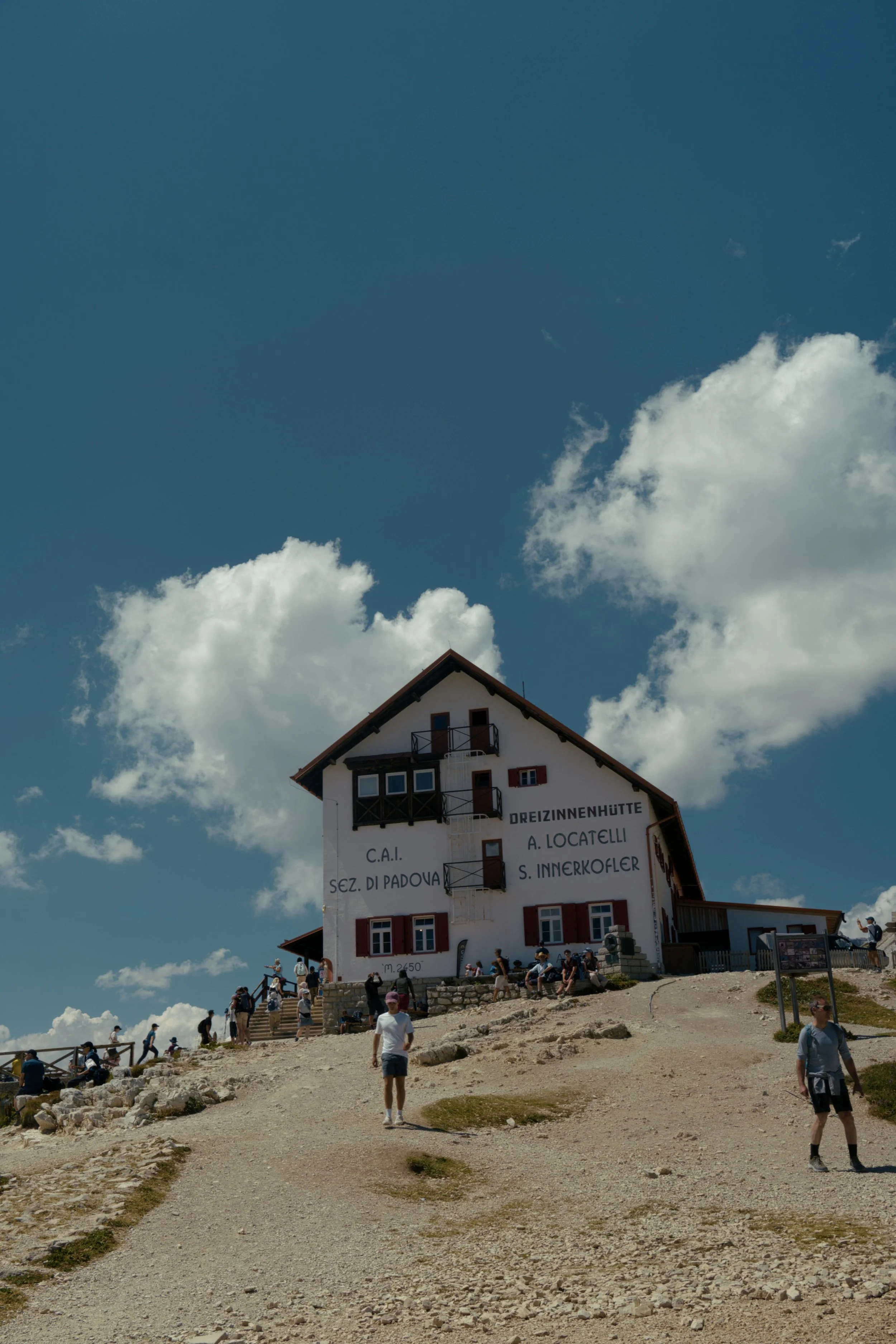
🛖 Drei Zinnen Hütte
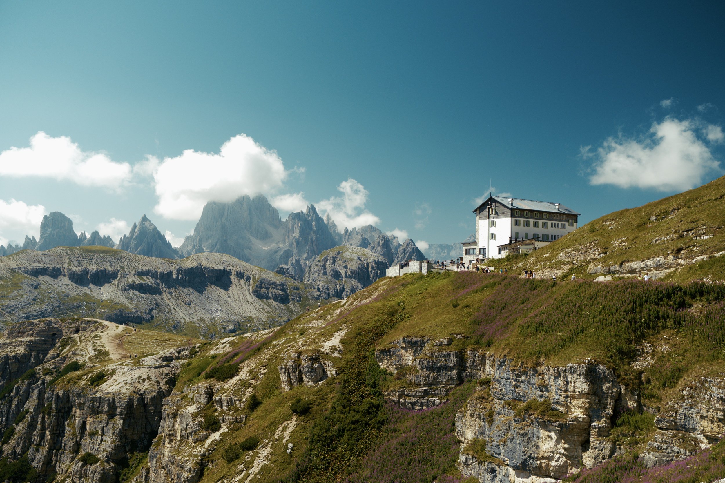
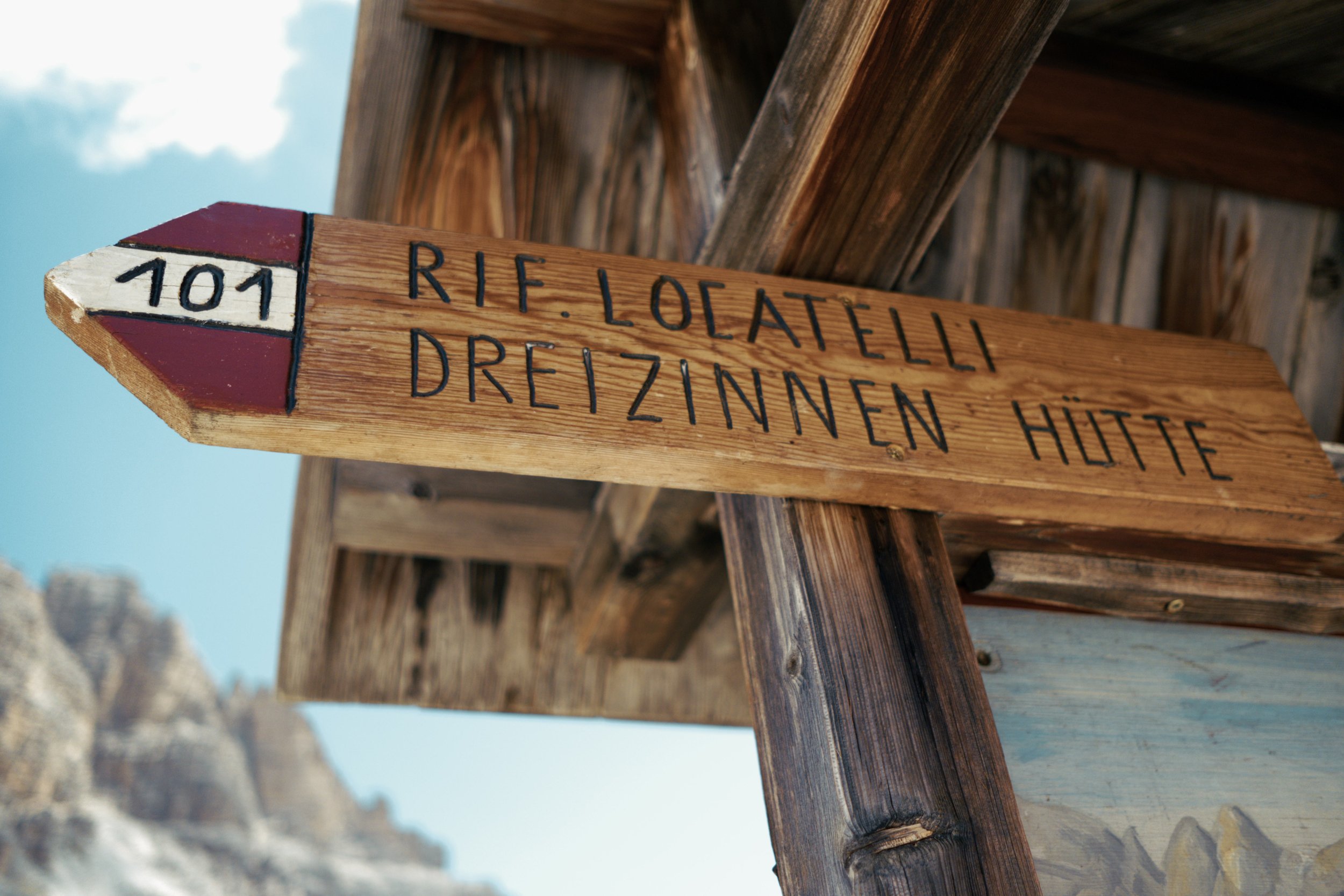
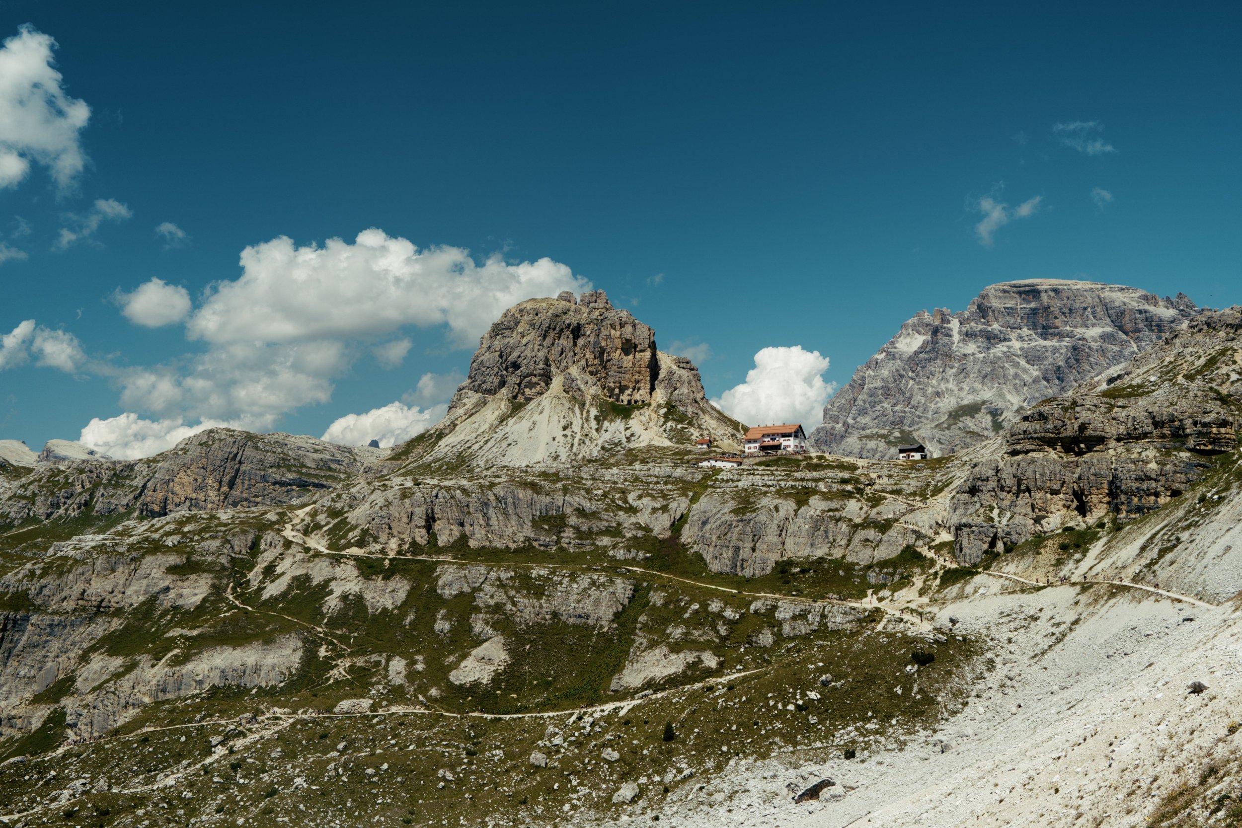
Drei Zinnen Hütte is one of the most iconic refuges in the Dolomites, sitting at 2,405 metres directly beneath the Tre Cime. The hut serves traditional dishes with options including pasta, soups, dumplings, polenta, sausages and homemade cakes, alongside hot and cold drinks.
15-25 EUR
🛖 Malga Langalm
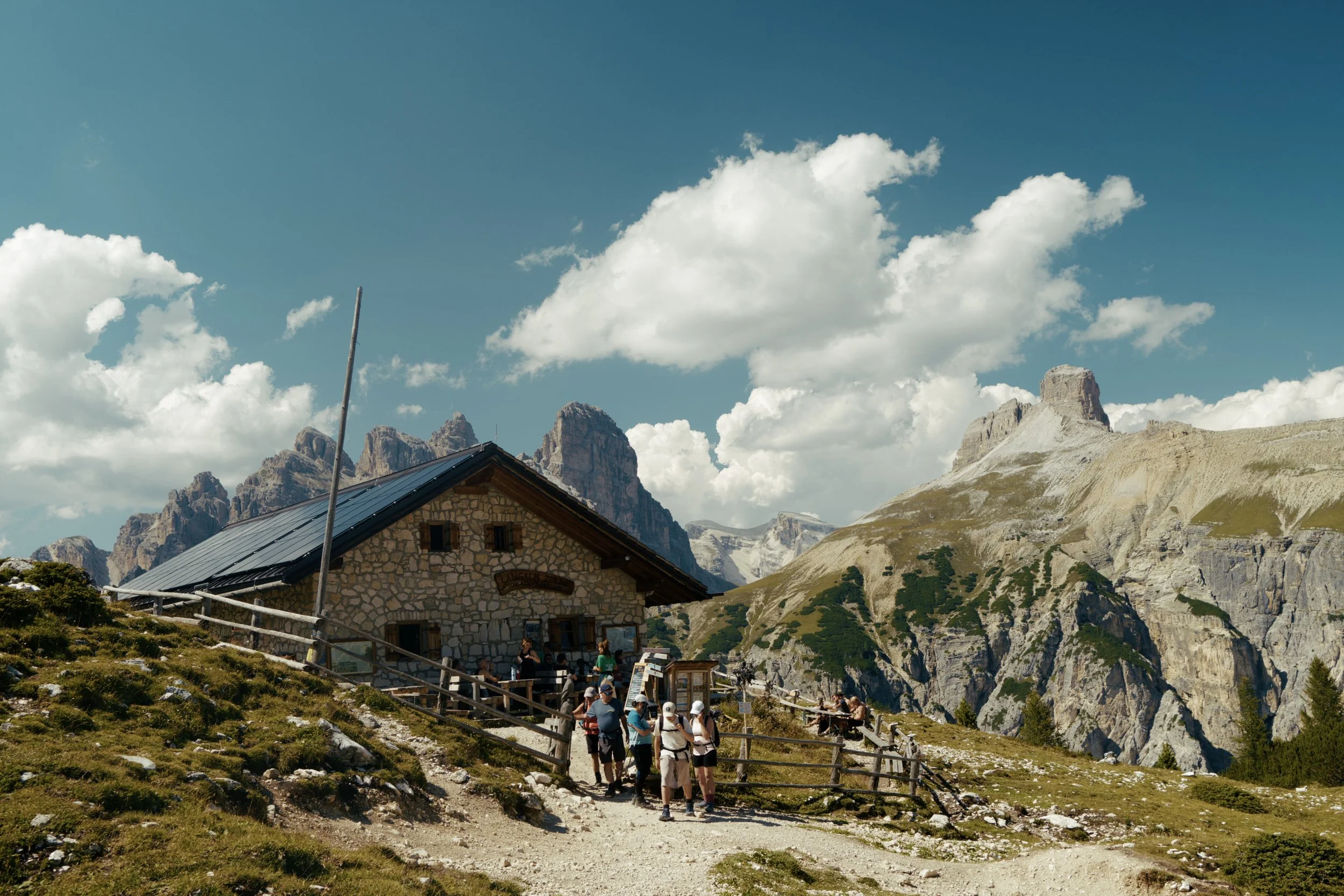
A smaller alpine mountain hut on the Tre Cime circular, offering a selection of traditional South Tyrolean food and refreshments.
15-25 EUR
🛖 Rifugio Auronzo
Located at the southern end of the Tre Cime circular, it makes it a convenient stop before or after the hike. The refuge offers hot and cold drinks, sandwiches, cakes and traditional mountain dishes, with plenty of seating to enjoy the views.
15-25 EUR
Getting Home
🚎 Public Buses
Catch Line #50 back to Misurina. From there, you can change and catch Line #51 to get back to Cortina.
15-20 EUR · 1.5 hours
🚕 Taxis
Taxis are always an option for privacy and convenience but does come at a cost.
20-40 EUR · 10 min
🚎 Transfer Tips
The buses can be very busy as this is one of the most iconic trails in the dolomites. Try and avoid getting the last bus to give you some buffer and arrive extra early.
The buses around Cortina have different schedules for different seasons. It is best to double check the timetables on the official dolomiti.it website the to ensure that you have the most up-to-date information.
Terms of Use
A quick but important note for all visitors: we do our best to share high-quality, accurate information, but it’s always possible that we’ve missed something or that conditions have changed. All GPS tracks (GPX files and maps) and route suggestions are meant to be used as general guidelines—not exact instructions.
Enjoy the Content?
If any of my guides have helped you plan a trip and you’re feeling a little bit generous, consider a small donation to help keep the content coming.